Elevation of Jinju-si, Gyeongsangnam-do, South Korea
Location: South Korea > Gyeongsangnam-do >
Longitude: 128.1076213
Latitude: 35.1799817
Elevation: 37m / 121feet
Barometric Pressure: 0KPa
Related Photos:

Street View
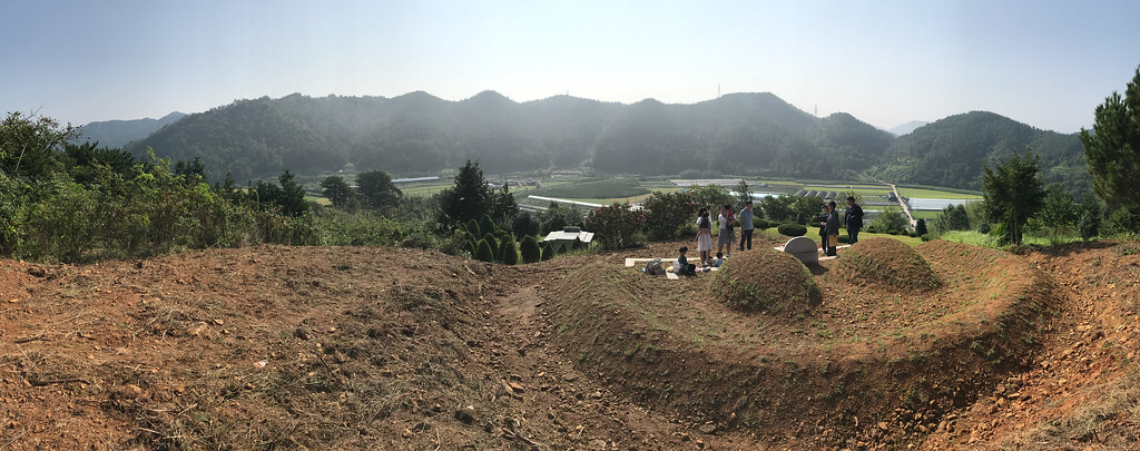
gravesite view

천수교와 음악분수 Bridge and fountain

진주 시가지 City of Jinju

Temple in Jinju

PB123859.jpg

여름철 고향 진주의 #금호지

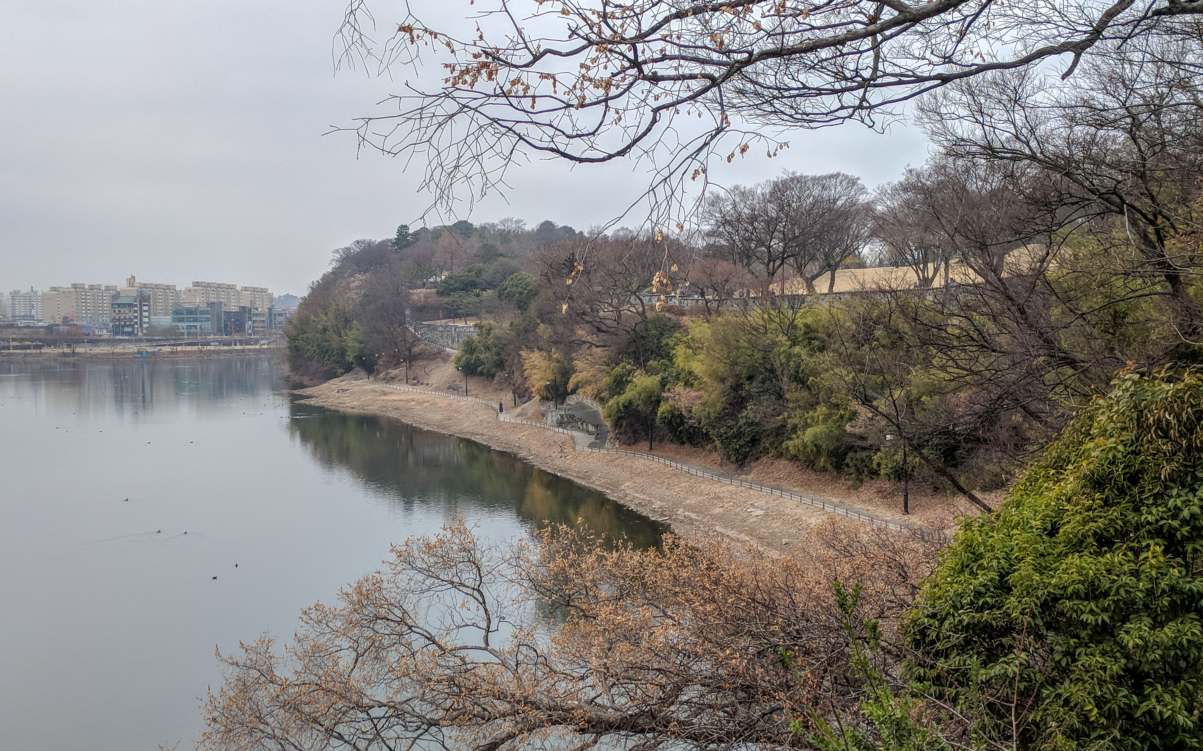
고향 진주 #금호지
의암 Uiam Rock
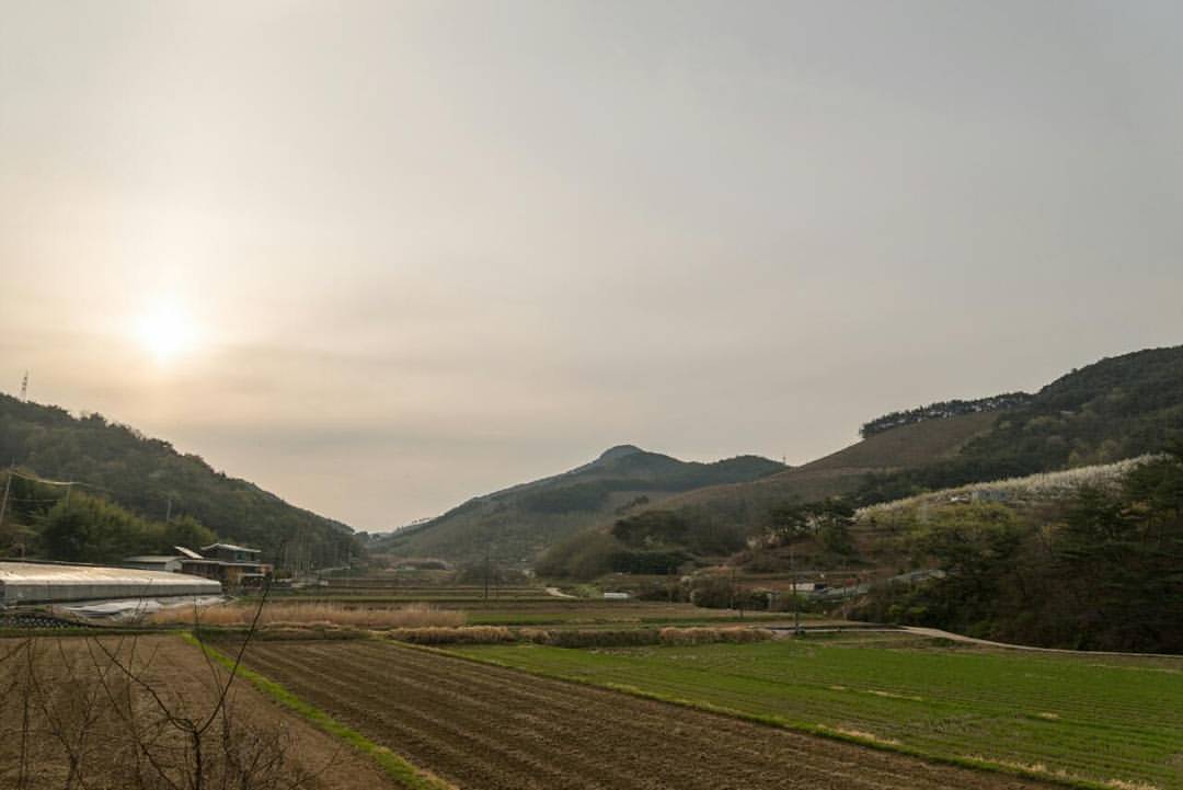
고향마을의 봄철 #들녘

#진주 #남강 변에 피어 있는 #큰금계국 #꽃 #coreopsis #flower

RI036824.JPG
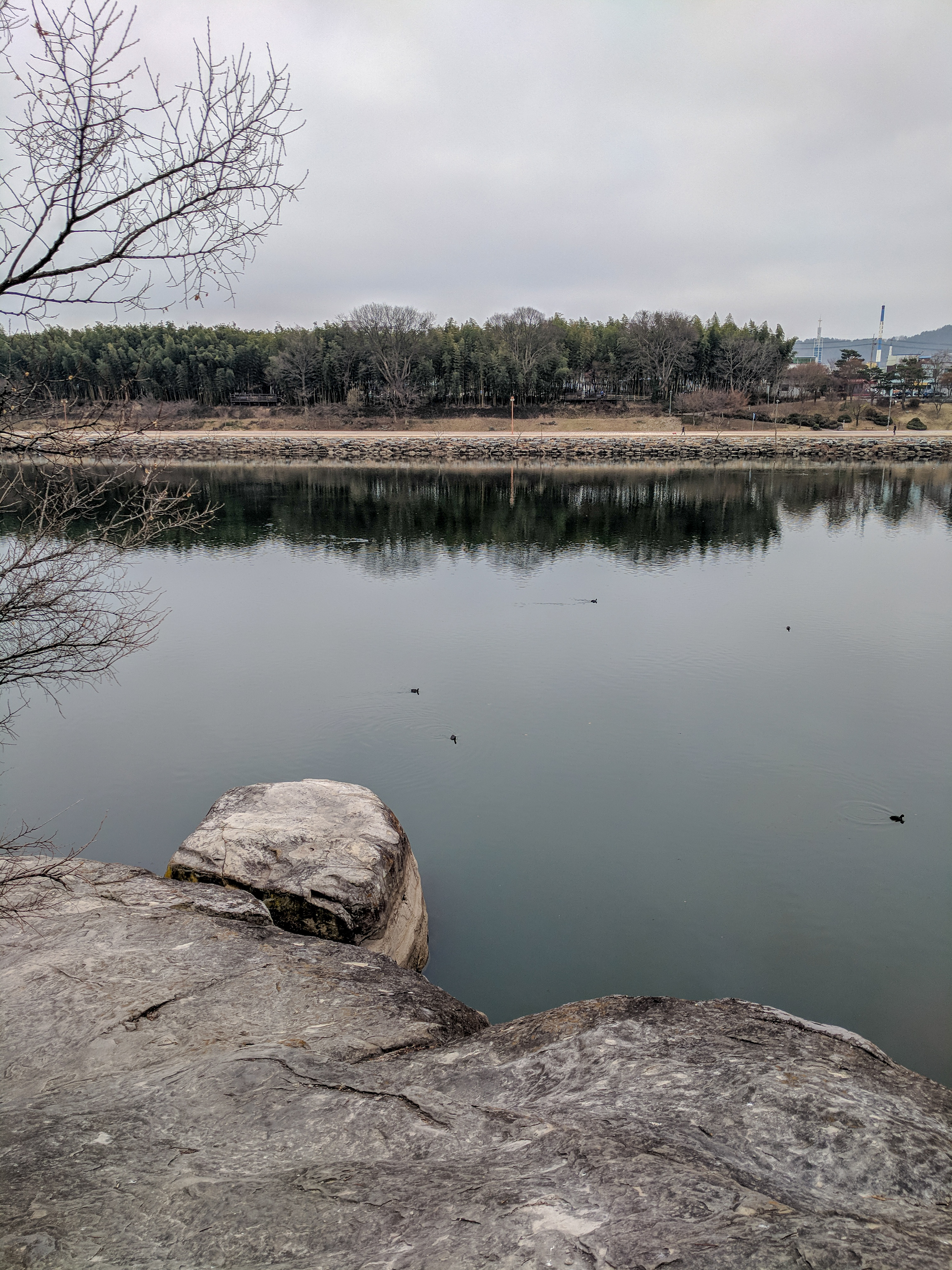
남강 Namgang river

2012-07-18_1

비 온다
2012-07-18_2

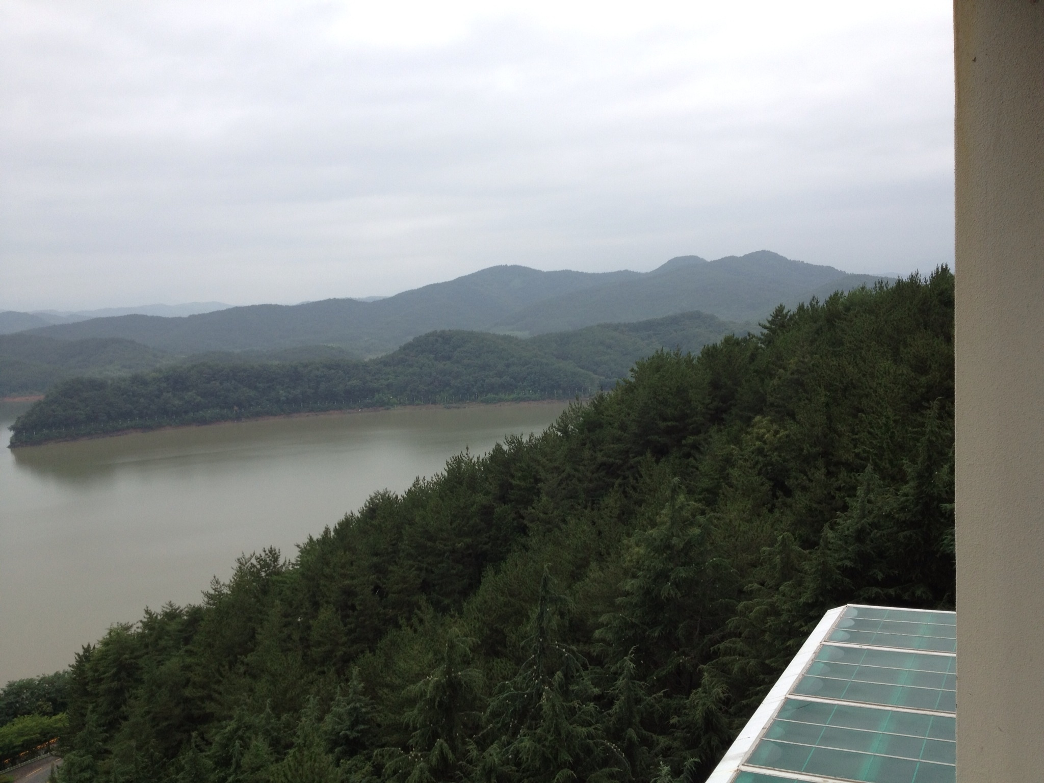
호텔 5층 디럭스룸에서 바라본 호수전경/sunset

PA093220.jpg

고향 진주의 #금호지

晉州流燈節 (24).JPG

RI036804.JPG

RI036841.JPG

제주 섭지코지
Topographic Map of Jinju-si, Gyeongsangnam-do, South Korea
Find elevation by address:

Places in Jinju-si, Gyeongsangnam-do, South Korea:
Places near Jinju-si, Gyeongsangnam-do, South Korea:
Gajwa-dong
Gyeongsangnam-do
Masan
Gimhae-si
Secheon-ro 1-gil
Camp Walker
Bongdeok 3(sam)-dong
Camp Henry
Icheon-dong
Daegu
Daegu
Chilgok-gun
Seokjeon-ro
Camp Carroll, South Korea
Seonamsa Temple Entrance
Baegyangsan-ro
Yangsan-si
Busan
Busan
Gumi-si
Recent Searches:
- Elevation map of Litang County, Sichuan, China
- Elevation map of Madoi County, Qinghai, China
- Elevation of 3314, Ohio State Route 114, Payne, Paulding County, Ohio, 45880, USA
- Elevation of Sarahills Drive, Saratoga, Santa Clara County, California, 95070, USA
- Elevation of Town of Bombay, Franklin County, New York, USA
- Elevation of 9, Convent Lane, Center Moriches, Suffolk County, New York, 11934, USA
- Elevation of Saint Angelas Convent, 9, Convent Lane, Center Moriches, Suffolk County, New York, 11934, USA
- Elevation of 131st Street Southwest, Mukilteo, Snohomish County, Washington, 98275, USA
- Elevation of 304, Harrison Road, Naples, Cumberland County, Maine, 04055, USA
- Elevation of 2362, Timber Ridge Road, Harrisburg, Cabarrus County, North Carolina, 28075, USA
- Elevation of Ridge Road, Marshalltown, Marshall County, Iowa, 50158, USA
- Elevation of 2459, Misty Shadows Drive, Pigeon Forge, Sevier County, Tennessee, 37862, USA
- Elevation of 8043, Brightwater Way, Spring Hill, Williamson County, Tennessee, 37179, USA
- Elevation of Starkweather Road, San Luis, Costilla County, Colorado, 81152, USA
- Elevation of 5277, Woodside Drive, Baton Rouge, East Baton Rouge Parish, Louisiana, 70808, USA
- Elevation of 1139, Curtin Street, Shepherd Park Plaza, Houston, Harris County, Texas, 77018, USA
- Elevation of 136, Sellers Lane, Repton, Monroe County, Alabama, 36475, USA
- Elevation of 12914, Elmington Drive, Lakewood Forest, Houston, Harris County, Texas, 77429, USA
- Elevation of 417, Camelot Drive, Statesville, Iredell County, North Carolina, 28625, USA
- Elevation of 5792, Wildridge Road, Avon, Eagle County, Colorado, 81620, USA