Elevation of Yangsan-si, Gyeongsangnam-do, South Korea
Location: South Korea > Gyeongsangnam-do >
Longitude: 129.0371689
Latitude: 35.3350072
Elevation: 23m / 75feet
Barometric Pressure: 0KPa
Related Photos:

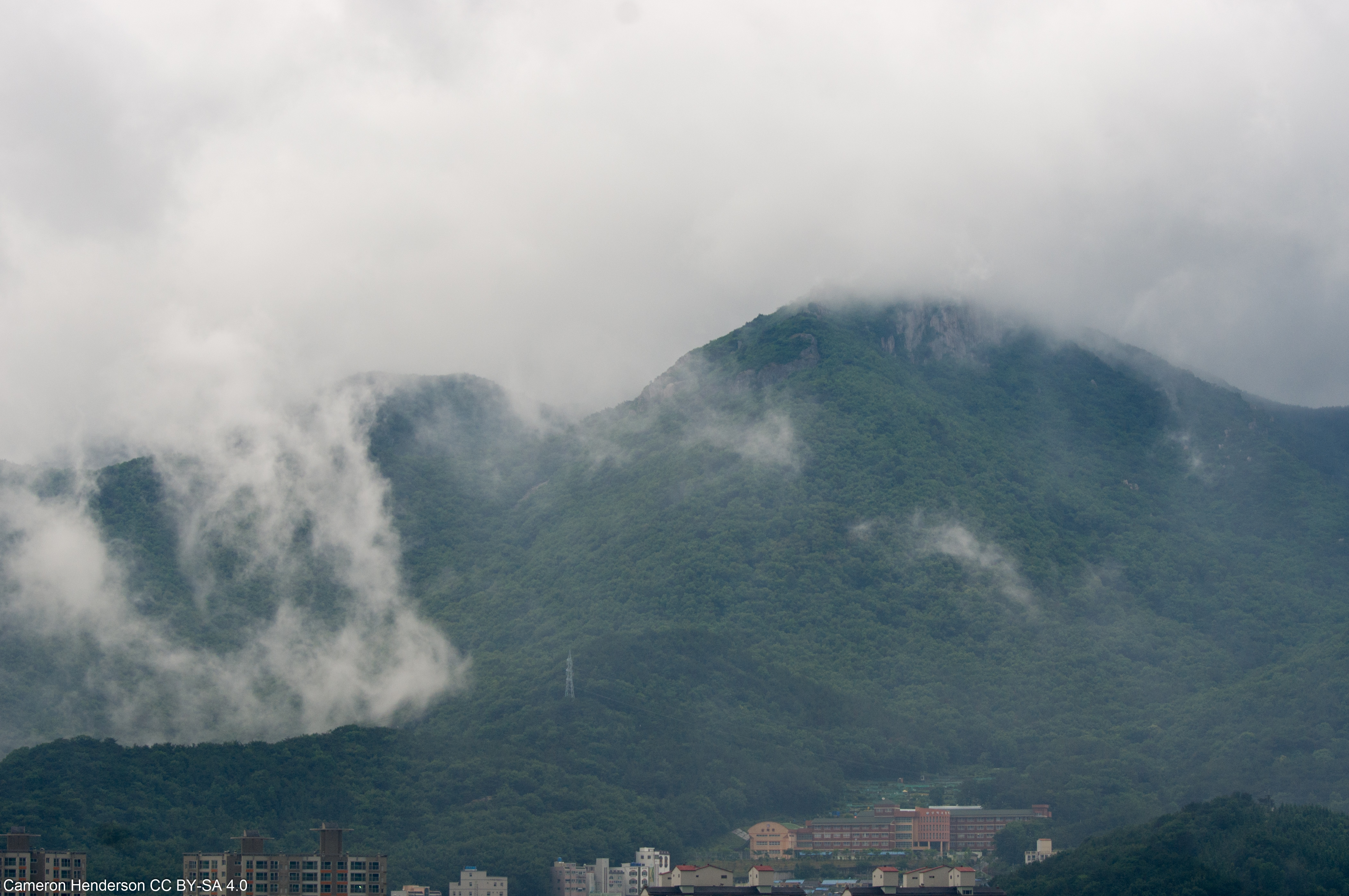
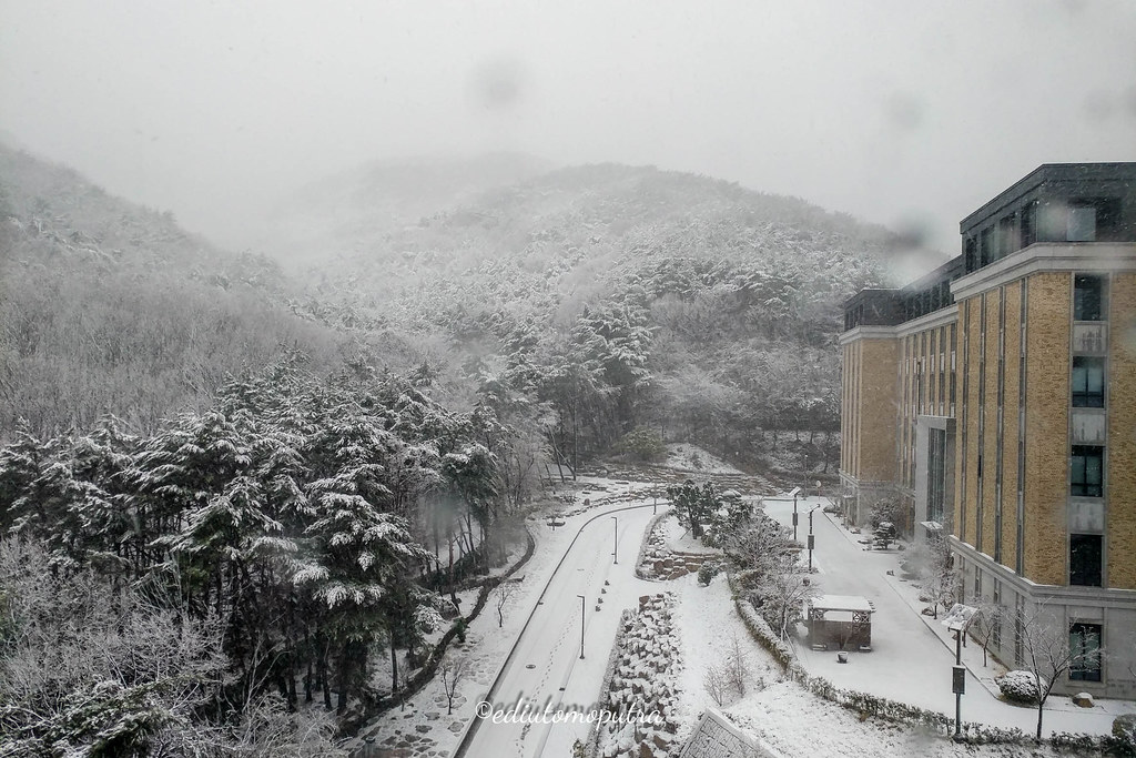
Seokbulsa Temple View IMGP3251_stitch

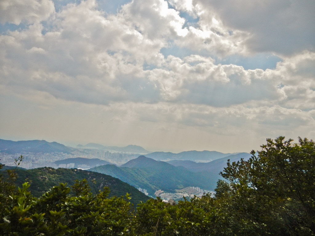
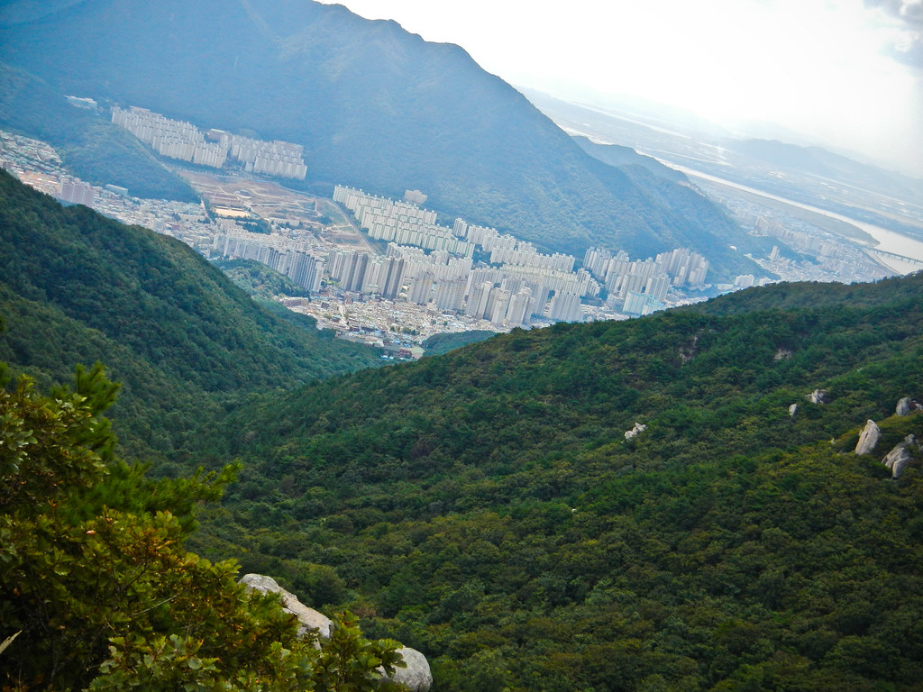
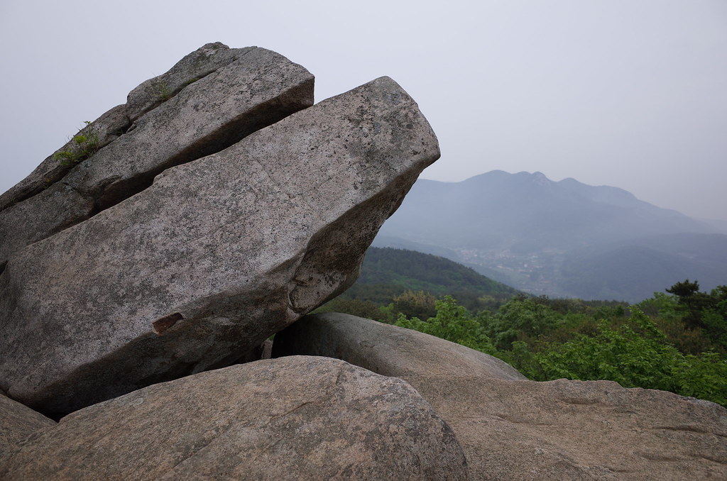
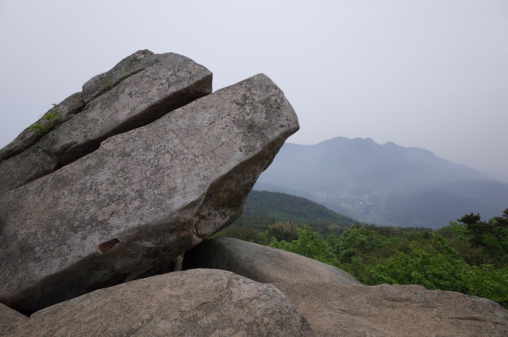
View from Geumjeong Mountain

20140407-PANO_20140407_170258-부산대학교-釜山大學校-Pusan National University

Admiring the view

Wide view of picnic on rocks

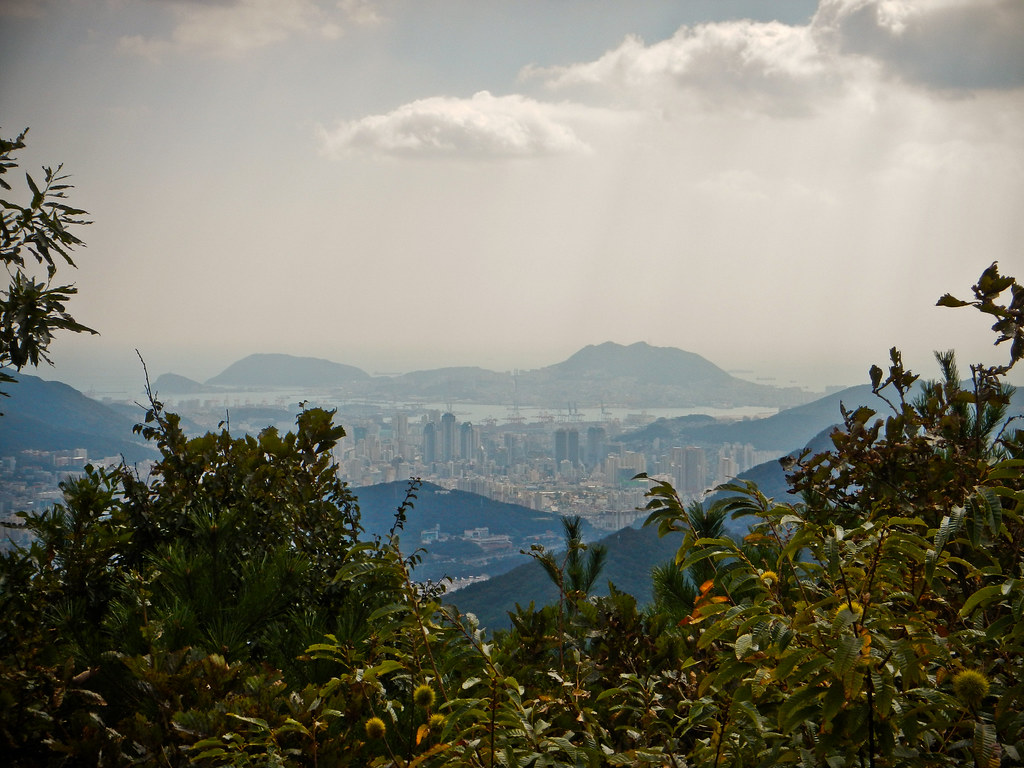
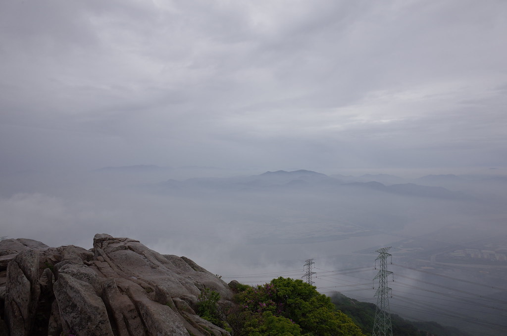
Smoggy Busan from Mt. Geumgang Panorama
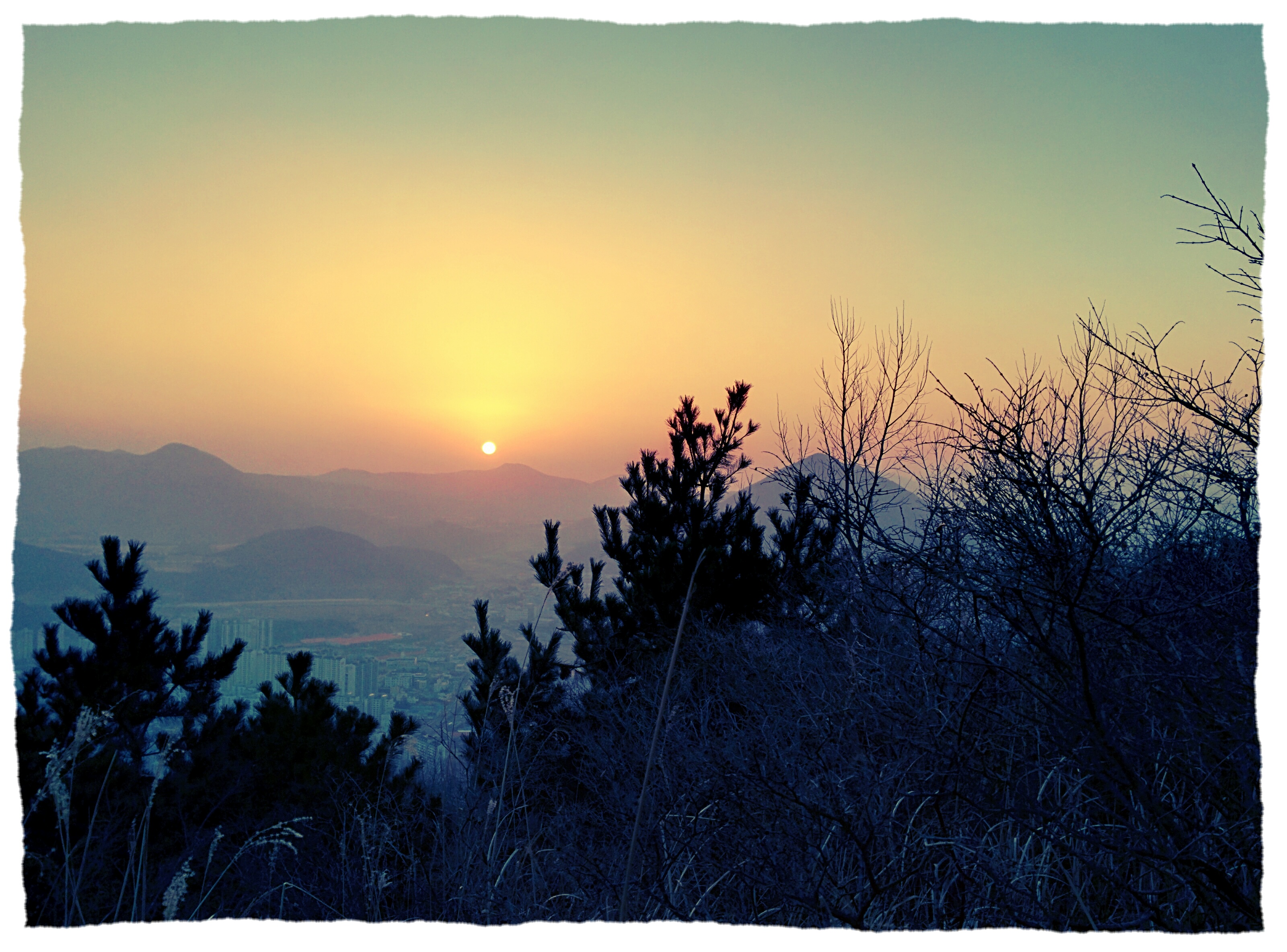
Hiking in Busan
Hiking in Busan
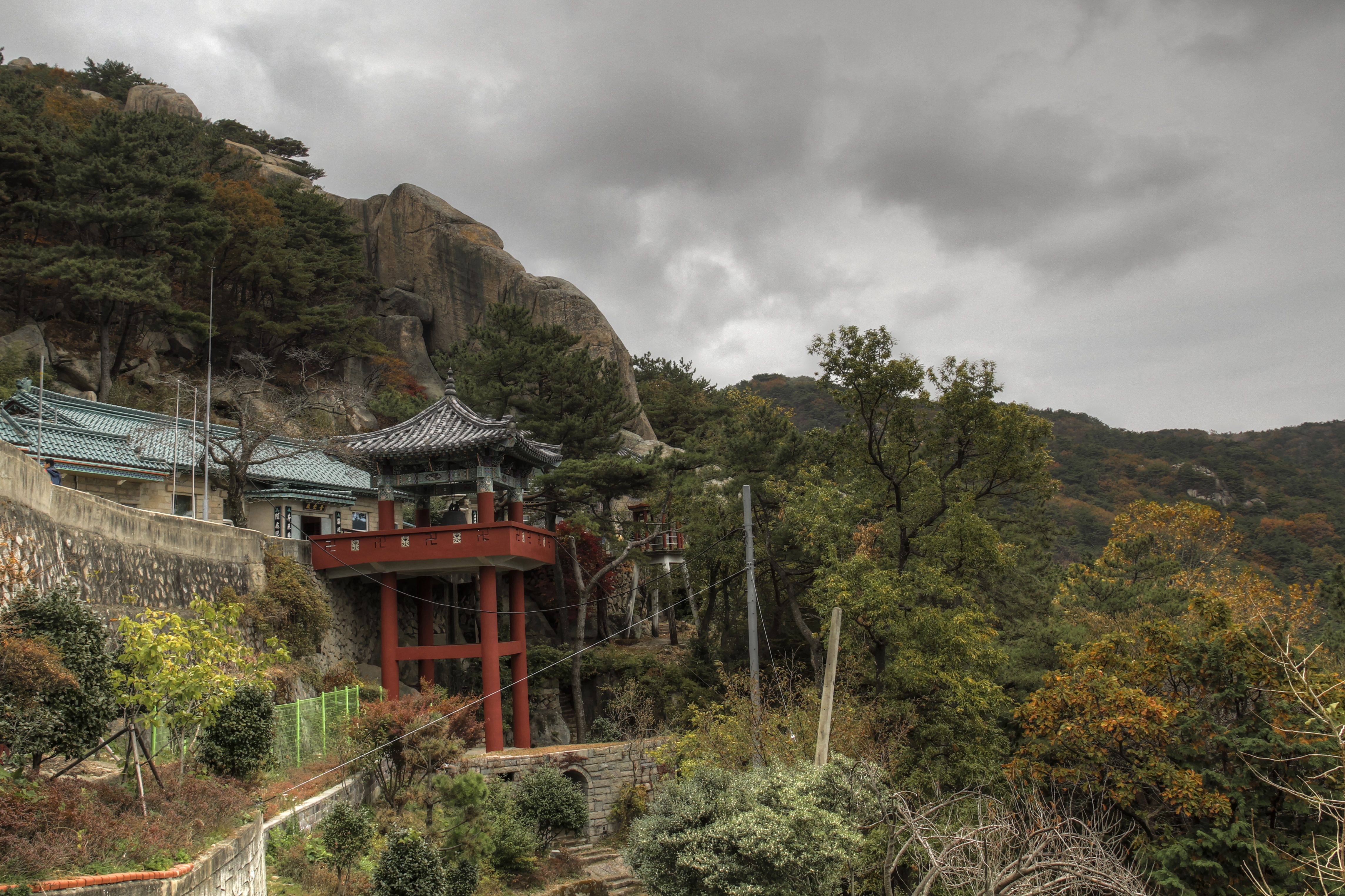
Seokbulsa (석불사) in Autumn
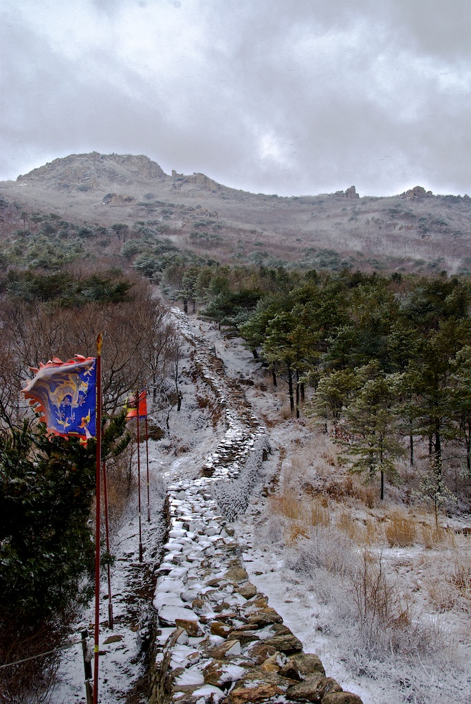
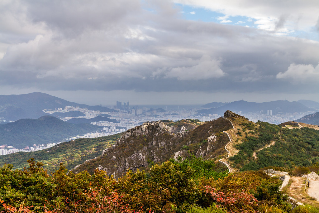
Geumjeong Fortress
IMGP0561-179
RI031501.JPG
Hiking in Busan
IMGP0451-141
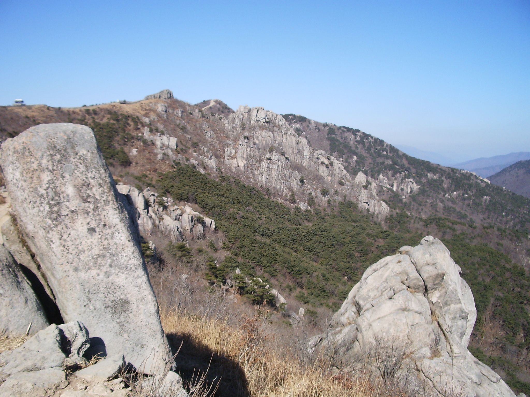
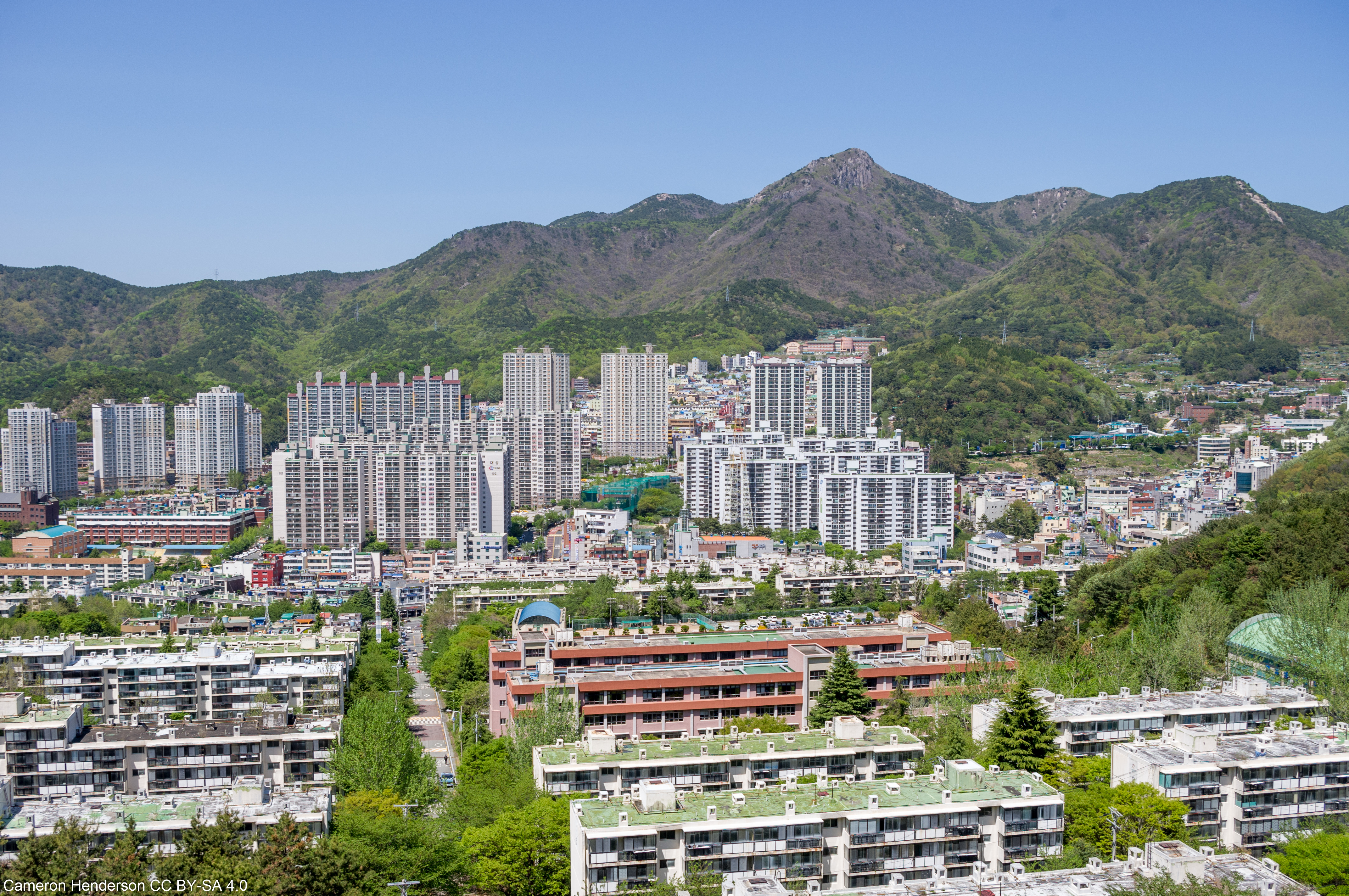
Mt. Geumjeong
Fortress Wall in Busan

Breaking Through

Hiking in Busan
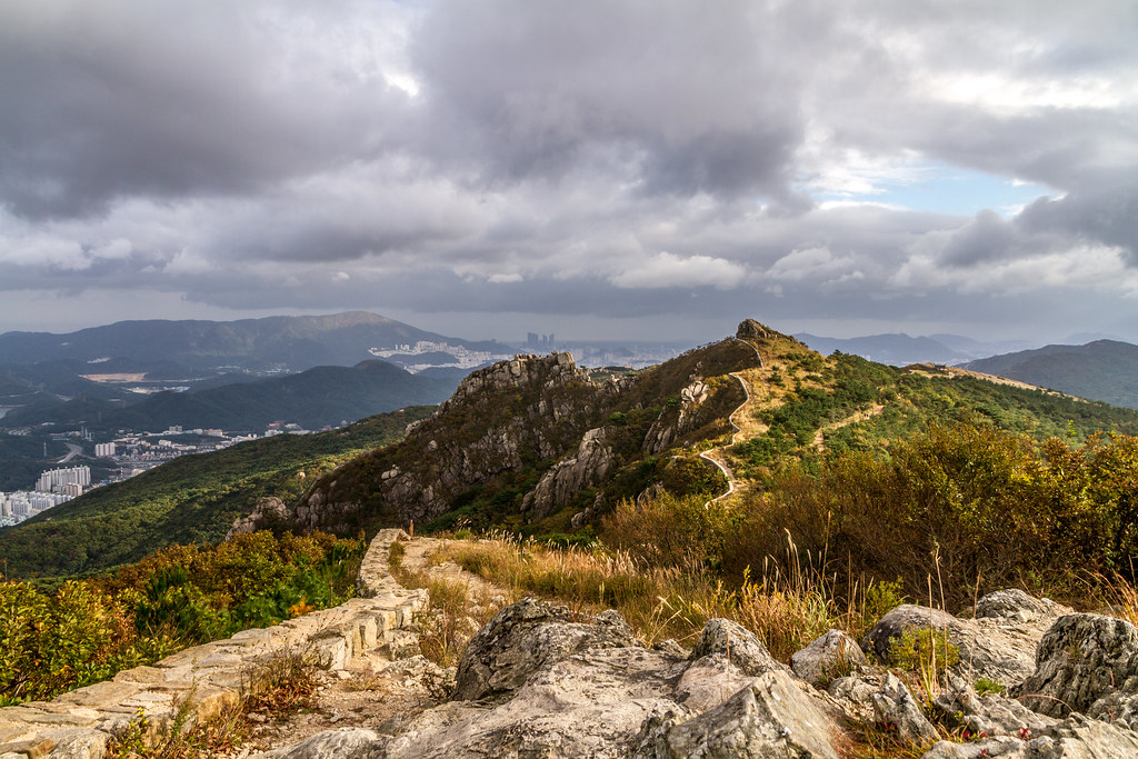
Fortress Wall in Busan
1월 1일 천성산
20180321_065053.jpg

P4010330 Pano Vagamundos 2012 Corea Busan Monte Godangbong

더위좀식히세요:D
RI031444.JPG
RI031443.JPG
Topographic Map of Yangsan-si, Gyeongsangnam-do, South Korea
Find elevation by address:

Places near Yangsan-si, Gyeongsangnam-do, South Korea:
Busan
Busan
Baegyangsan-ro
Seonamsa Temple Entrance
Haneul Park
Bosam-gil
Gimhae-si
Ulsan
Ulsan
Ulsan Airport (usn)
Masan
Gyeongju-si
Bongdeok 3(sam)-dong
Camp Walker
Icheon-dong
Camp Henry
Daegu
Daegu
Pohang-si
Secheon-ro 1-gil
Recent Searches:
- Elevation of 908, Northwood Drive, Bridge Field, Chesapeake, Virginia, 23322, USA
- Elevation map of Nagano Prefecture, Japan
- Elevation of 587, Bascule Drive, Oakdale, Stanislaus County, California, 95361, USA
- Elevation of Stadion Wankdorf, Sempachstrasse, Breitfeld, Bern, Bern-Mittelland administrative district, Bern, 3014, Switzerland
- Elevation of Z024, 76, Emil-von-Behring-Straße, Marbach, Marburg, Landkreis Marburg-Biedenkopf, Hesse, 35041, Germany
- Elevation of Gaskill Road, Hunts Cross, Liverpool, England, L24 9PH, United Kingdom
- Elevation of Speke, Liverpool, England, L24 9HD, United Kingdom
- Elevation of Seqirus, 475, Green Oaks Parkway, Holly Springs, Wake County, North Carolina, 27540, USA
- Elevation of Pasing, Munich, Bavaria, 81241, Germany
- Elevation of 24, Auburn Bay Crescent SE, Auburn Bay, Calgary, Alberta, T3M 0A6, Canada
- Elevation of Denver, 2314, Arapahoe Street, Five Points, Denver, Colorado, 80205, USA
- Elevation of Community of the Beatitudes, 2924, West 43rd Avenue, Sunnyside, Denver, Colorado, 80211, USA
- Elevation map of Litang County, Sichuan, China
- Elevation map of Madoi County, Qinghai, China
- Elevation of 3314, Ohio State Route 114, Payne, Paulding County, Ohio, 45880, USA
- Elevation of Sarahills Drive, Saratoga, Santa Clara County, California, 95070, USA
- Elevation of Town of Bombay, Franklin County, New York, USA
- Elevation of 9, Convent Lane, Center Moriches, Suffolk County, New York, 11934, USA
- Elevation of Saint Angelas Convent, 9, Convent Lane, Center Moriches, Suffolk County, New York, 11934, USA
- Elevation of 131st Street Southwest, Mukilteo, Snohomish County, Washington, 98275, USA