Elevation of Jersey, AR, USA
Location: United States > Arkansas > Bradley County > Sumpter Township >
Longitude: -92.314312
Latitude: 33.4284495
Elevation: 50m / 164feet
Barometric Pressure: 101KPa
Elevation Map:
Satellite Map:
Related Photos:
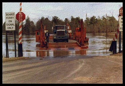
Moro Bay Ferry
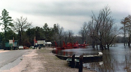
Moro Bay Ferry
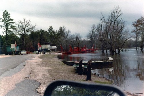
Have a Good Weekend
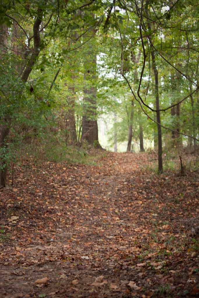
a short walk
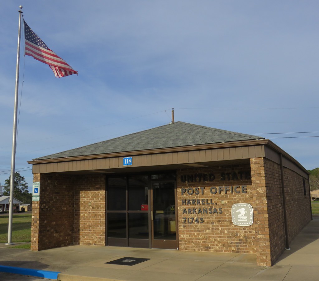
Post Office 71745 (Harrel, Arkansas)
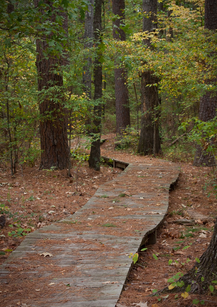
i'll walk with you
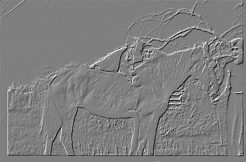
Etched in Memory

AMC Javlin
Topographic Map of Jersey, AR, USA
Find elevation by address:

Places in Jersey, AR, USA:
Places near Jersey, AR, USA:
AR-, Jersey, AR, USA
Sumpter Township
Township 4
Bradley County
River Township
Calhoun 40, Hampton, AR, USA
W 4th St, Hermitage, AR, USA
Sand Slough
Hampton
579 Archer
Township 8
Clifton Ivy Rd, Hermitage, AR, USA
Calhoun County
Calion
W Main Calion, El Dorado, AR, USA
Palestine Township
224 Bradley Rd 226
224 Bradley Rd 226
Franklin Township
Lawson Rd, El Dorado, AR, USA
Recent Searches:
- Elevation of Corso Fratelli Cairoli, 35, Macerata MC, Italy
- Elevation of Tallevast Rd, Sarasota, FL, USA
- Elevation of 4th St E, Sonoma, CA, USA
- Elevation of Black Hollow Rd, Pennsdale, PA, USA
- Elevation of Oakland Ave, Williamsport, PA, USA
- Elevation of Pedrógão Grande, Portugal
- Elevation of Klee Dr, Martinsburg, WV, USA
- Elevation of Via Roma, Pieranica CR, Italy
- Elevation of Tavkvetili Mountain, Georgia
- Elevation of Hartfords Bluff Cir, Mt Pleasant, SC, USA