Elevation of W Main Calion, El Dorado, AR, USA
Location: United States > Arkansas > Union County > Franklin Township > Calion >
Longitude: -92.540349
Latitude: 33.3286864
Elevation: 31m / 102feet
Barometric Pressure: 101KPa
Elevation Map:
Satellite Map:
Related Photos:
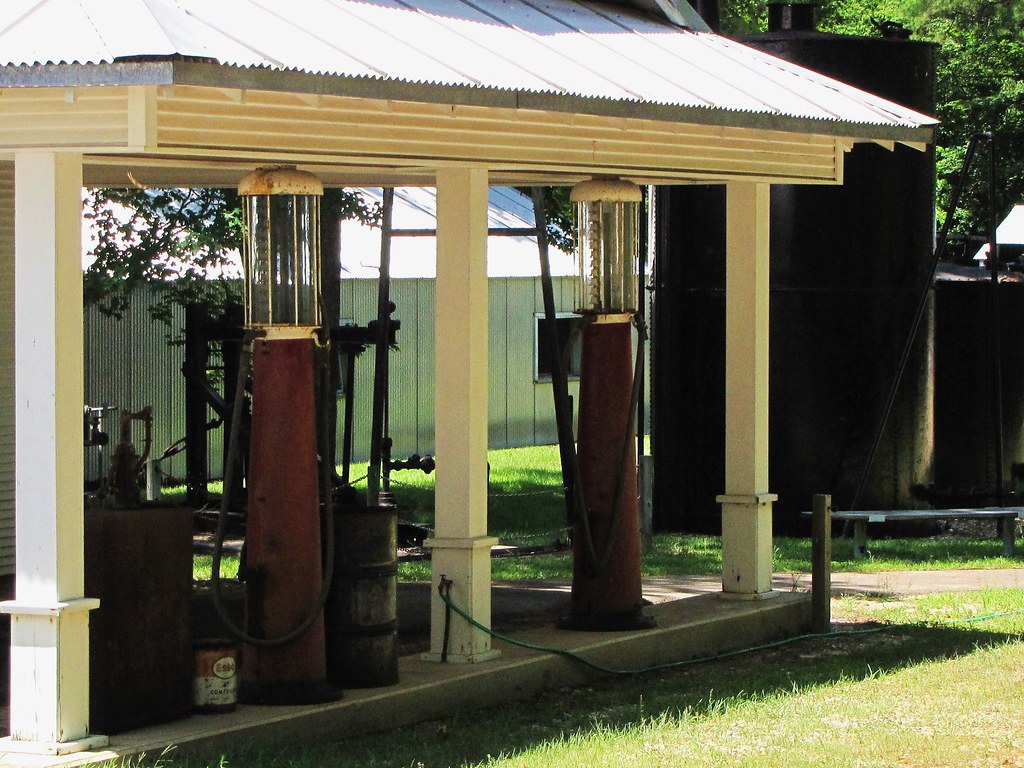
IMG_1736
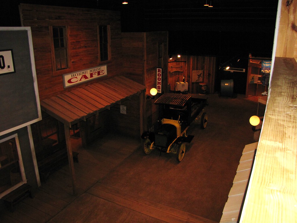
IMG_1751
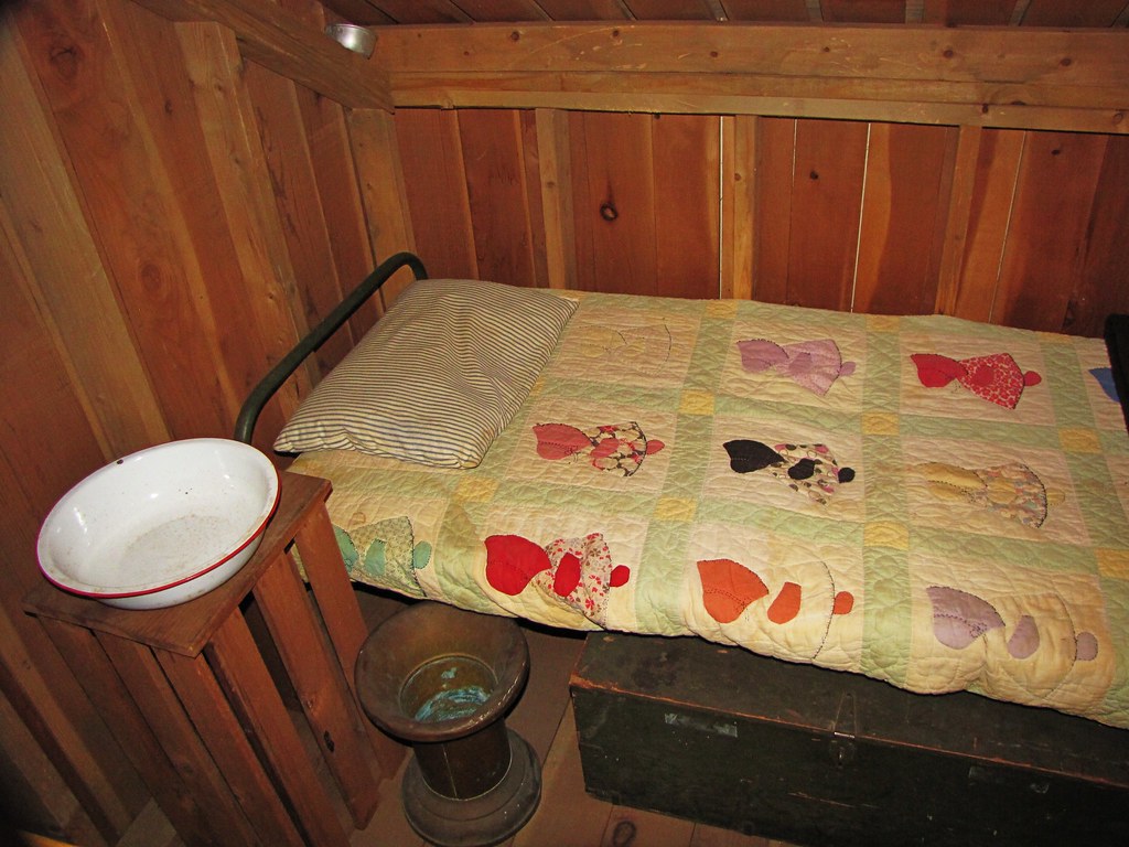
IMG_1747
IMG_1754

IMG_1739
IMG_1752
IMG_1735
IMG_1742

IMG_1757
IMG_1756

IMG_1750

IMG_1738
IMG_1734
IMG_1762
IMG_1758
Topographic Map of W Main Calion, El Dorado, AR, USA
Find elevation by address:

Places near W Main Calion, El Dorado, AR, USA:
Calion
Franklin Township
Norphlet Township
Moro Bay Hwy, El Dorado, AR, USA
4687 Moro Bay Hwy
Norphlet
4243 Calion Hwy
Main, Norphlet, AR, USA
177 Warren Dr
177 Warren Dr
649 Grady Bell Rd
Nick Springs Rd, El Dorado, AR, USA
Welsco Rd, Smackover, AR, USA
900 N Madison Ave
1802 Lorene St
Calhoun County
El Dorado
2103 Marilynn St
824 Robert E Lee St
Union County
Recent Searches:
- Elevation of Corso Fratelli Cairoli, 35, Macerata MC, Italy
- Elevation of Tallevast Rd, Sarasota, FL, USA
- Elevation of 4th St E, Sonoma, CA, USA
- Elevation of Black Hollow Rd, Pennsdale, PA, USA
- Elevation of Oakland Ave, Williamsport, PA, USA
- Elevation of Pedrógão Grande, Portugal
- Elevation of Klee Dr, Martinsburg, WV, USA
- Elevation of Via Roma, Pieranica CR, Italy
- Elevation of Tavkvetili Mountain, Georgia
- Elevation of Hartfords Bluff Cir, Mt Pleasant, SC, USA