Elevation of Jenny Lind Rd, Sonora, CA, USA
Location: United States > California > Tuolumne County > Sonora >
Longitude: -120.34159
Latitude: 38.0404035
Elevation: 1013m / 3323feet
Barometric Pressure: 90KPa
Elevation Map:
Satellite Map:
Related Photos:

Sierra #3 engine

murphys grammar school

Deadman Gulch

Bontrager Livestrong race preparation

RV in Jamestowm

Sierra Railway Roundhouse (Panorama)

The shops from the south

View along the trackbed

View along the trackbed

View along the trackbed

View along the trackbed
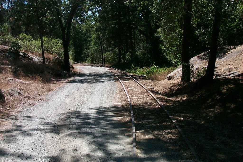
View along the trackbed

Sanding tower
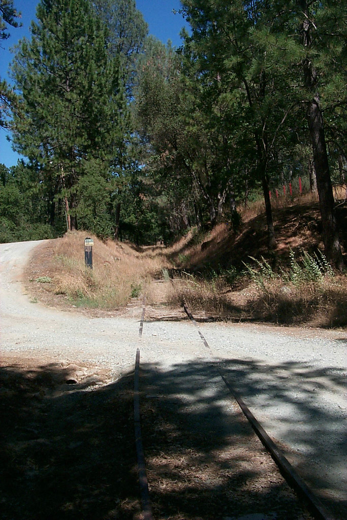
View along the trackbed

Floor of the car shop
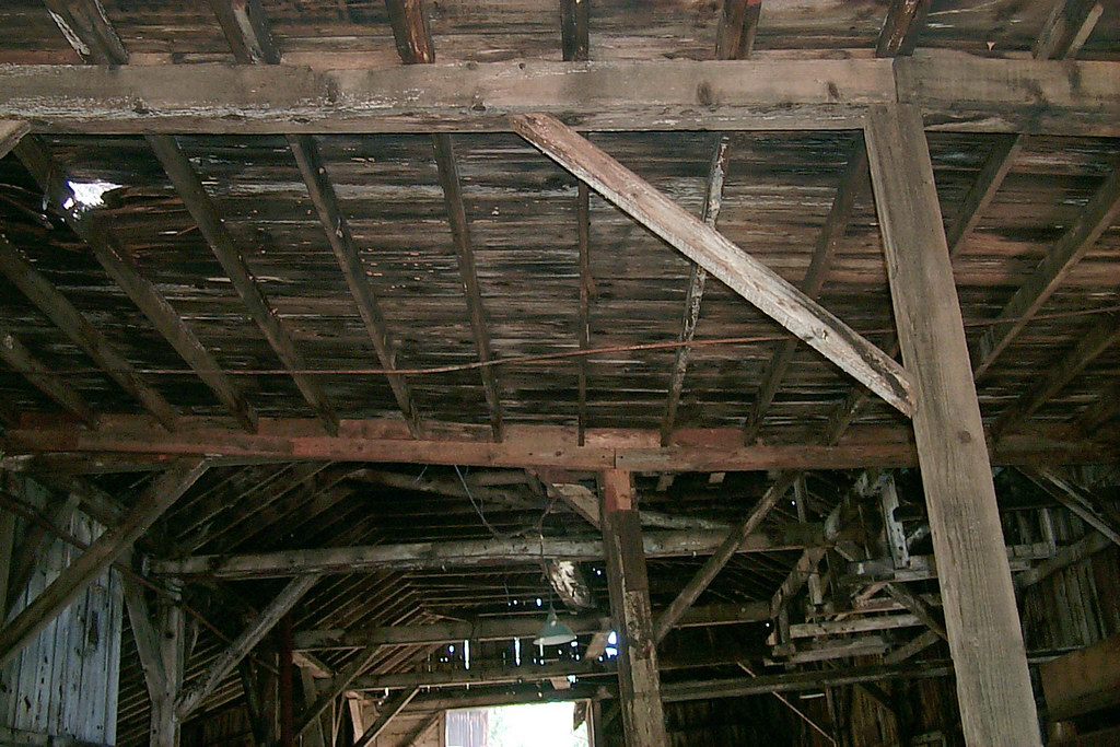
Underside of the shed roof

Occupational Olympics: Patterns In Architecture And Nature
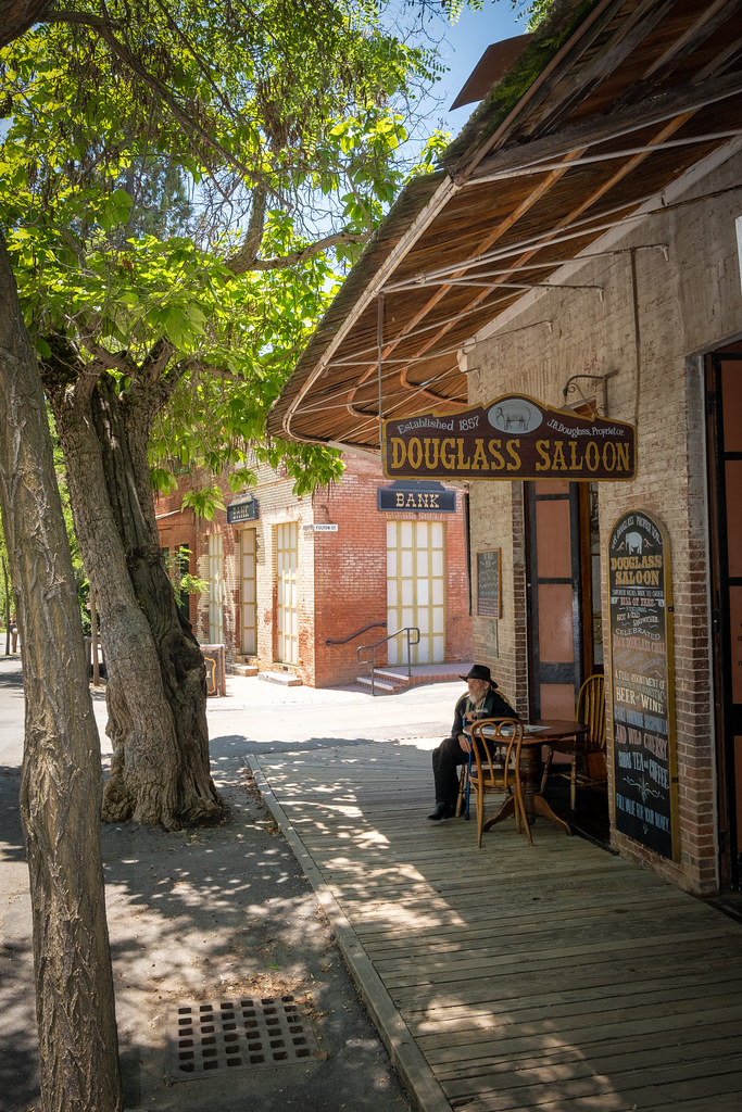
The Douglass Saloon

From inside the mouth of the downstream entrance to the Natural Bridge of Calaveras County, CA - natural27

Sierra Railroad Map of the Mother Lode Region of California

Maharaja Class Pebble Beach 2012

California, New Melones Lake

In the Foothills

New Melones Near the Parrots Ferry Bridge

"Those Purple Trees [B&W Edition]" (09/2016) It's getting darker by the day, so I can't see the forest for the trees. See my color edit here: @JimHubel. Nikon D5200/Photoshop.
Columbia, California
Ominous morning.

Woods Crossing, Tuolumne County, California

Woods Crossing, Tuolumne County, California
IMG_0238-a4

Woods Crossing, Tuolumne County, California

Last man standing

New Melones Lake

California hasn't had rain in a while and before that it@was a while too. All the reservoirs are below 50% full, old list archeological sites are being revealed: the governor declared a state of emergency complete with rationing and fines and neighbours r

Upstream entrance to the Natural Bridge of Calaveras County, CA - natural31

New Melones Lake

Stanislaus River 4

Stanislaus River and Bathtub Ring

Rapid above Rose Creek

Stanislaus River 12

Stanislaus River 6
Topographic Map of Jenny Lind Rd, Sonora, CA, USA
Find elevation by address:

Places near Jenny Lind Rd, Sonora, CA, USA:
22500 Woodview Ct
Dondero Road
13269 Lower Shale Rock Rd
13269 Lower Shale Rock Rd
13269 Lower Shale Rock Rd
Big Hill Road
22840 4 Wheel Dr
Foothill Horizons
12471 Yankee Hill Rd
Apple Hill Dr, Sonora, CA, USA
21276 Apple Valley Dr
Lyons Bald Mountain Road
21880 Montgomery Rd
14995 Morningside Dr
15030 Morningside Dr
22235 Sawmill Flat Rd
13990 Stanton Cir
13959 Stanton Cir
13959 Stanton Cir
21771 El Lobo Center
Recent Searches:
- Elevation of Corso Fratelli Cairoli, 35, Macerata MC, Italy
- Elevation of Tallevast Rd, Sarasota, FL, USA
- Elevation of 4th St E, Sonoma, CA, USA
- Elevation of Black Hollow Rd, Pennsdale, PA, USA
- Elevation of Oakland Ave, Williamsport, PA, USA
- Elevation of Pedrógão Grande, Portugal
- Elevation of Klee Dr, Martinsburg, WV, USA
- Elevation of Via Roma, Pieranica CR, Italy
- Elevation of Tavkvetili Mountain, Georgia
- Elevation of Hartfords Bluff Cir, Mt Pleasant, SC, USA