Elevation of Jefferson Ave, Lehigh Acres, FL, USA
Location: United States > Florida > Lee County > Lehigh Acres > Joel >
Longitude: -81.594812
Latitude: 26.6274744
Elevation: -10000m / -32808feet
Barometric Pressure: 295KPa
Elevation Map:
Satellite Map:
Related Photos:

A view from above. I used a GoPro Hero 3+ Black Edition a HQ Invento 2 Meter Delta with 1000 ft. 150 Lbs. Kevlar line.

I am going to miss this view. #Palms #Florida #Sun

The Caloosahatchee from the Alva Bridge

Blue-winged Teals

Belter Kingfisher

American Bittern

Clouds at Sunrise

White Peacock (Anartia jatrophae)

Caloosahatchee River
Caloosahatchee Regional Park

Common Moorhen

Douglas DC-3s N834M & N211GB & C-117 N851M

Caloosahatchee River

Savannah Sparrow

Palm Warbler
Practice makes perfect

Camera Roll-153

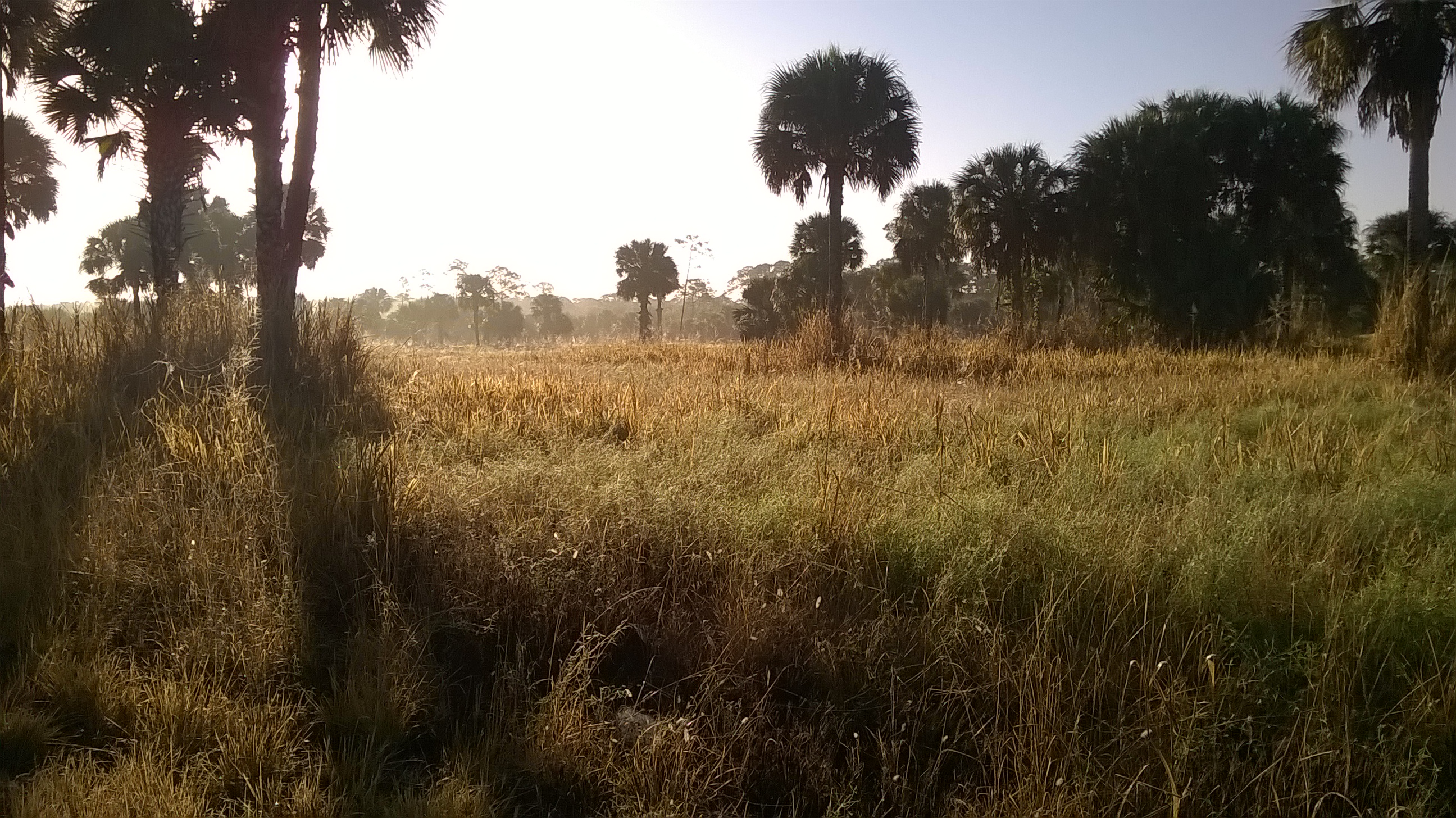
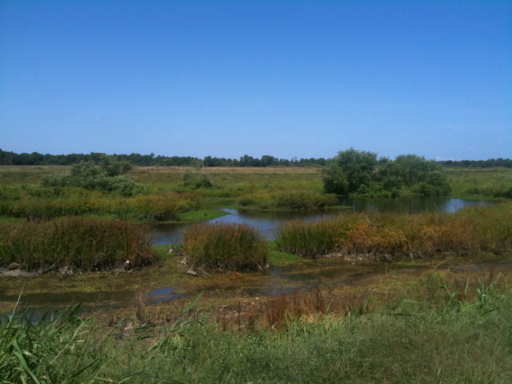
Harns Marsh

Harns Marsh Cypress Dome

Harns Marsh

Camera Roll-152

Camera Roll-131
Camera Roll-161

Caloosahatchee Regional Park

Camera Roll-157

Florida,Alva, Riverfront Home
Topographic Map of Jefferson Ave, Lehigh Acres, FL, USA
Find elevation by address:

Places near Jefferson Ave, Lehigh Acres, FL, USA:
2703 E 8th St
523 Jackson Ave
2310 East 5th Street
516 Canton Ave
2310 Orange St
822 Wellington Ave
3300 East 5th Street
818 Julio Cir
Joel Boulevard
1207 East 3rd Street
1207 East 3rd Street
3002 East 13th Street
417 Moore Ave
1203 E 3rd St
704 E 6th St
305 Maycrest Rd
1464 Archer St
Joel
243 Thistle Ct
934 Asther St E
Recent Searches:
- Elevation of Corso Fratelli Cairoli, 35, Macerata MC, Italy
- Elevation of Tallevast Rd, Sarasota, FL, USA
- Elevation of 4th St E, Sonoma, CA, USA
- Elevation of Black Hollow Rd, Pennsdale, PA, USA
- Elevation of Oakland Ave, Williamsport, PA, USA
- Elevation of Pedrógão Grande, Portugal
- Elevation of Klee Dr, Martinsburg, WV, USA
- Elevation of Via Roma, Pieranica CR, Italy
- Elevation of Tavkvetili Mountain, Georgia
- Elevation of Hartfords Bluff Cir, Mt Pleasant, SC, USA