Elevation of East 5th Street, Lehigh Acres, FL, USA
Location: United States > Florida > Lee County > Lehigh Acres > Joel >
Longitude: -81.597489
Latitude: 26.6178716
Elevation: -10000m / -32808feet
Barometric Pressure: 295KPa
Elevation Map:
Satellite Map:
Related Photos:

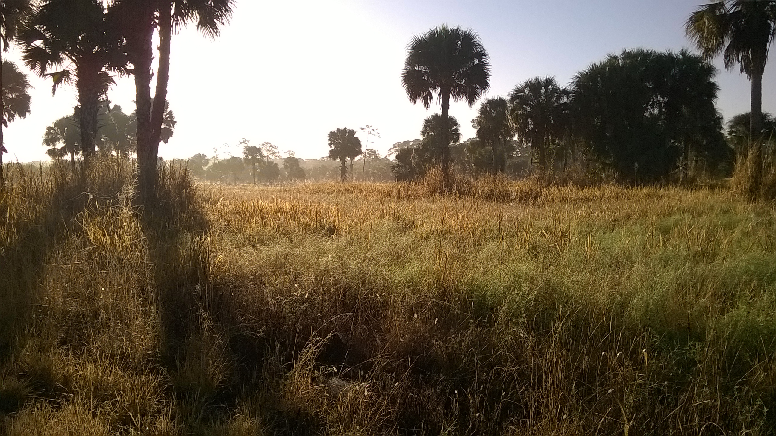
I am going to miss this view. #Palms #Florida #Sun

The Caloosahatchee from the Alva Bridge

Blue-winged Teals

Belter Kingfisher

A view from above. I used a GoPro Hero 3+ Black Edition a HQ Invento 2 Meter Delta with 1000 ft. 150 Lbs. Kevlar line.

American Bittern

Clouds at Sunrise

White Peacock (Anartia jatrophae)

Caloosahatchee River
Caloosahatchee Regional Park

Common Moorhen

Douglas DC-3s N834M & N211GB & C-117 N851M

Caloosahatchee River

Savannah Sparrow

Palm Warbler
Practice makes perfect

Camera Roll-153

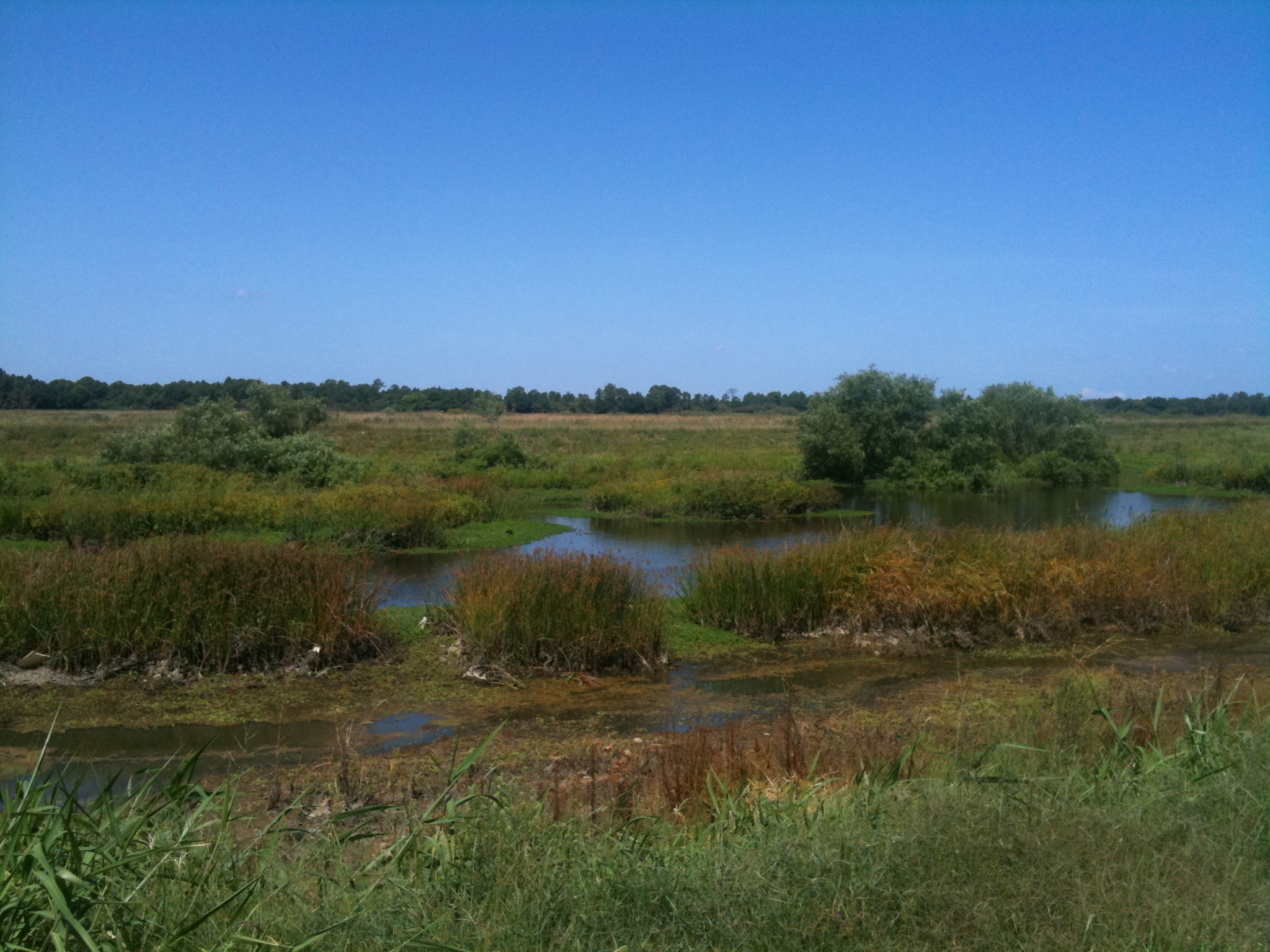
Harns Marsh

Harns Marsh Cypress Dome

Harns Marsh

Camera Roll-152

Camera Roll-131

White Peacock Butterfly
Camera Roll-161

trail into corkscrew swamp sanctuary

Caloosahatchee Regional Park
Topographic Map of East 5th Street, Lehigh Acres, FL, USA
Find elevation by address:

Places near East 5th Street, Lehigh Acres, FL, USA:
2310 Orange St
1207 East 3rd Street
1207 East 3rd Street
523 Jackson Ave
715 Jefferson Ave
516 Canton Ave
2703 E 8th St
3300 East 5th Street
1464 Archer St
1203 E 3rd St
818 Julio Cir
305 Maycrest Rd
934 Asther St E
243 Thistle Ct
215 Maple Ave N
822 Wellington Ave
704 E 6th St
200 Lake Ave
417 Moore Ave
128 Oxbow Beckley Ave
Recent Searches:
- Elevation of Corso Fratelli Cairoli, 35, Macerata MC, Italy
- Elevation of Tallevast Rd, Sarasota, FL, USA
- Elevation of 4th St E, Sonoma, CA, USA
- Elevation of Black Hollow Rd, Pennsdale, PA, USA
- Elevation of Oakland Ave, Williamsport, PA, USA
- Elevation of Pedrógão Grande, Portugal
- Elevation of Klee Dr, Martinsburg, WV, USA
- Elevation of Via Roma, Pieranica CR, Italy
- Elevation of Tavkvetili Mountain, Georgia
- Elevation of Hartfords Bluff Cir, Mt Pleasant, SC, USA