Elevation of Jeb Stuart Rd, Campo, CA, USA
Location: United States > California > San Diego County > Campo >
Longitude: -116.47008
Latitude: 32.6075846
Elevation: 787m / 2582feet
Barometric Pressure: 92KPa
Elevation Map:
Satellite Map:
Related Photos:
Desert View Tower
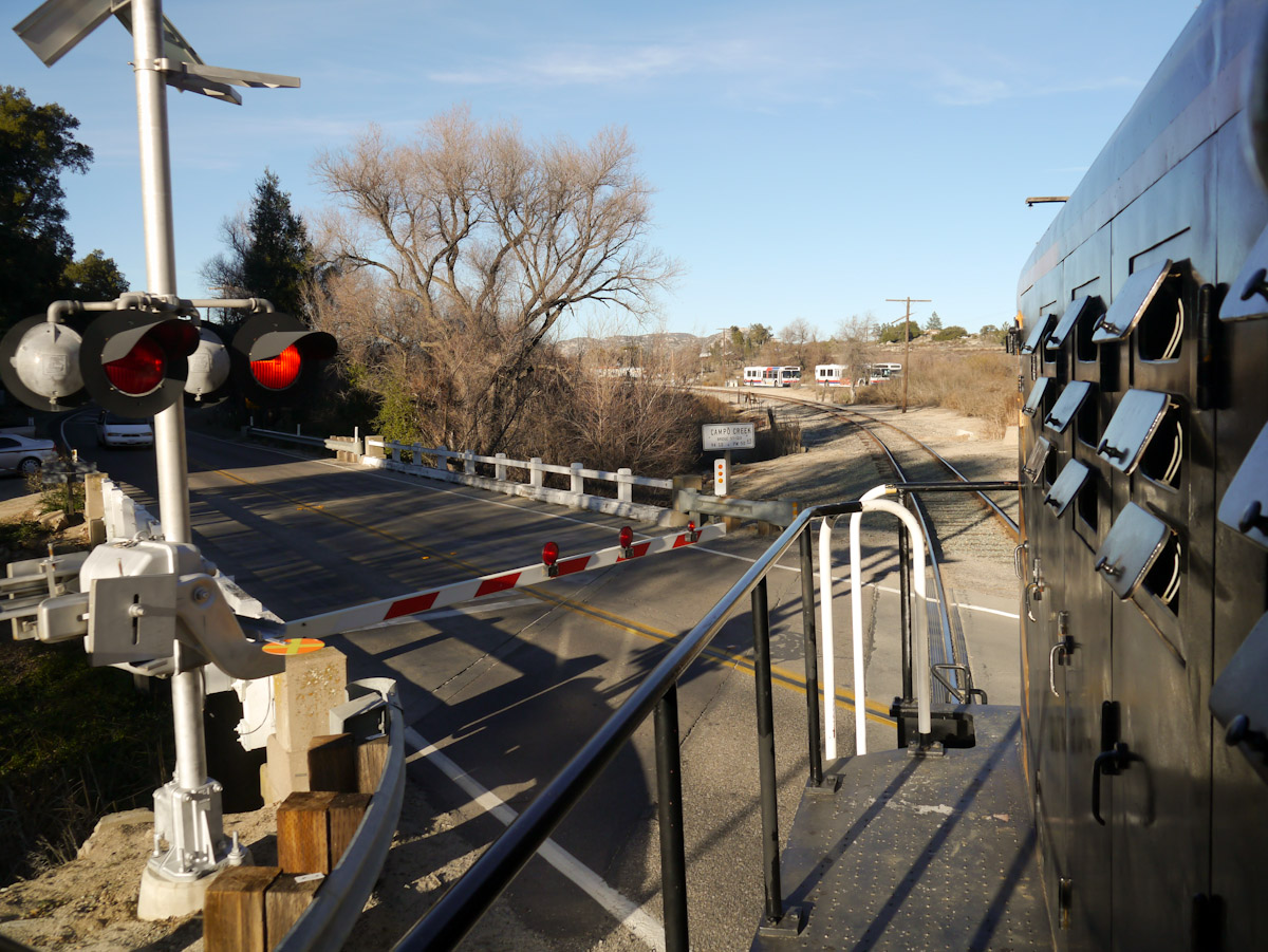
Campo Road Crossing
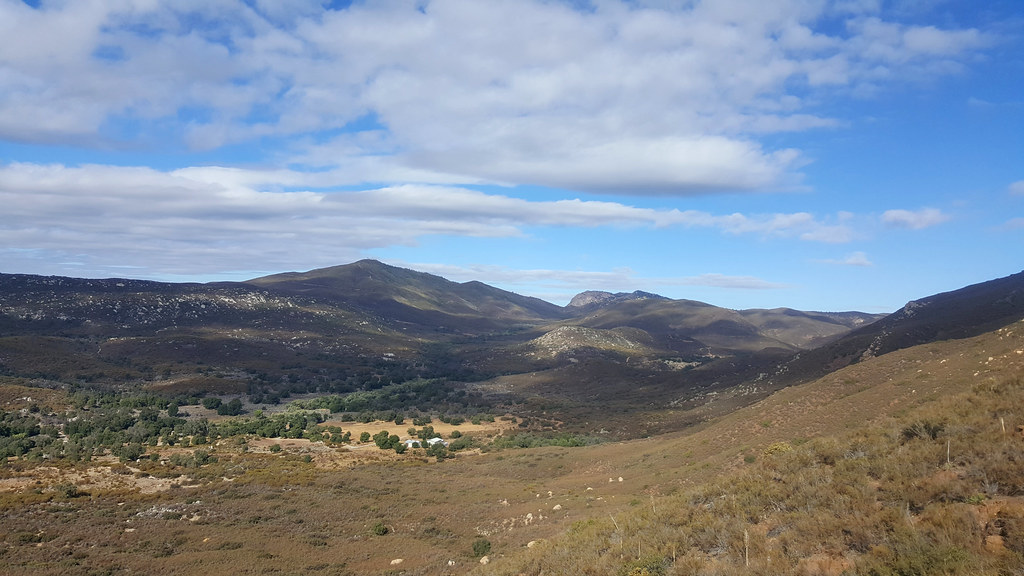
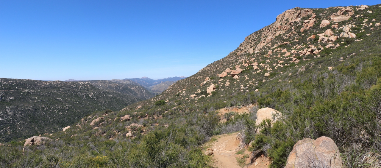
Hike View
439 Zoomed-in view looking north toward Los Pinos Mountain and Corte Madera Mountain from the PCT
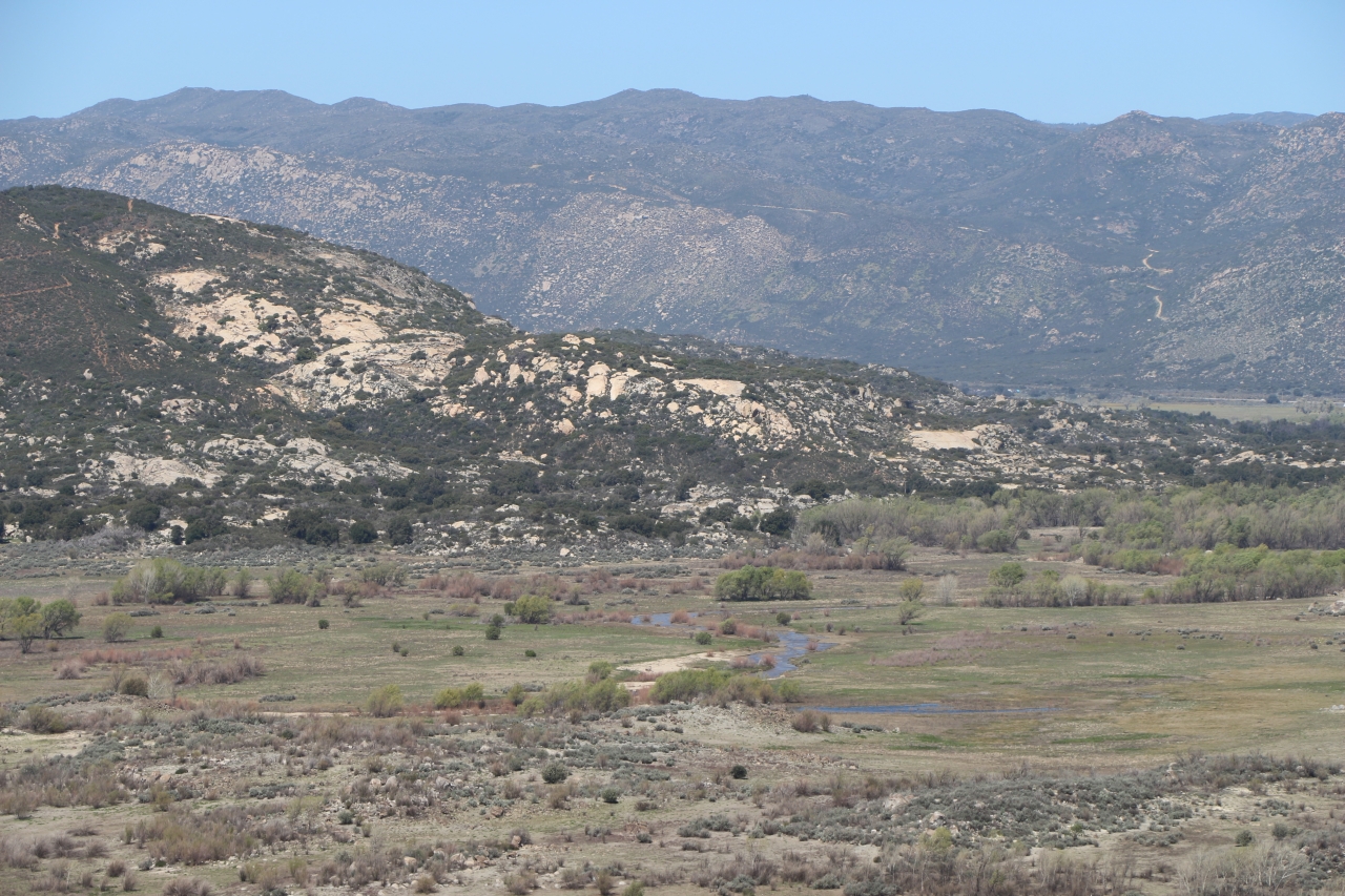
283 Zoomed-in view looking north of Cottonwood Creek as it drains into Lake Morena
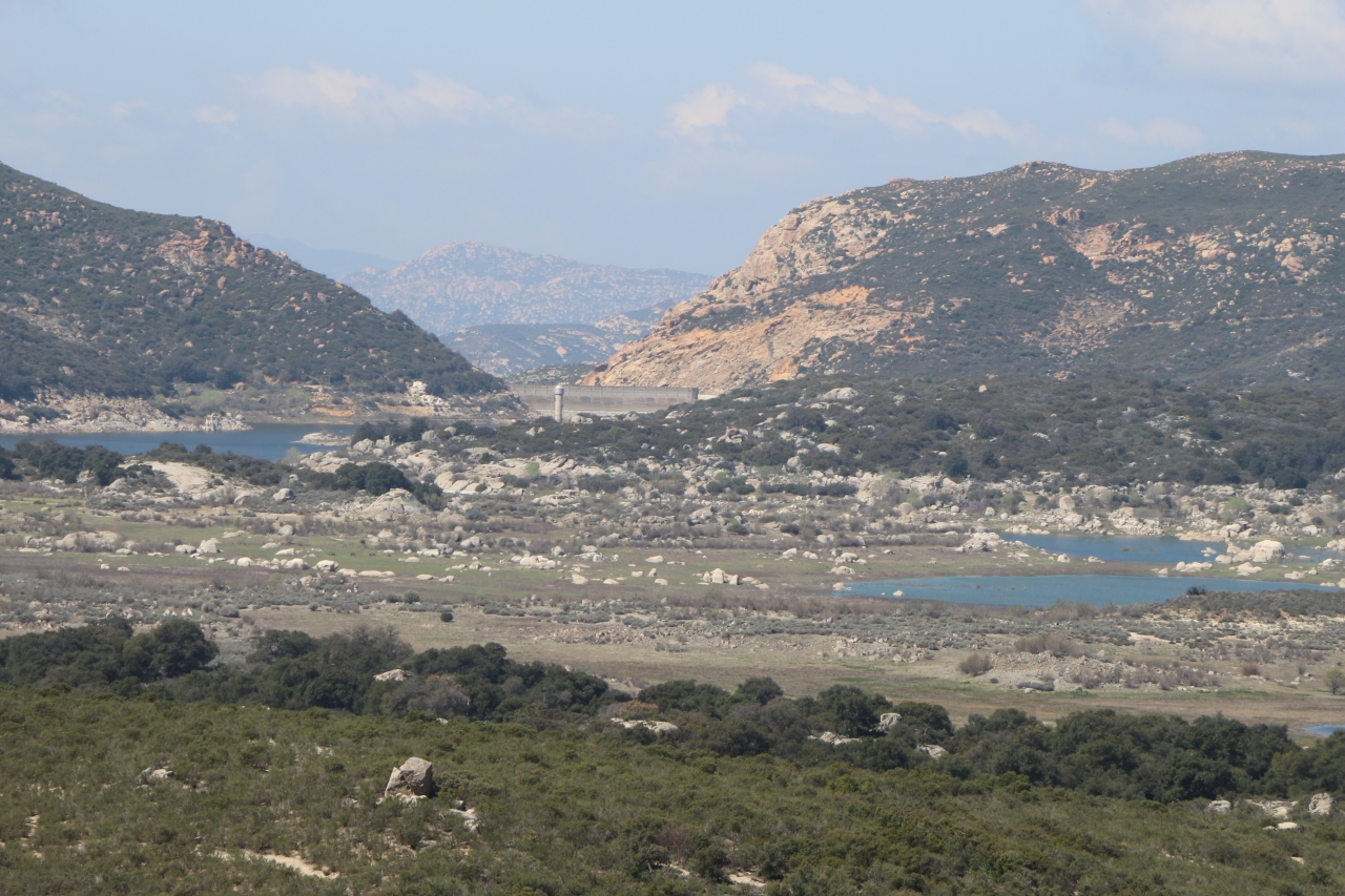
428 Zoomed-in view of the Lake Morena Dam
419 Panorama view east of the mountains toward In-ko-pah from the PCT near mile 22
235 Our first view of Lake Morena, with Cuyamaca and Long Valley Peaks in the distance
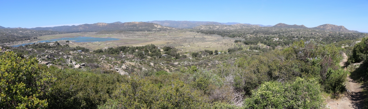
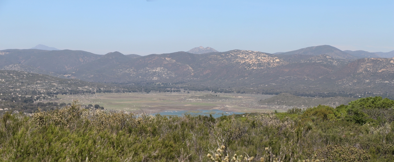
284 Panorama view looking north toward the Laguna Mountains across the Morena Valley from the PCT
View from the porch
view upon waking
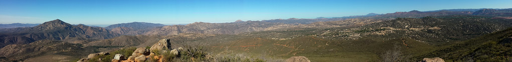
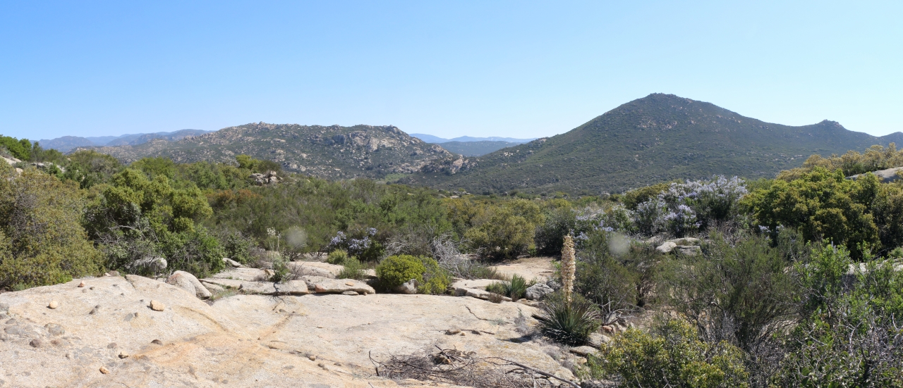
Potrero Peak Summit Pano

Gold Digger
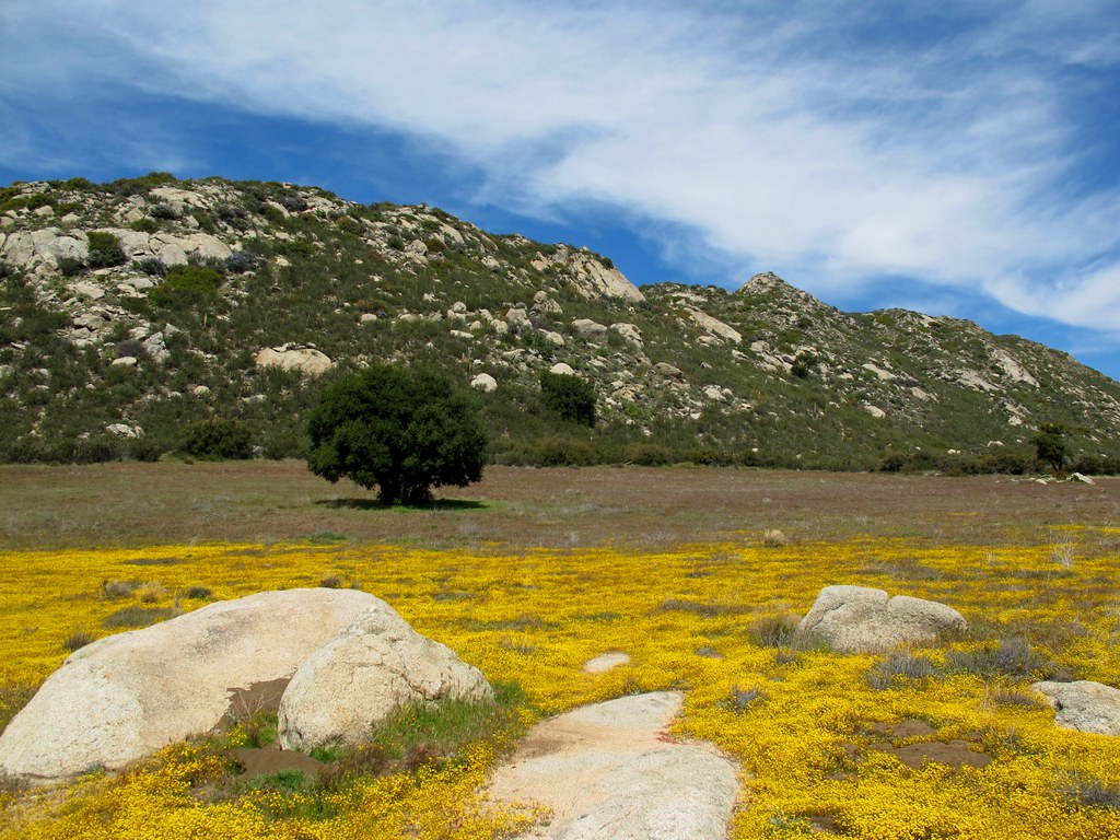
Goldie Rocks

Full Falls 1
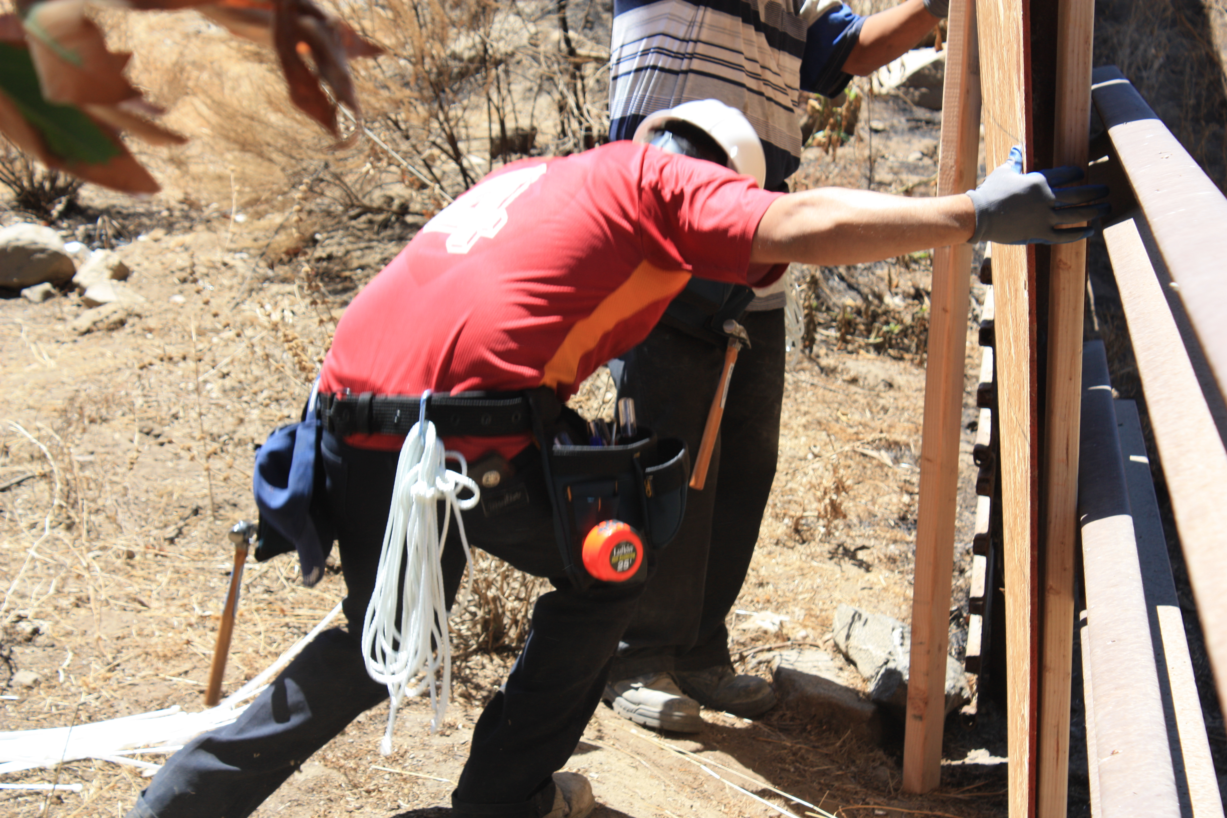
US Border Fence Repair
View from the front door
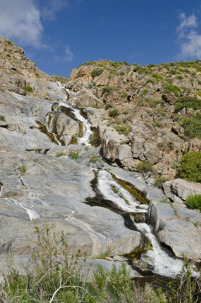
Kitchen Creek Falls
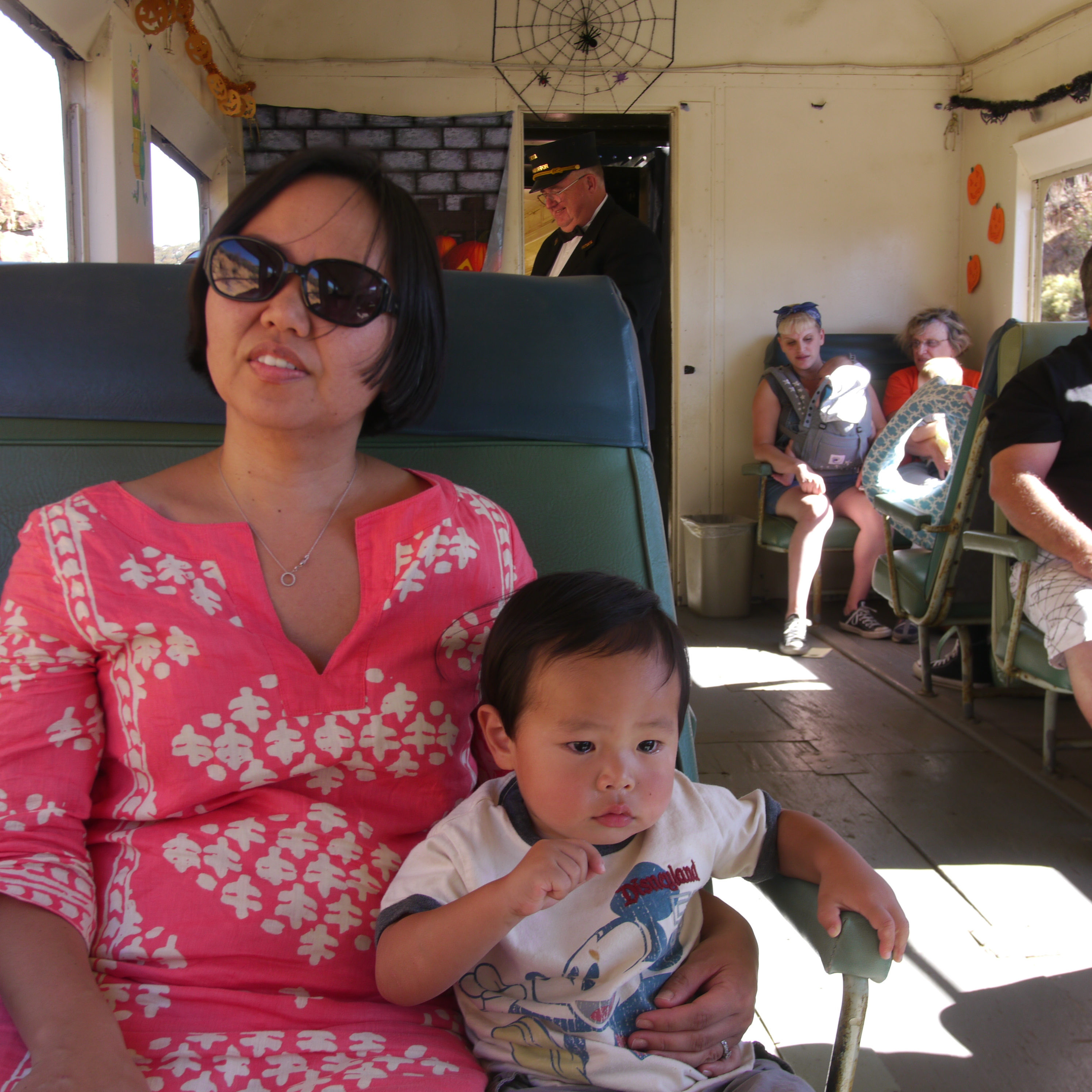
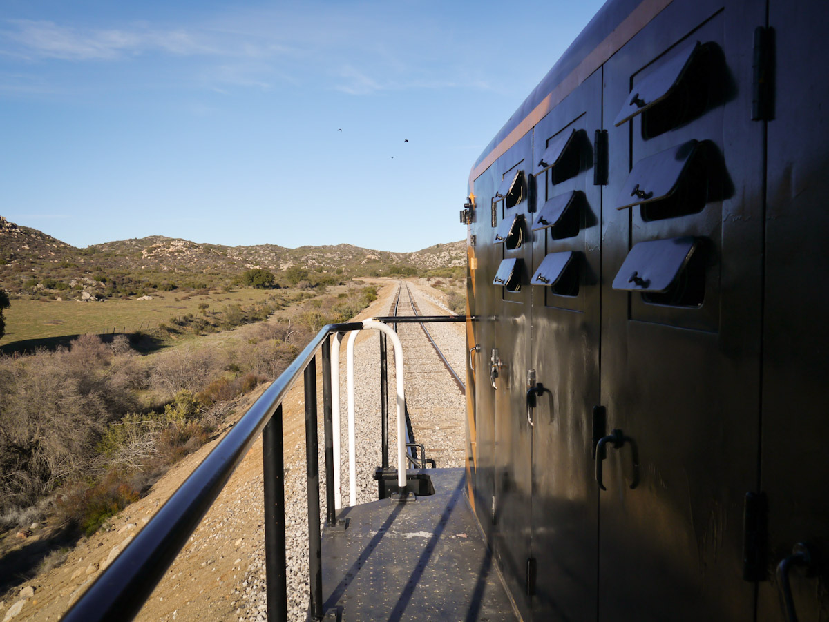
Open Car 0972

Bug's view right before the end
151 Panorama view west down Hauser Canyon with Morena Butte on the right
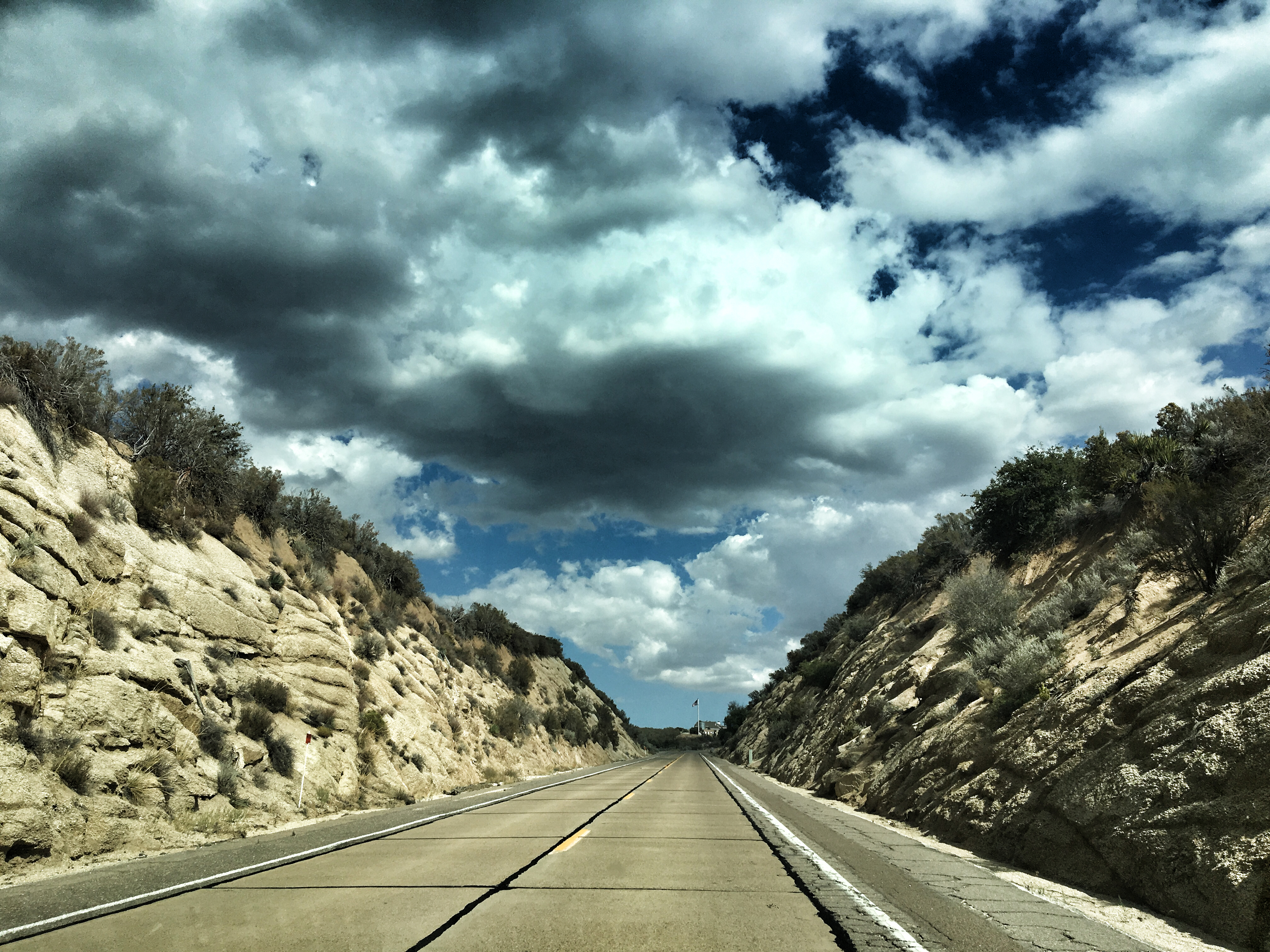
U.S. Highway 80

Pacific Crest Trail, 2018
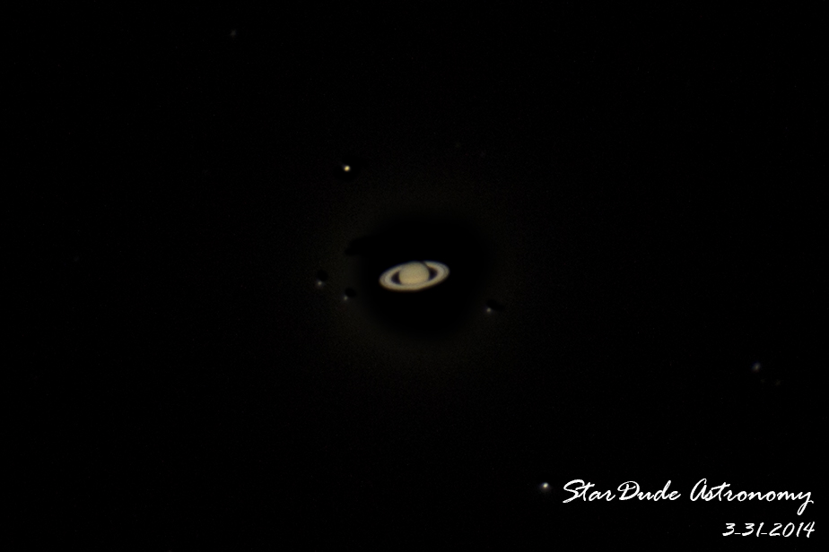
Saturn & Friends
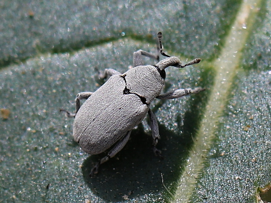
Weevil (Trichobaris compacta) on Datura, Canyon City, San Diego County, CA, 4-21-18 B

Pacific Crest Trail, 2018

Pacific Crest Trail, 2018
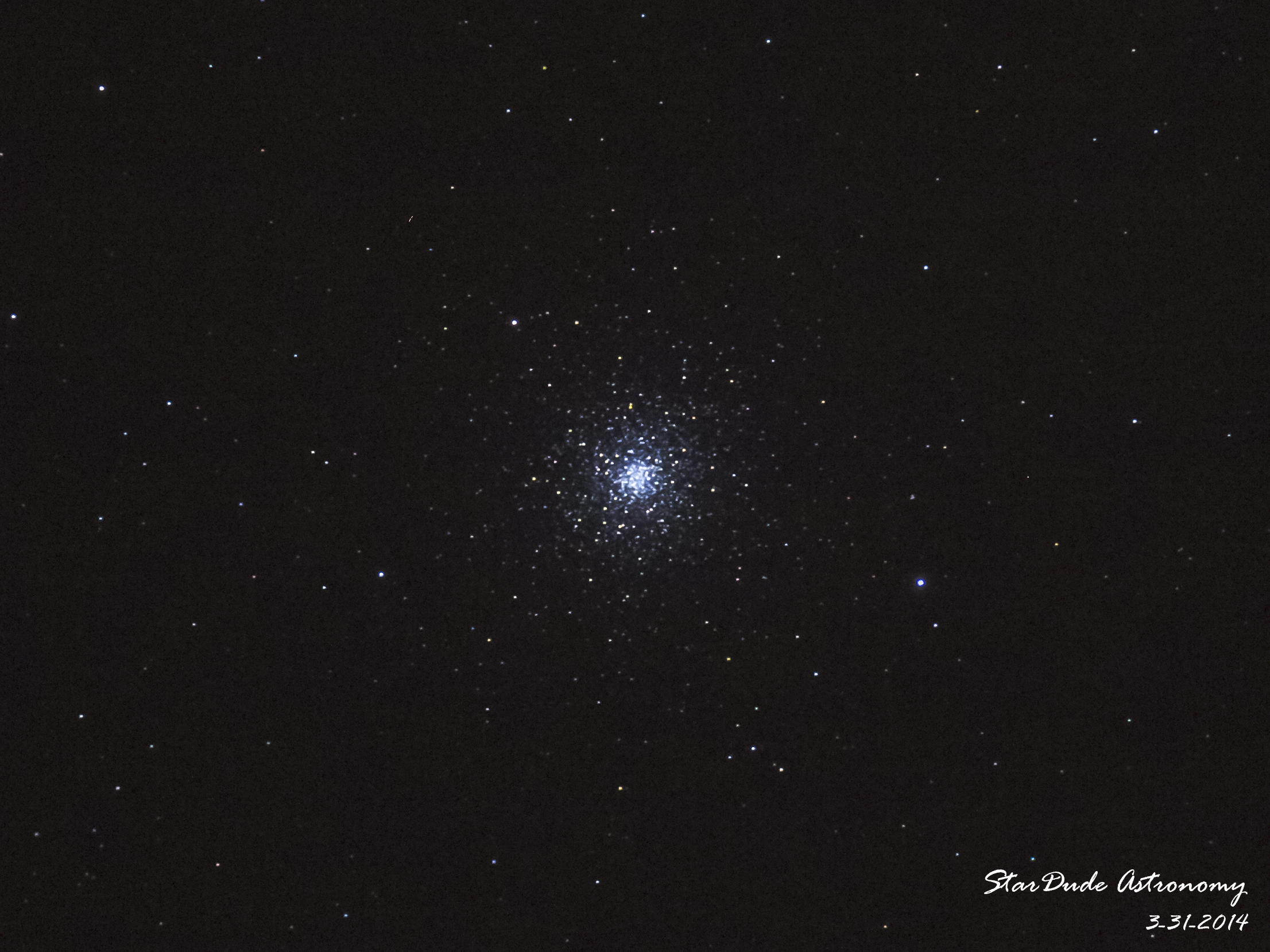
M3 - Globula Cluster

Pacific Crest Trail, 2018

Where is the maker?

Pacific Crest Trail, 2018
My Baby
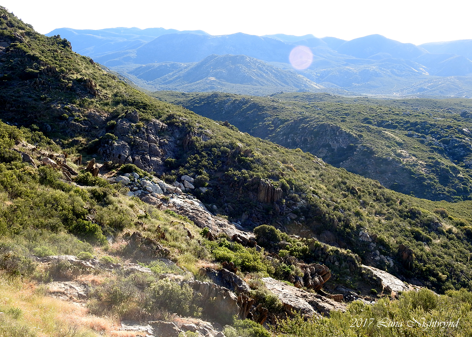
Looking east from Pacific Crest Trail - 7-52 am - 4-30-17

Pacific Crest Trail, 2018

Pacific Crest Trail at Kitchen Creek: Matthew, Alex & Karina

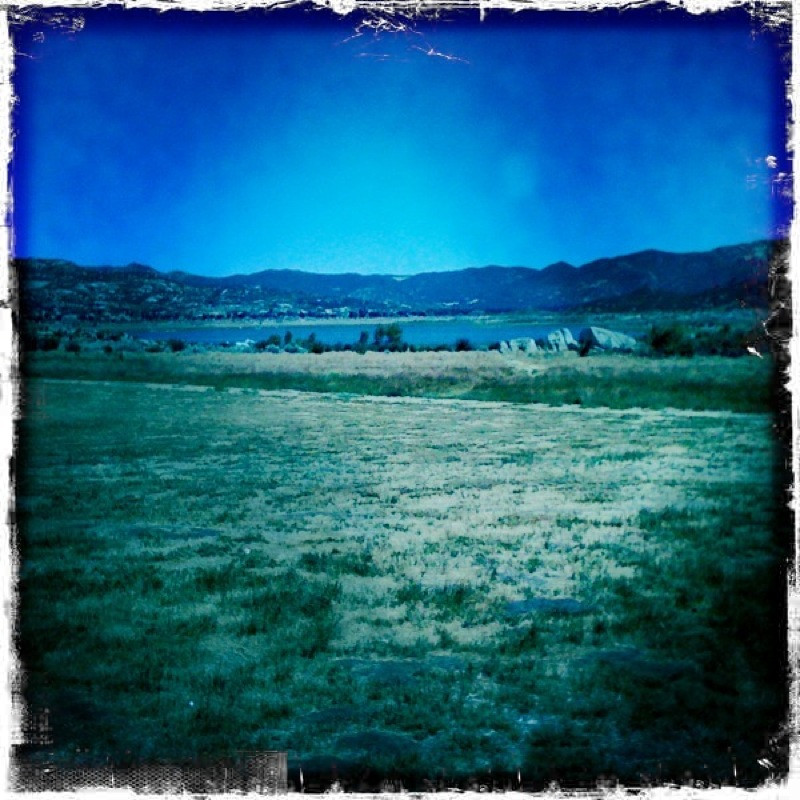
Lake Morena
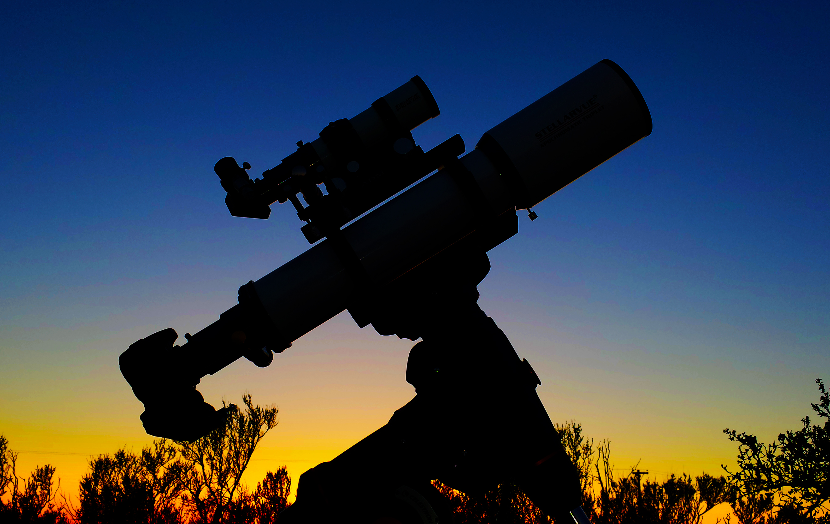
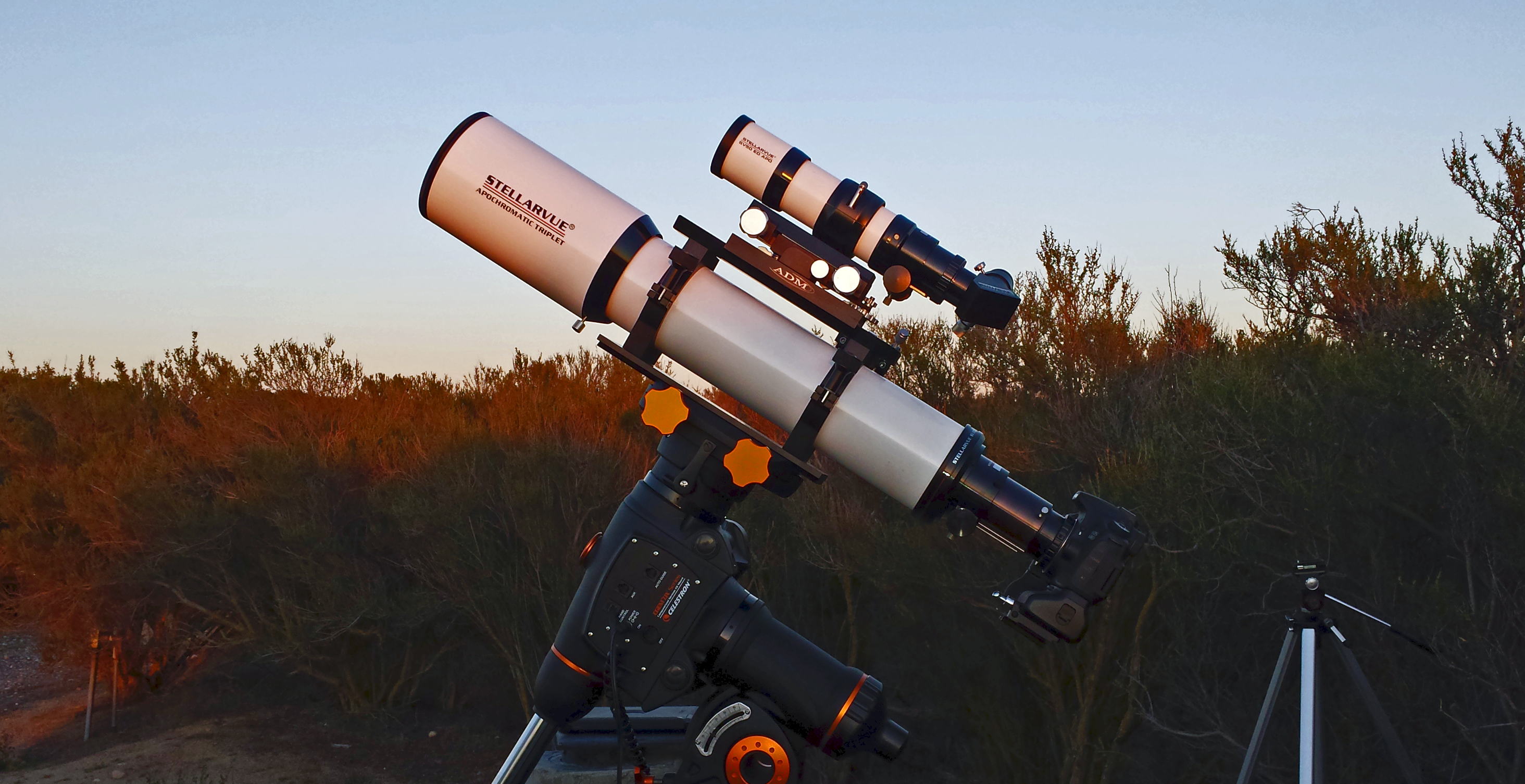
Scope Dreams

Pacific Crest Trail, 2018
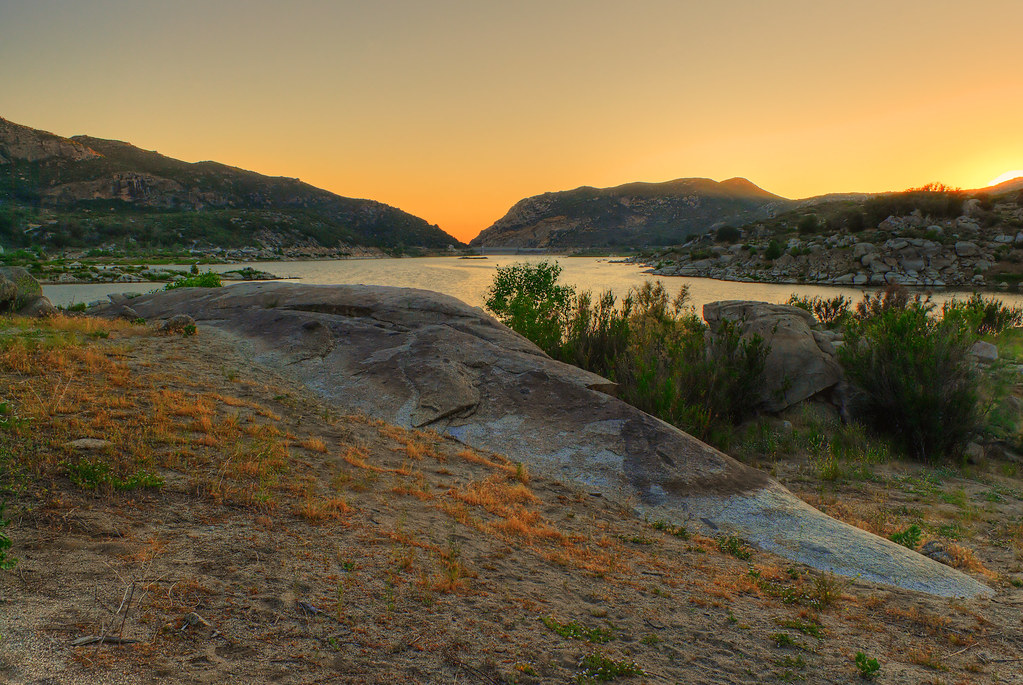
Lake Morena
Topographic Map of Jeb Stuart Rd, Campo, CA, USA
Find elevation by address:

Places near Jeb Stuart Rd, Campo, CA, USA:
431 Jeb Stuart Rd
Campo
Campo Road
Sheridan Road
Sheridan Road
Dewey Pl, Campo, CA, USA
1361 Dewey Pl
1361 Dewey Pl
1361 Dewey Pl
1361 Dewey Pl
1361 Dewey Pl
1361 Dewey Pl
1648 Buckman Springs Rd
32126 Hwy 94
24463 Hwy 94
1817 Lake Morena Dr
CA-94, Campo, CA, USA
2089 Lake Morena Dr
Lake Morena Drive
Unnamed Road
Recent Searches:
- Elevation of Corso Fratelli Cairoli, 35, Macerata MC, Italy
- Elevation of Tallevast Rd, Sarasota, FL, USA
- Elevation of 4th St E, Sonoma, CA, USA
- Elevation of Black Hollow Rd, Pennsdale, PA, USA
- Elevation of Oakland Ave, Williamsport, PA, USA
- Elevation of Pedrógão Grande, Portugal
- Elevation of Klee Dr, Martinsburg, WV, USA
- Elevation of Via Roma, Pieranica CR, Italy
- Elevation of Tavkvetili Mountain, Georgia
- Elevation of Hartfords Bluff Cir, Mt Pleasant, SC, USA