Elevation of Jackson Triangle, Hayward, CA, USA

Location: United States > California > Alameda County > Hayward >

Longitude: -122.08090

Latitude: 37.6534482

Elevation: 20m / 66feet

Barometric Pressure: 101KPa

Elevation Map:

elevation map of Jackson Triangle, Hayward, CA, USA

Satellite Map:

Satellite map of Jackson Triangle, Hayward, CA, USA

Related Photos:

cedarwaxwing waxwing bombycilla cedrorum bombycillacedrorum edenlandingecologicalreserve edenlanding unioncity california edenshore edenshorespark hayward bird feeding nature wildlife blue sky passerine passerinebird eatingberries
Almost got it! ~ Cedar Waxwing (Bombycilla cedrorum)
whitetailedkite whitetailed kite raptor bird birdinflight birdofprey elanus leucurus elanusleucurus coyotehills coyotehillspark fremont california juvenilebird juvenile sp186 blue bluesky sky
White-tailed Kite (Elanus leucurus) (sp. # 186)
bushtit psaltriparusminimus psaltriparus minimus songbird edenlandingecologicalreserve edenlanding edenshore unioncity california donedwardsnwr donedwardsnationalwildliferefuge bird americanbushtit passerinebird passerine edenshorespark hayward
Bushtit / American Bushtit (Psaltriparus minimus) (sp. # 182)
2017 apartment hayward
Hillcrest 20170718
pink blue sky sun flower canon star ii 7d wheats 1635mm project365 photobycindy
In the middle of grass
jetli cats kittens vet eyeproblem
Fluorescein Dye
alamedacounty arrowheadmarsh barnswallow birds california eastbay hirundorustica northerncalifornia swallows coth
Barn Swallow
california road street city light sky usa car sign oakland evening nikon mood traffic dusk atmosphere ambience d700
I've been to
2015 hayward jalewispark view
JA Lewis Park 20150326
california fav50 unioncity minimalist hdr 3xp photomatix nex6 sel55210 loganstadium
Empty seats at the stadium
california desktop light red wallpaper green night truck painting photography nikon long exposure tokina 1224mm peterbilt d90 nilescanyon mattgranz
Ever Seen the Movie Duel?
sunset red reflection water wow fire interestingness fengshui flickrwow fremontca interestingness4 cound i500 a flickryahoo exploretop10 exploretop20 explore25oct2006 superaplus aplusphoto
Air and water, charging on!
halloween creepy spooky handheld ardenwood vob muhuhahahahaha extremelowlightshotsprocessedextensivelyinphotoshoptogetyouinthemoodforhalloween
do you dare venture beyond?
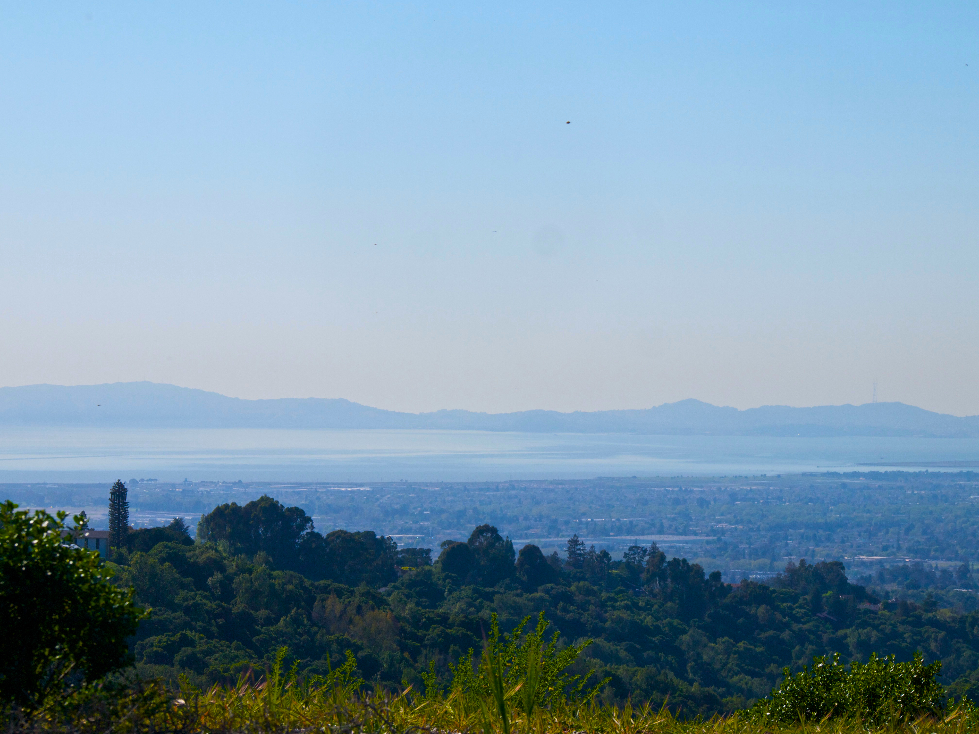
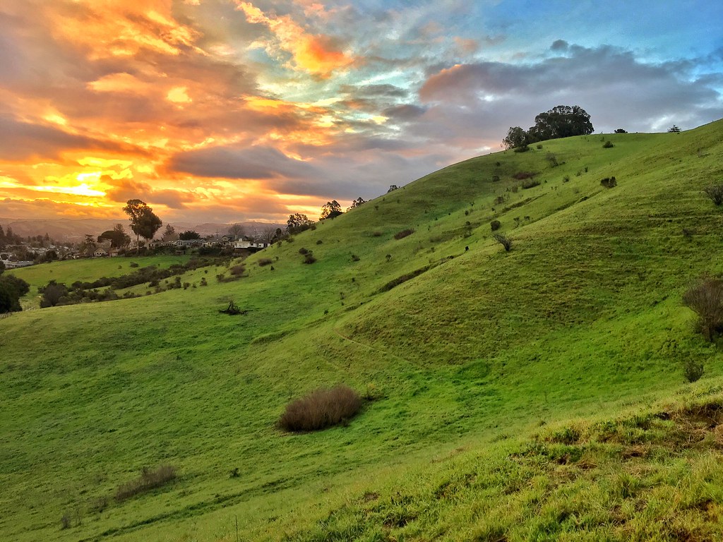
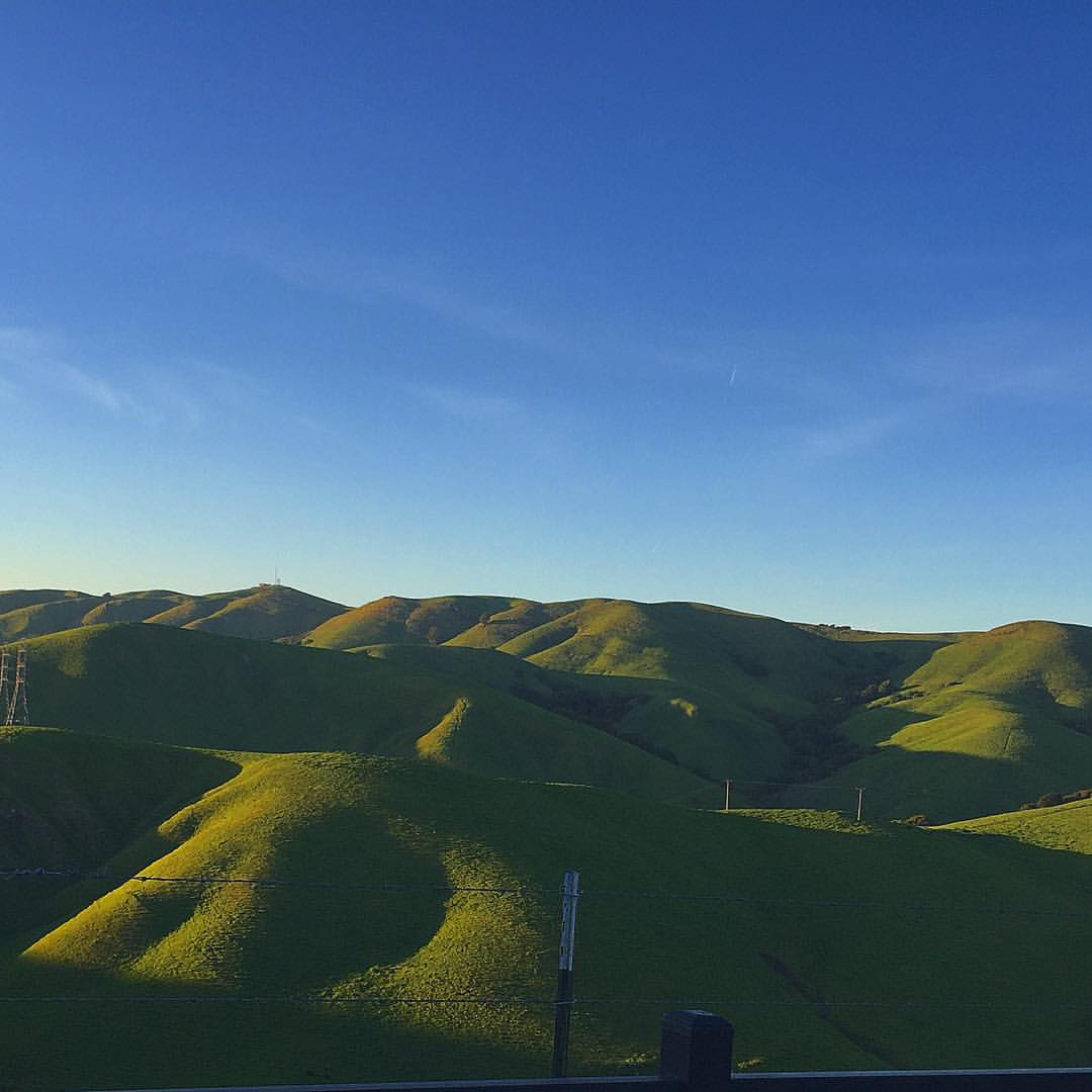
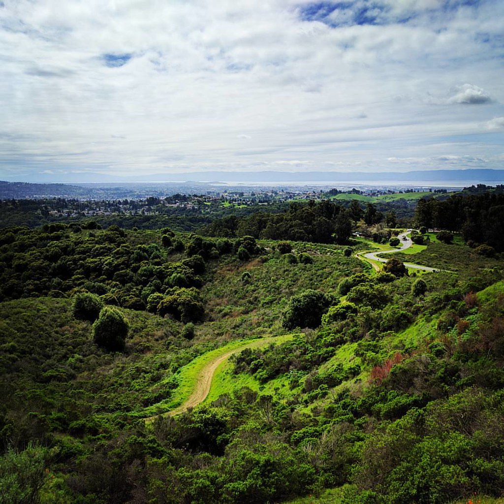
california bridge landscape bay saltpond sanfranciscobay coyotehills dumbartonbridge
Golden Hills
california nightphotography dublin moon eastbay hdr canon500d interstate580
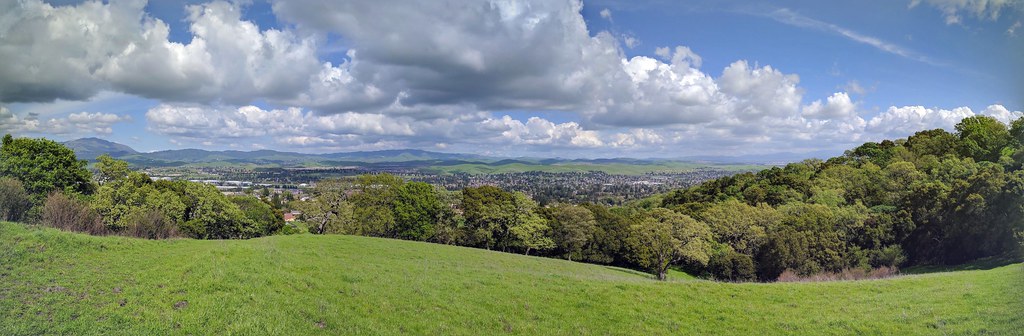
Night View of Tri-Valley
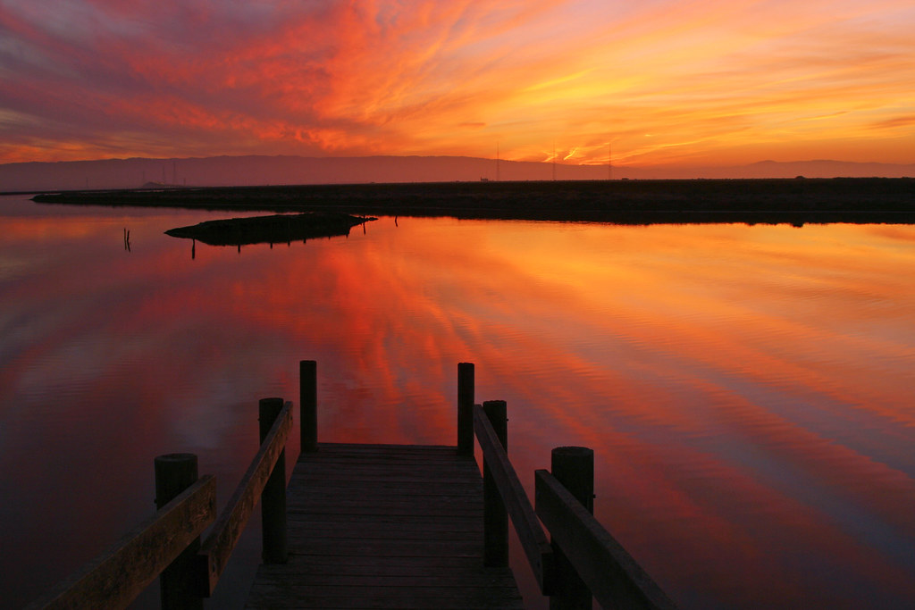
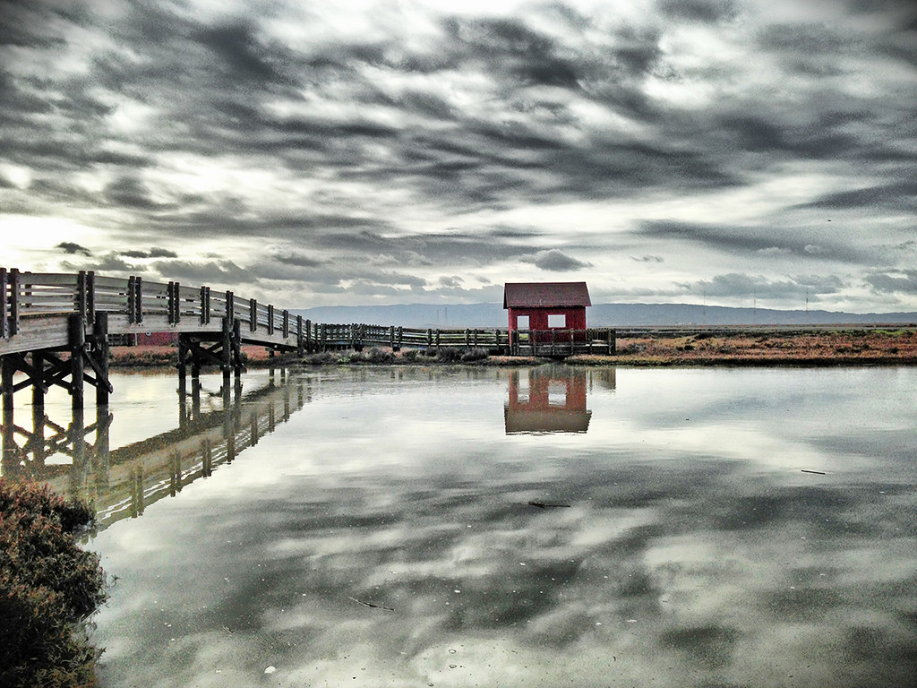
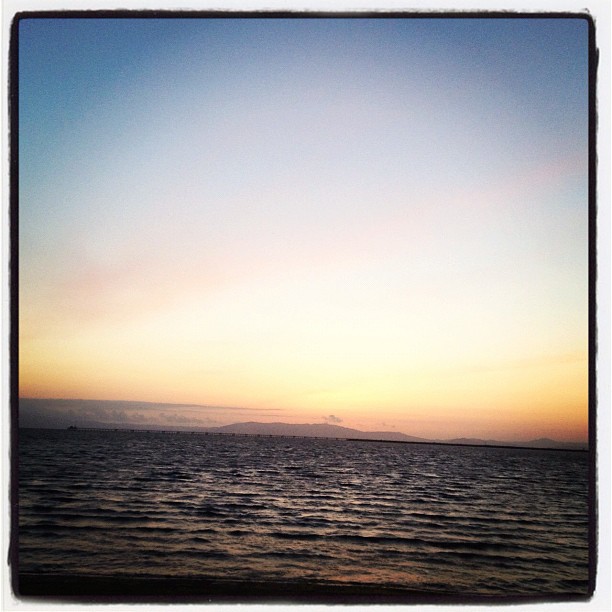
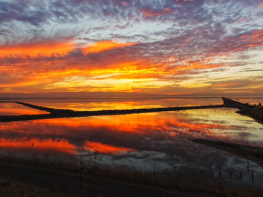
bay bayarea baytrail landscape marsh marshlands nature ruins saltworks sanfranciscobay shore water wetlands
Old Salt Works
ngc flight northernharrier avianexcellence coyotehillsbirds2013
'out of nowhere'
circuscyaneus afternoon bird coyotehillsregionalpark grayghost hawk northernharrier owlish raptor sanfranciscobay
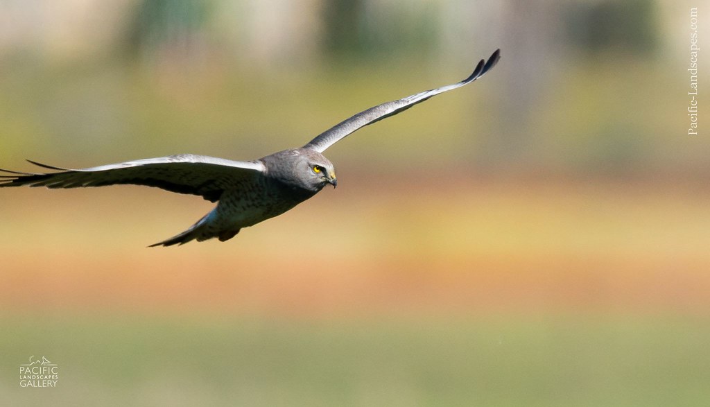
Gray Ghost in Flight
sanfrancisco california bayarea color nikon d810 february 2017 winter boury pbo31 oakland kingestate over view rain storm overcast city baybridge bridge rooftops gray lightstream traffic cloudy urban panoramic large stitched panorama oakknoll
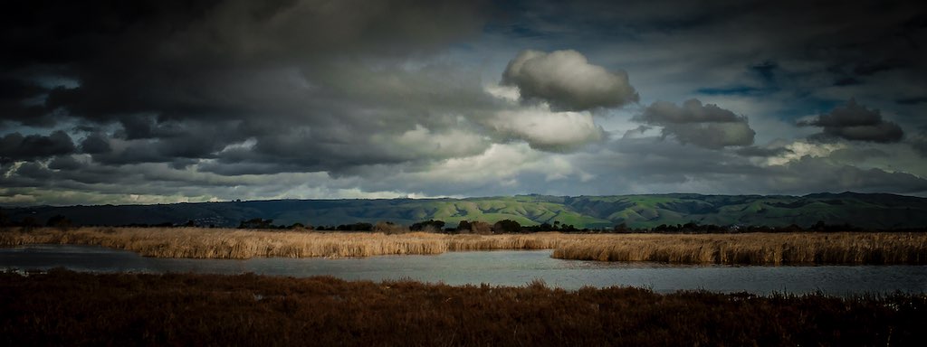
king estate stormy sky panorama
california above park summer sky orange brown color northerncalifornia yellow nikon track publictransportation view purple metro bart august latenight transit commute bayarea eastbay unioncity d200 southbay 2008 skyway bartstation traffictrails lightstream
park and ride
california usa america oakland unitedstates circus unitedstatesofamerica eastbay trapeze ringlingbros ringlingbrothers fav10 oaklandcollesium ringlingbrothersbarnumbaileycircus
Living Proof
ebparksok
Lake Chabot
ebparksok
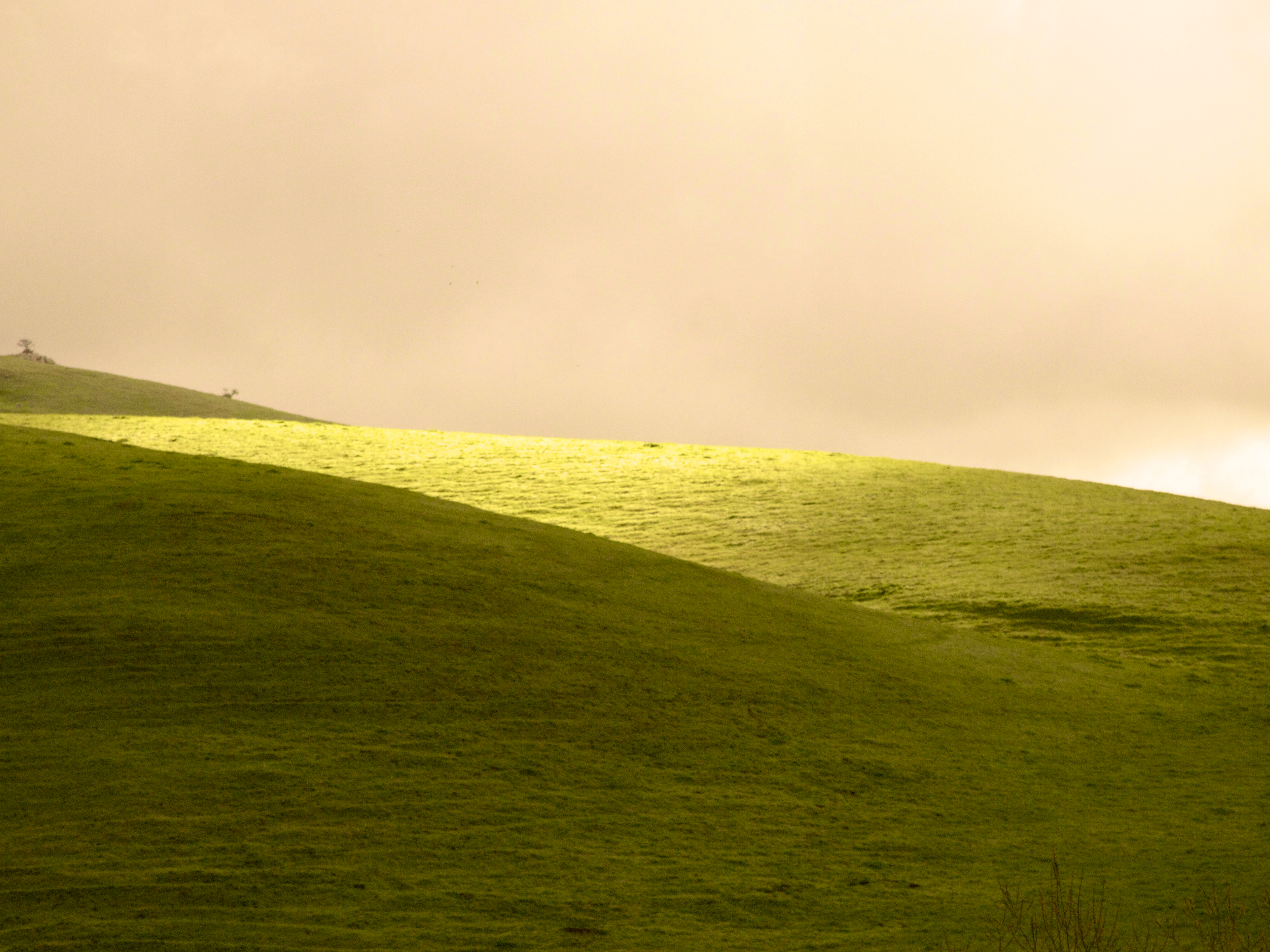
rain and sun alternating
ebparksok
Lake Chabot
ebparksok
Lake Chabot
IMG_20170325_150349-PANO
2015 cattle clouds flowers garinregional
Garin 20150227
ebparksok
Garin Regional Park
california coyotehillsregionalpreserve fremont pond unitedstates water clouds wetlands marsh landscape
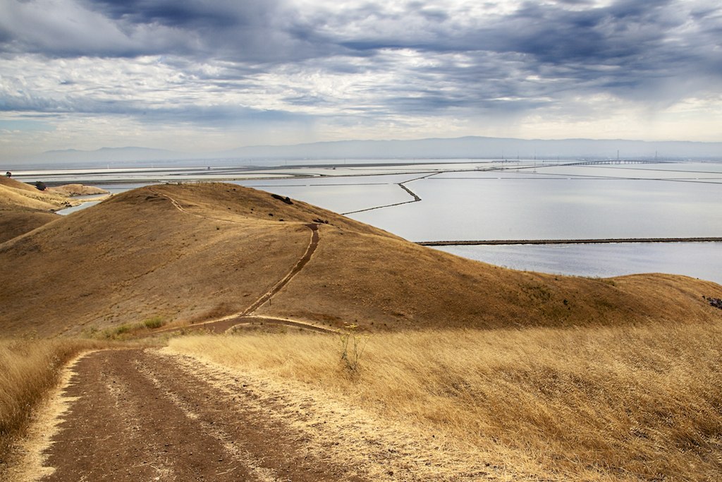
Coyote Hills Regional Preserve
instagramapp square squareformat iphoneography uploaded:by=instagram
Something about these hills...remind me of Shrek.
wild sky nature yellow clouds landscape spring pretty mustard hollingsworth ellow firld iphone5 iphoneography uploaded:by=flickrmobile flickriosapp:filter=nofilter
Mustard field
california sunset summer black color green fence nikon highway traffic infinity over bart overpass august bayarea eastbay castrovalley alamedacounty endless 2014 580 lightstream d700 trackss
endless e6
california bridge reflection water clouds barn landscape pretty dramatic donedwards newark hollingsworth iphone5 iphoneeography uploaded:by=flickrmobile flickriosapp:filter=nofilter
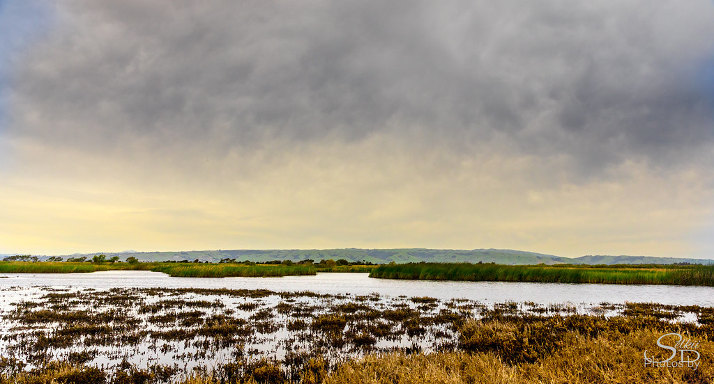
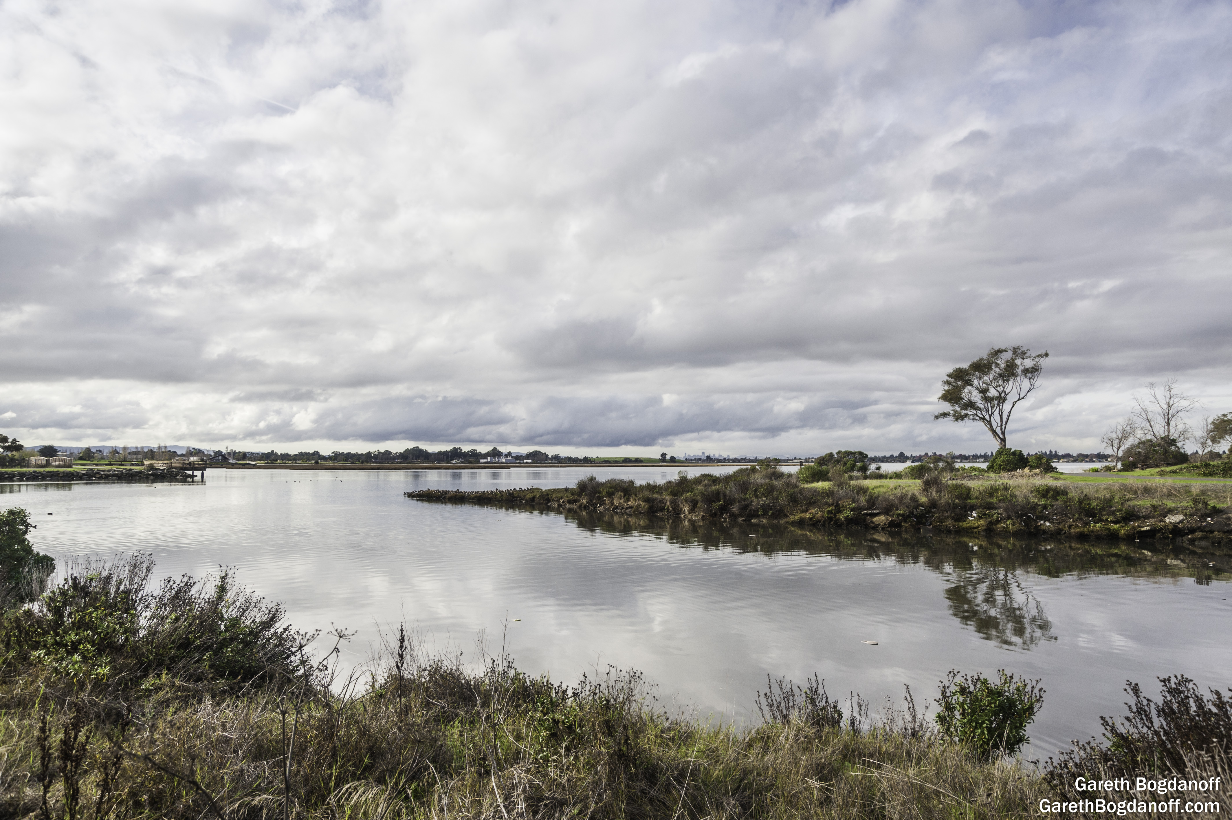
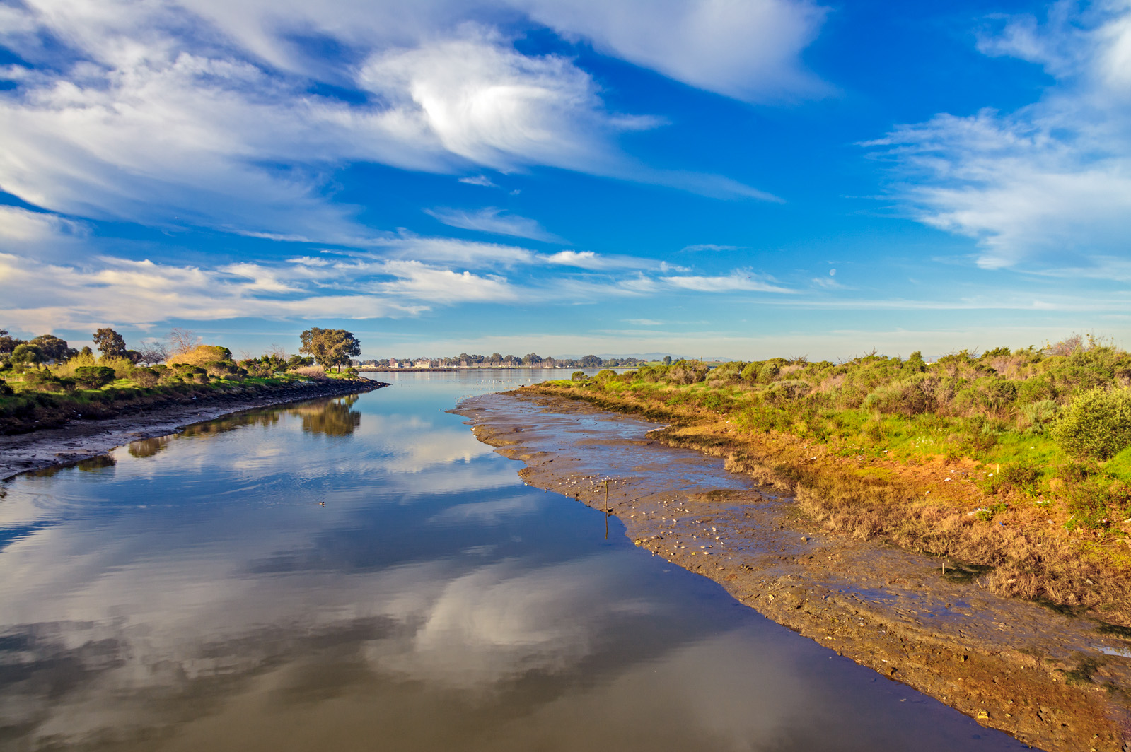
Don Edwards Preserve, Newark California
bay baytrail landscape sanfranciscobay sanleandrobay shore water wetlands
San Leandro Bay
instagramapp square squareformat iphoneography uploaded:by=instagram lofi chabot park california
Chabot Park
square squareformat normal iphoneography instagramapp uploaded:by=instagram foursquare:venue=4cbc6495adcd5481471c2ea2
Sunday's winding down.
nikond7100 landscapes scenic martinlutherkingjrregionalshoreline oaklandcalifornia 66thave edgewaterdrive eastbayregionalparkdistrict eastoakland sanleandrobay damonslough clouds weather oakland california usa
Damon Slough - Eastbay Regional Park District
ca california coyotehills eastbay eastbayregionalparks fremontca landscape lizardrock marsh marshland rocks sanfranciscobayarea water wildlife winter
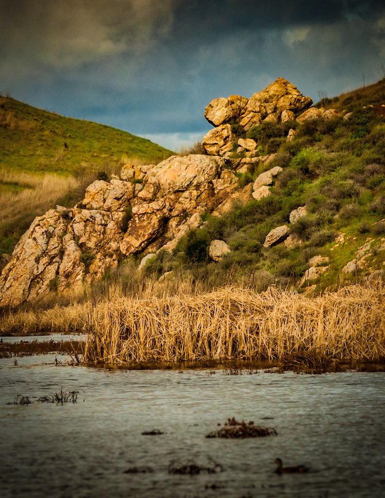
Lizard Rock in Afternoon Light._
ca california cloud clouds cloudseastbay coyotehills eastbay eastbayregionalparks fremontca landscape marsh marshland sanfranciscobayarea water wildlife winter
Coyoto Hils Marsh No3
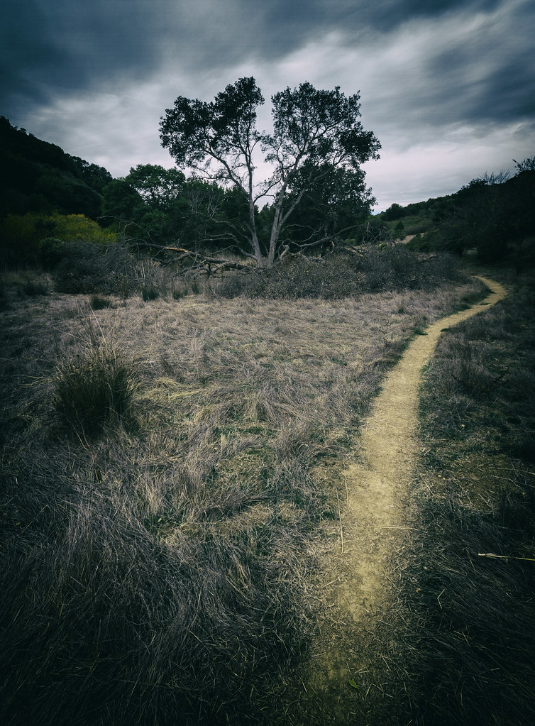
california sunset fremont coyotehills ebparksok
No Name Trail
anthony castrovalley anthonychabotregionalpark project65 ebparksok
Grass Valley Trail