Elevation of Flamingo Ave, Hayward, CA, USA
Location: United States > California > Alameda County > Hayward > Harder - Tennyson >
Longitude: -122.08862
Latitude: 37.6399841
Elevation: 12m / 39feet
Barometric Pressure: 101KPa
Elevation Map:
Satellite Map:
Related Photos:

Fluorescein Dye
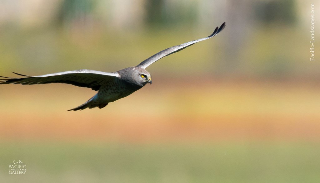
Gray Ghost in Flight

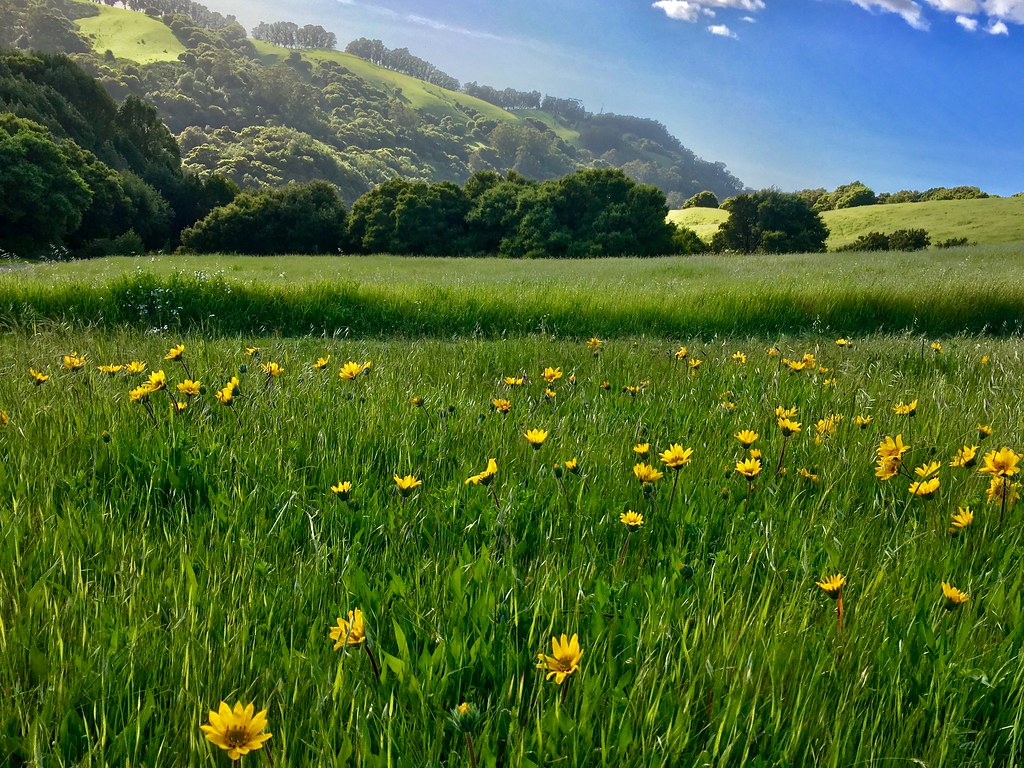
Living Proof
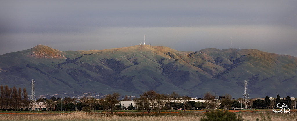
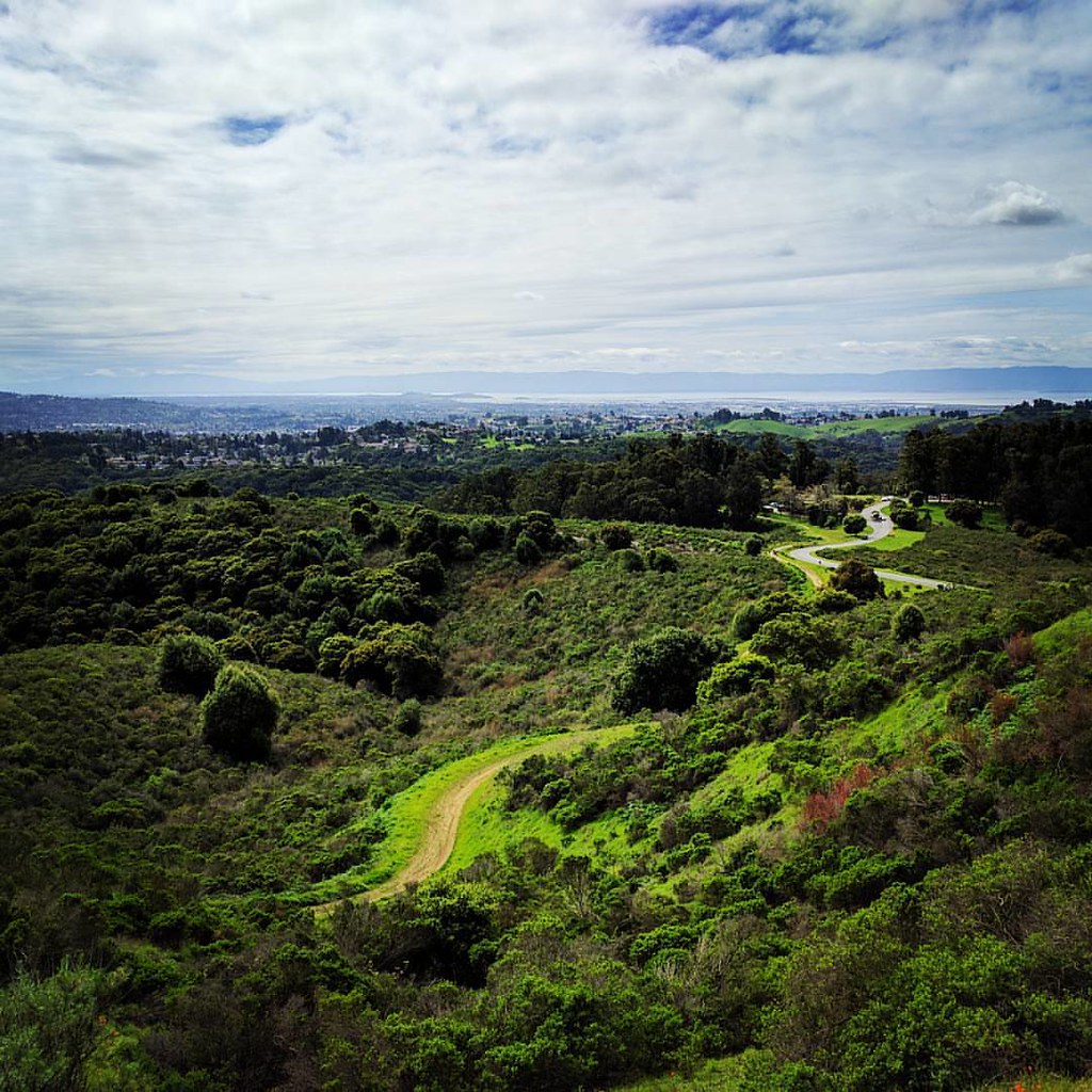
Mission Peak Regional Preserve

Dumpster's Point of View
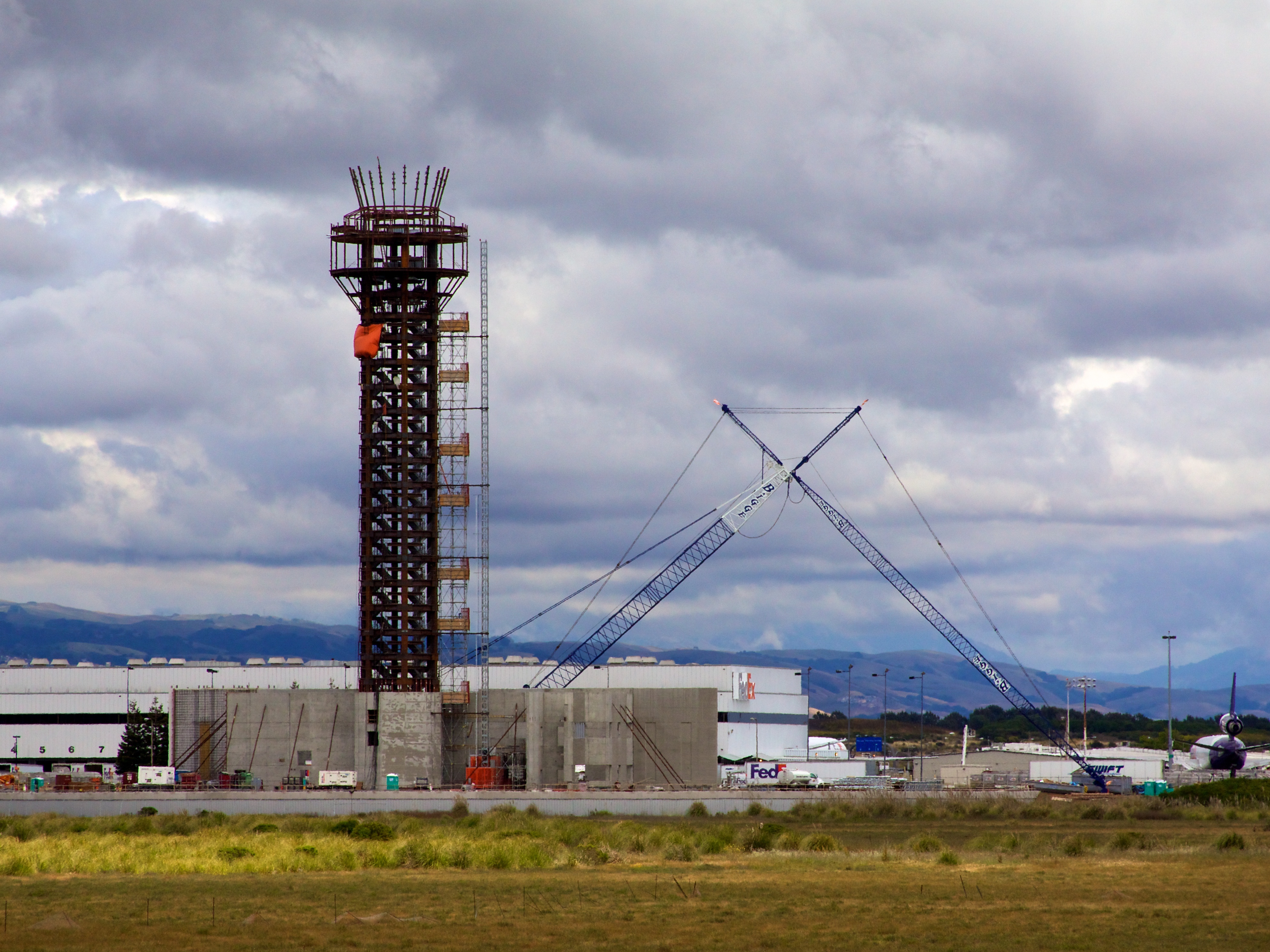
Oakland Tower
Vivid Whispers

#USAirways flight to #Charlotte, #NorthCarolina / #CLT / #CharlotteDouglasInternationalAirport

DSC00001 - Version 2
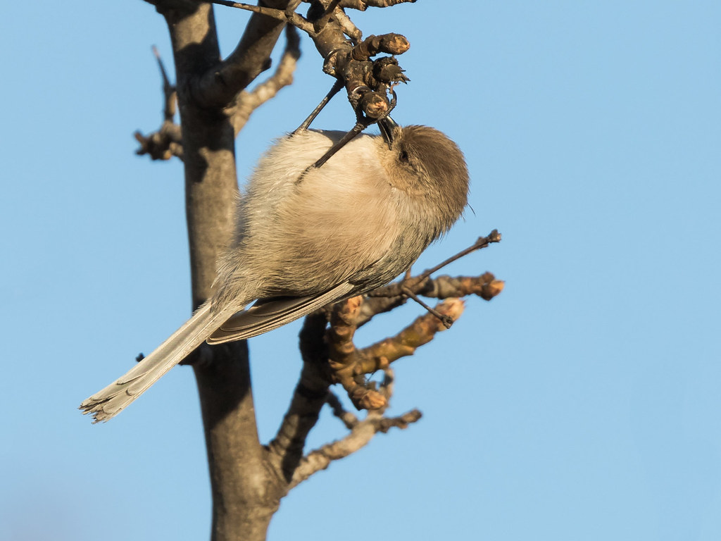
Bushtit / American Bushtit (Psaltriparus minimus) (sp. # 182)
the gatekeeper

In the middle of grass

San Francisco from Alameda Creek, Fremont
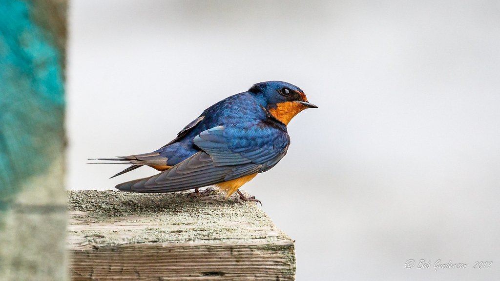
Barn Swallow
The view from above.

I've been to
Empty seats at the stadium
JA Lewis Park 20150326
Aerial View of Jarvis Landing, Fremont CA

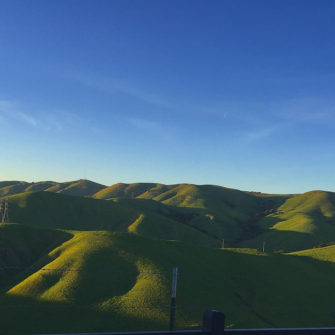
Night View of Tri-Valley
king estate stormy sky panorama
Lake Chabot
rain and sun alternating
Lake Chabot

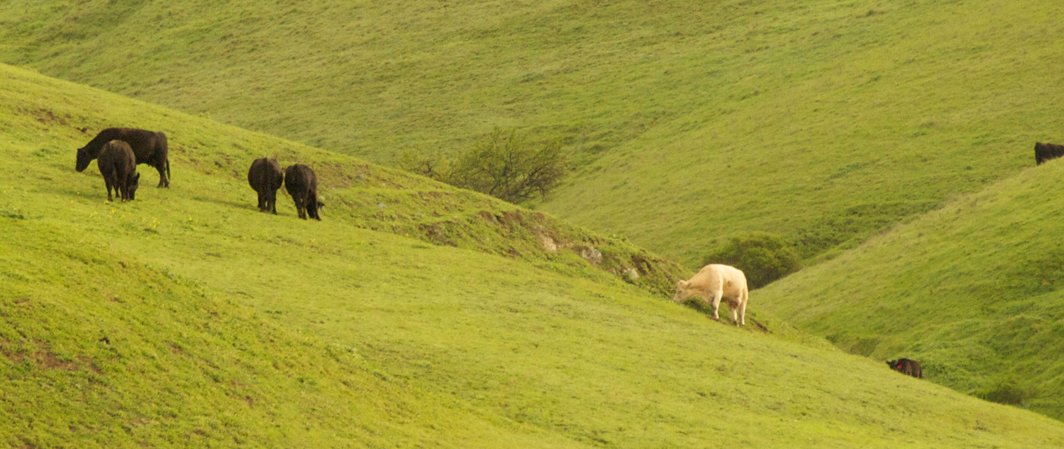
Garin Regional Park
Coyote Hills Regional Preserve

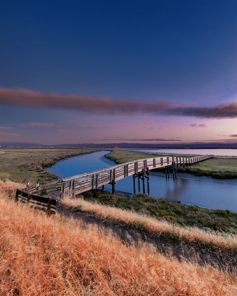
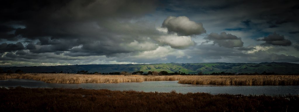
Eden Landing
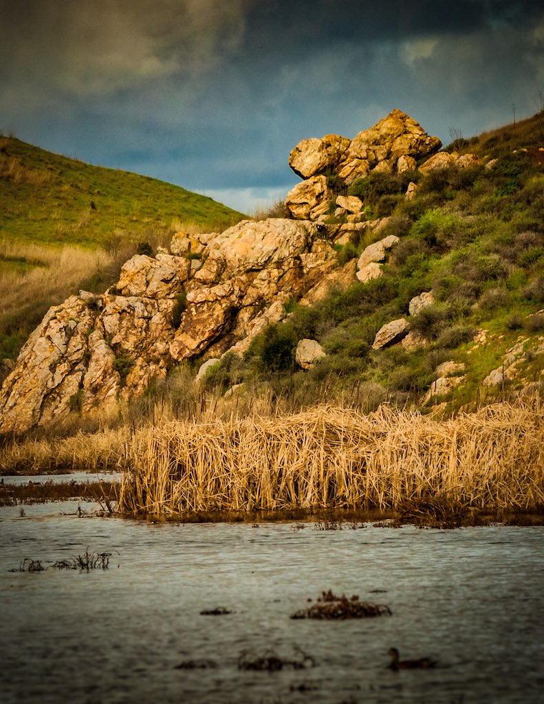
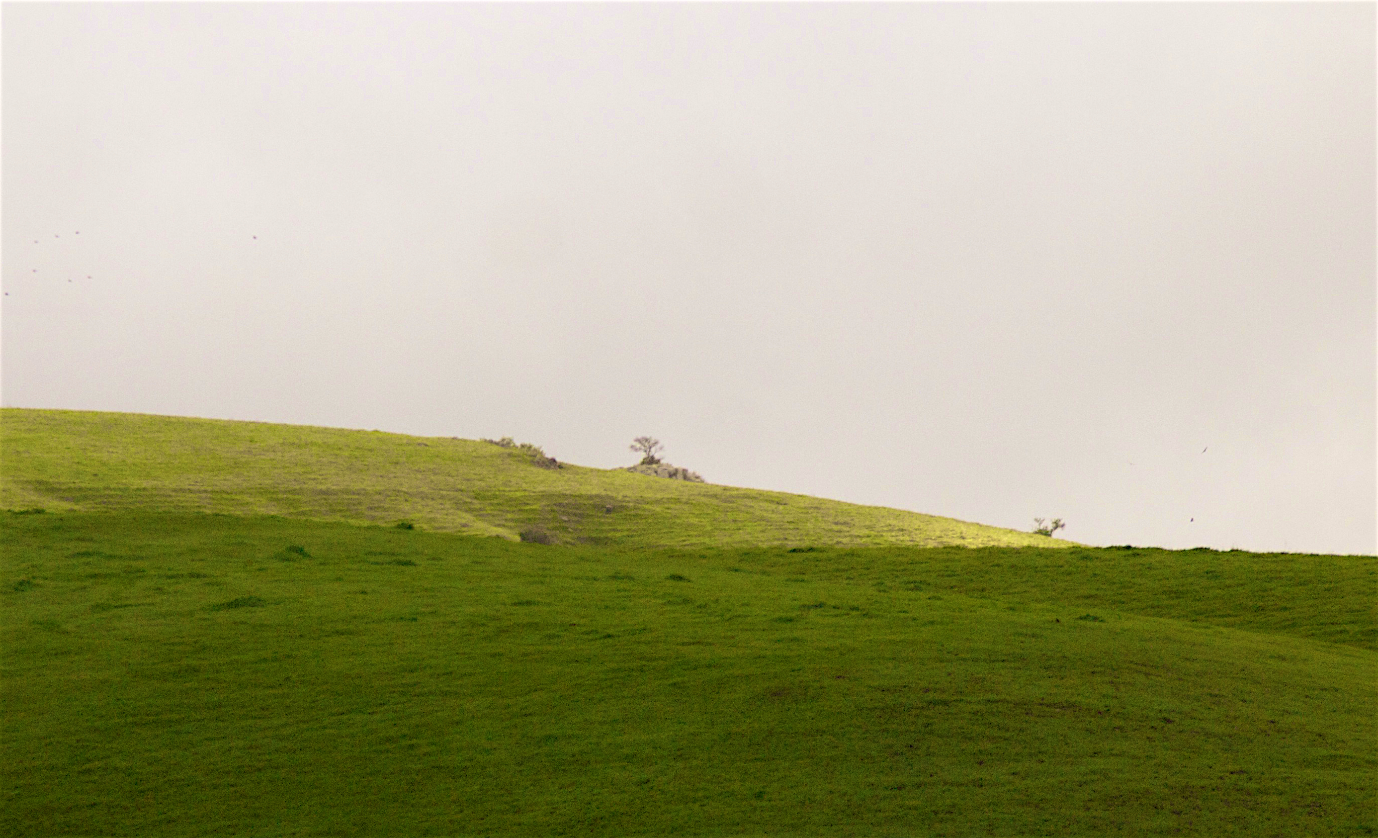
Lizard Rock in Afternoon Light._
Make the day more beautiful by being grateful! . . . #coyotehills #sunset #spring #mustardyellow #mustard #fields #hills #regionalpark

Archimedes Screw
Coyoto Hils Marsh No3
Garin 20150227
Lake Chabot
Garin 20150227
Something about these hills...remind me of Shrek.

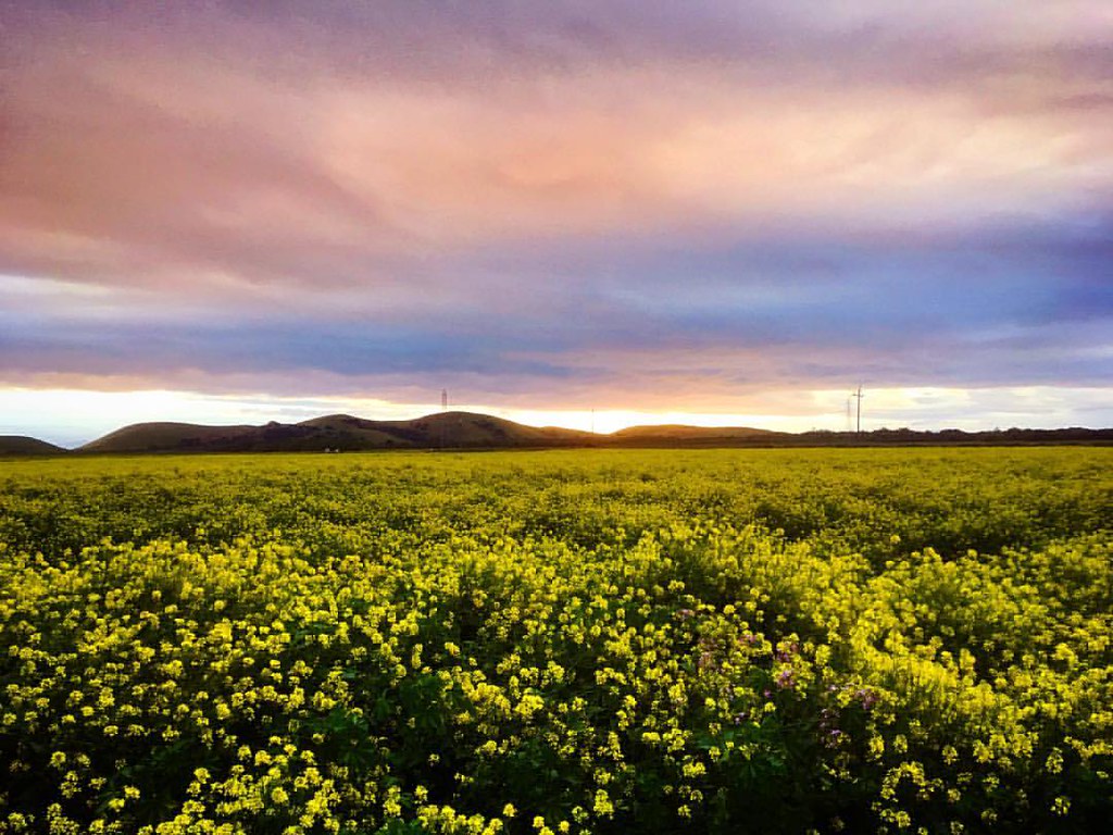
Mustard field

Coyote Hill Park
Chabot Park

Coyote Hill and SF Bay Wildlife Refuge
Don Edwards Preserve, Newark California

The fog started breaking up yielding scenes like this. The traction as velvety on this trail, I am already looking forward to Saturday's race! #BrazenRacing #CoyoteHills
Topographic Map of Flamingo Ave, Hayward, CA, USA
Find elevation by address:

Places near Flamingo Ave, Hayward, CA, USA:
26608 Underwood Ave
West Jackson Street
Harder - Tennyson
The Timbers Apartments
25449 Huntwood Ave
25429 Huntwood Ave
Hesperian Boulevard
24763 Kay Ave
Glen Eden
24986 Silverthorne Pl
Jackson Triangle
1819 Florida St
2383 Cryer St
1964 Elder Way
2671 Darwin St
Leeward Street
2446 Bourbon Dr
300 Jackson St
Santa Clara
East Jackson Street
Recent Searches:
- Elevation of Corso Fratelli Cairoli, 35, Macerata MC, Italy
- Elevation of Tallevast Rd, Sarasota, FL, USA
- Elevation of 4th St E, Sonoma, CA, USA
- Elevation of Black Hollow Rd, Pennsdale, PA, USA
- Elevation of Oakland Ave, Williamsport, PA, USA
- Elevation of Pedrógão Grande, Portugal
- Elevation of Klee Dr, Martinsburg, WV, USA
- Elevation of Via Roma, Pieranica CR, Italy
- Elevation of Tavkvetili Mountain, Georgia
- Elevation of Hartfords Bluff Cir, Mt Pleasant, SC, USA