Elevation map of Jackson County, SD, USA
Location: United States > South Dakota >
Longitude: -101.52480
Latitude: 43.6648065
Elevation: 740m / 2428feet
Barometric Pressure: 93KPa
Elevation Map:
Satellite Map:
Related Photos:
img_2220.jpg
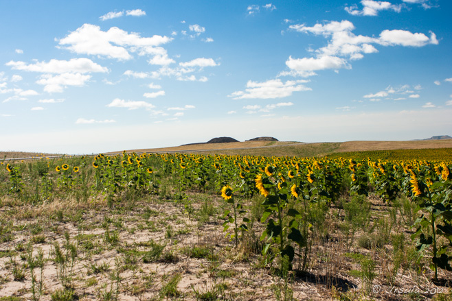
Sunflowers 0996

Stop! (Crop) 1007

09 Machine_1012
img_2212.jpg
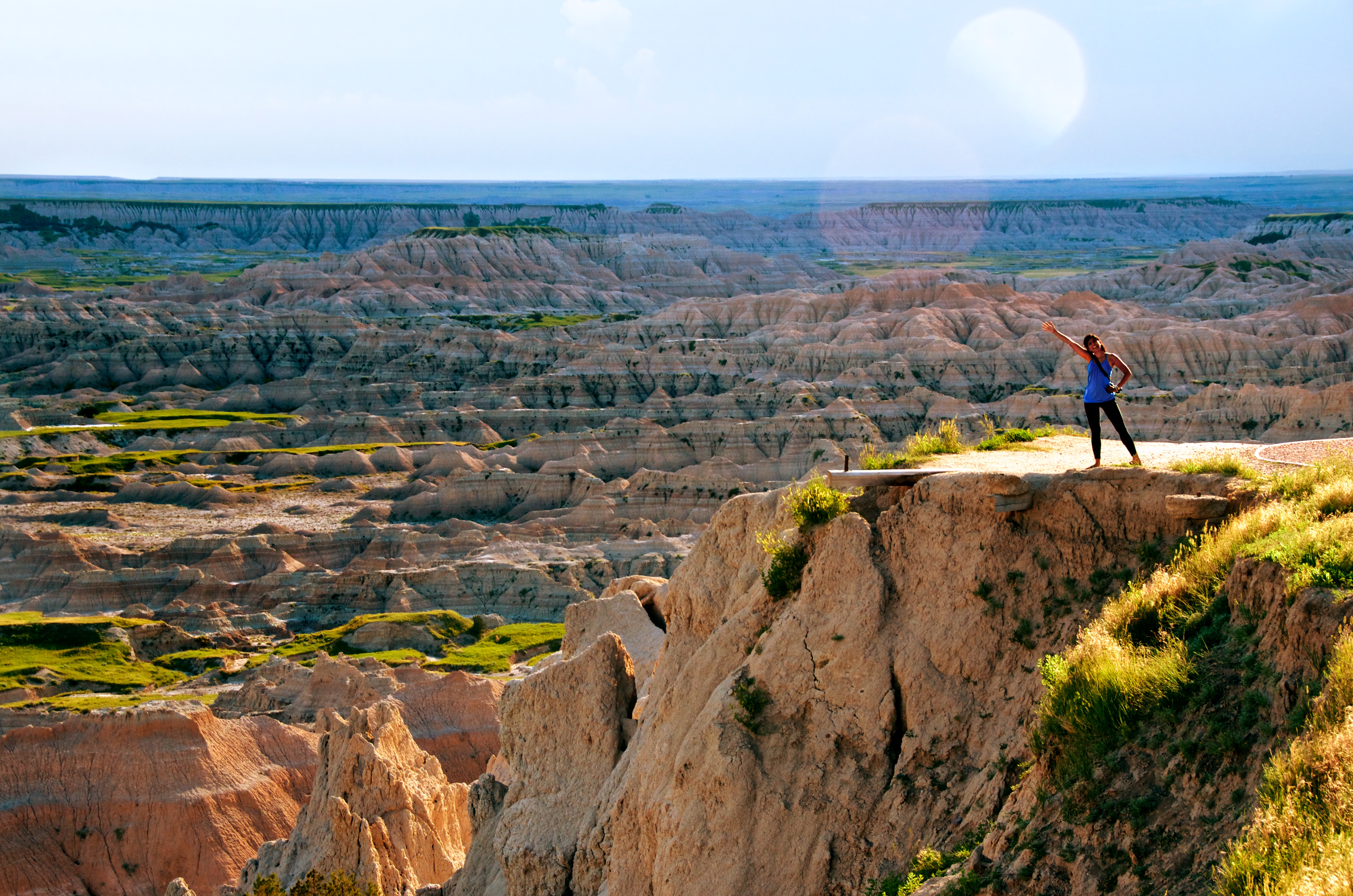
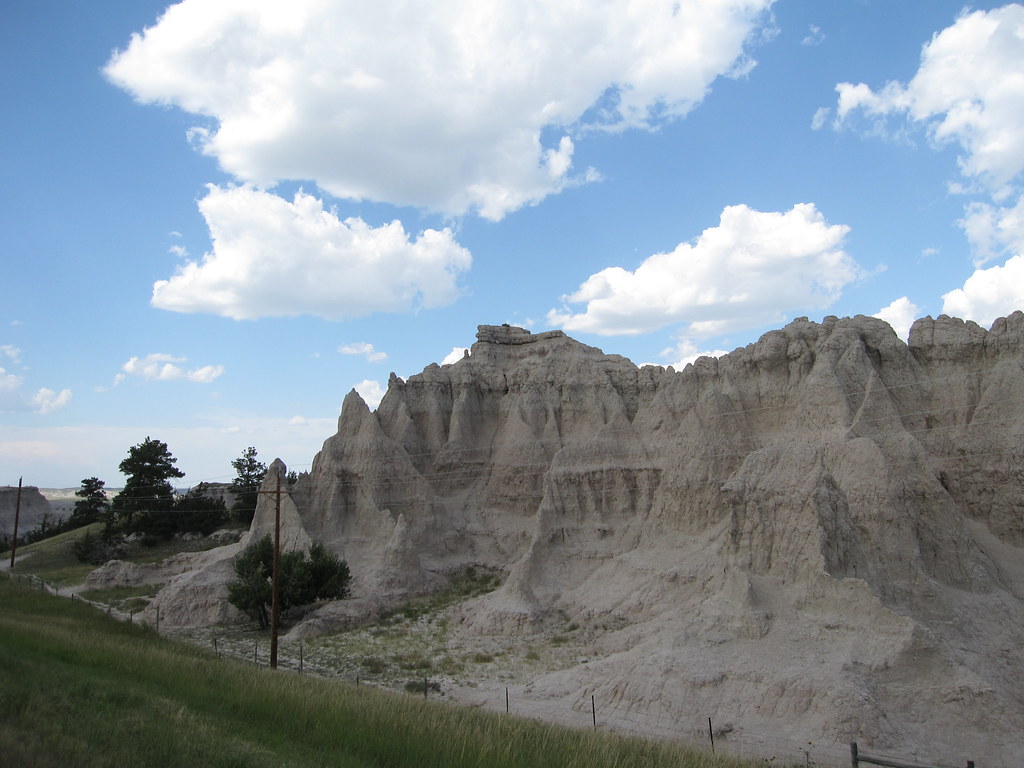
Look, Badlands!

Stop! 1007
img_2213.jpg
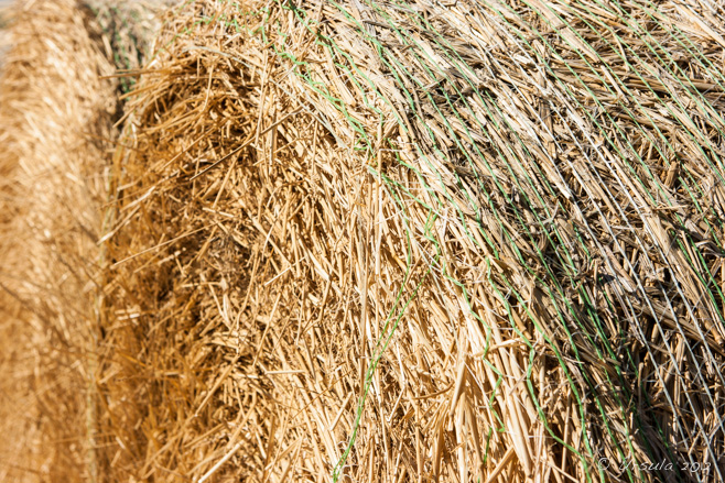
Bale 0999
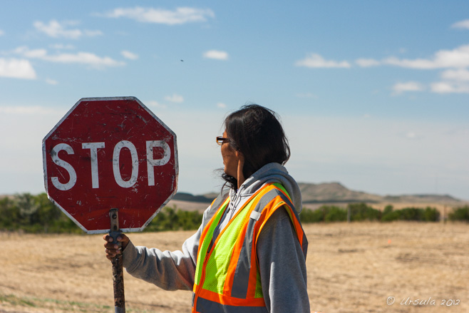
Stop! 1006
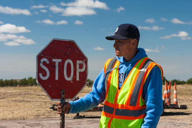
Stop! 1004

Sunflowers 0994

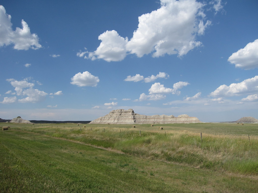
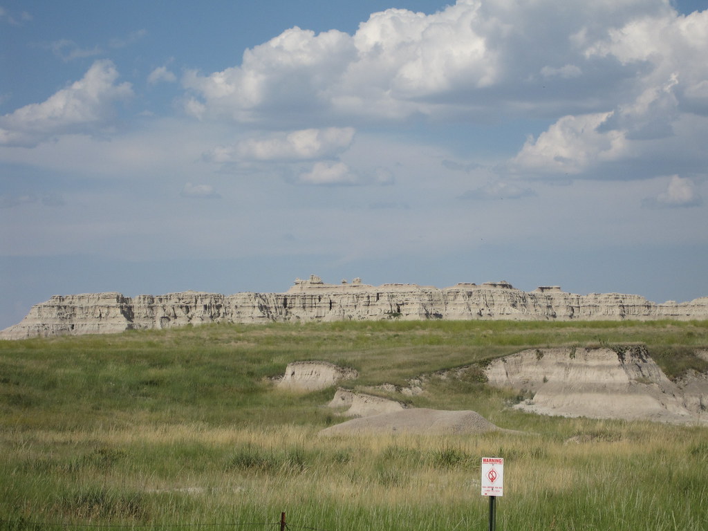
Mesa 0986
img_2216.jpg
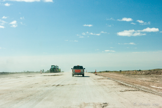
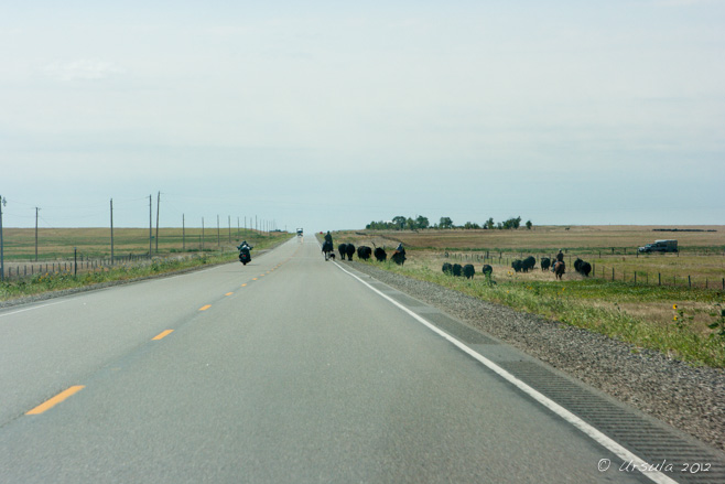
Pilot Car 1015

Stop! 1016
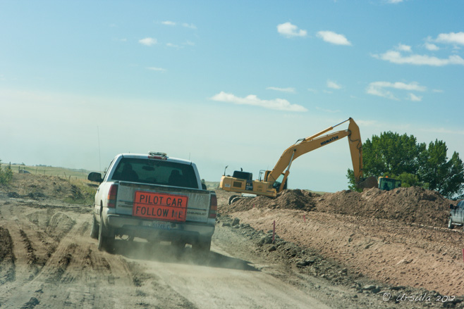
Pilot Car 1008
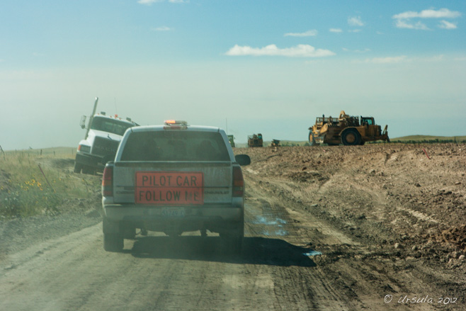
Pilot Car 1009
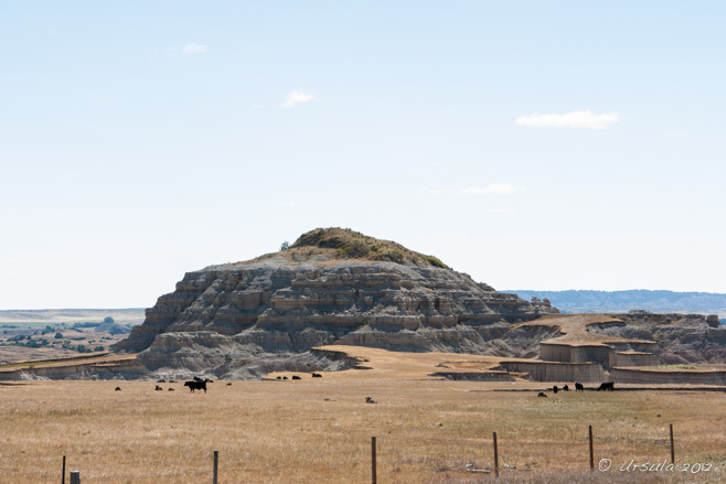
Mesa 0987

Sunflowers 0992
Country Roads 1020
Topographic Map of Jackson County, SD, USA
Find elevation by address:

Places in Jackson County, SD, USA:
Places near Jackson County, SD, USA:
Kadoka
2nd Ave, Kadoka, SD, USA
Northwest Jackson
Cactus Flat
21295 Sd-240
Cedar Pass Lodge
Interior
Main St, Interior, SD, USA
Circle View Guest Ranch
Castle Butte Township
Pennington County
Norris St, Wall, SD, USA
Wall
203rd Street
Badlands National Park
Wilsey Rd, Wall, SD, USA
Scenic
Dakota Township
Belle Fourche River
24460 Heinrich Rd
Recent Searches:
- Elevation of Corso Fratelli Cairoli, 35, Macerata MC, Italy
- Elevation of Tallevast Rd, Sarasota, FL, USA
- Elevation of 4th St E, Sonoma, CA, USA
- Elevation of Black Hollow Rd, Pennsdale, PA, USA
- Elevation of Oakland Ave, Williamsport, PA, USA
- Elevation of Pedrógão Grande, Portugal
- Elevation of Klee Dr, Martinsburg, WV, USA
- Elevation of Via Roma, Pieranica CR, Italy
- Elevation of Tavkvetili Mountain, Georgia
- Elevation of Hartfords Bluff Cir, Mt Pleasant, SC, USA