Elevation of Jackman, ME, USA
Location: United States > Maine > Somerset County >
Longitude: -70.252151
Latitude: 45.6240392
Elevation: 374m / 1227feet
Barometric Pressure: 97KPa
Elevation Map:
Satellite Map:
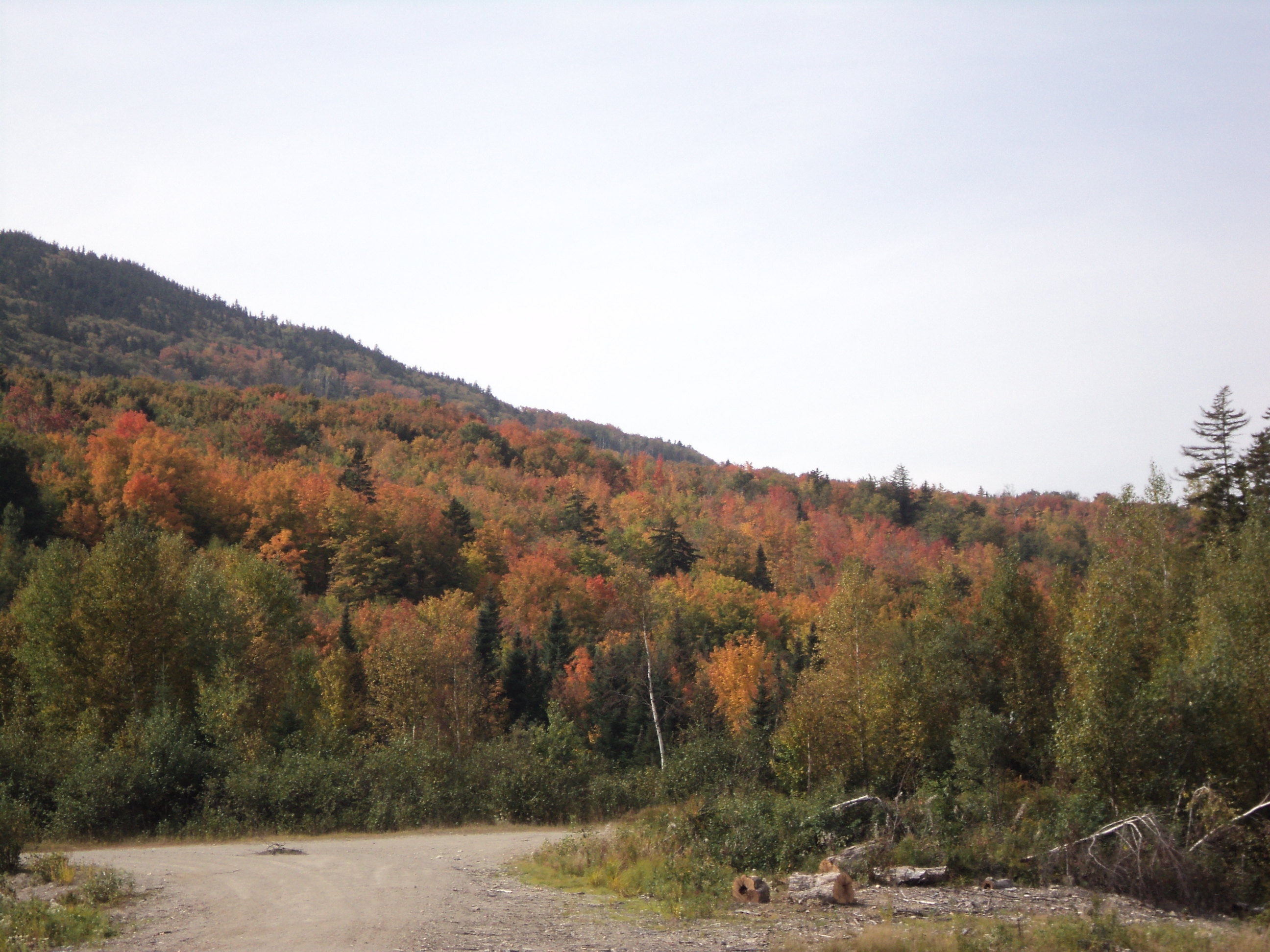
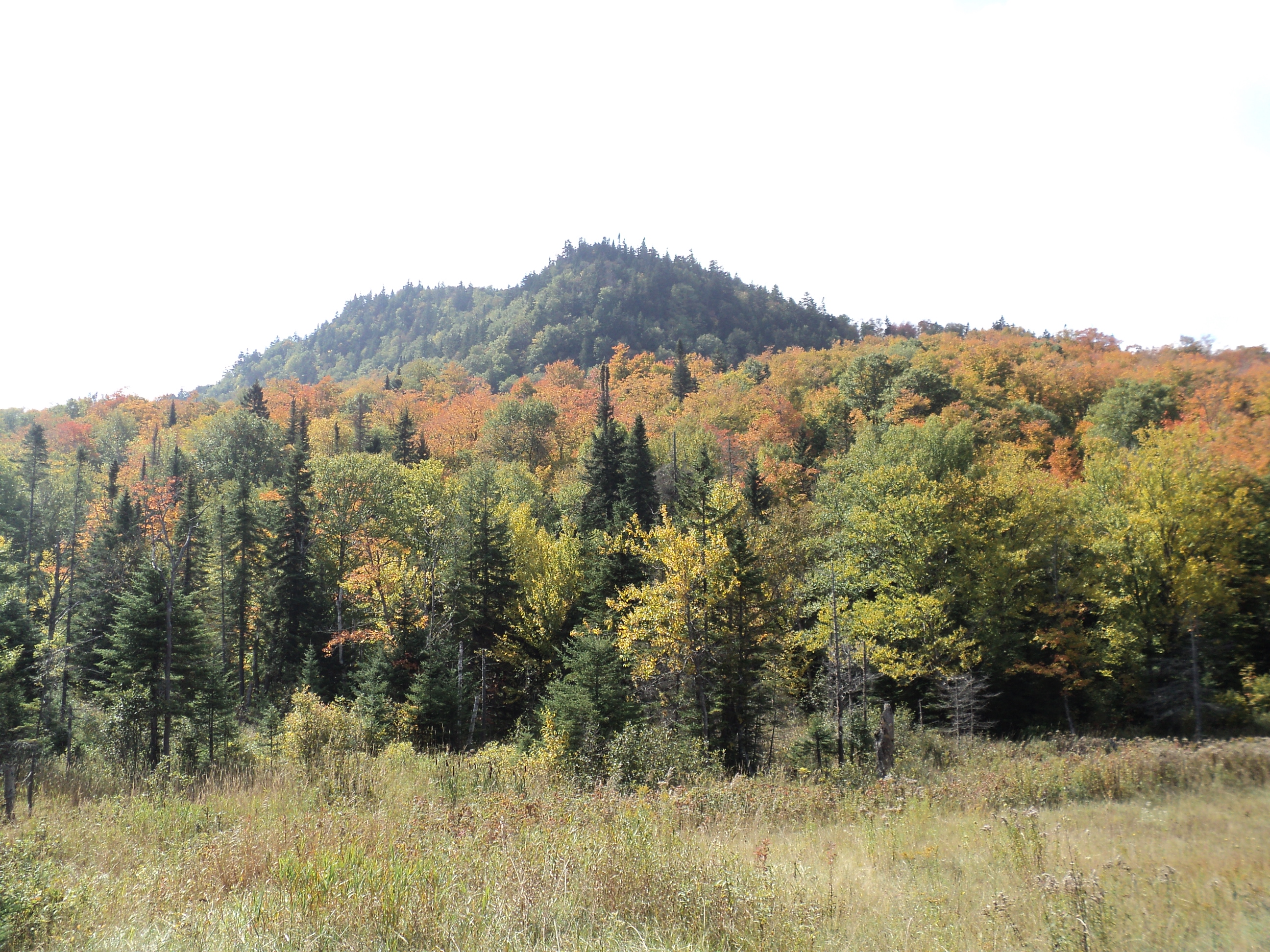
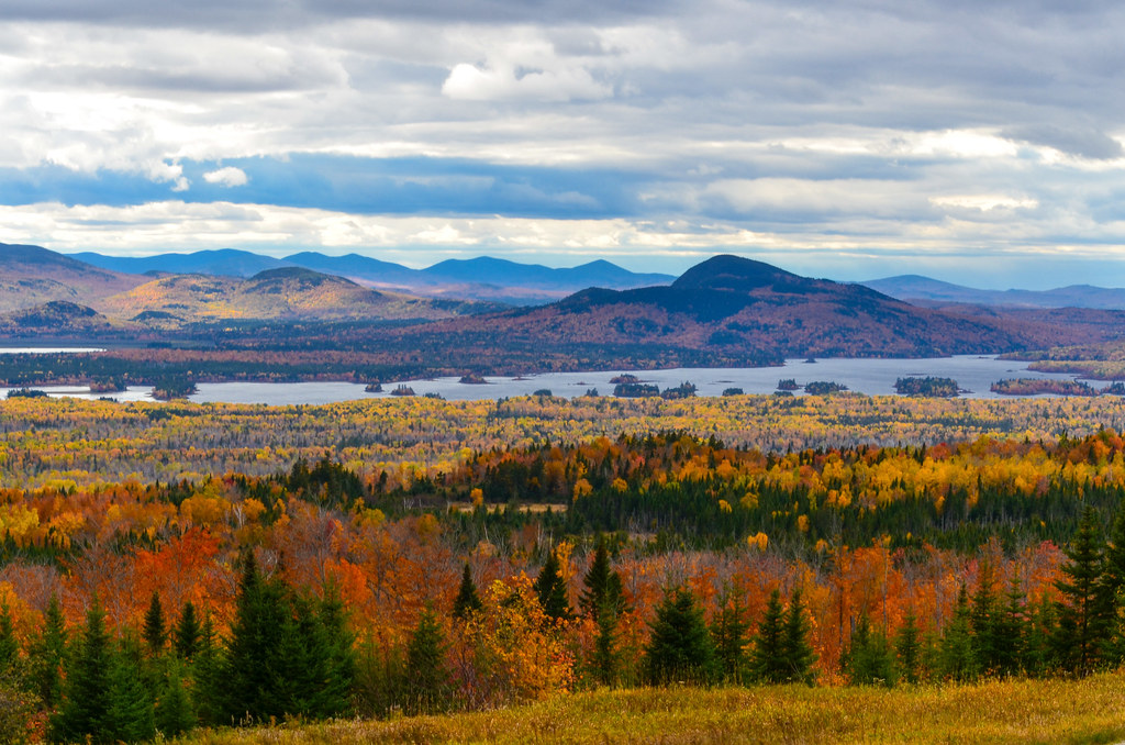
Related Photos:
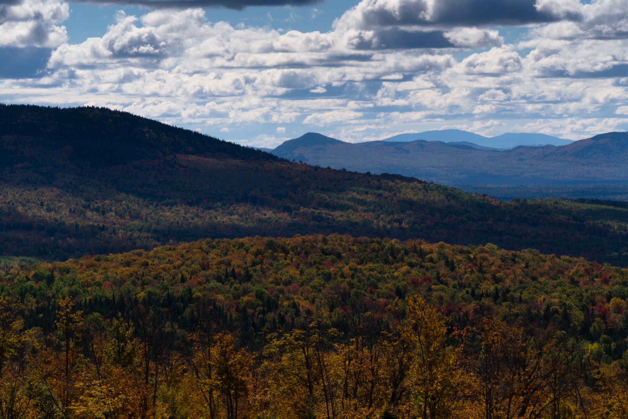
Colorful Mountains

14082011-IMG_3418

14082011-IMG_3419
Attean Pond
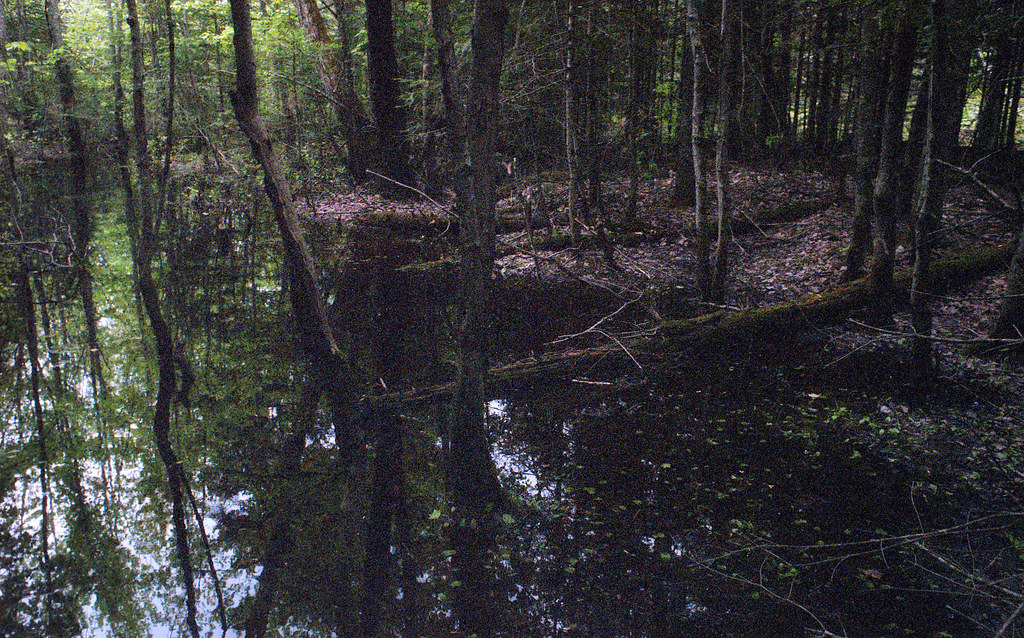
Moose River Bogan

looking back to Canada
Foliage & Haze
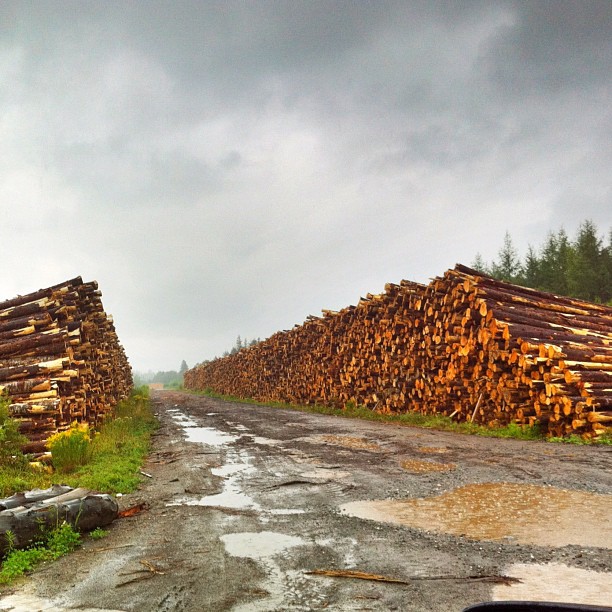
Logging operation in Maine.
quebec 2012-08-2011-23-13

14082011-IMG_3417
patch of color

Last rays of the setting sun
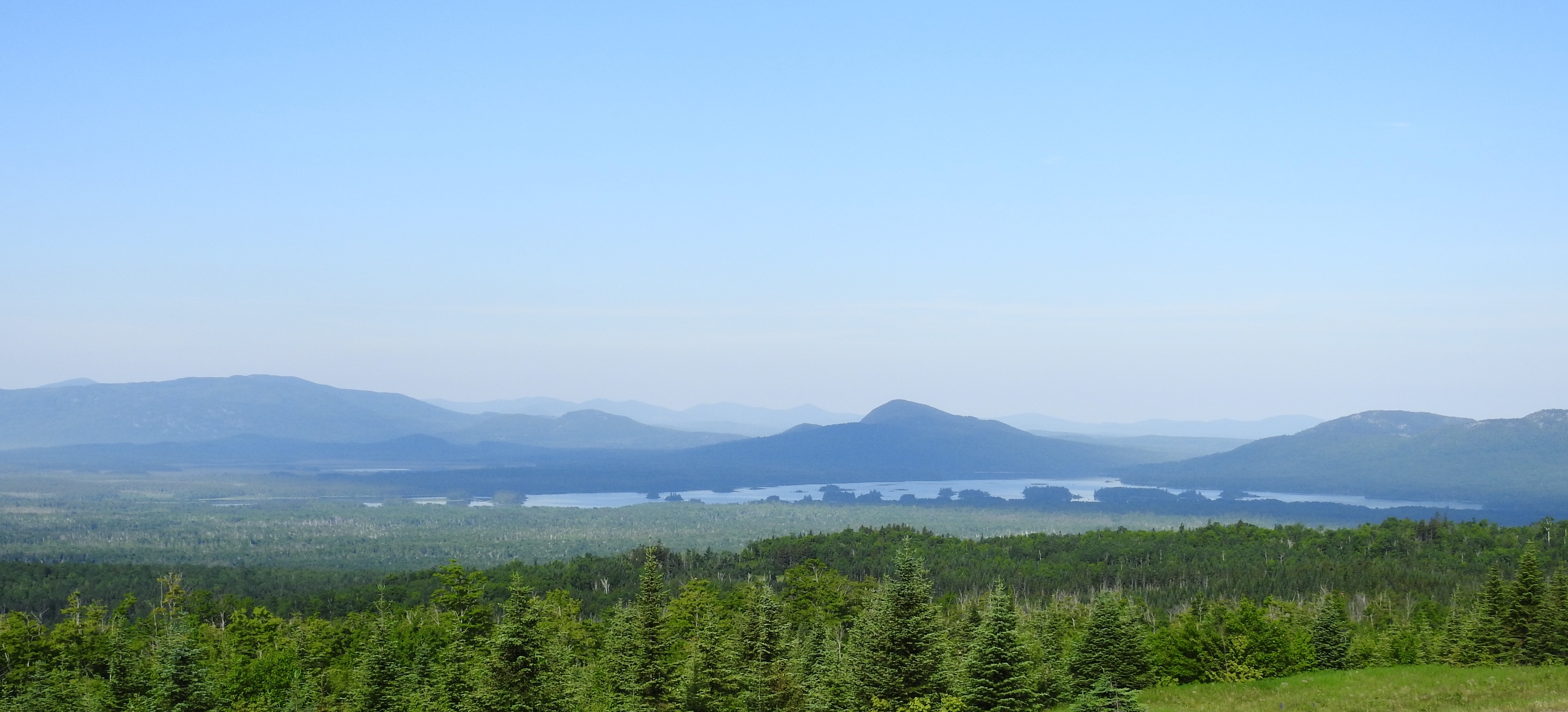
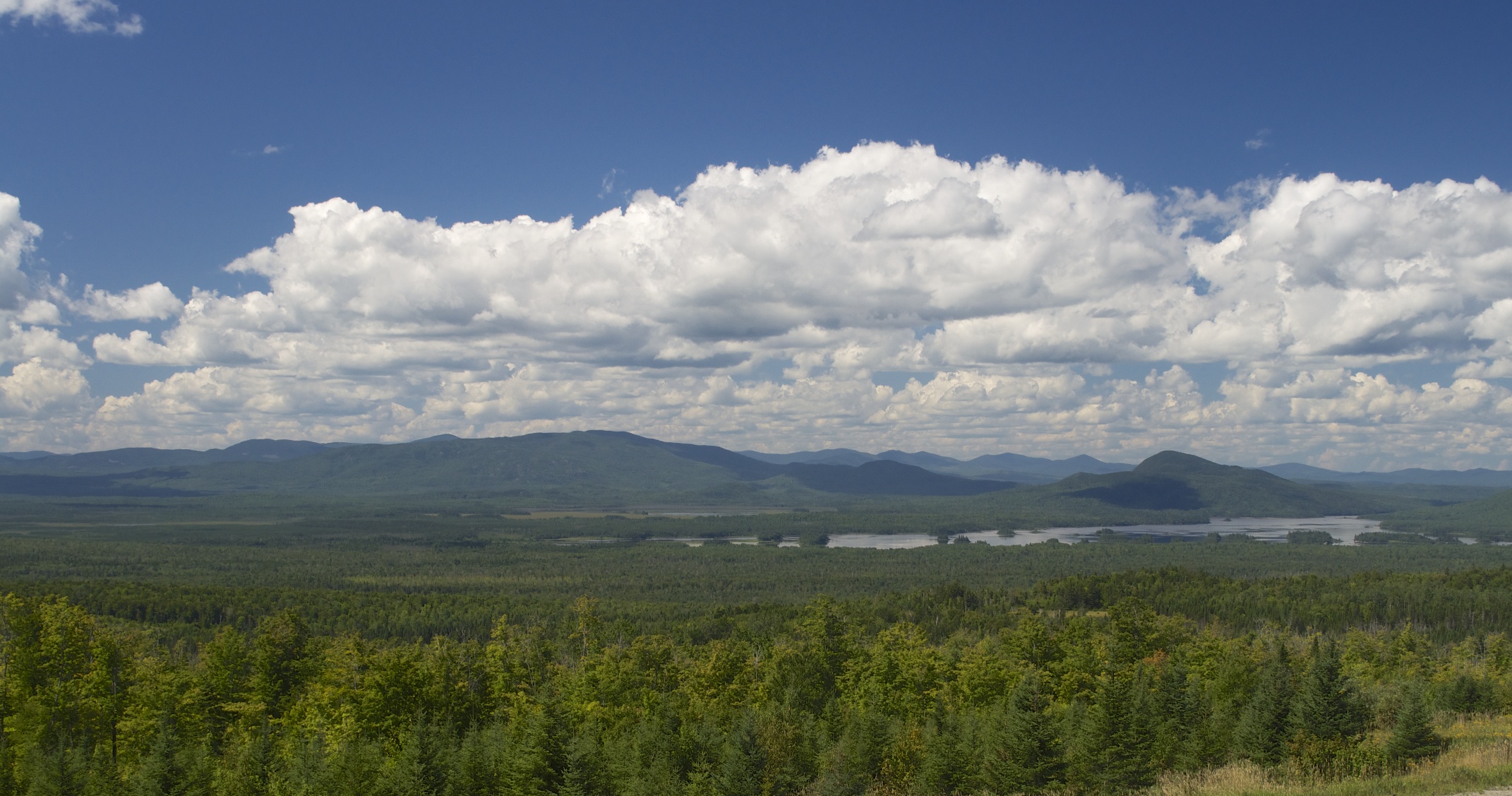
Upstate Maine Vista
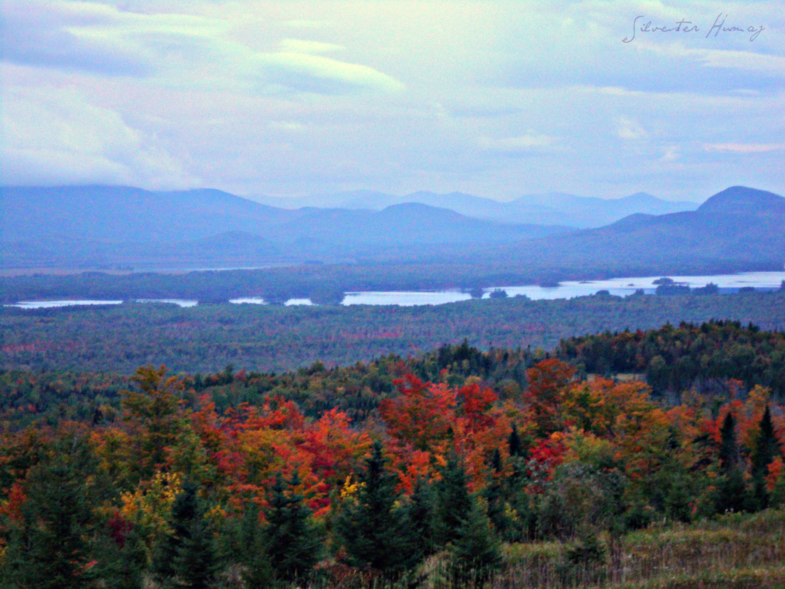
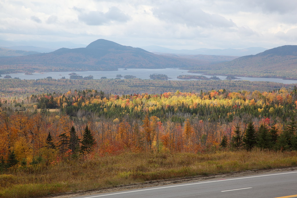
September Foliage

Goomba of Sally Mountain
Beautiful Fall Foliage [sooc]
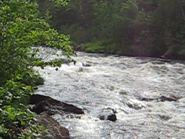
running the rapids below holeb falls 1
Robbins Hill Scenic Area - Maine - USA
Topographic Map of Jackman, ME, USA
Find elevation by address:

Places near Jackman, ME, USA:
263 Main St
Moose River Campground
Moose River
Long Pond
Lake Parlin Lodge & Cabins
Coburn Mountain
Somerset County
West Forks
Dead Stream Pond
Northeast Somerset
Brassua Lake
Little Magic Falls
The Forks
Lake Moxie Rd, West Forks, ME, USA
281 The Birches Rd
Mount Bigelow
Rockwood
Carrabassett Valley
1022 Spurline Rd
1020 Spurline Rd
Recent Searches:
- Elevation of Corso Fratelli Cairoli, 35, Macerata MC, Italy
- Elevation of Tallevast Rd, Sarasota, FL, USA
- Elevation of 4th St E, Sonoma, CA, USA
- Elevation of Black Hollow Rd, Pennsdale, PA, USA
- Elevation of Oakland Ave, Williamsport, PA, USA
- Elevation of Pedrógão Grande, Portugal
- Elevation of Klee Dr, Martinsburg, WV, USA
- Elevation of Via Roma, Pieranica CR, Italy
- Elevation of Tavkvetili Mountain, Georgia
- Elevation of Hartfords Bluff Cir, Mt Pleasant, SC, USA