Elevation of The Forks, ME, USA
Location: United States > Maine > Somerset County >
Longitude: -69.966327
Latitude: 45.3363954
Elevation: 184m / 604feet
Barometric Pressure: 99KPa
Elevation Map:
Satellite Map:
Related Photos:
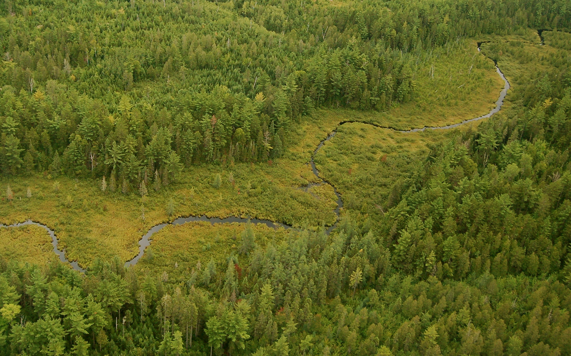
Carry Brook
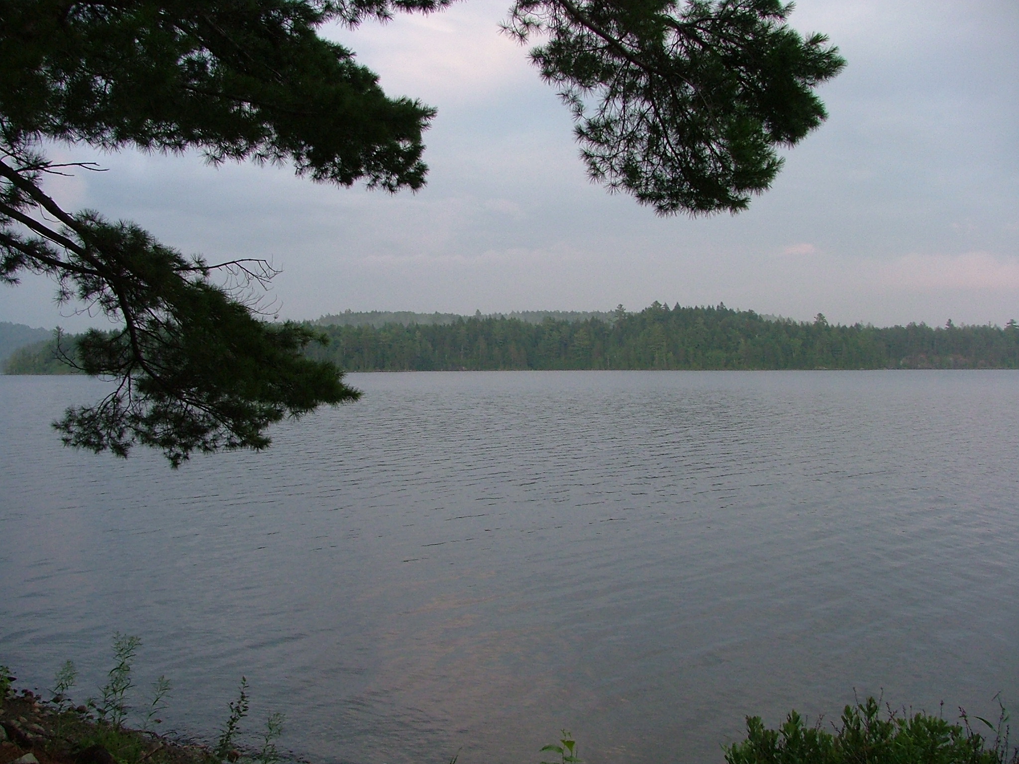
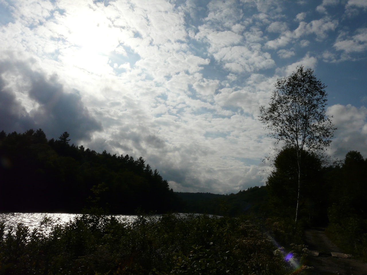
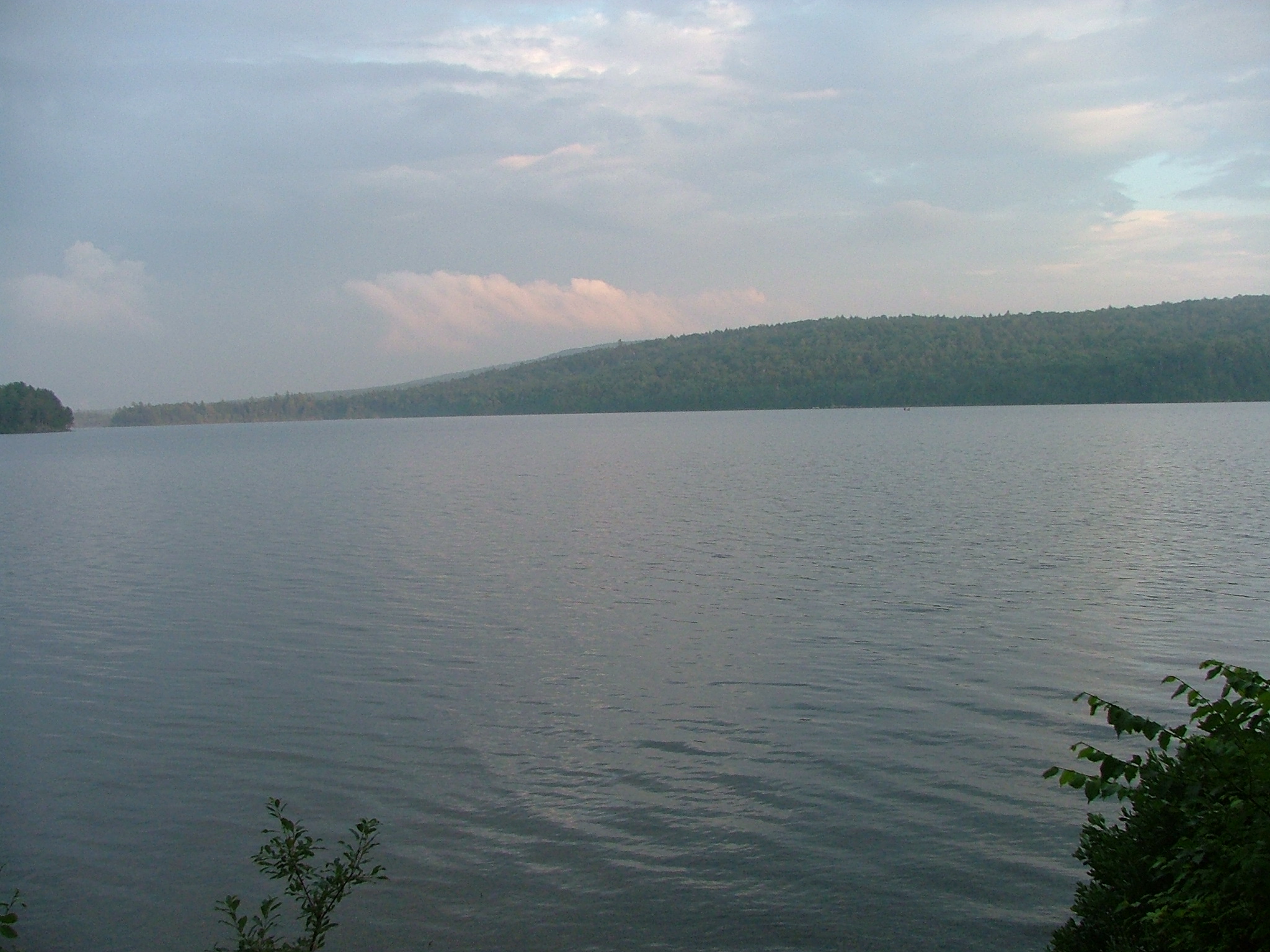
A View of the Pond
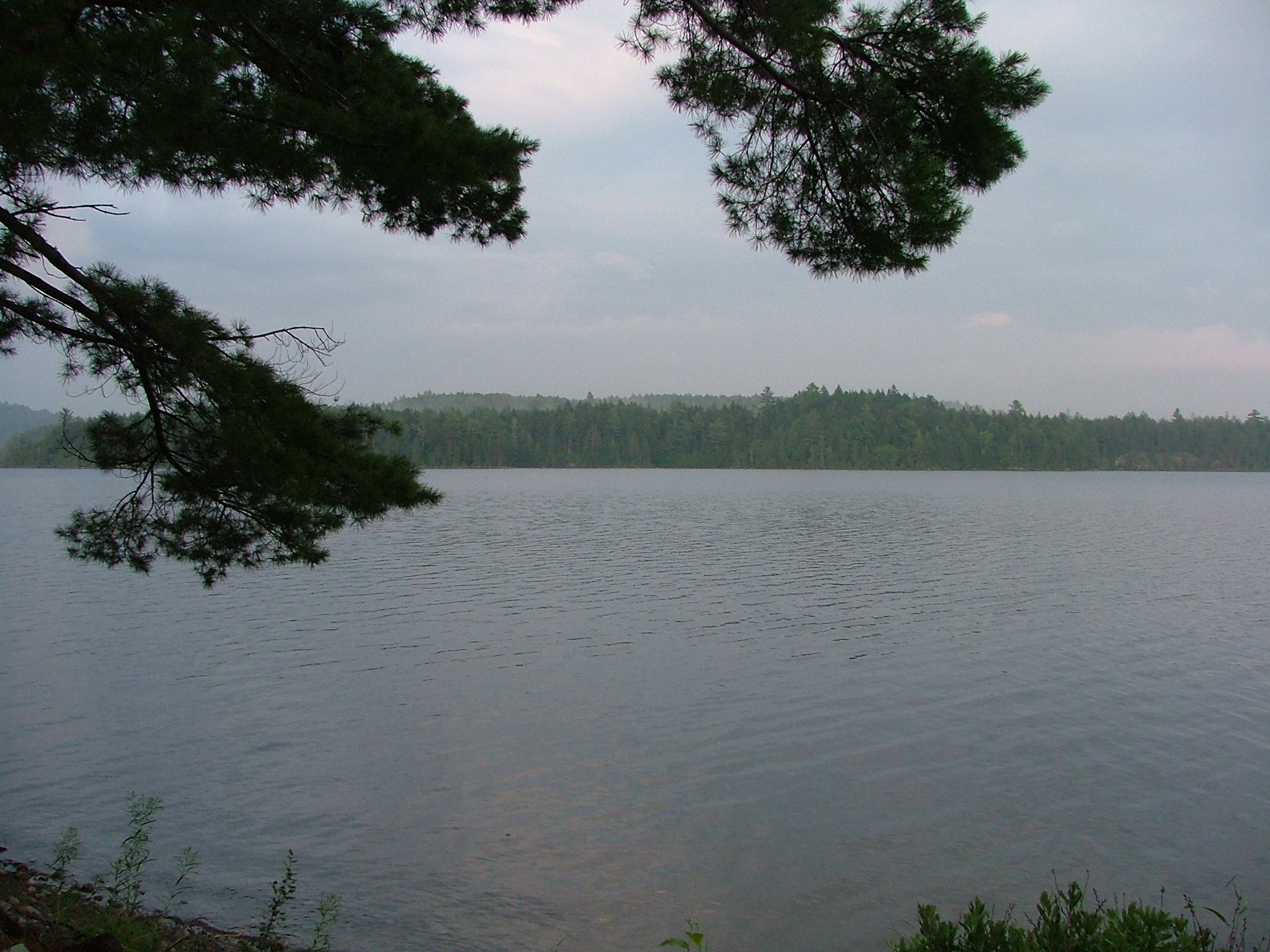
A View of the Pond

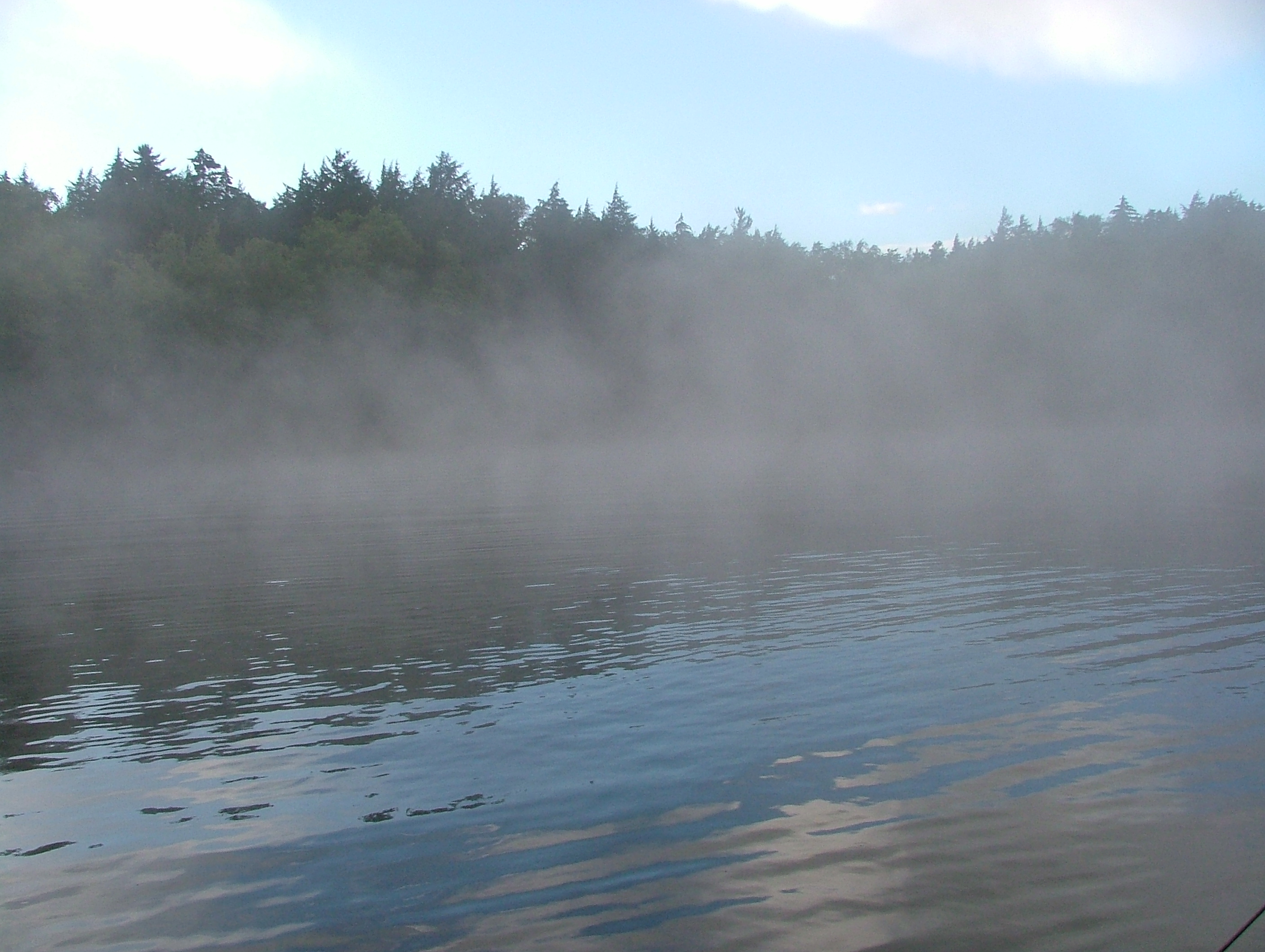
A View of the Pond

Sunset and Rays
DSCF1524.JPG

Sunset over the Pond

DSCF1500.JPG

Connor's View of the Dining Hall

Connor's View of the Dining Hall
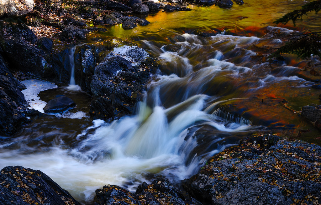
Moxie Falls, Maine

Moxie Falls, Maine
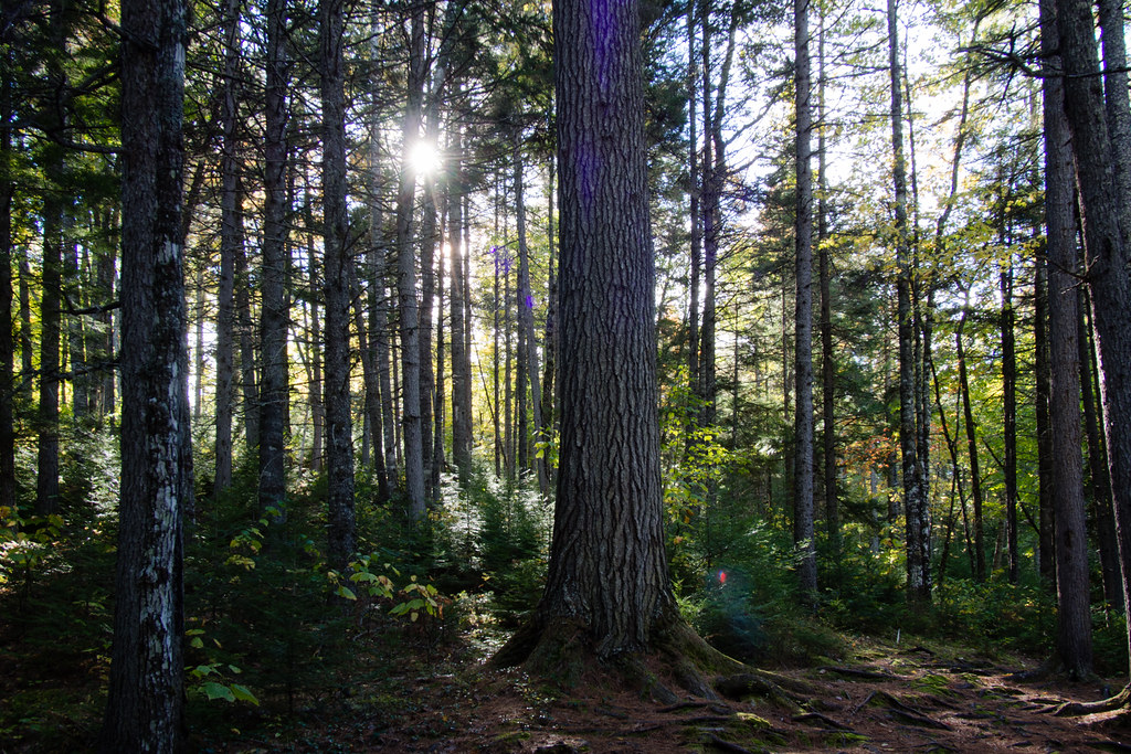
Backlit Forest

A Long Look at Moxie Falls
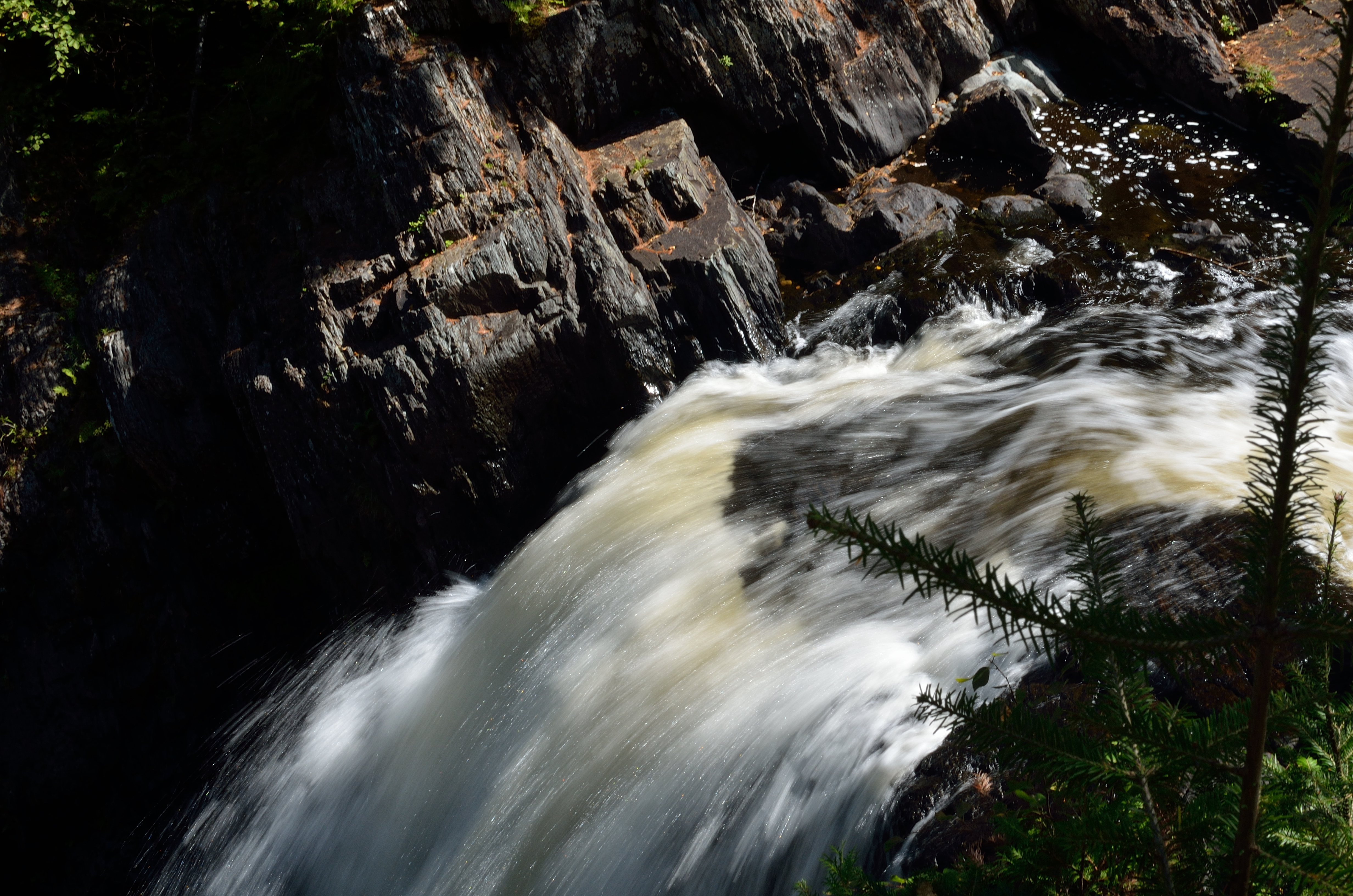
Experimenting with Moxie Falls
scenery along the dead river

Moxie Falls - The Forks, Maine 1

Moxie falls

Falls before the falls

Pont piétonnier - Pedestrrian bridge - The Forks, Maine
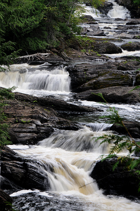
Moxie Falls -13

DSCF1542.JPG

DSCF1543.JPG

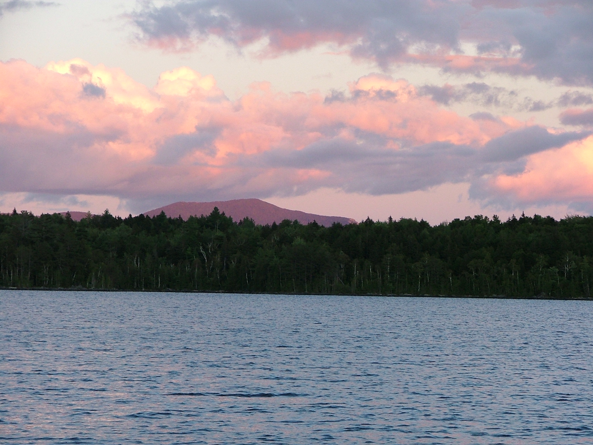
Moon over Pierce Pond

Moon over Pierce Pond

Moon Over Pierce Pond
Sunset over the Pond
DSCF1547.JPG
Topographic Map of The Forks, ME, USA
Find elevation by address:

Places in The Forks, ME, USA:
Places near The Forks, ME, USA:
West Forks
Lake Moxie Rd, West Forks, ME, USA
Dead Stream Pond
Little Magic Falls
Baker Pond
Coburn Mountain
Northeast Somerset
Lake Parlin Lodge & Cabins
Somerset County
Moscow
12 Mayfield Rd
Main St, Bingham, ME, USA
Bingham
Bingham
241 Main St
Main Street
21 Village St, Bingham, ME, USA
Long Pond
Brassua Lake
1022 Spurline Rd
Recent Searches:
- Elevation of Corso Fratelli Cairoli, 35, Macerata MC, Italy
- Elevation of Tallevast Rd, Sarasota, FL, USA
- Elevation of 4th St E, Sonoma, CA, USA
- Elevation of Black Hollow Rd, Pennsdale, PA, USA
- Elevation of Oakland Ave, Williamsport, PA, USA
- Elevation of Pedrógão Grande, Portugal
- Elevation of Klee Dr, Martinsburg, WV, USA
- Elevation of Via Roma, Pieranica CR, Italy
- Elevation of Tavkvetili Mountain, Georgia
- Elevation of Hartfords Bluff Cir, Mt Pleasant, SC, USA