Elevation of JÄVSJÖN, 05 Järpen, Sweden
Location: Sweden > Jamtland County > Åre N >
Longitude: 13.0416697
Latitude: 64.058639
Elevation: 451m / 1480feet
Barometric Pressure: 96KPa
Elevation Map:
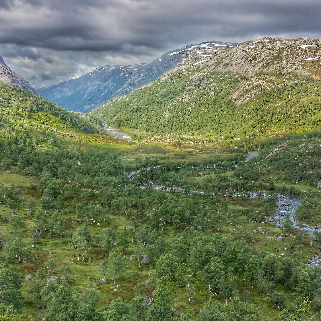
Satellite Map:
Related Photos:
IMG_20150716_195949
Topographic Map of JÄVSJÖN, 05 Järpen, Sweden
Find elevation by address:

Places near JÄVSJÖN, 05 Järpen, Sweden:
Björkede
Björkede, 05 Järpen, Sweden
Blåfjella-skjækerfjella Nasjonalpark
Åre N
Åre Municipality
Åreskutan
Rodkullen
Skistarshop Åre Torg
Åre
Duved
Björnen Norra Hermelinen
Krokom Nv
Lierne
Nyland
Järpen
Tallstigen 11, 05 Järpen, Sweden
Rv 60, Sørli, Norway
Skåle
Björkvattnet
Björkvattnet, 90 Gäddede, Sweden
Recent Searches:
- Elevation of Corso Fratelli Cairoli, 35, Macerata MC, Italy
- Elevation of Tallevast Rd, Sarasota, FL, USA
- Elevation of 4th St E, Sonoma, CA, USA
- Elevation of Black Hollow Rd, Pennsdale, PA, USA
- Elevation of Oakland Ave, Williamsport, PA, USA
- Elevation of Pedrógão Grande, Portugal
- Elevation of Klee Dr, Martinsburg, WV, USA
- Elevation of Via Roma, Pieranica CR, Italy
- Elevation of Tavkvetili Mountain, Georgia
- Elevation of Hartfords Bluff Cir, Mt Pleasant, SC, USA