Elevation of 13 Åre, Sweden
Location: Sweden > Jamtland County > Åre Municipality >
Longitude: 13.0815059
Latitude: 63.3990428
Elevation: 379m / 1243feet
Barometric Pressure: 97KPa
Elevation Map:
Satellite Map:
Related Photos:
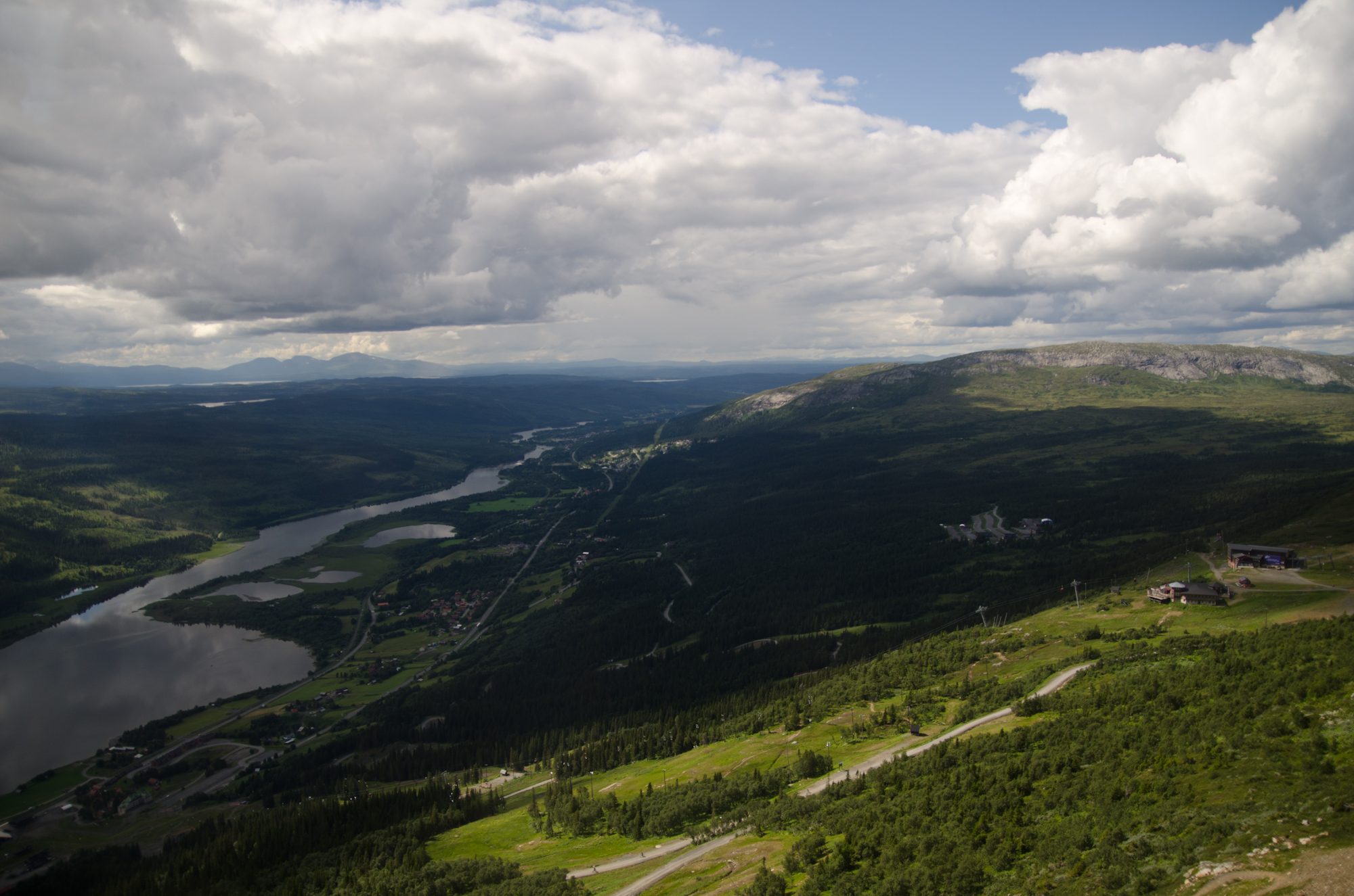
At the top of the world...
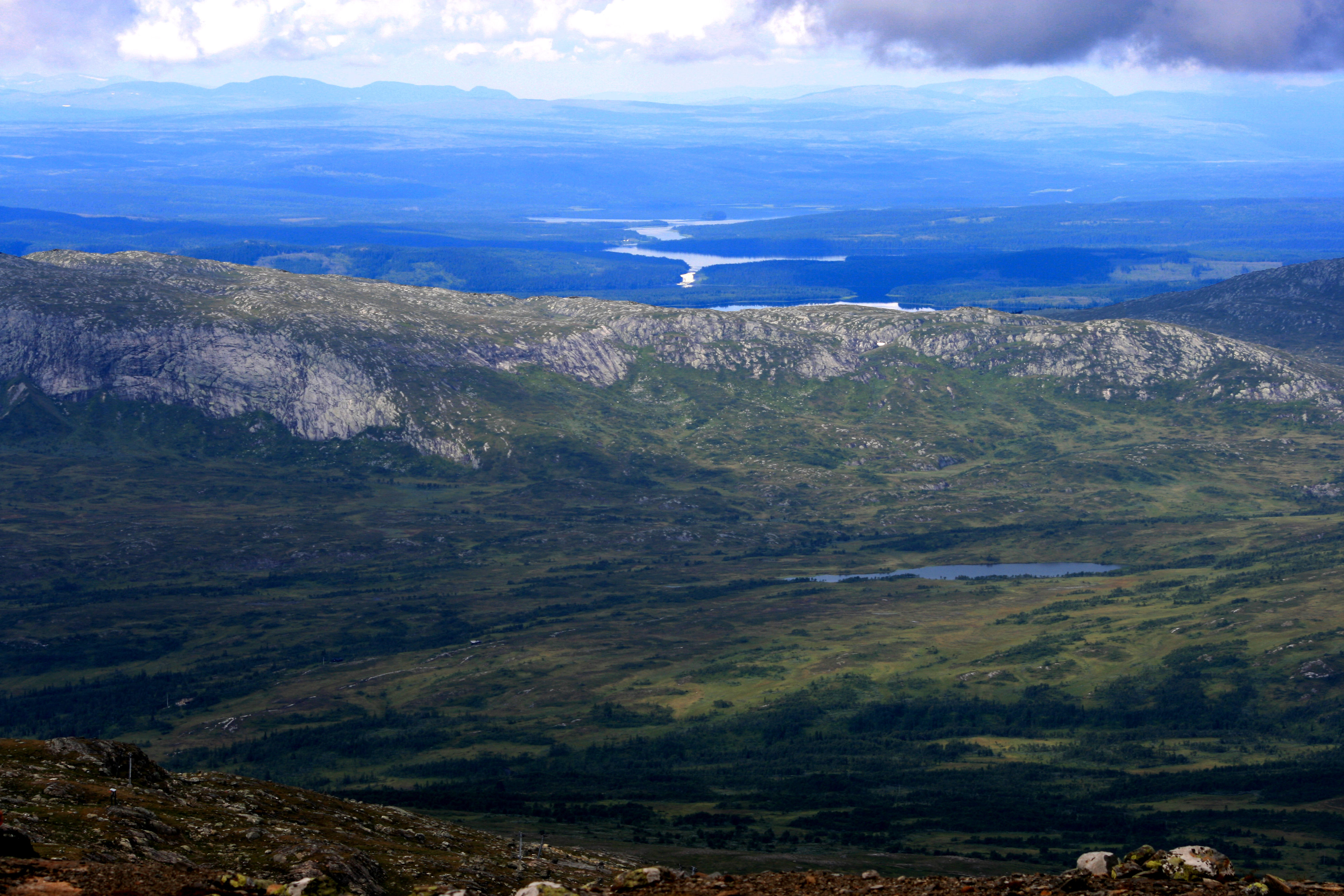
Bjömänge - View from the Koppermine
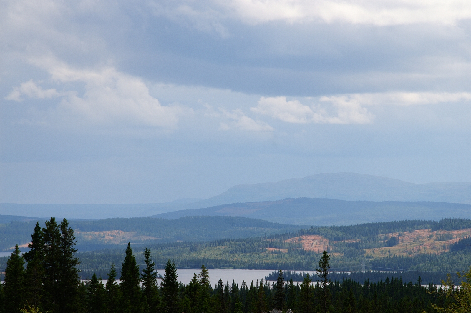
The View
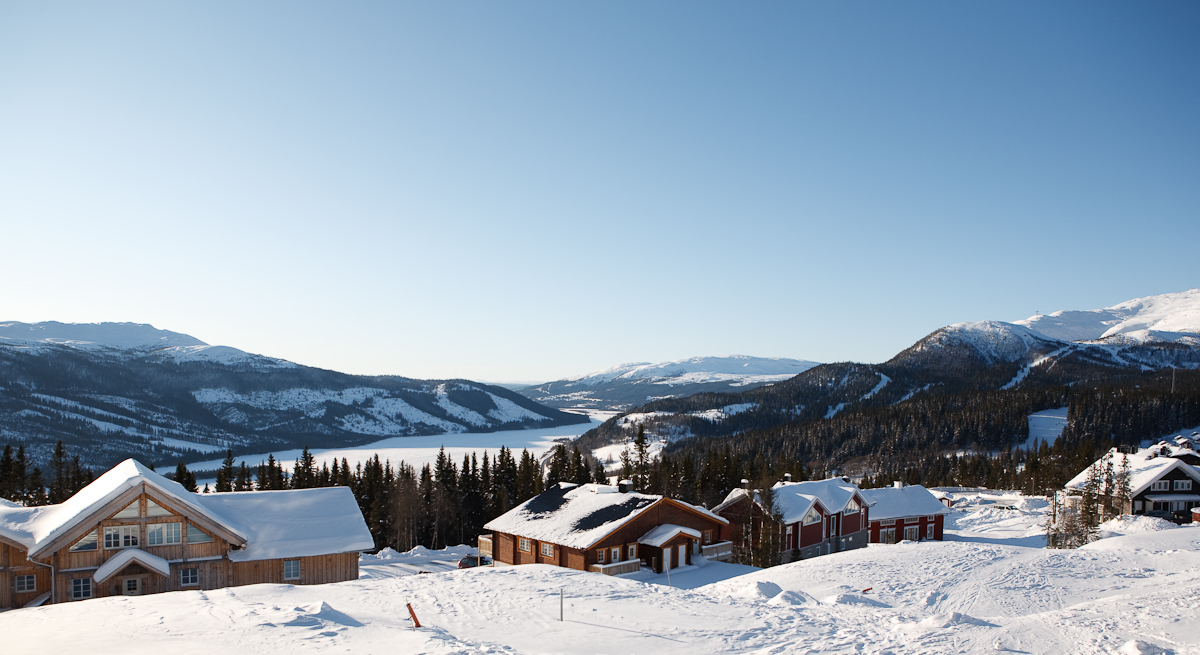
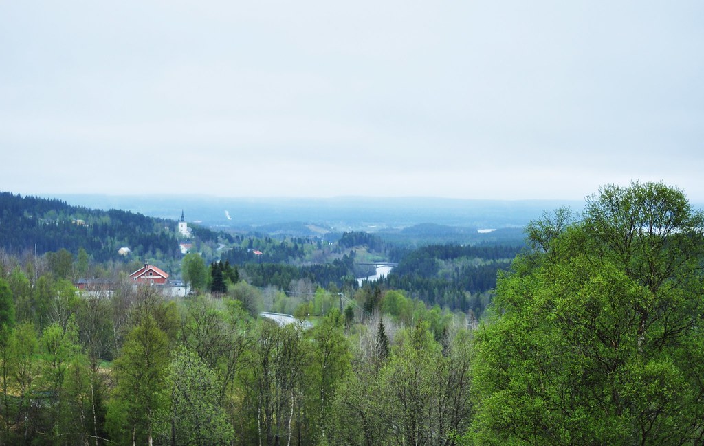
Åre in Summer
134/365.
Topographic Map of 13 Åre, Sweden
Find elevation by address:

Places near 13 Åre, Sweden:
Skistarshop Åre Torg
Åreskutan
Rodkullen
Björnen Norra Hermelinen
Duved
Åre N
Nyland
Järpen
Tallstigen 11, 05 Järpen, Sweden
Åre Municipality
Björkede
Björkede, 05 Järpen, Sweden
JÄVSJÖN, 05 Järpen, Sweden
Nordbyn
Krokom Nv
Övre ÖNET, 51 Offerdal, Sweden
Blåfjella-skjækerfjella Nasjonalpark
Offne, 47 Trångsviken, Sweden
Offne
Rv 60, Sørli, Norway
Recent Searches:
- Elevation of Corso Fratelli Cairoli, 35, Macerata MC, Italy
- Elevation of Tallevast Rd, Sarasota, FL, USA
- Elevation of 4th St E, Sonoma, CA, USA
- Elevation of Black Hollow Rd, Pennsdale, PA, USA
- Elevation of Oakland Ave, Williamsport, PA, USA
- Elevation of Pedrógão Grande, Portugal
- Elevation of Klee Dr, Martinsburg, WV, USA
- Elevation of Via Roma, Pieranica CR, Italy
- Elevation of Tavkvetili Mountain, Georgia
- Elevation of Hartfords Bluff Cir, Mt Pleasant, SC, USA