Elevation map of Åre N, Sweden
Location: Sweden > Jamtland County >
Longitude: 12.9329569
Latitude: 63.6616918
Elevation: 381m / 1250feet
Barometric Pressure: 97KPa
Elevation Map:
Satellite Map:
Related Photos:
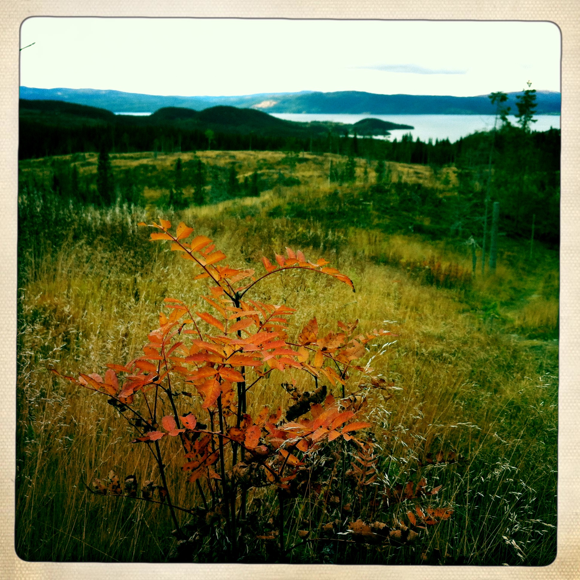
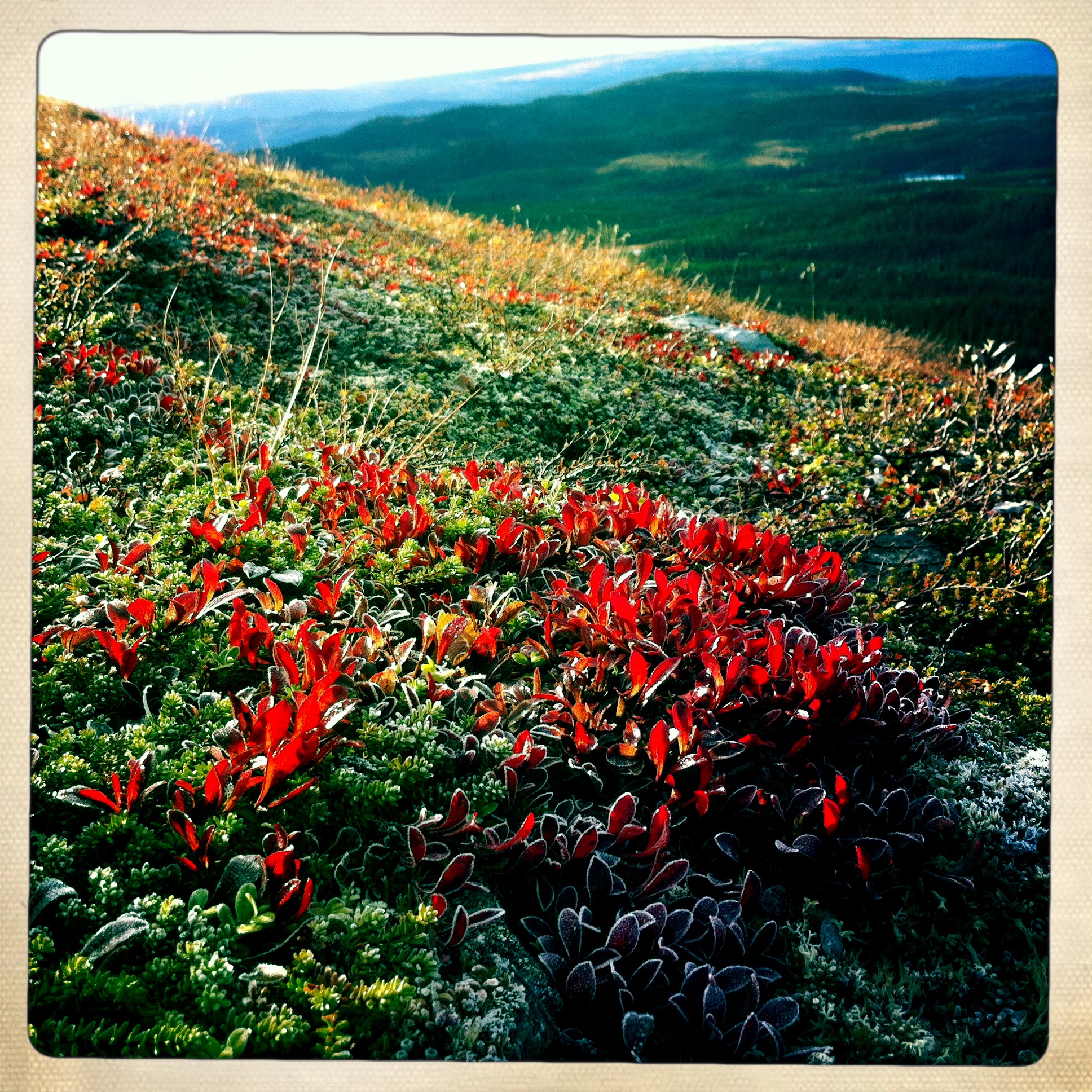
Jämtland-102
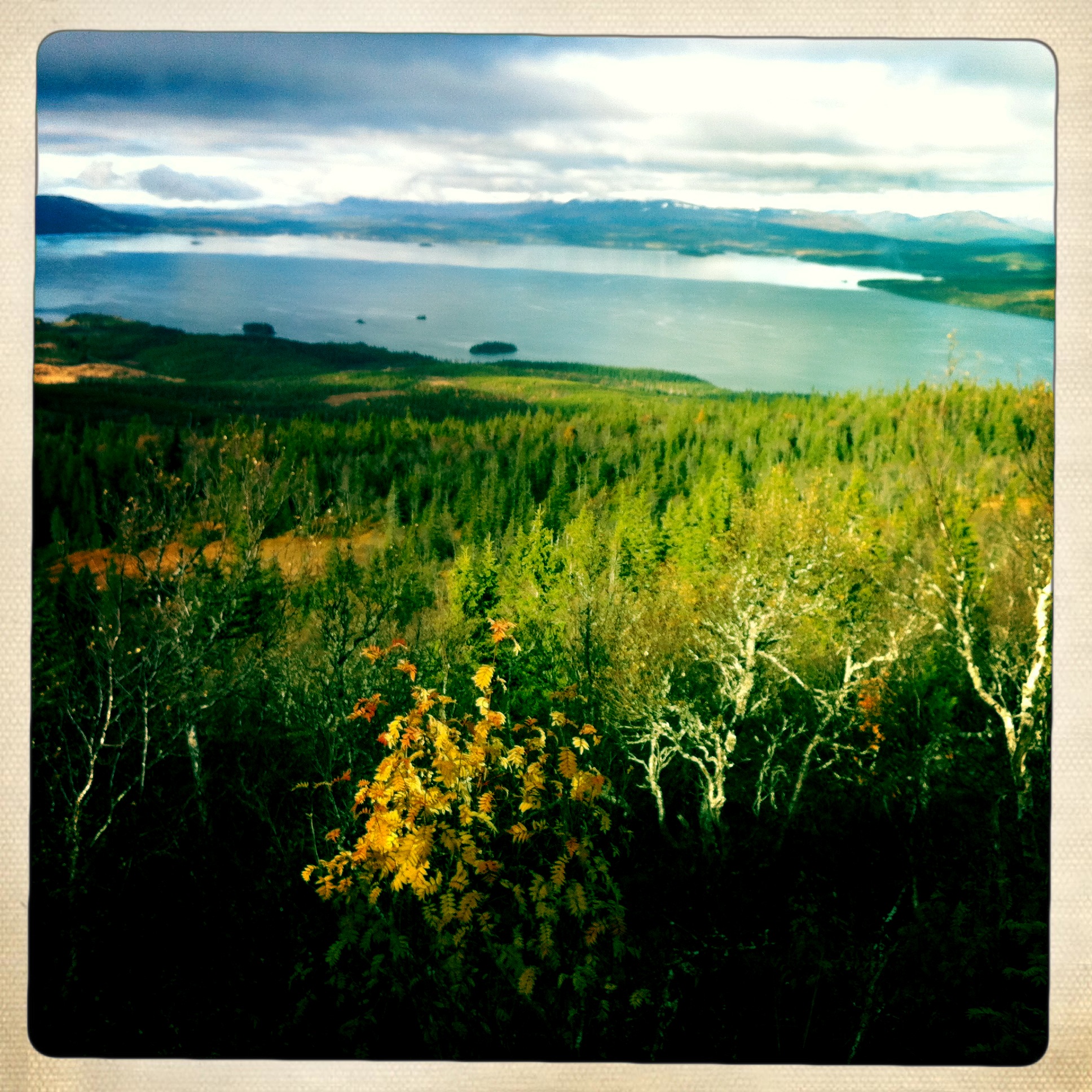
Jämtland-046
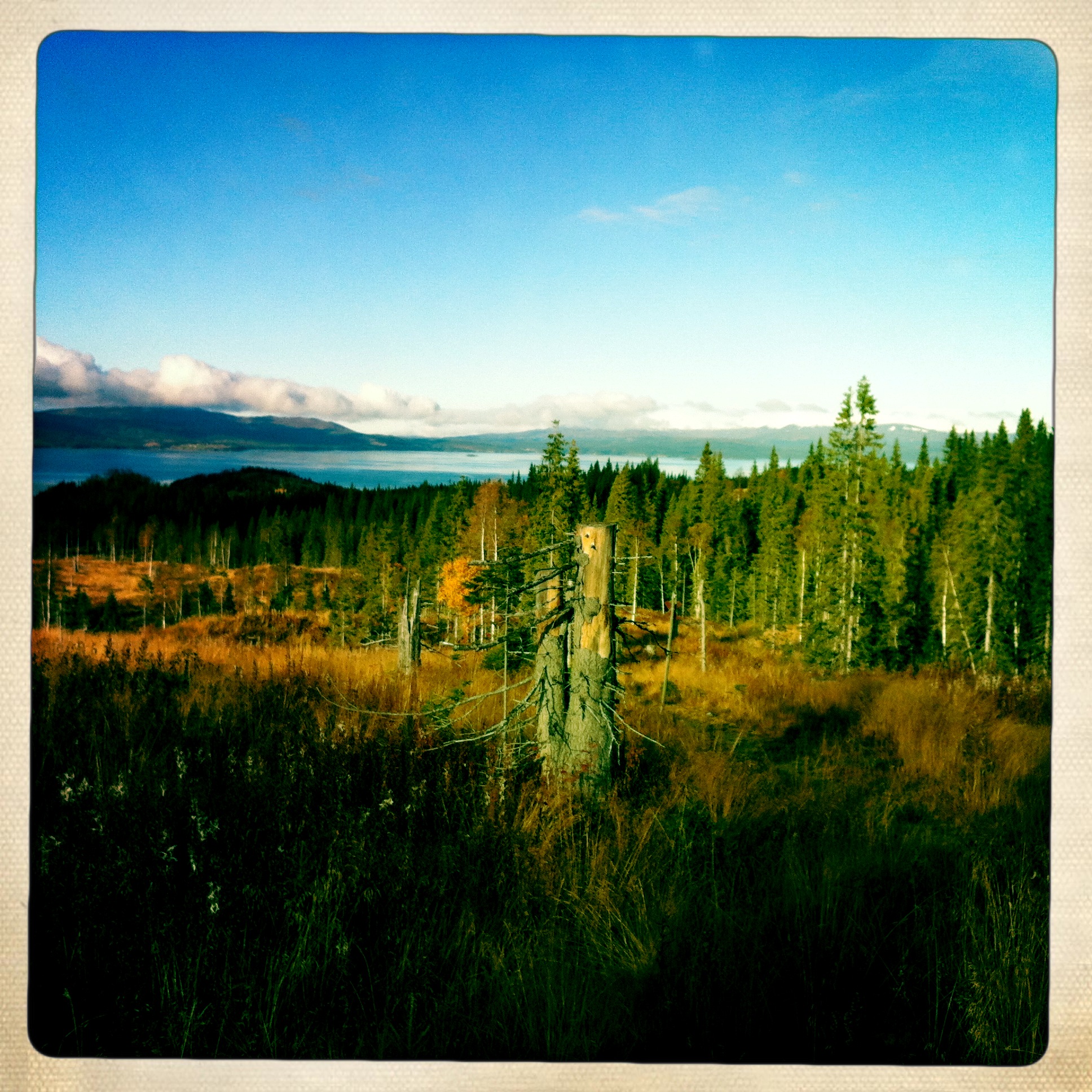
Jämtland-034
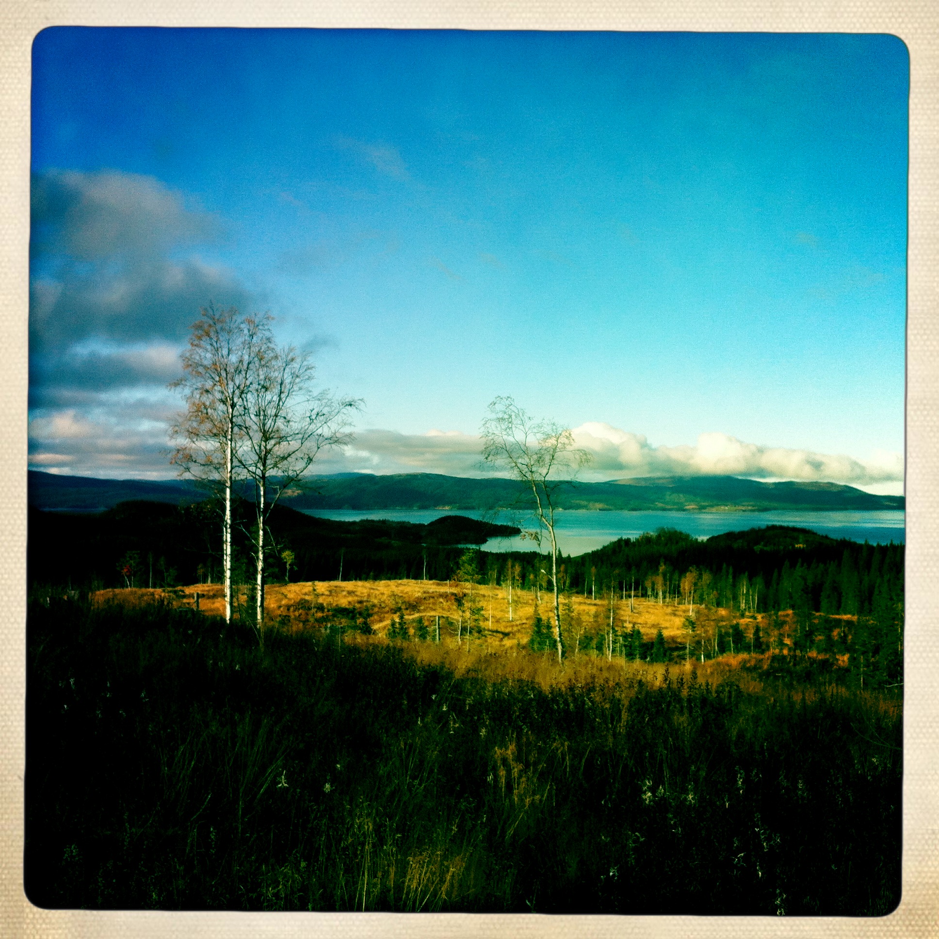
Jämtland-035
Jämtland-047
Jämtland-066
Jämtland-073
Jämtland-051
Jämtland-050
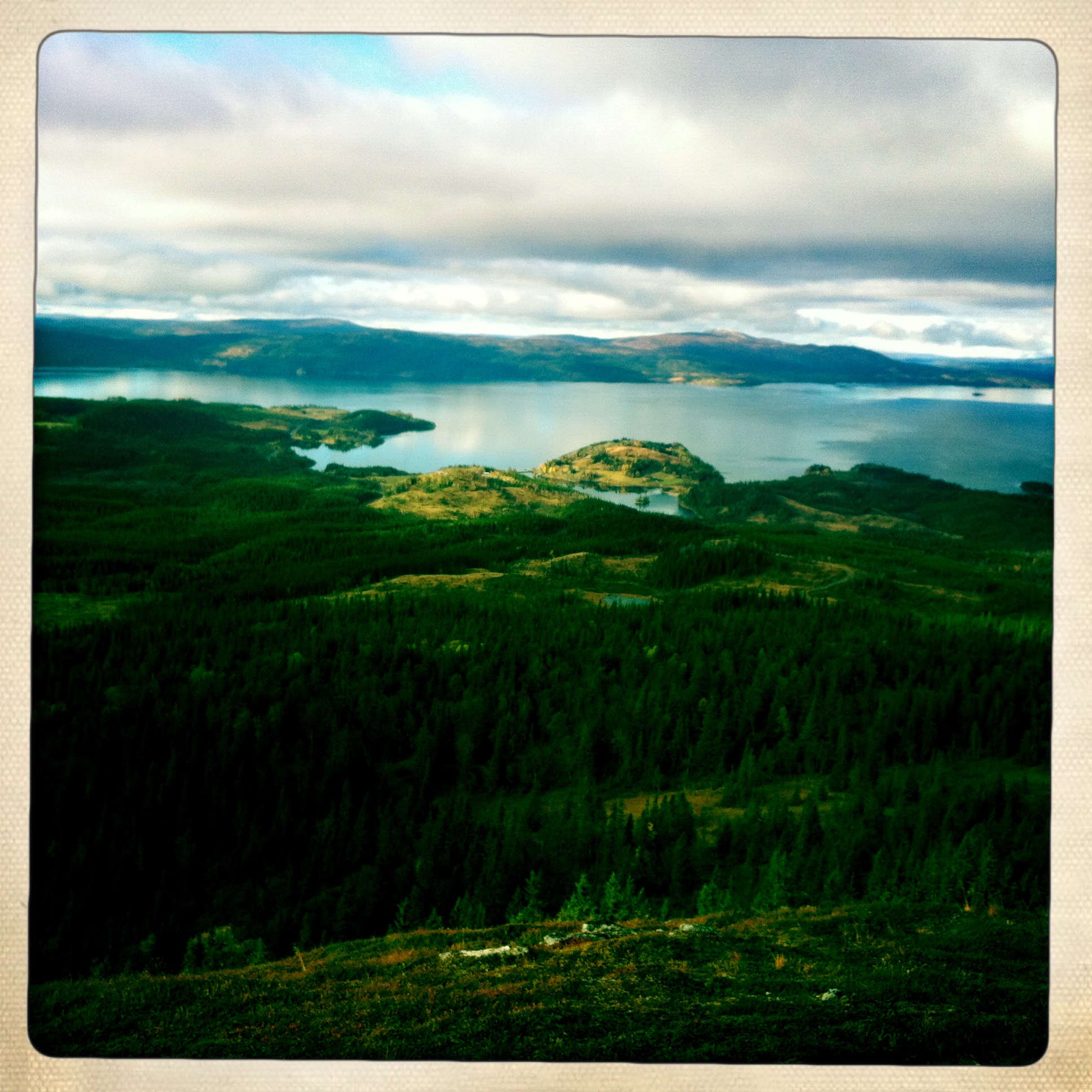
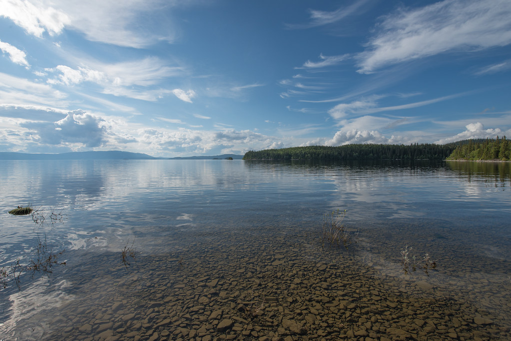
Överäng
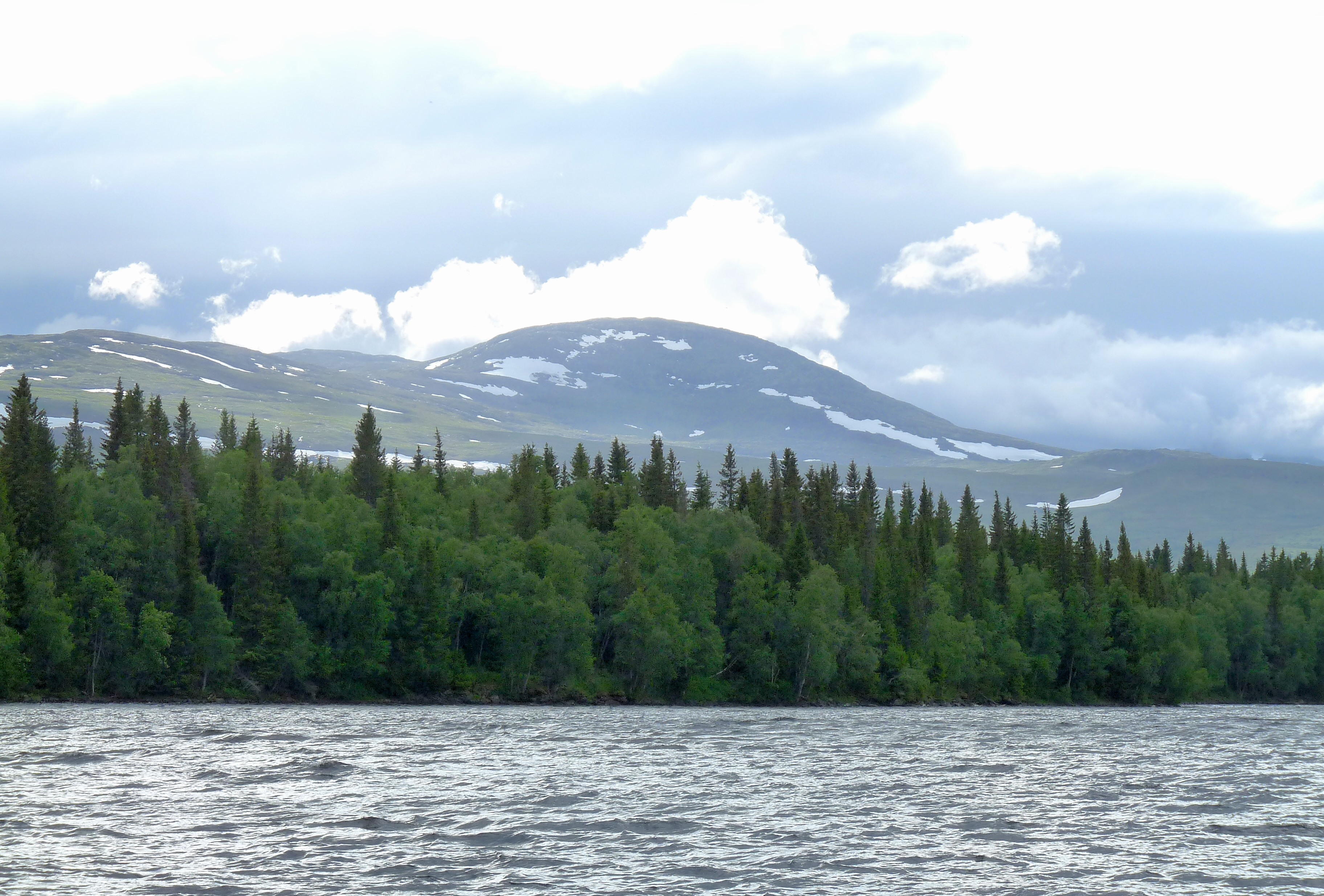
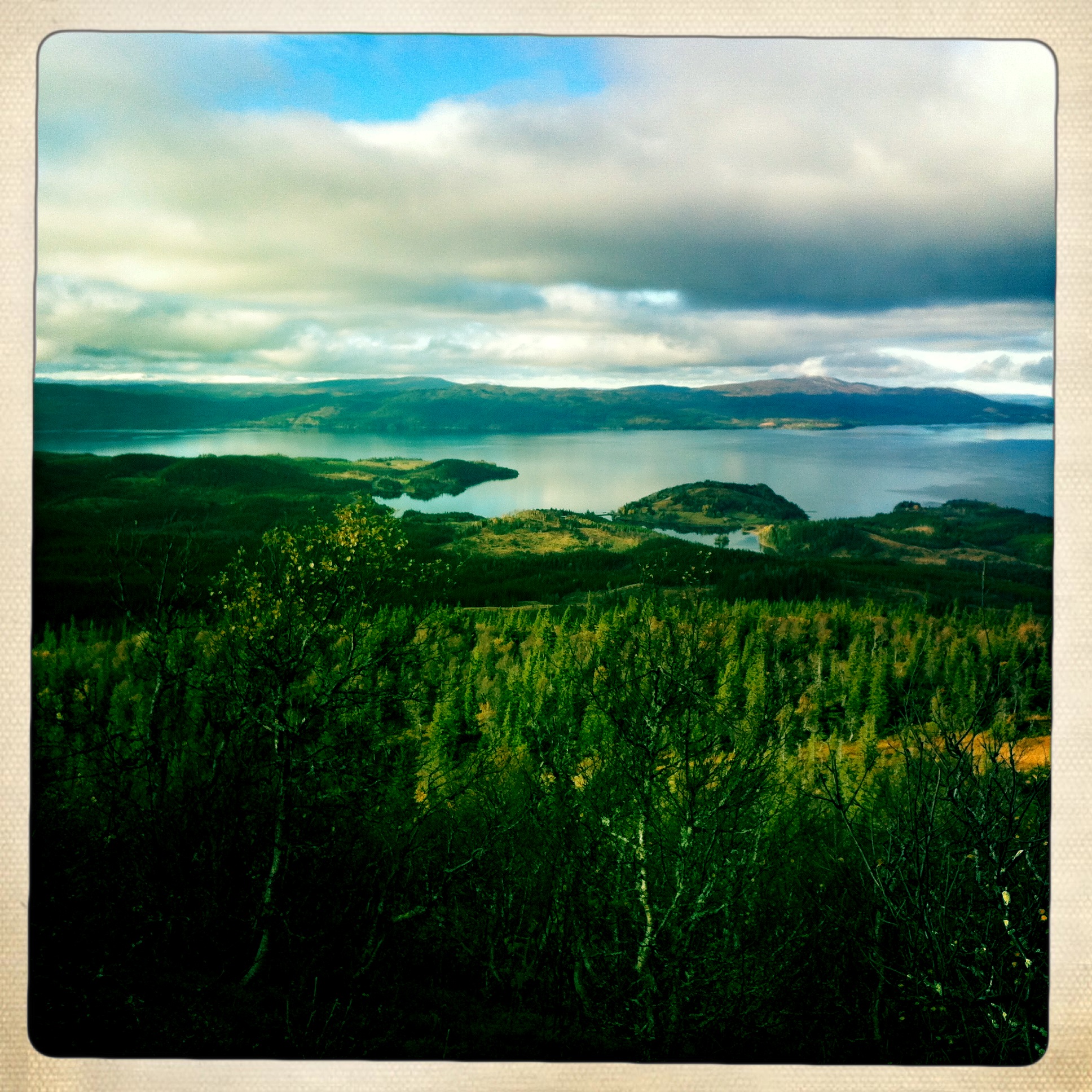
Rainclouds coming
JPAS20150826-2642.jpg
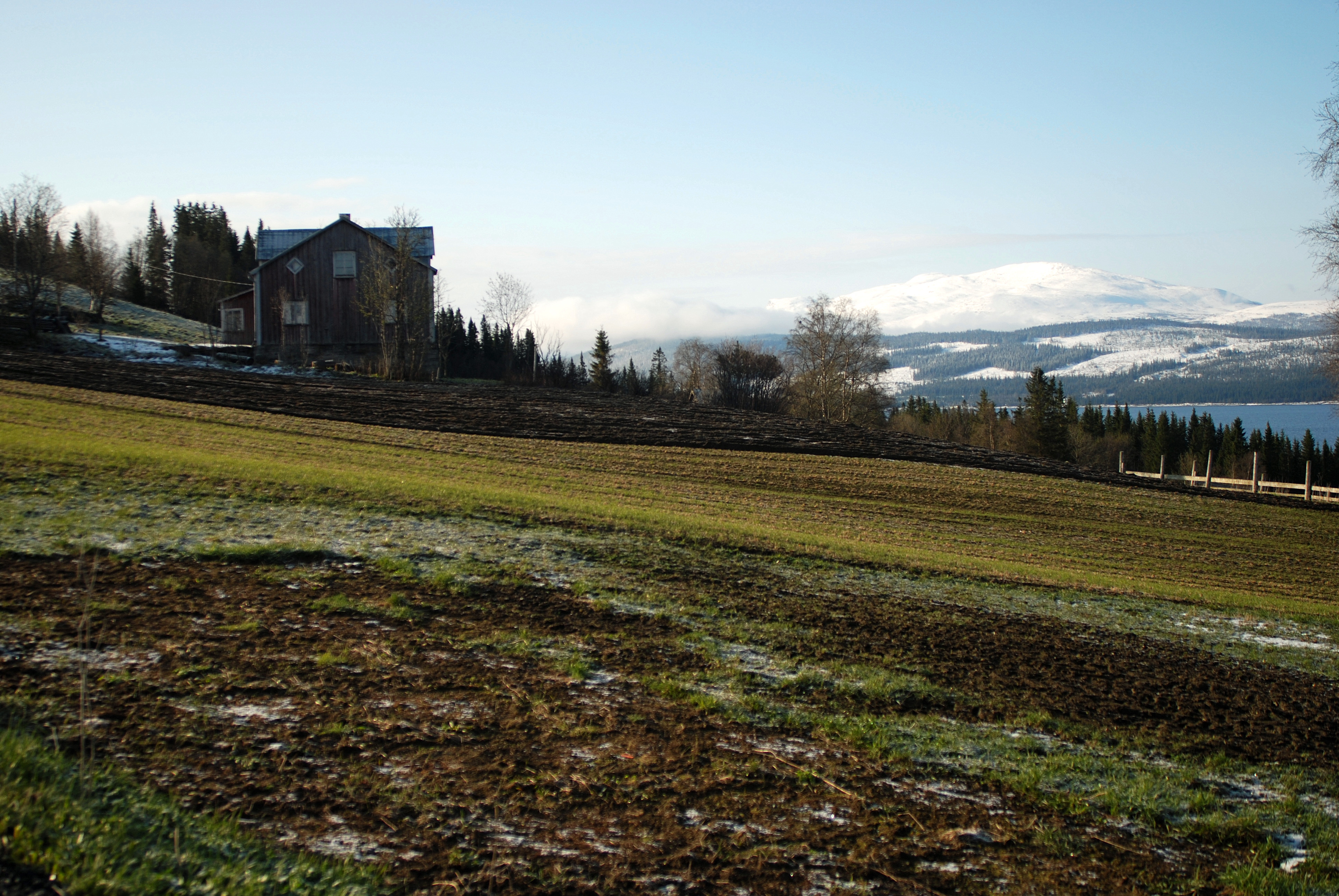
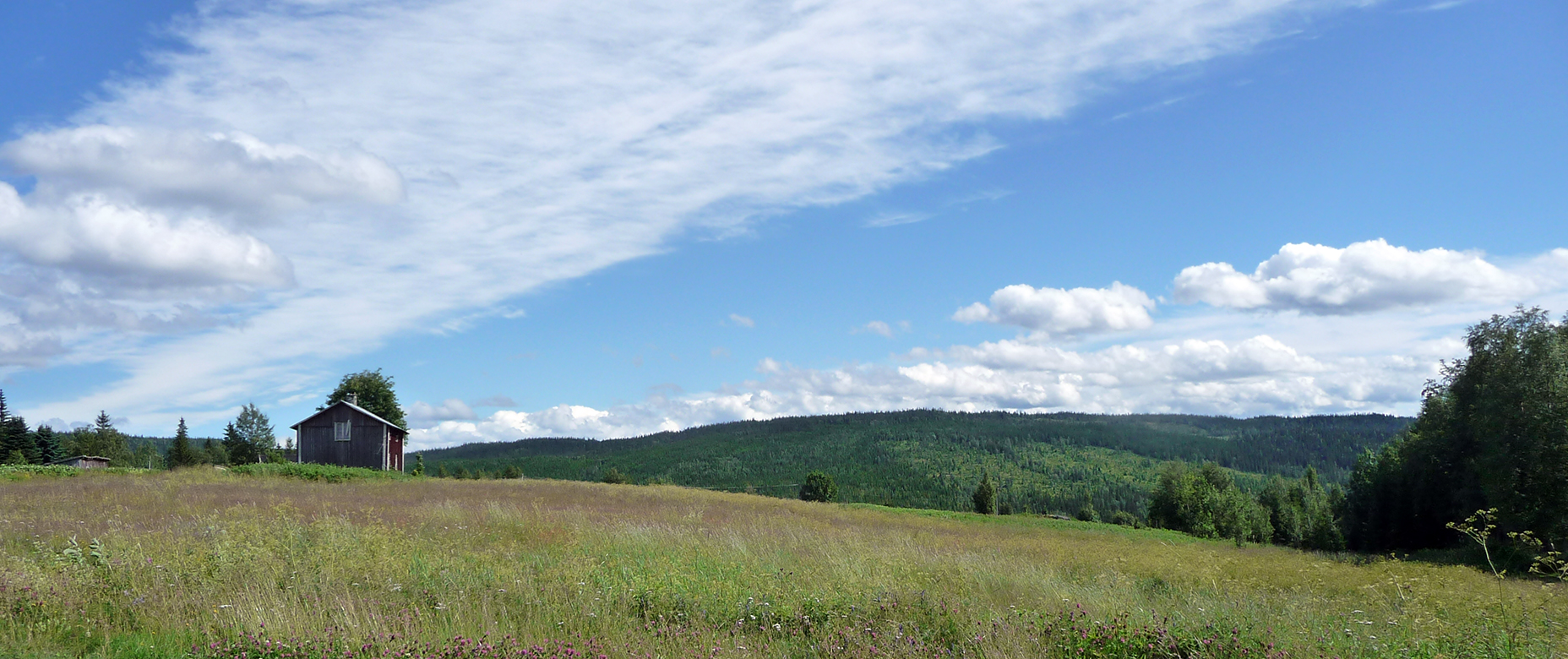
Farming in the north
Topographic Map of Åre N, Sweden
Find elevation by address:

Places in Åre N, Sweden:
Places near Åre N, Sweden:
Åre Municipality
Rodkullen
Duved
Åreskutan
Skistarshop Åre Torg
Åre
Björnen Norra Hermelinen
Björkede
Björkede, 05 Järpen, Sweden
JÄVSJÖN, 05 Järpen, Sweden
Nyland
Järpen
Tallstigen 11, 05 Järpen, Sweden
Blåfjella-skjækerfjella Nasjonalpark
Krokom Nv
Nordbyn
Övre ÖNET, 51 Offerdal, Sweden
Lierne
Rv 60, Sørli, Norway
Skåle
Recent Searches:
- Elevation of Corso Fratelli Cairoli, 35, Macerata MC, Italy
- Elevation of Tallevast Rd, Sarasota, FL, USA
- Elevation of 4th St E, Sonoma, CA, USA
- Elevation of Black Hollow Rd, Pennsdale, PA, USA
- Elevation of Oakland Ave, Williamsport, PA, USA
- Elevation of Pedrógão Grande, Portugal
- Elevation of Klee Dr, Martinsburg, WV, USA
- Elevation of Via Roma, Pieranica CR, Italy
- Elevation of Tavkvetili Mountain, Georgia
- Elevation of Hartfords Bluff Cir, Mt Pleasant, SC, USA