Elevation of J H Green Rd, Tonasket, WA, USA
Location: United States > Washington > Okanogan County > Tonasket >
Longitude: -119.31964
Latitude: 48.580266
Elevation: 1067m / 3501feet
Barometric Pressure: 89KPa
Elevation Map:
Satellite Map:
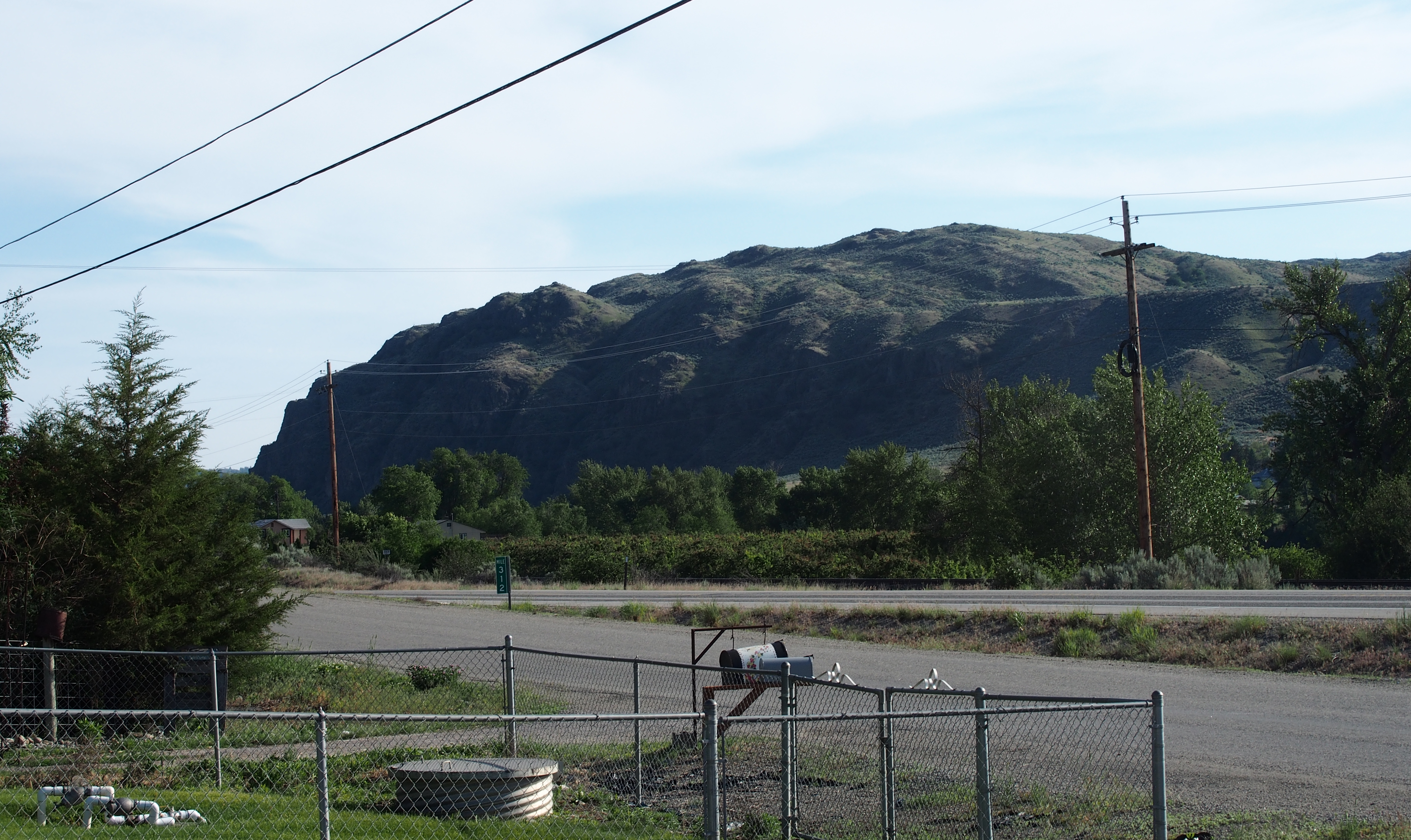
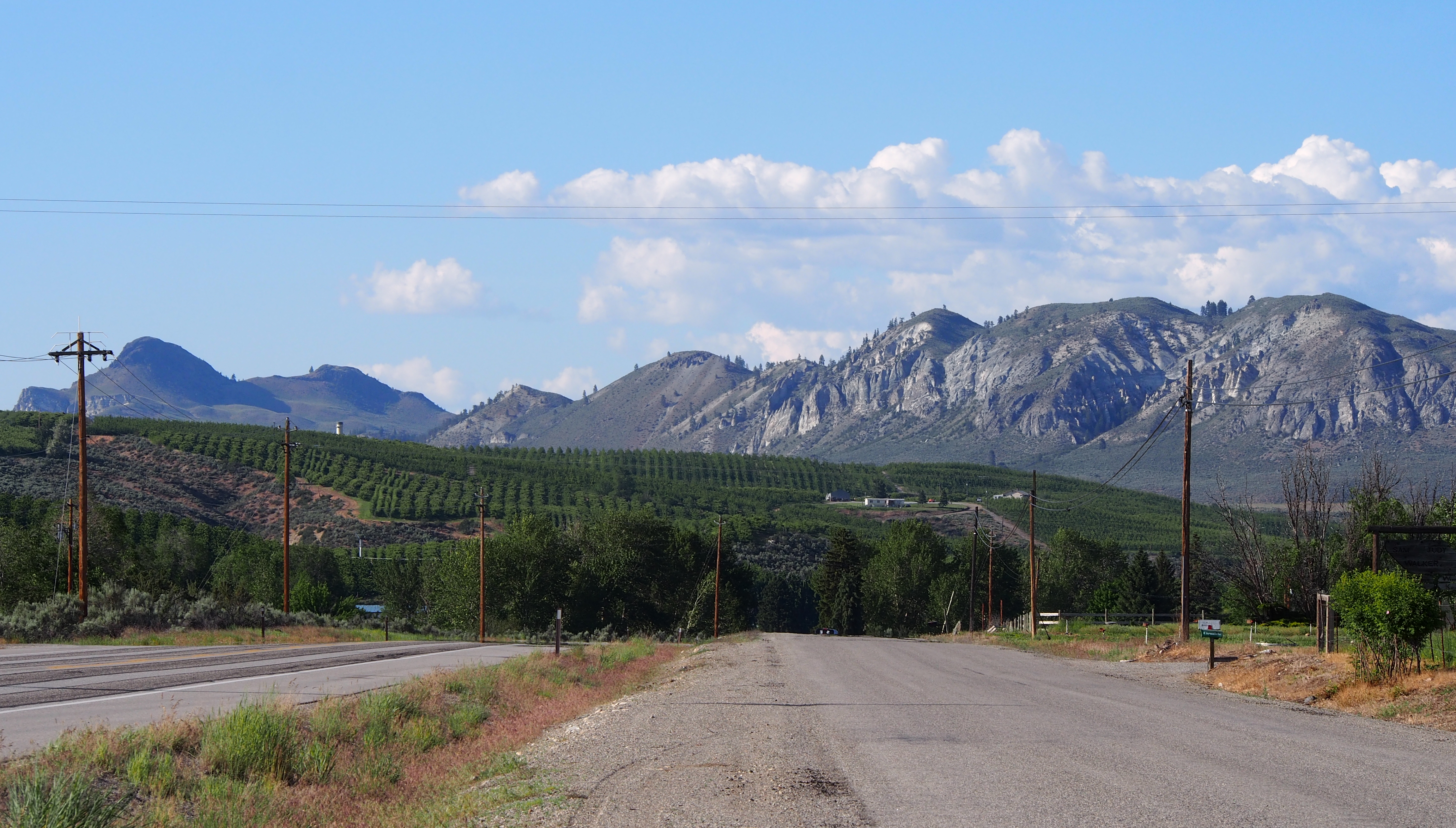
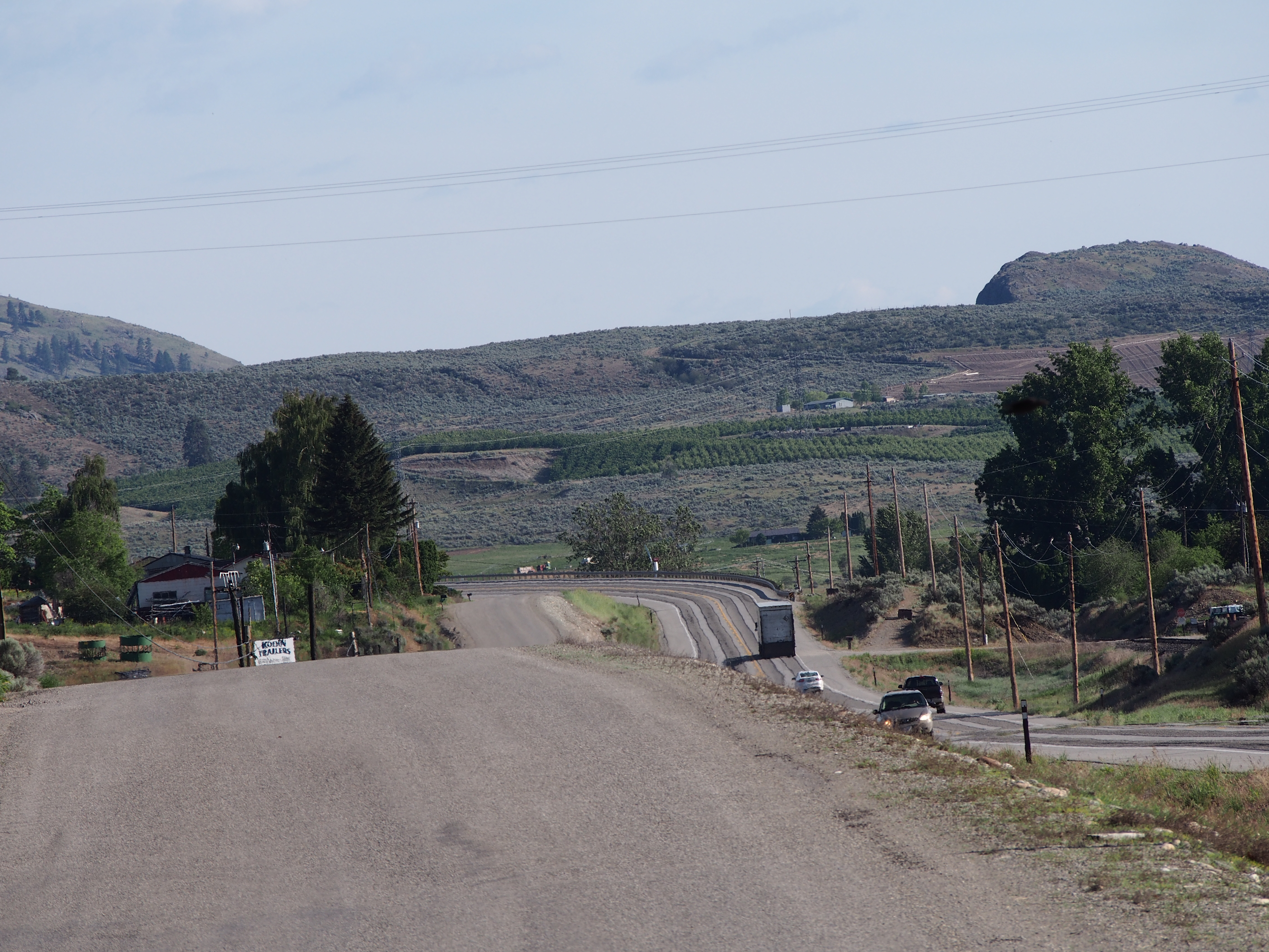
Related Photos:

DSC04832.jpg

Aeneas Valley Road near Highway 20
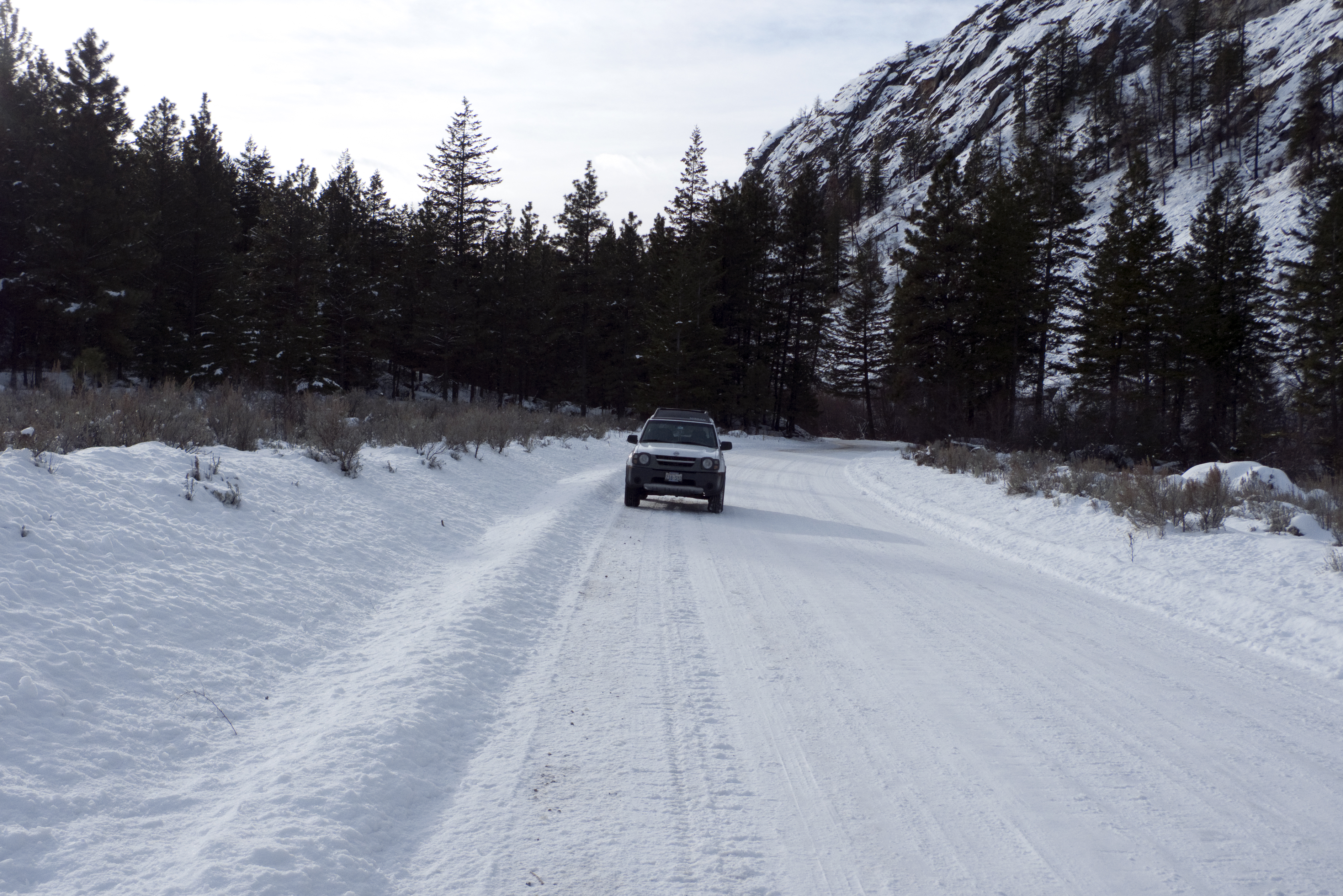
My new 2003 Nisson Xterra in the snow on JH Green Rd.
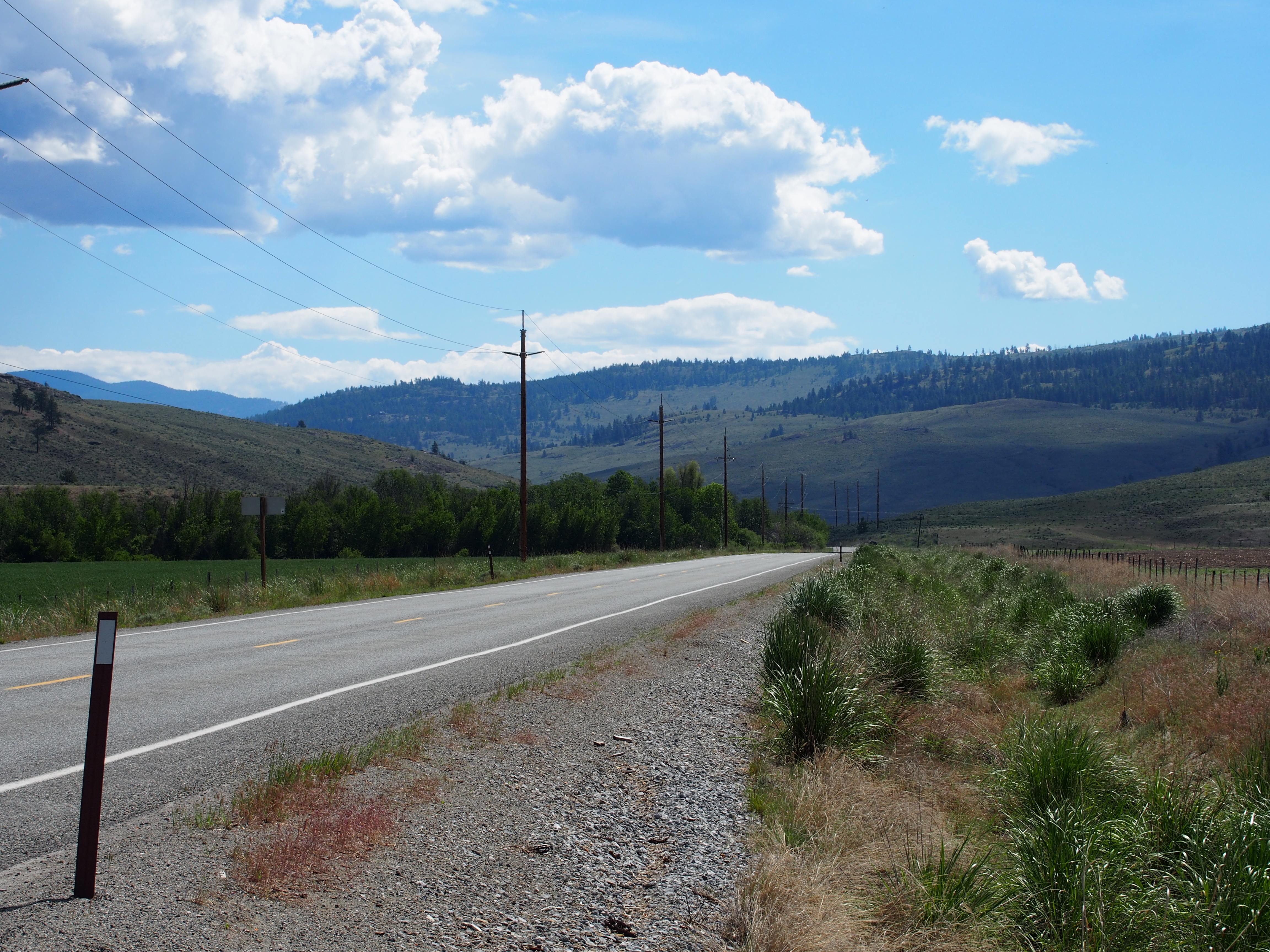
SR-20
P2015-05-21 10.03.49
SR-20

P2015-05-20 15.44.55
P2015-05-20 17.45.04
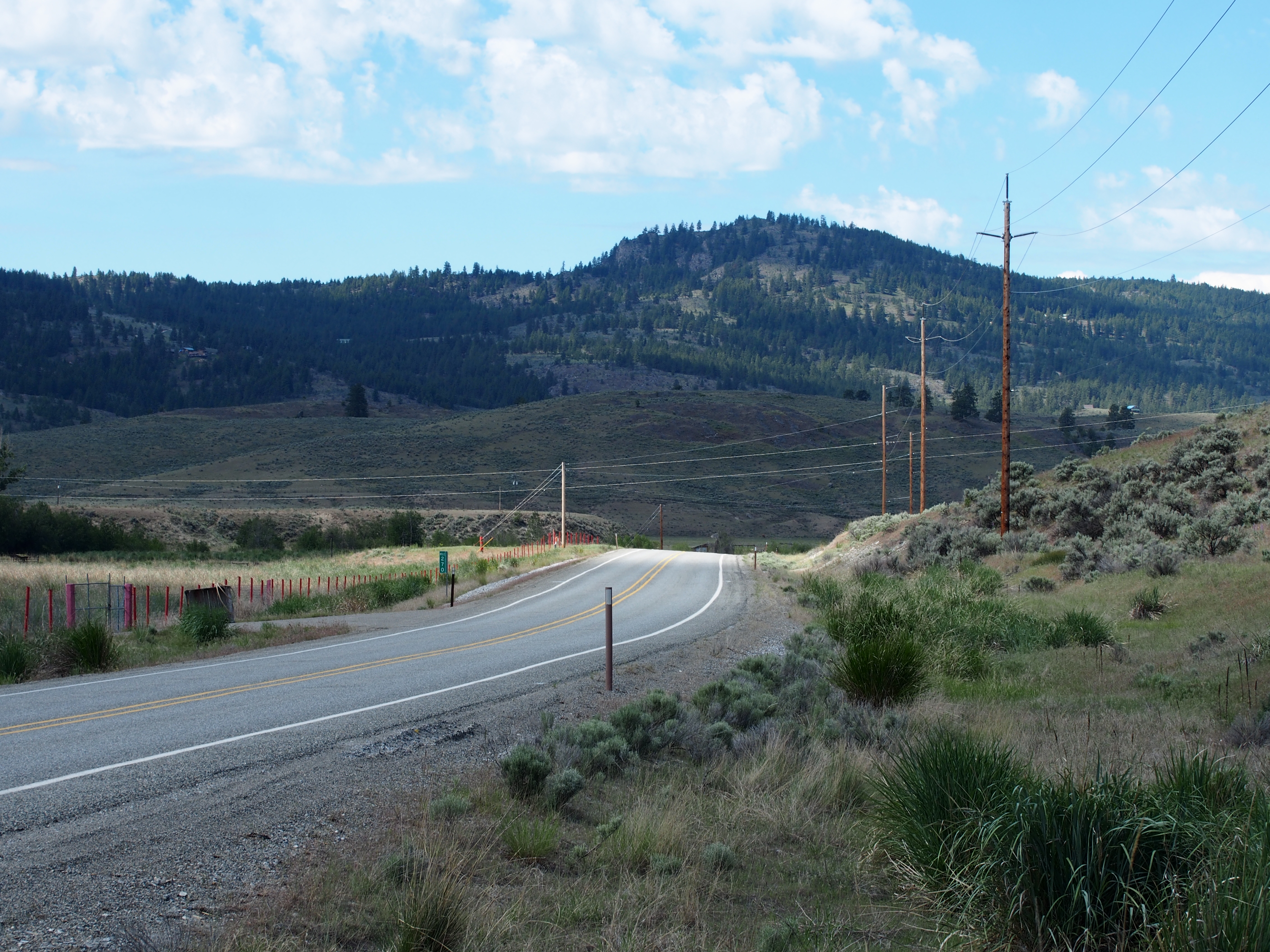
S Frontage Road
S Frontage Road
Topographic Map of J H Green Rd, Tonasket, WA, USA
Find elevation by address:

Places near J H Green Rd, Tonasket, WA, USA:
103 E Bannon Creek Rd
389 Talkire Lake Rd
Armitage Hill Road
111 Armitage Hill Rd
Bannon Mountain
102 Upper Reevas Basin Rd
WA-20, Tonasket, WA, USA
75 Eastman Mill Rd
3 Blue Star Ln
Badger Road
374 Bench Creek Rd
108 Doe Mountain Rd
Crawfish Lake
Siwash Creek Road
Siwash Creek Road
20 Valley View Dr
Tonasket
233 Antwyne Ln
79 N Siwash Creek Rd
Highway 7
Recent Searches:
- Elevation of Corso Fratelli Cairoli, 35, Macerata MC, Italy
- Elevation of Tallevast Rd, Sarasota, FL, USA
- Elevation of 4th St E, Sonoma, CA, USA
- Elevation of Black Hollow Rd, Pennsdale, PA, USA
- Elevation of Oakland Ave, Williamsport, PA, USA
- Elevation of Pedrógão Grande, Portugal
- Elevation of Klee Dr, Martinsburg, WV, USA
- Elevation of Via Roma, Pieranica CR, Italy
- Elevation of Tavkvetili Mountain, Georgia
- Elevation of Hartfords Bluff Cir, Mt Pleasant, SC, USA