Elevation of E Bannon Creek Rd, Tonasket, WA, USA
Location: United States > Washington > Okanogan County > Tonasket >
Longitude: -119.28617
Latitude: 48.6316446
Elevation: 851m / 2792feet
Barometric Pressure: 92KPa
Elevation Map:
Satellite Map:
Related Photos:

DSC04832.jpg

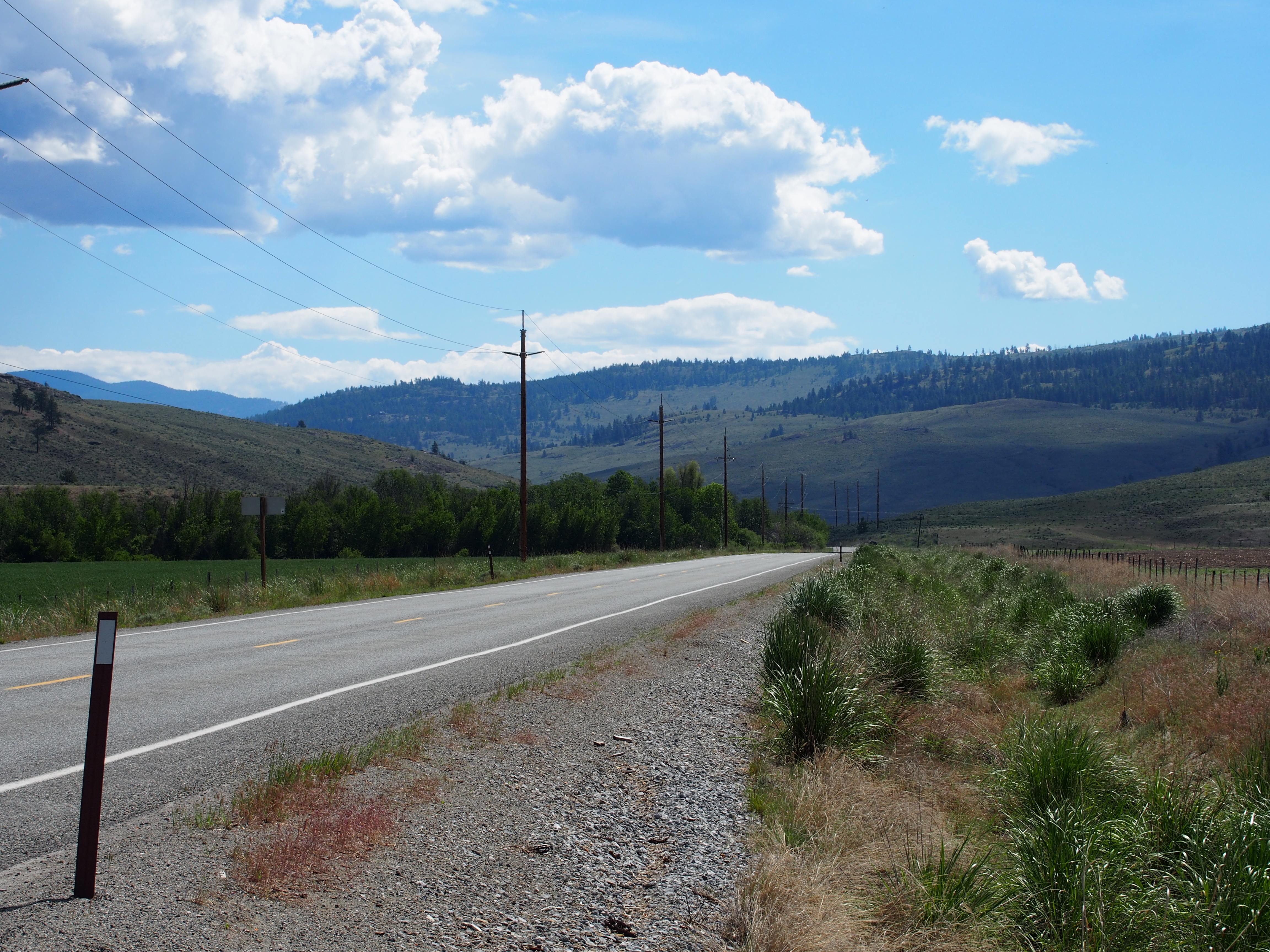
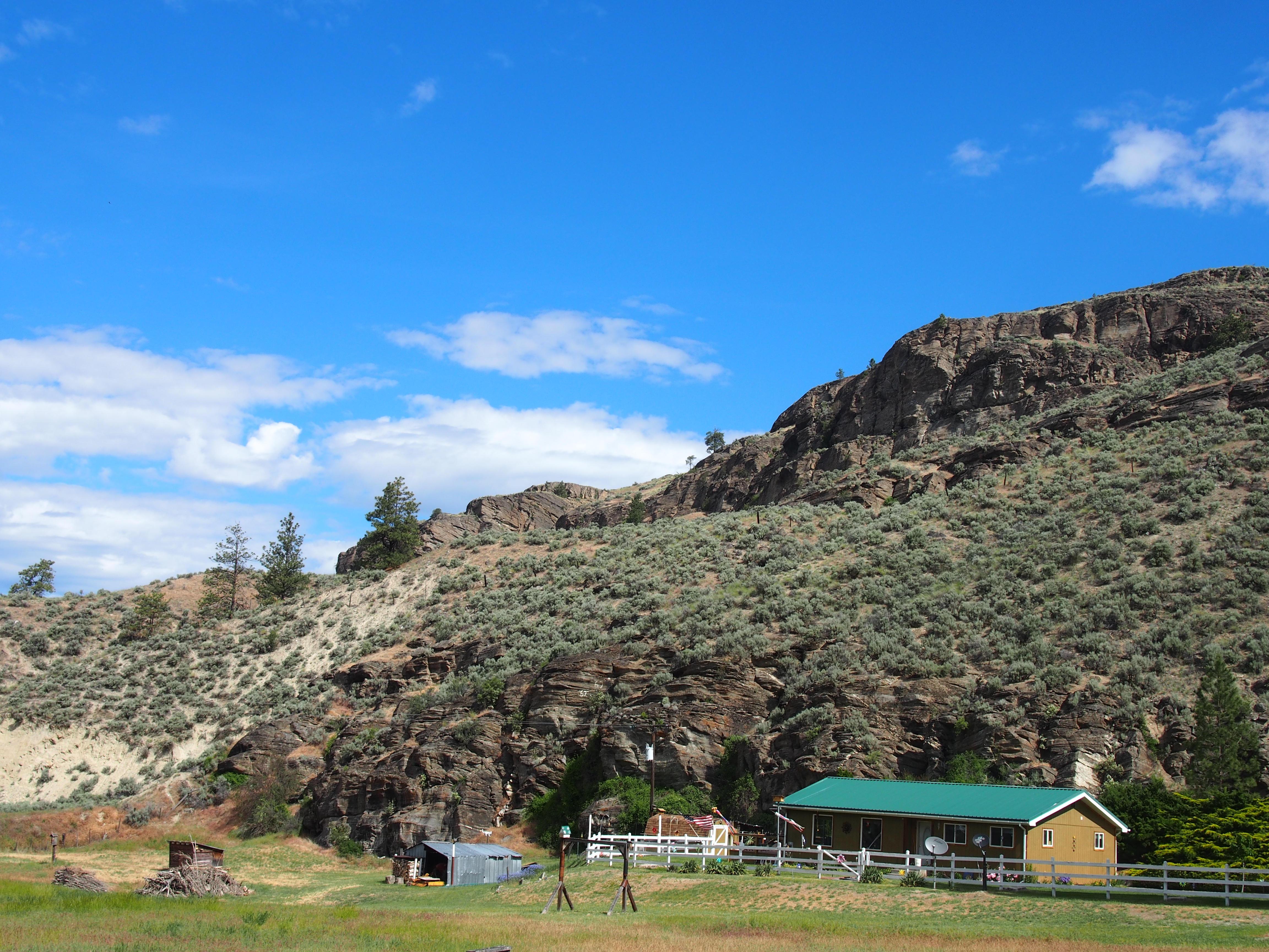
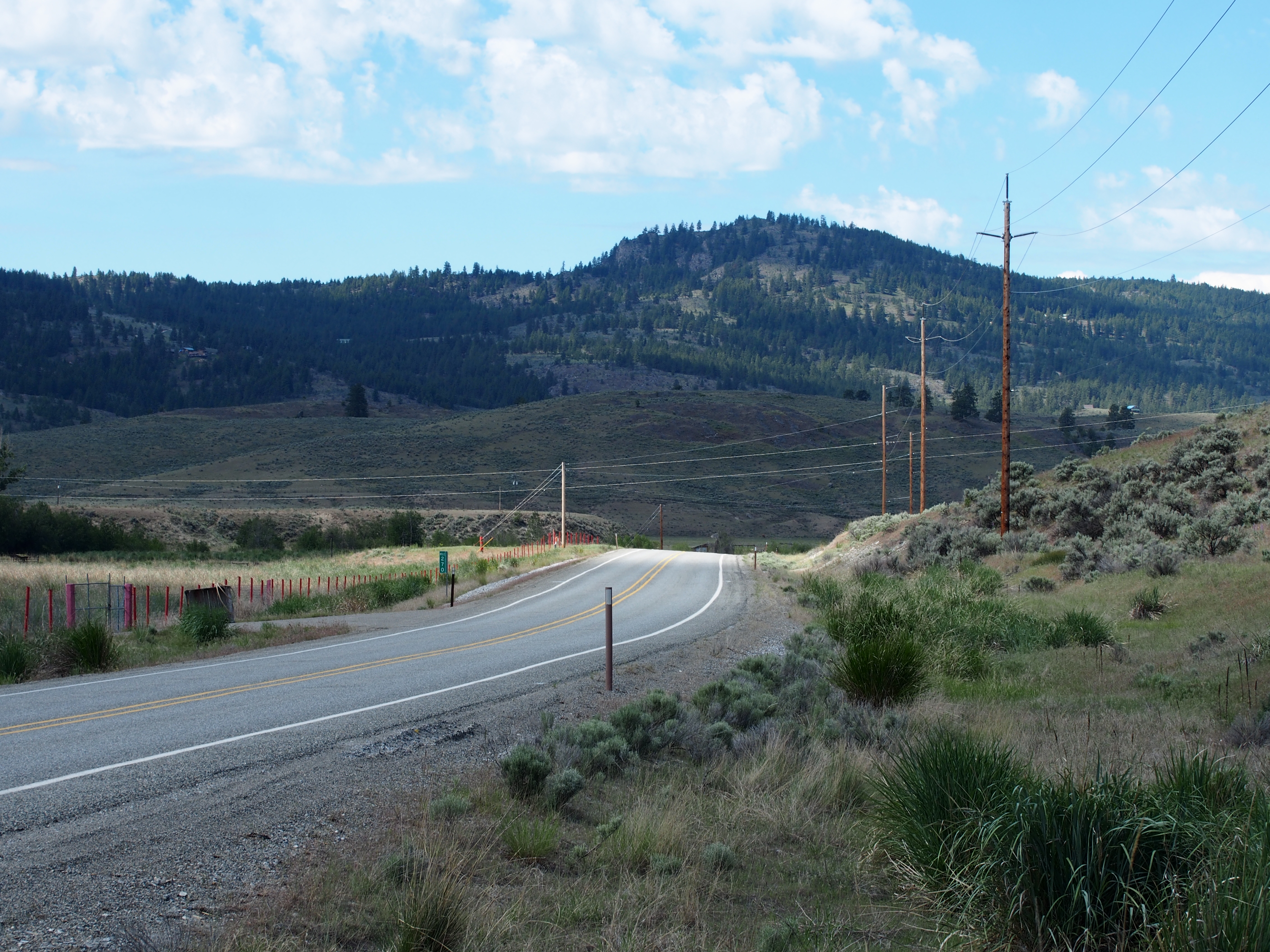
Aeneas Valley Road near Highway 20
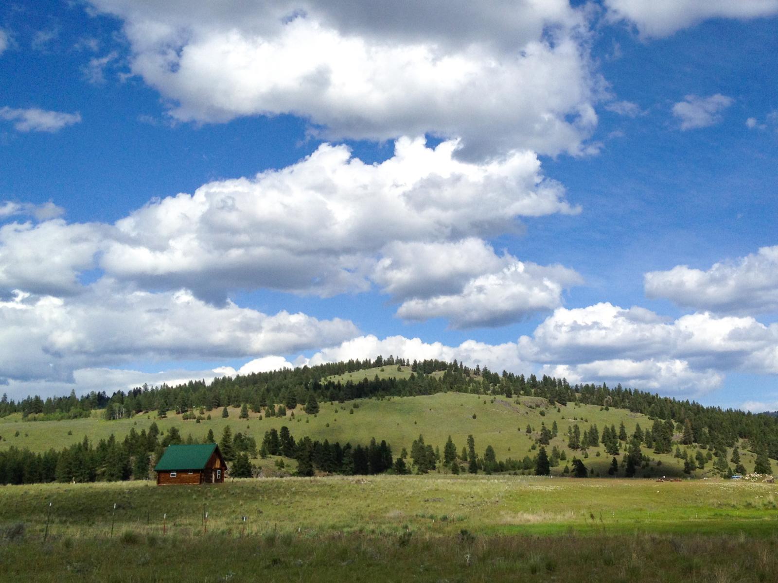
Ranch near Aeneas, Washington
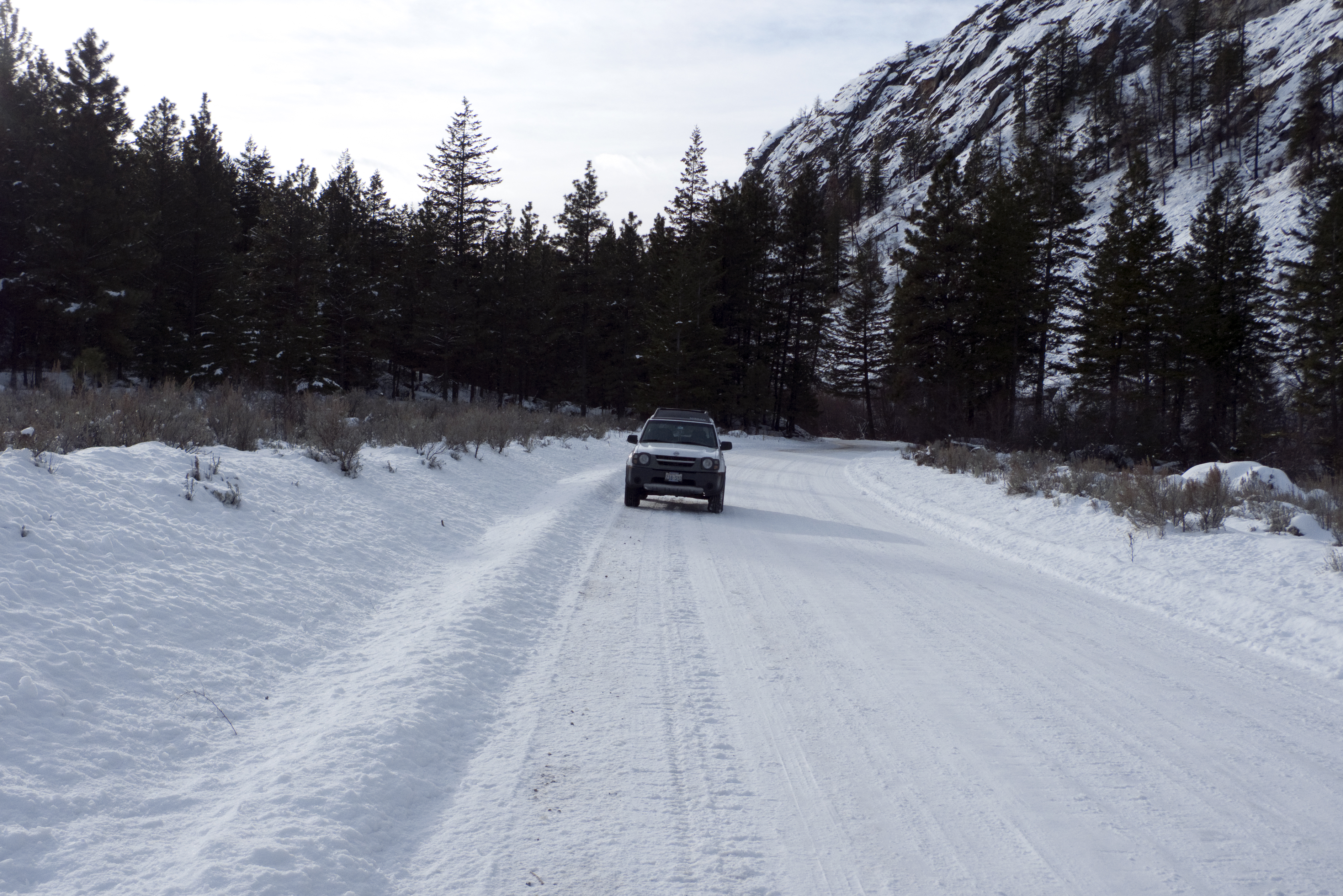
My new 2003 Nisson Xterra in the snow on JH Green Rd.
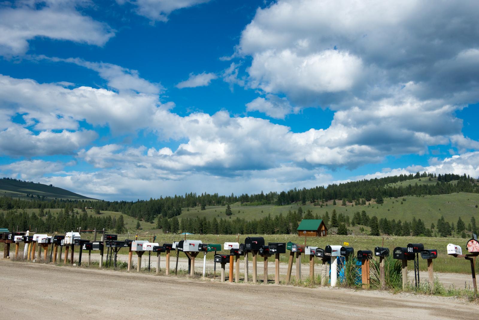
long row of mailboxes on Aeneas Valley Road
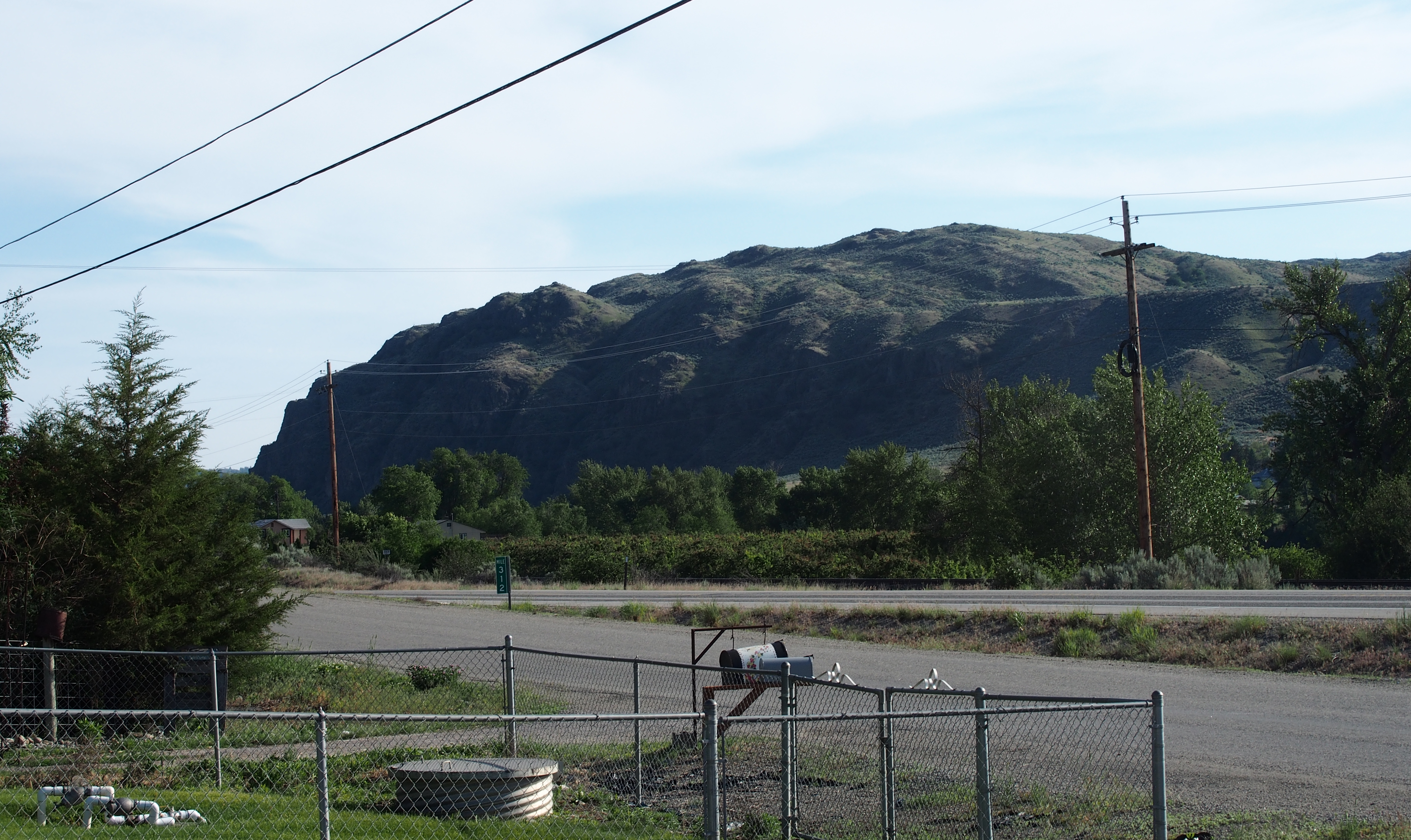
SR-20
P2015-05-21 10.03.49
SR-20
P2015-05-20 17.45.04
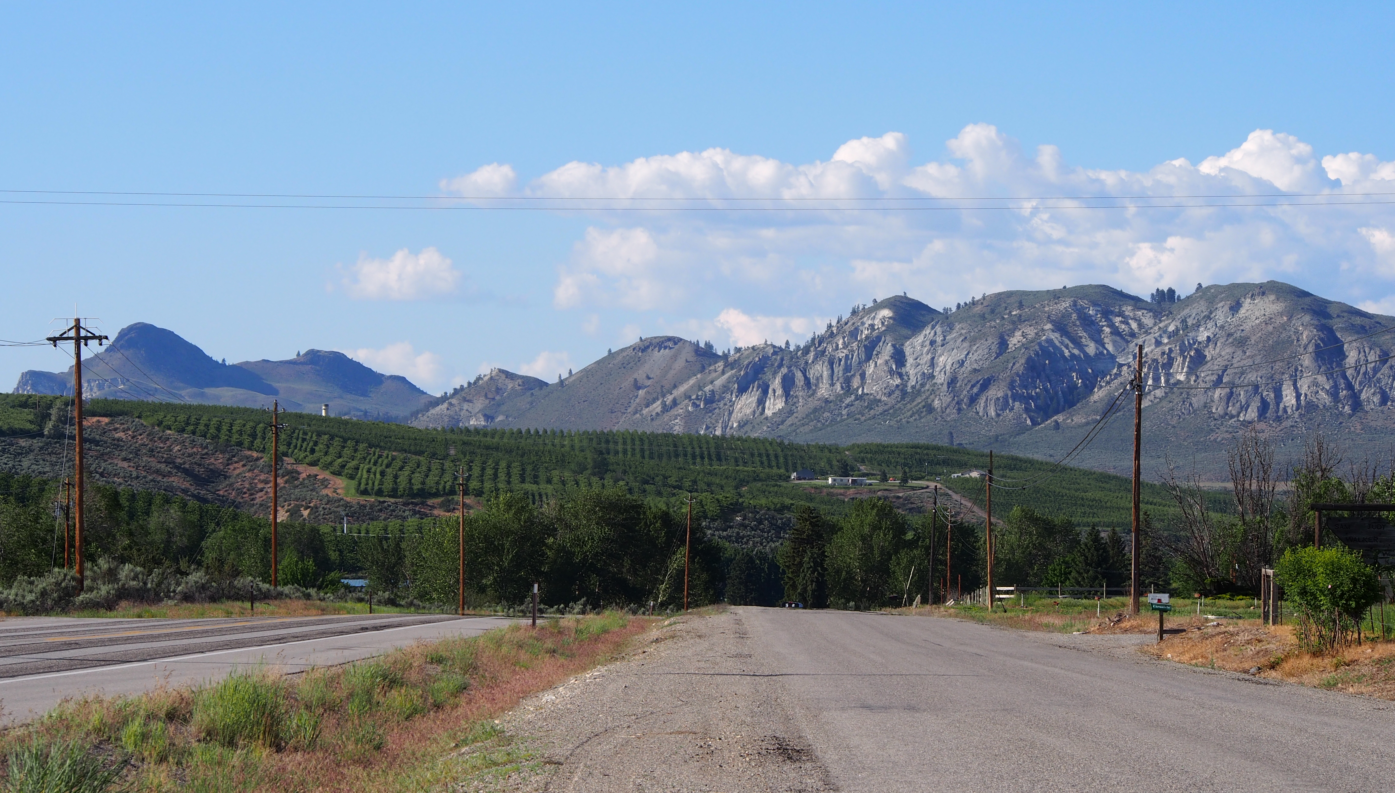
S Frontage Road
Topographic Map of E Bannon Creek Rd, Tonasket, WA, USA
Find elevation by address:

Places near E Bannon Creek Rd, Tonasket, WA, USA:
102 Upper Reevas Basin Rd
WA-20, Tonasket, WA, USA
389 Talkire Lake Rd
Bannon Mountain
3 Blue Star Ln
528 J H Green Rd
Badger Road
Siwash Creek Road
Siwash Creek Road
108 Doe Mountain Rd
374 Bench Creek Rd
79 N Siwash Creek Rd
233 Antwyne Ln
75 Eastman Mill Rd
Armitage Hill Road
111 Armitage Hill Rd
20 Valley View Dr
48 Long Lake Ln
Crawfish Lake
Tonasket
Recent Searches:
- Elevation of Corso Fratelli Cairoli, 35, Macerata MC, Italy
- Elevation of Tallevast Rd, Sarasota, FL, USA
- Elevation of 4th St E, Sonoma, CA, USA
- Elevation of Black Hollow Rd, Pennsdale, PA, USA
- Elevation of Oakland Ave, Williamsport, PA, USA
- Elevation of Pedrógão Grande, Portugal
- Elevation of Klee Dr, Martinsburg, WV, USA
- Elevation of Via Roma, Pieranica CR, Italy
- Elevation of Tavkvetili Mountain, Georgia
- Elevation of Hartfords Bluff Cir, Mt Pleasant, SC, USA