Elevation of Iringa, Tanzania
Location: Tanzania > Iringa Region > Iringa >
Longitude: 35.6860723
Latitude: -7.768059
Elevation: 1564m / 5131feet
Barometric Pressure: 84KPa
Elevation Map:
Satellite Map:
Related Photos:
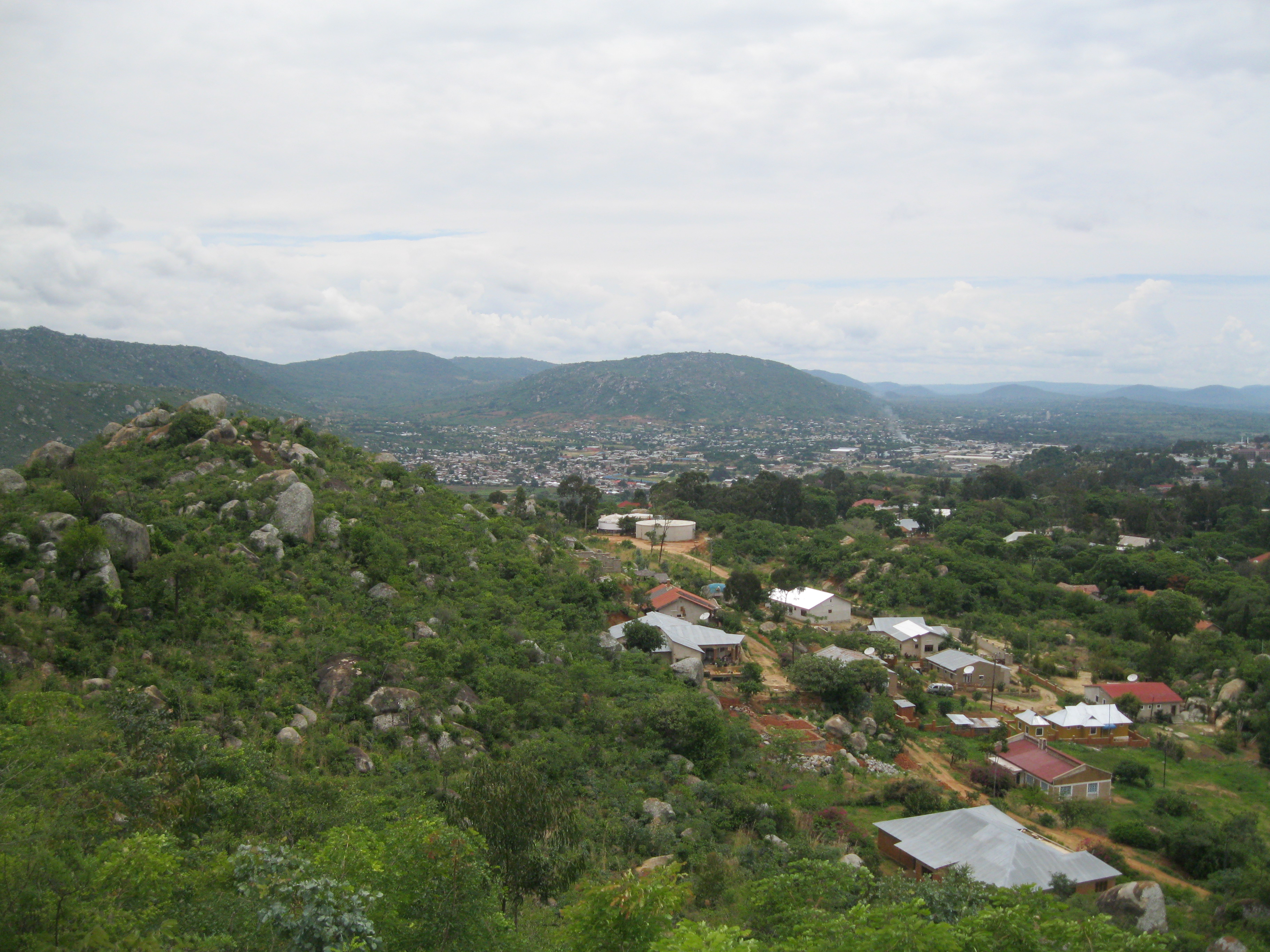
View from Sai Villa restaurant

Isimila Stone Age Site - panorama
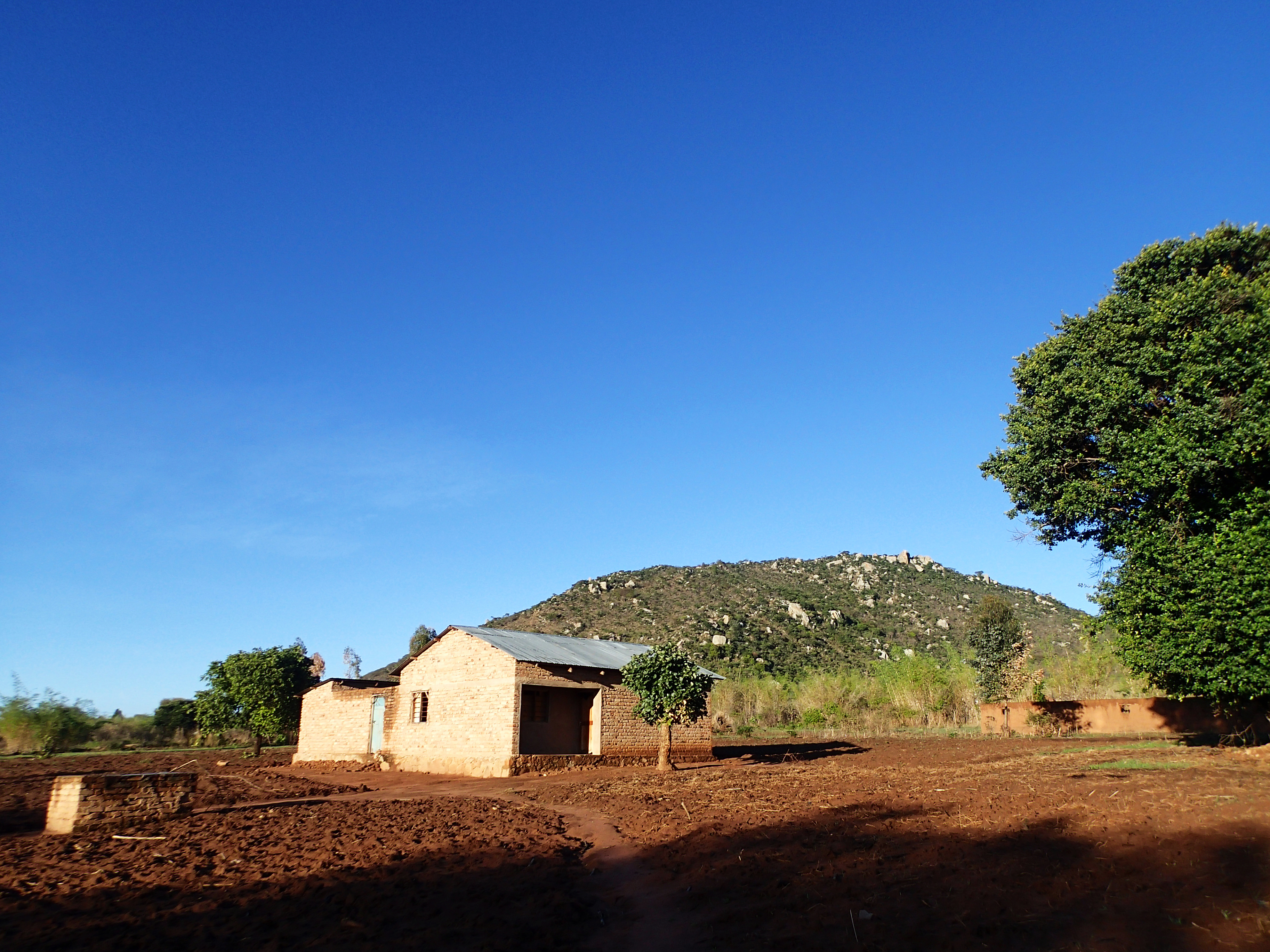
View right in front of our house
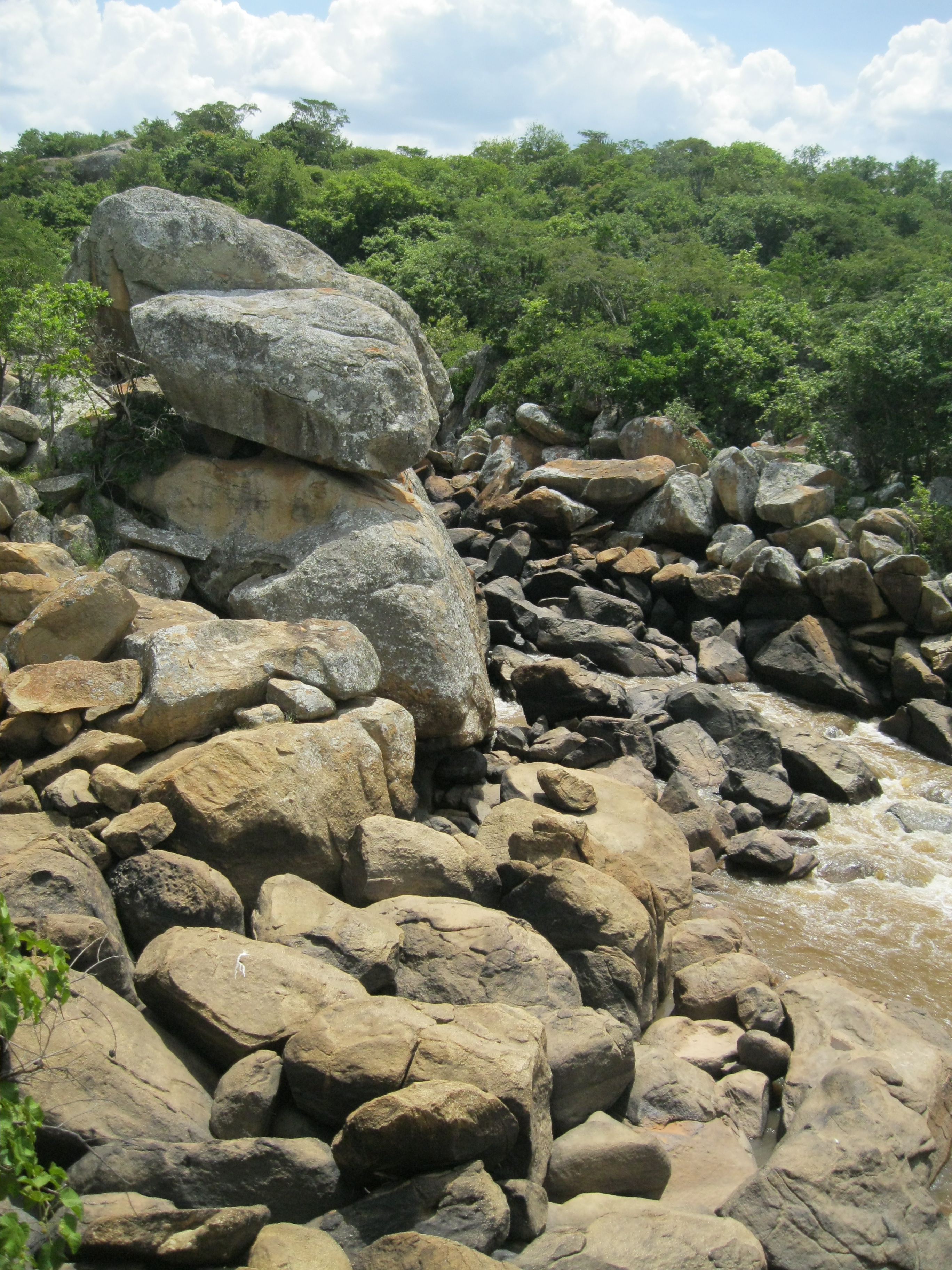
Ruaha River View-NoPeople.JPG
View from Hilltop Lodge .jpg
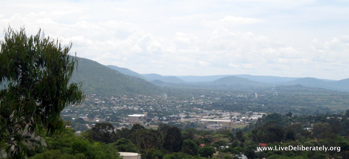
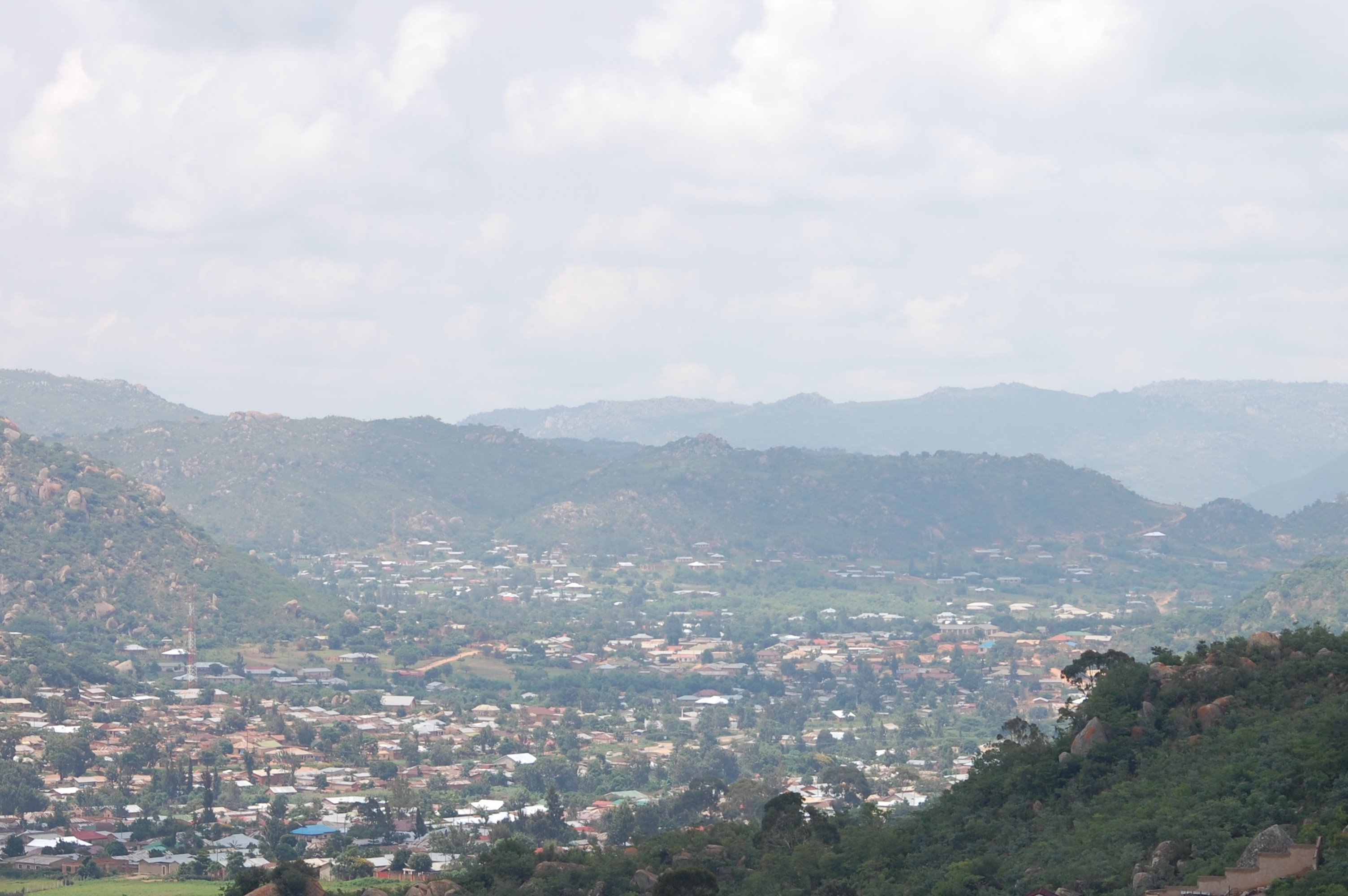
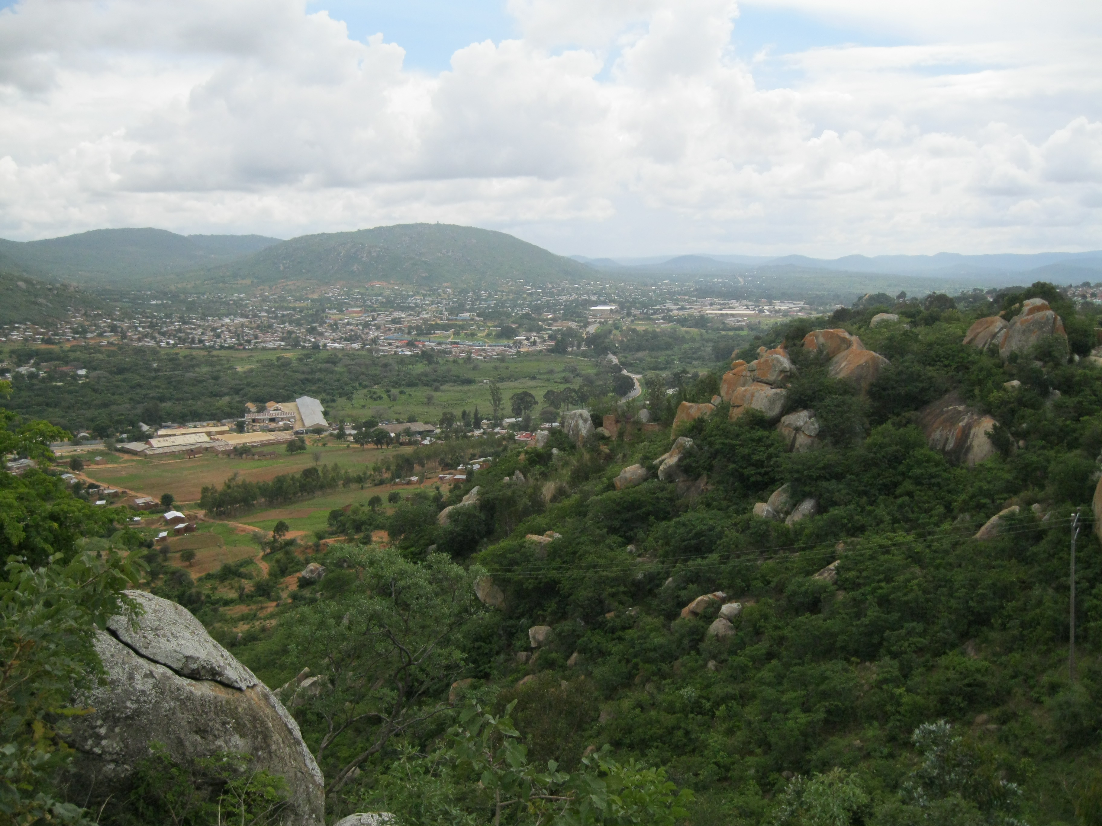
View of Iringa
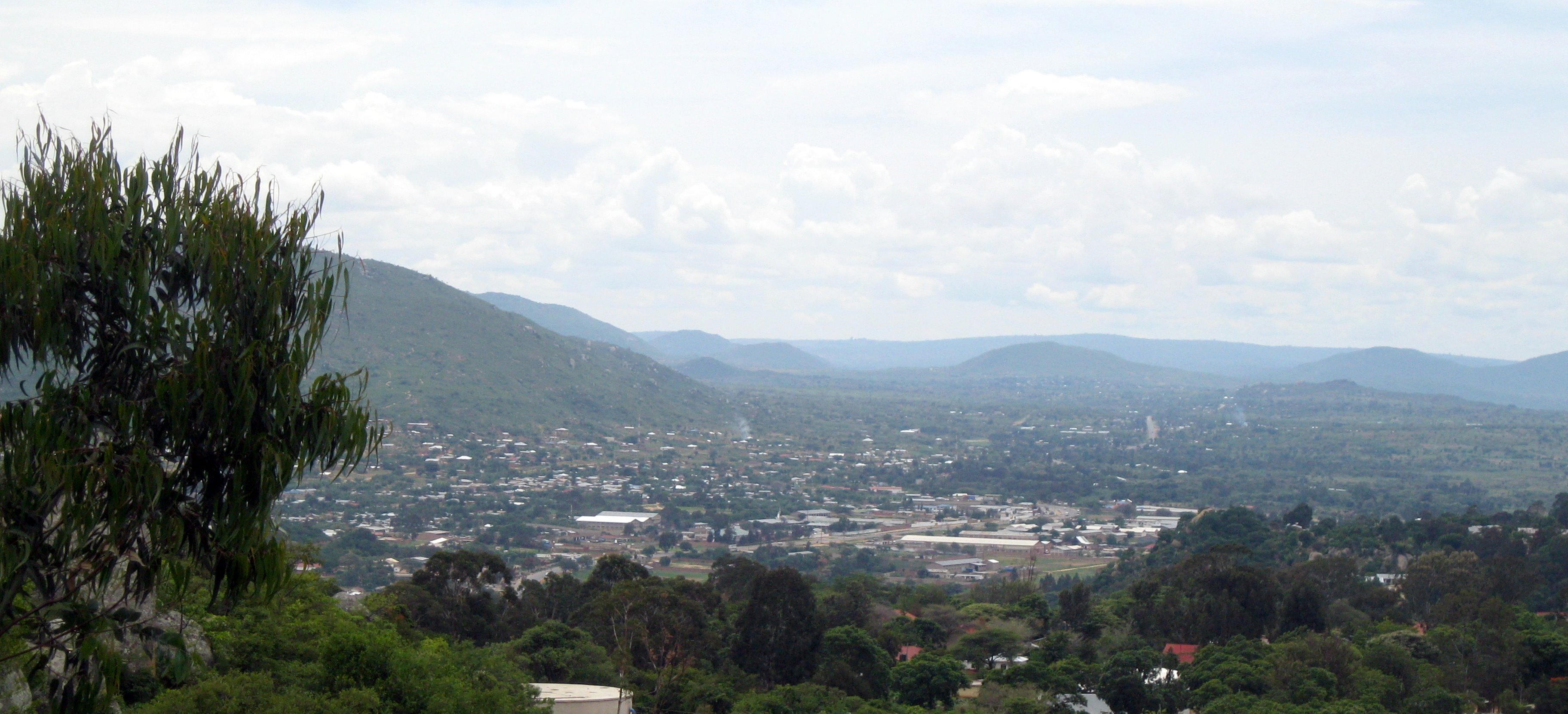
View of Iringa
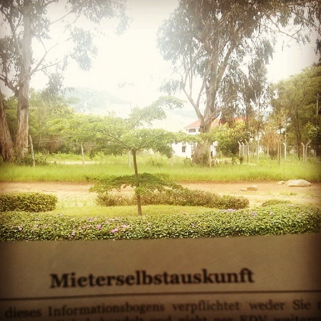
German bureaucracy followed us to Africa.
Riverside Campground-18
World Challenge Expedition - Southern Tanzania
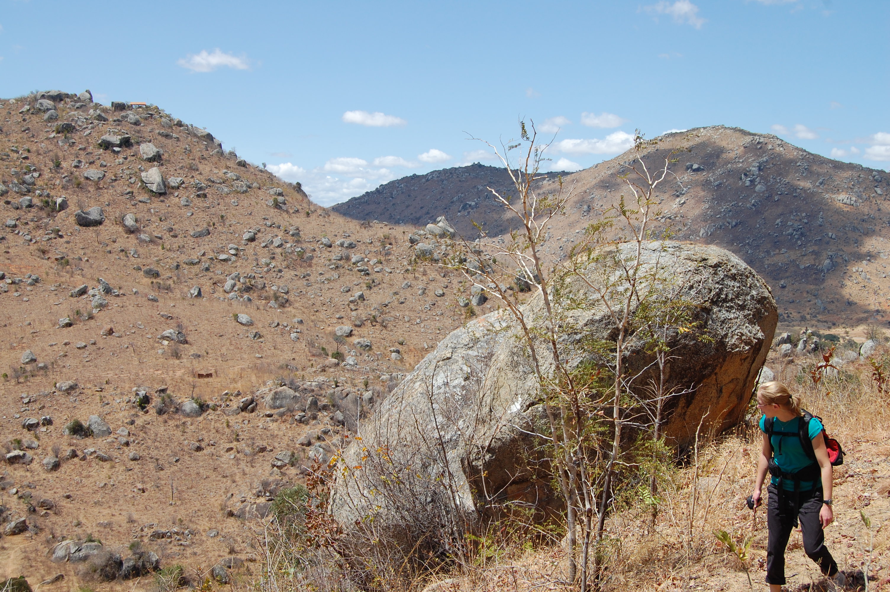
Hiking around Iringa
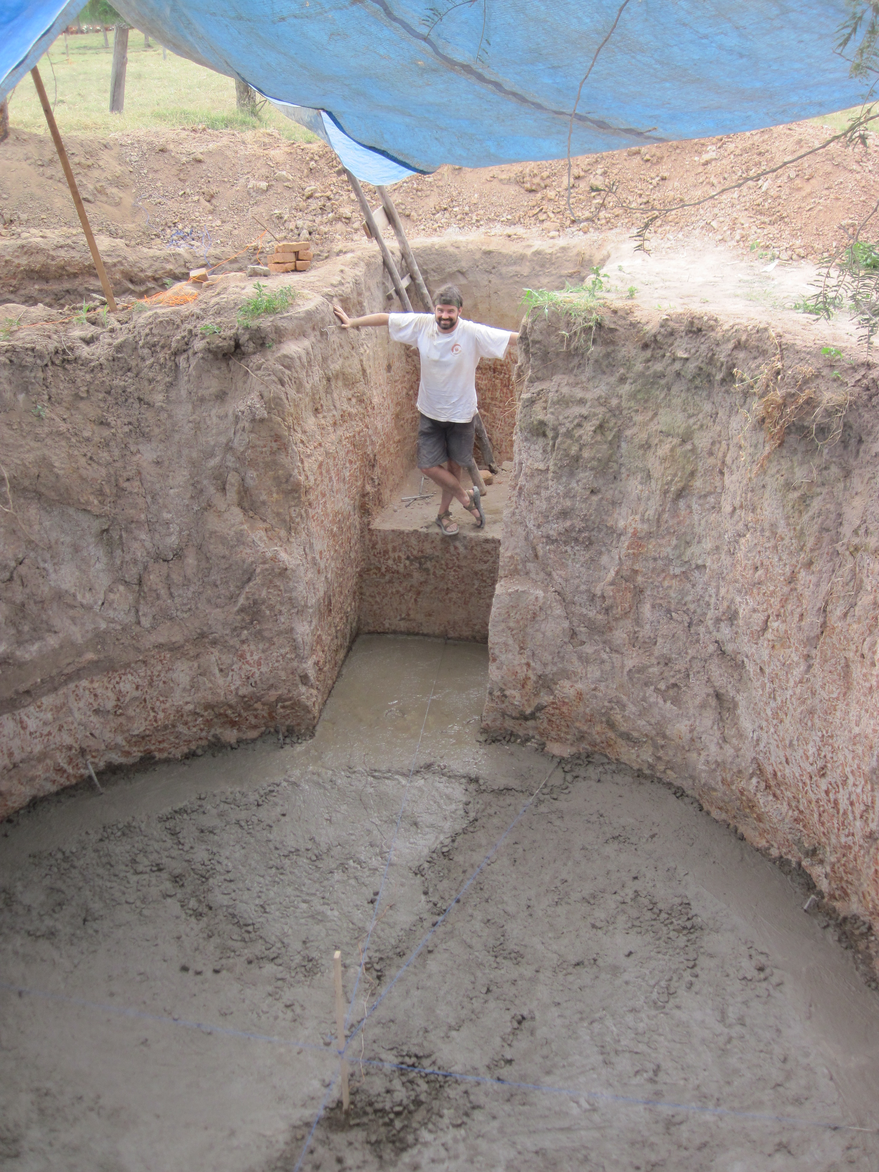
Building the Biogas Plant at Kibebe-70
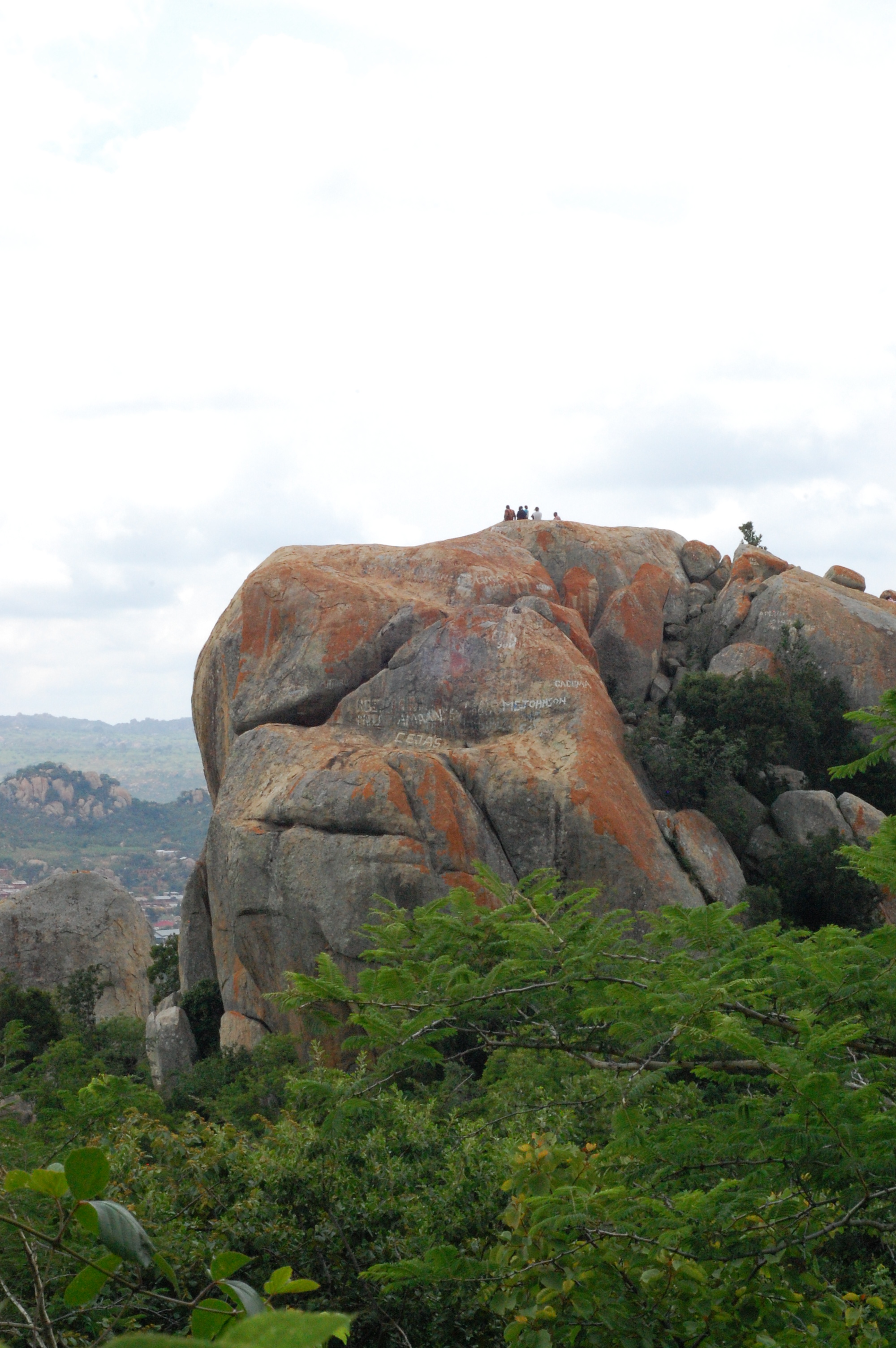
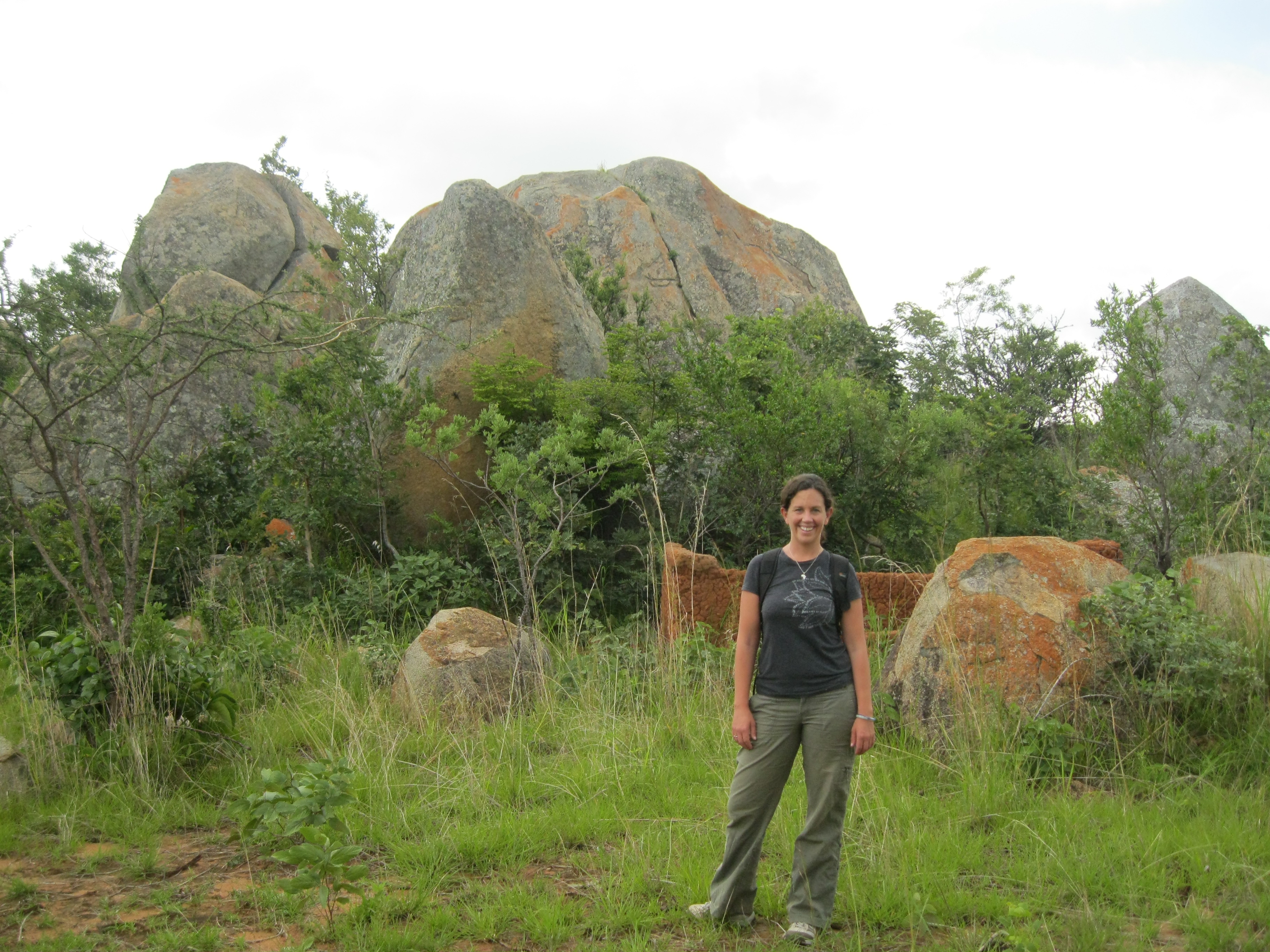
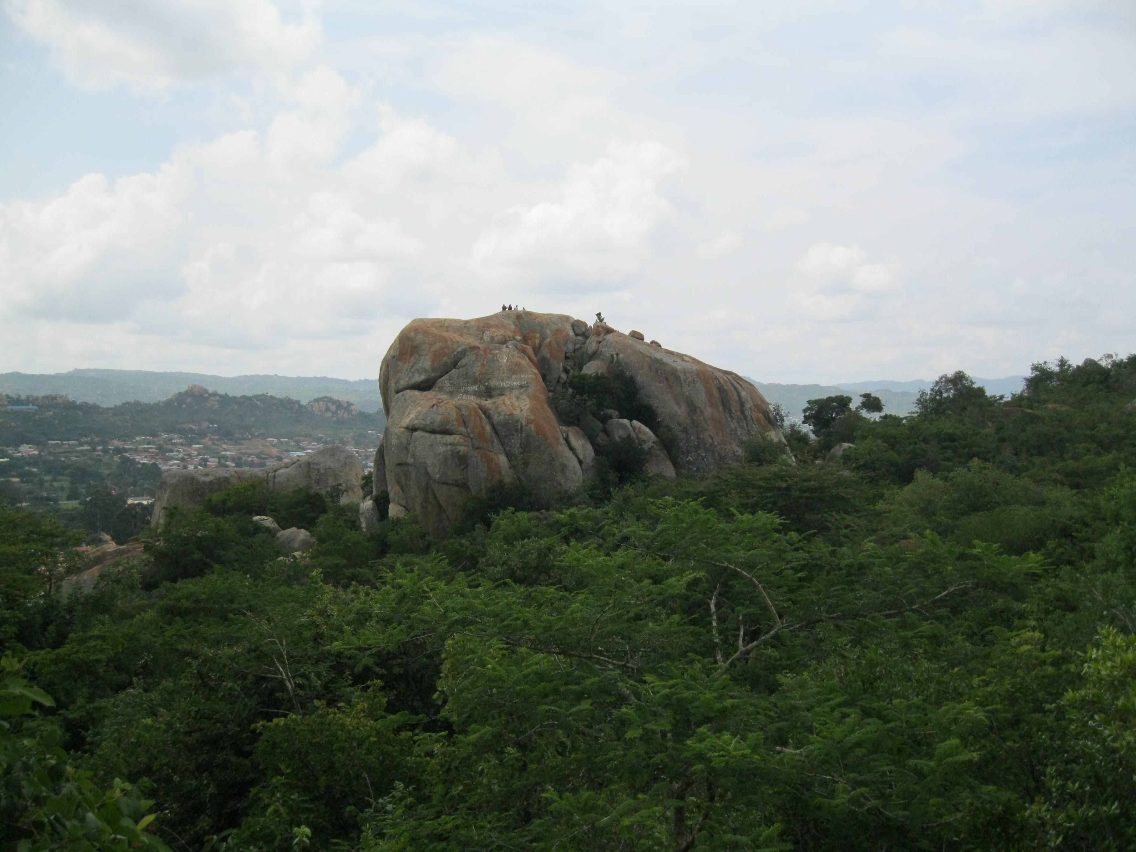
Gangilonga Rock in Iringa-21
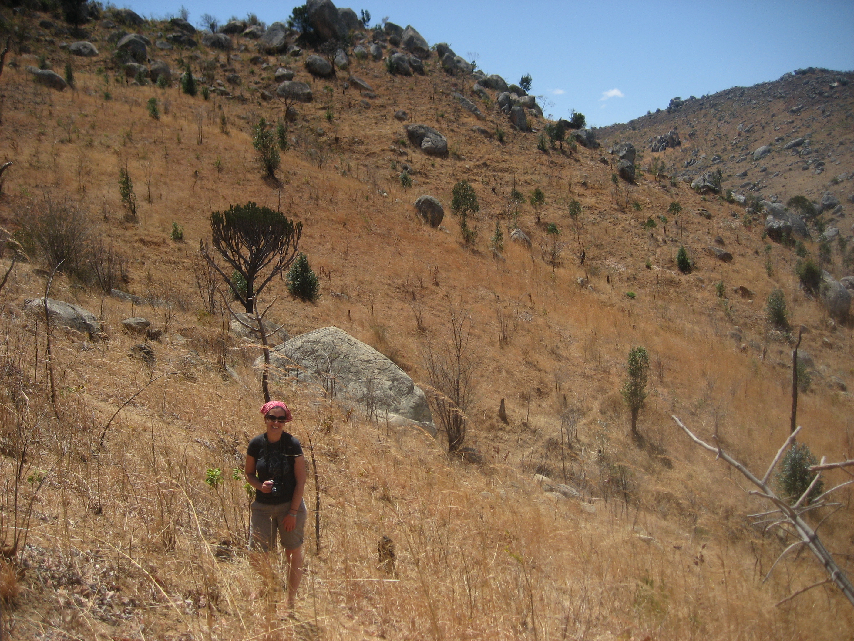
Hiking around Iringa

Riverside Campground-6
In Iringa
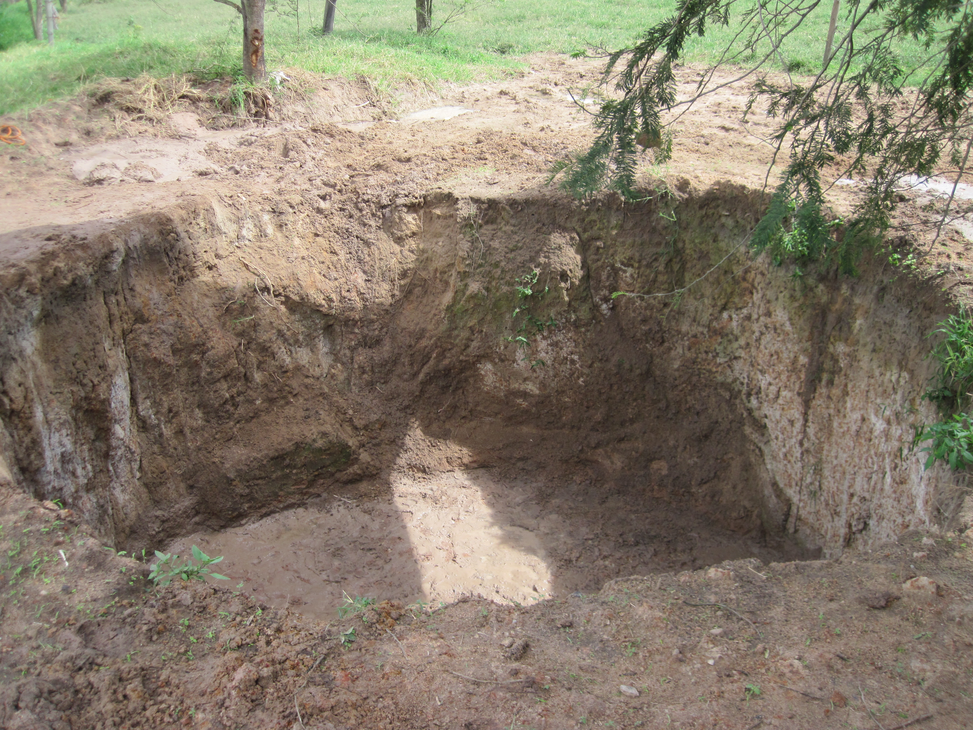
Building the Biogas Plant at Kibebe-7
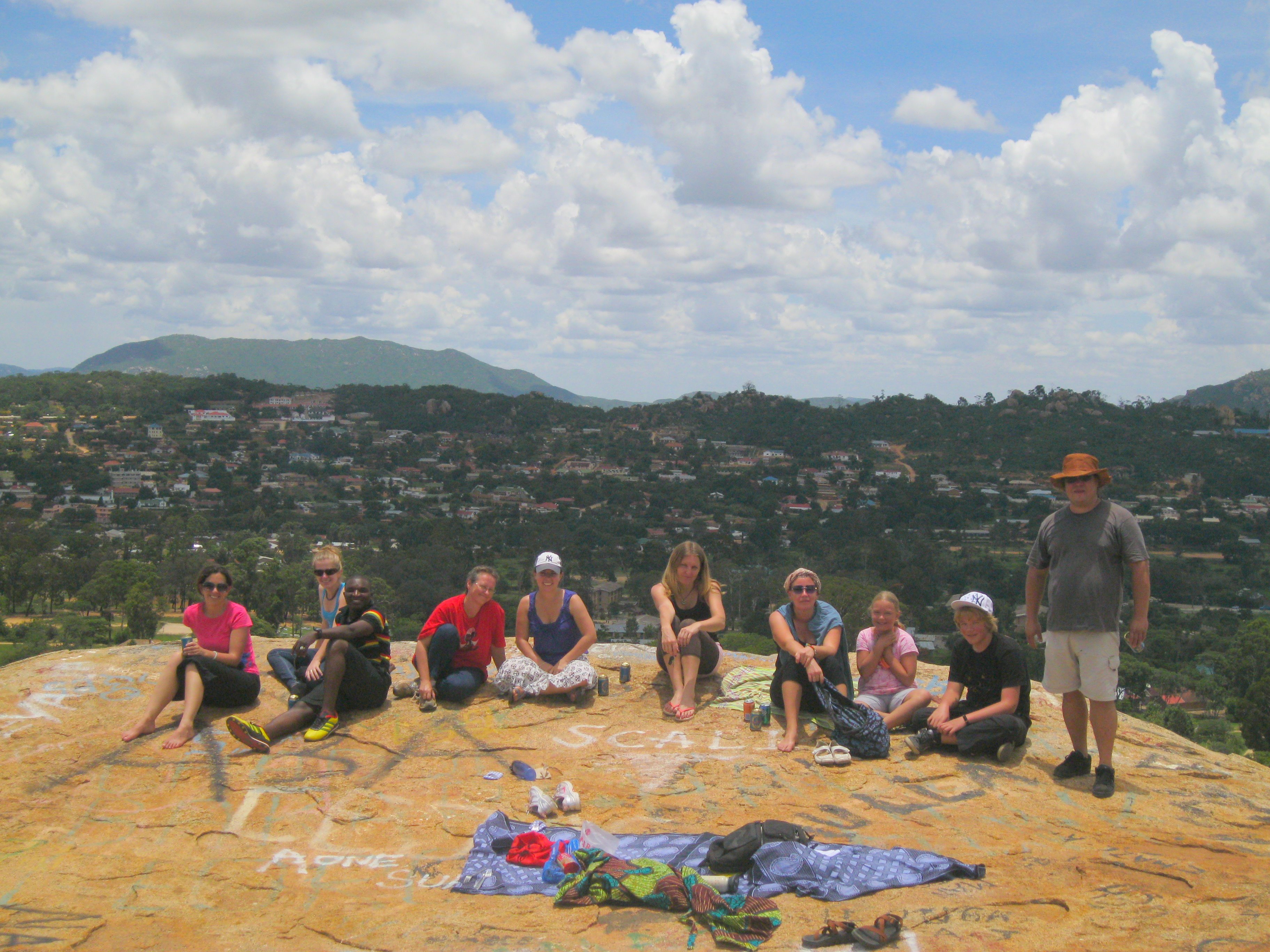
Micahs BDay Weekend-37
In Iringa-1
Riverside Campground-76
Gangilonga Rock in Iringa-2

Baking building bricks
Hiking around Gangilonga-3
Hiking around Iringa
Topographic Map of Iringa, Tanzania
Find elevation by address:

Places near Iringa, Tanzania:
Gangilonga
Iringa Sunset Hotel
Iringa Urban
Iringa Region
Iringa
Nmb Kilolo Branch
Kilolo Bus Stop
Mafinga
Ifwagi
Sao Hill
Mafinga Urban
Recent Searches:
- Elevation of Corso Fratelli Cairoli, 35, Macerata MC, Italy
- Elevation of Tallevast Rd, Sarasota, FL, USA
- Elevation of 4th St E, Sonoma, CA, USA
- Elevation of Black Hollow Rd, Pennsdale, PA, USA
- Elevation of Oakland Ave, Williamsport, PA, USA
- Elevation of Pedrógão Grande, Portugal
- Elevation of Klee Dr, Martinsburg, WV, USA
- Elevation of Via Roma, Pieranica CR, Italy
- Elevation of Tavkvetili Mountain, Georgia
- Elevation of Hartfords Bluff Cir, Mt Pleasant, SC, USA