Elevation of Gangilonga, Tanzania
Location: Tanzania > Iringa Region > Iringa Urban >
Longitude: 35.7010182
Latitude: -7.769185
Elevation: 1623m / 5325feet
Barometric Pressure: 83KPa
Elevation Map:
Satellite Map:
Related Photos:

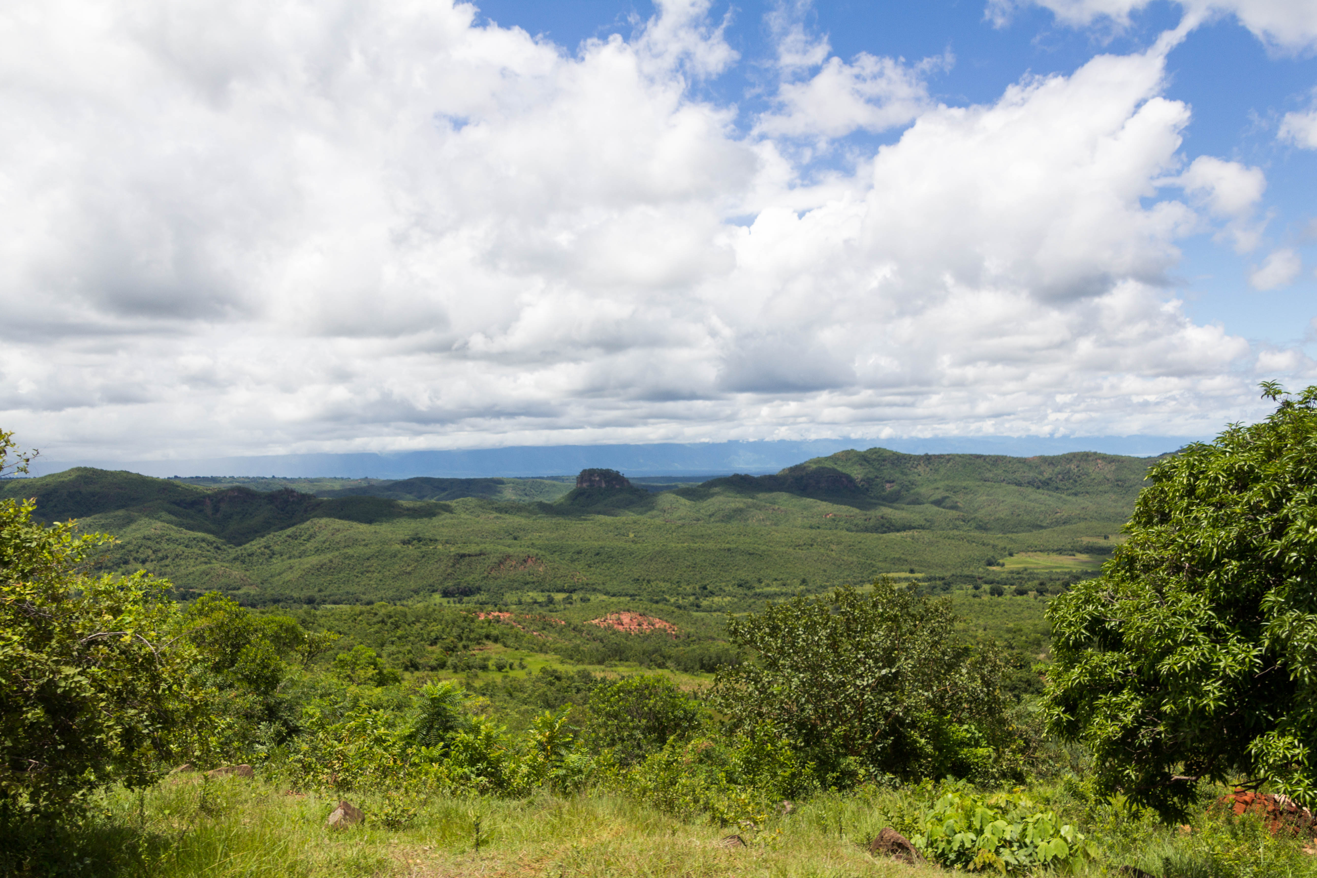
Isimila Stone Age Site - panorama

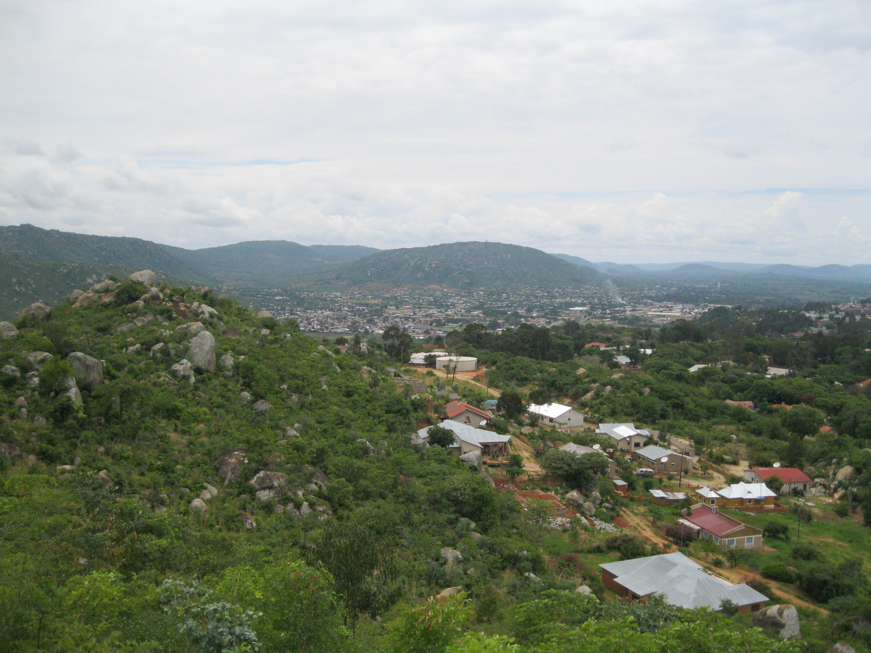
View of Iringa

View of Iringa

View right in front of our house

View from Sai Villa restaurant

The Little Ruaha River at Iringa in Tanzania

Building the Biogas Plant at Kibebe-70

Building the Biogas Plant at Kibebe-7
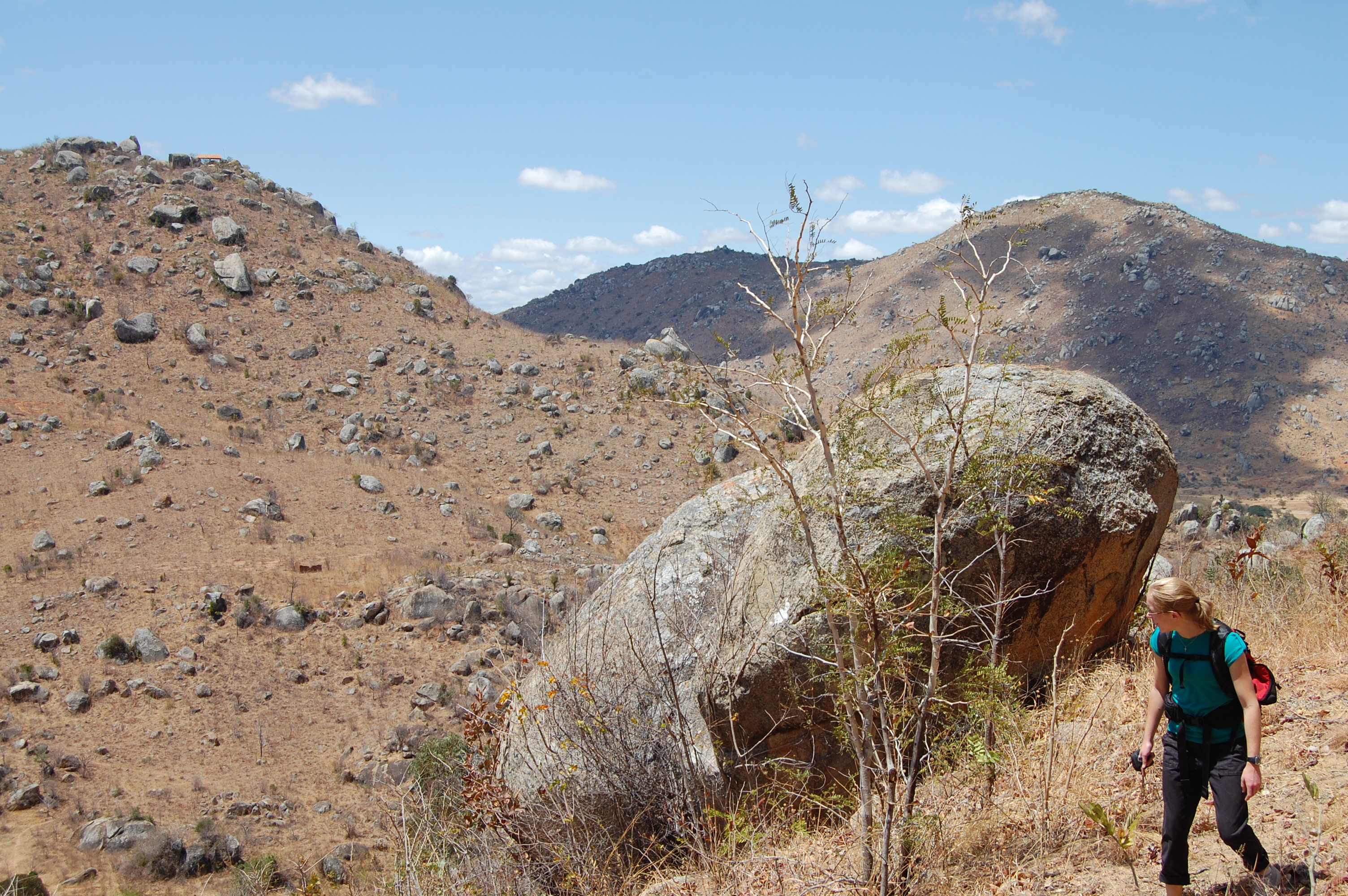
Hiking around Iringa

Hiking around Iringa
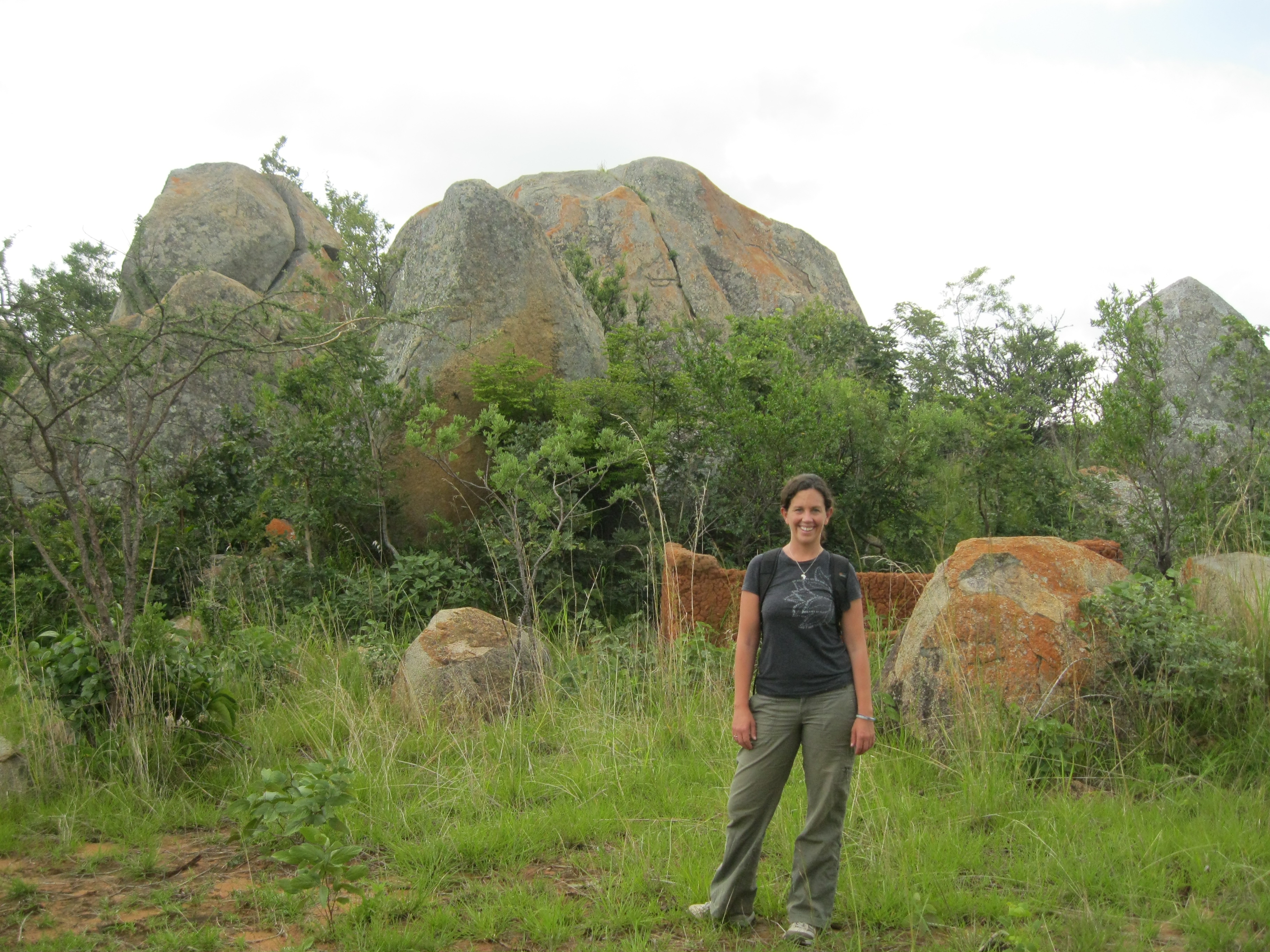
Hiking around Gangilonga-3

Riverside Campground-76
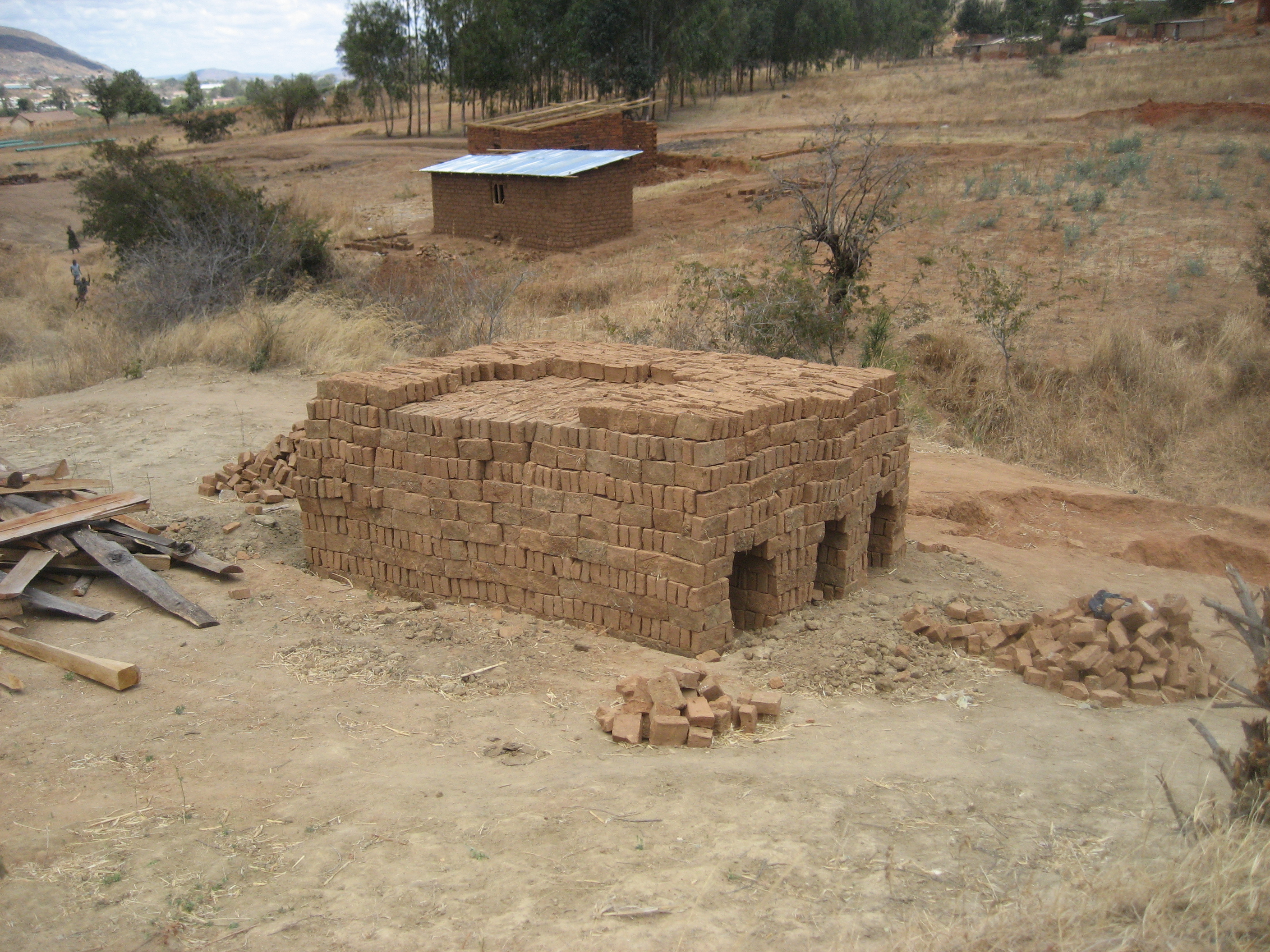
Baking building bricks

In Iringa-1
201503 - Tanzanie - 0475.jpg

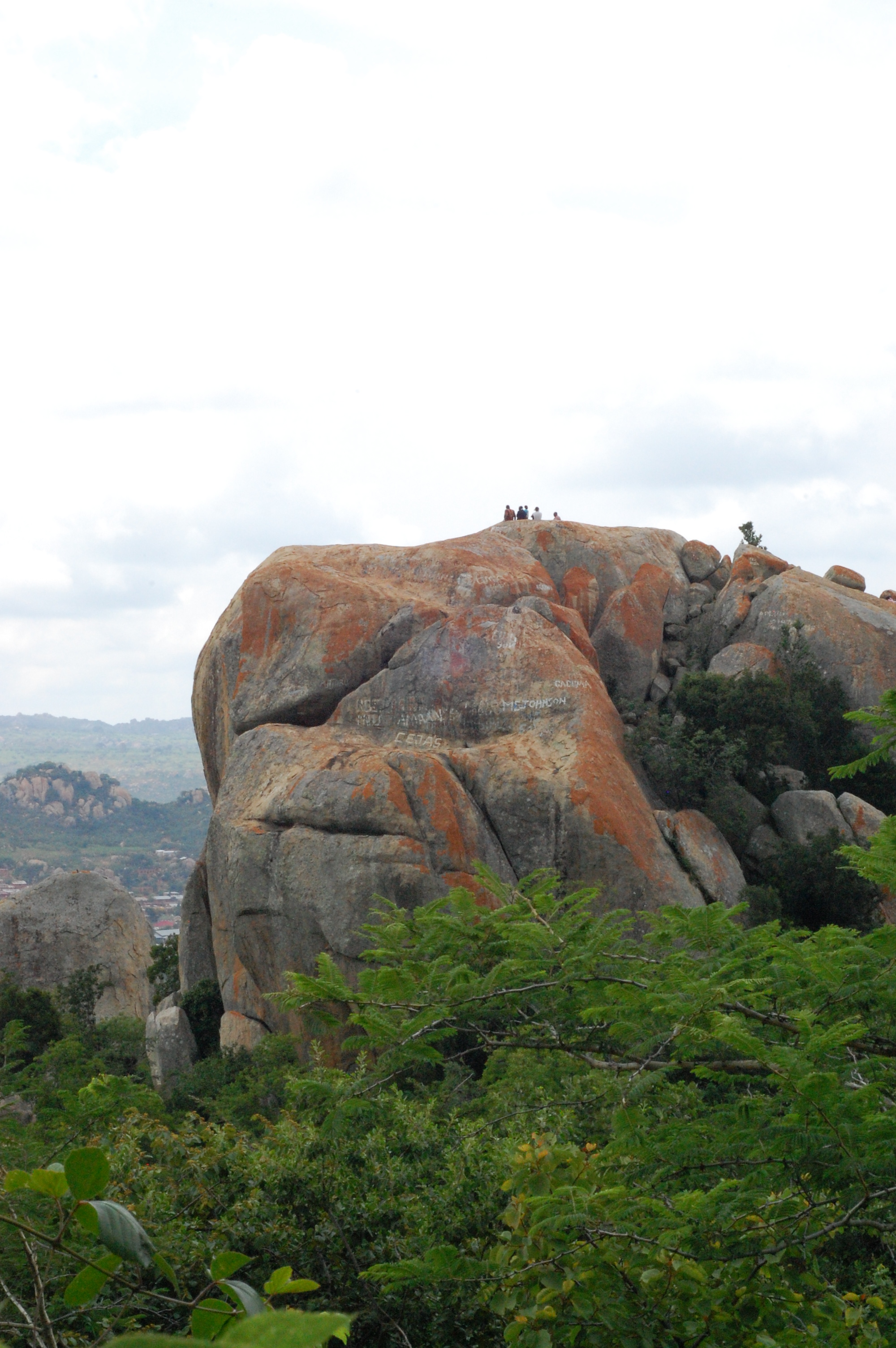
Gangilonga Rock in Iringa-2
In Iringa
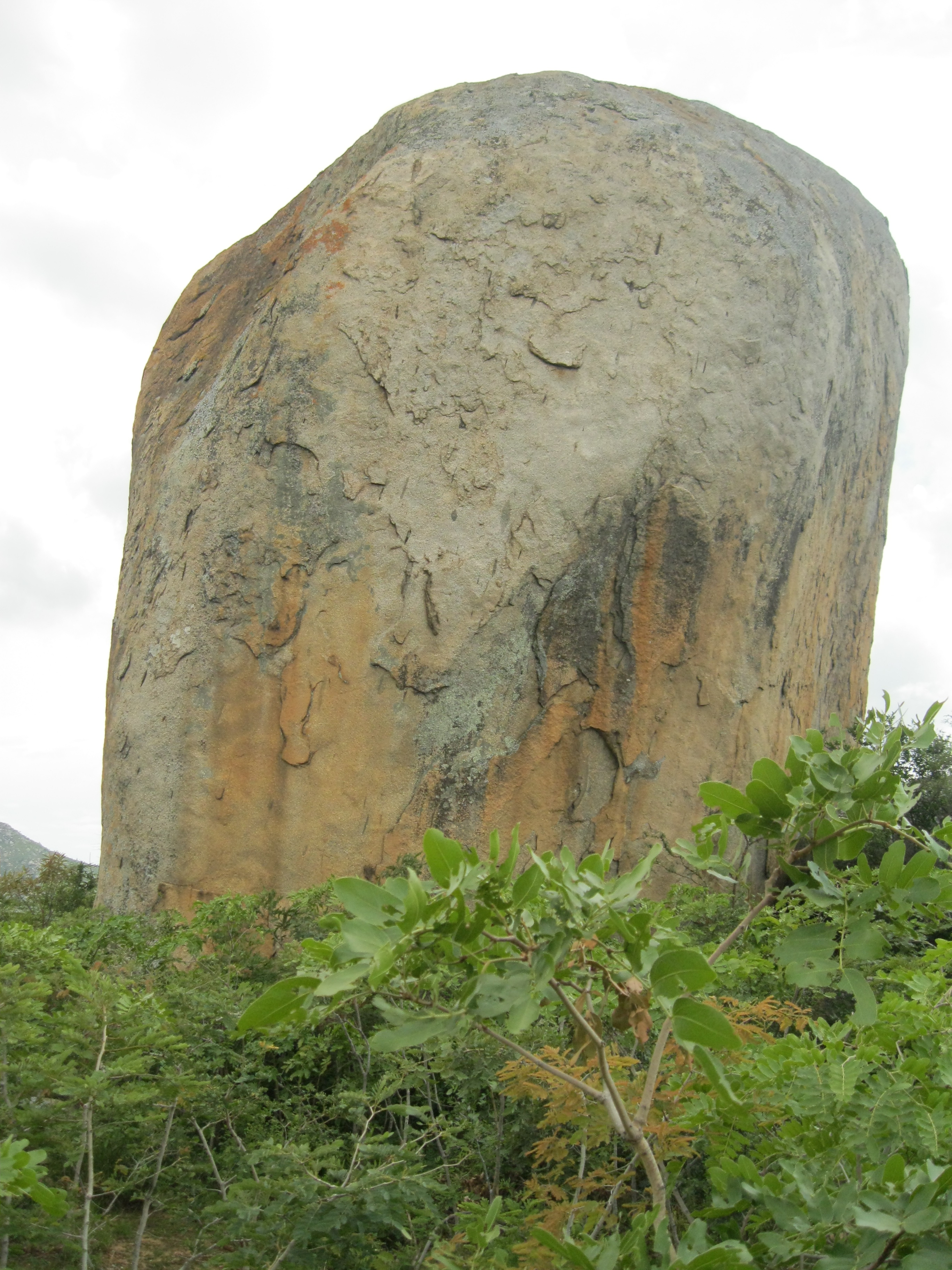
Gangilonga Rock in Iringa-21
Hiking around Gangilonga-20

Micahs BDay Weekend-37
Riverside Campground-18

Riverside Campground-6

Hiking around Iringa
Topographic Map of Gangilonga, Tanzania
Find elevation by address:

Places near Gangilonga, Tanzania:
Iringa Sunset Hotel
Iringa
Iringa Urban
Iringa Region
Iringa
Nmb Kilolo Branch
Kilolo Bus Stop
Mafinga
Ifwagi
Sao Hill
Mafinga Urban
Recent Searches:
- Elevation of Corso Fratelli Cairoli, 35, Macerata MC, Italy
- Elevation of Tallevast Rd, Sarasota, FL, USA
- Elevation of 4th St E, Sonoma, CA, USA
- Elevation of Black Hollow Rd, Pennsdale, PA, USA
- Elevation of Oakland Ave, Williamsport, PA, USA
- Elevation of Pedrógão Grande, Portugal
- Elevation of Klee Dr, Martinsburg, WV, USA
- Elevation of Via Roma, Pieranica CR, Italy
- Elevation of Tavkvetili Mountain, Georgia
- Elevation of Hartfords Bluff Cir, Mt Pleasant, SC, USA