Elevation map of Iringa Region, Tanzania
Location: Tanzania >
Longitude: 35.5657862
Latitude: -7.7887442
Elevation: 1488m / 4882feet
Barometric Pressure: 85KPa
Elevation Map:
Satellite Map:
Related Photos:

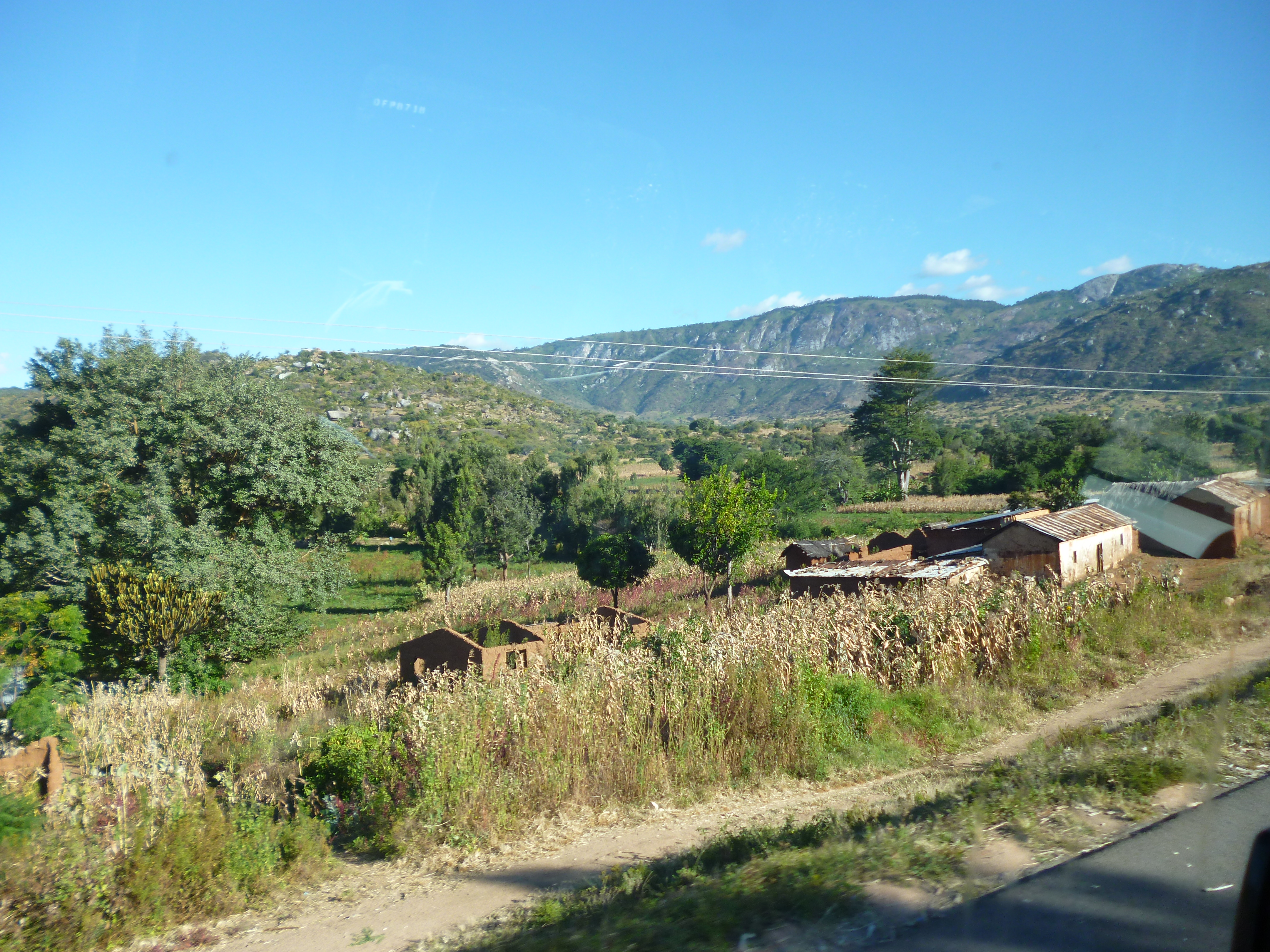
Few years back, we took a bus trip w/ my classmates from Iringa heading Mbeya region. We came across this high density tree area a for few kilometres. It was my first time that way, some people in a bus said it's scary but i enjoyed the view. #trees #msit

Jumaane in the Baobab Valley, Tanzania
Bowing out of Bulongwa
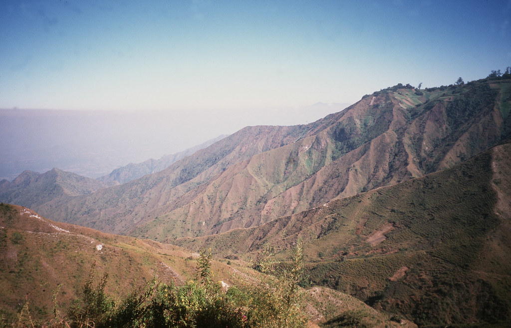
Livingstone Mountains country

Baobab Valley1
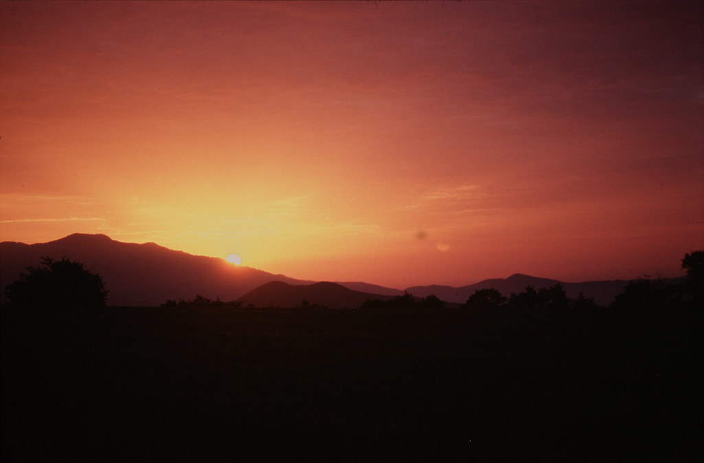
Arriving in Iringa region
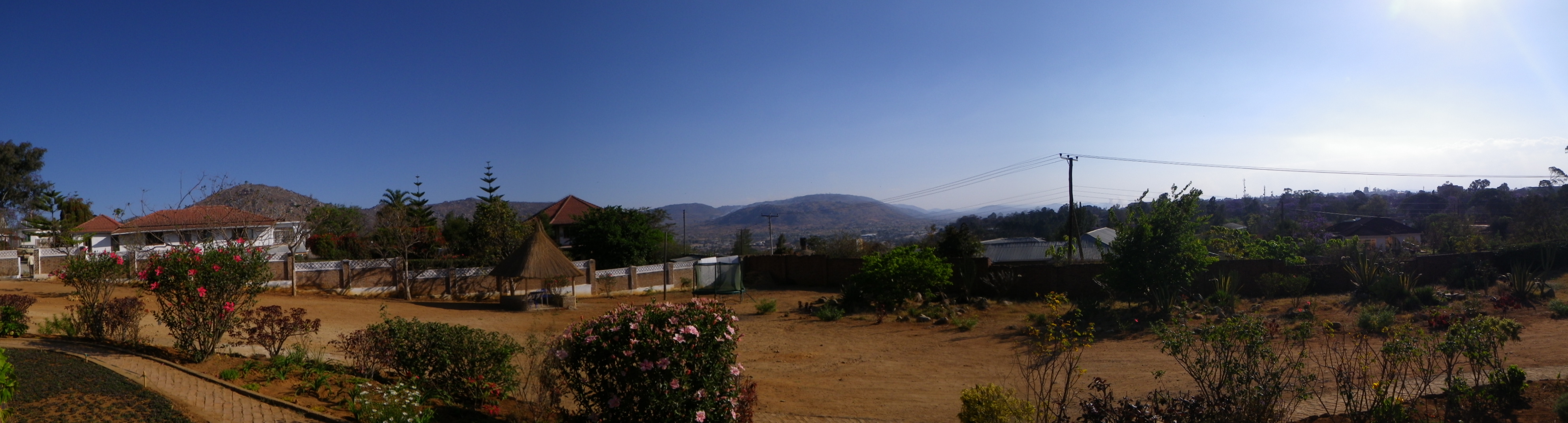
View from Sai Villa restaurant

Isimila Stone Age Site - panorama
Topographic Map of Iringa Region, Tanzania
Find elevation by address:

Places in Iringa Region, Tanzania:
Places near Iringa Region, Tanzania:
Iringa
Iringa
Gangilonga
Iringa Urban
Iringa Sunset Hotel
Nmb Kilolo Branch
Kilolo Bus Stop
Mafinga
Sao Hill
Ifwagi
Mafinga Urban
Recent Searches:
- Elevation of Corso Fratelli Cairoli, 35, Macerata MC, Italy
- Elevation of Tallevast Rd, Sarasota, FL, USA
- Elevation of 4th St E, Sonoma, CA, USA
- Elevation of Black Hollow Rd, Pennsdale, PA, USA
- Elevation of Oakland Ave, Williamsport, PA, USA
- Elevation of Pedrógão Grande, Portugal
- Elevation of Klee Dr, Martinsburg, WV, USA
- Elevation of Via Roma, Pieranica CR, Italy
- Elevation of Tavkvetili Mountain, Georgia
- Elevation of Hartfords Bluff Cir, Mt Pleasant, SC, USA