Elevation of Interlaken TAS, Australia
Location: Australia > Tasmania >
Longitude: 147.145352
Latitude: -42.161054
Elevation: 819m / 2687feet
Barometric Pressure: 92KPa
Elevation Map:
Satellite Map:
Related Photos:

Tasmania from the air

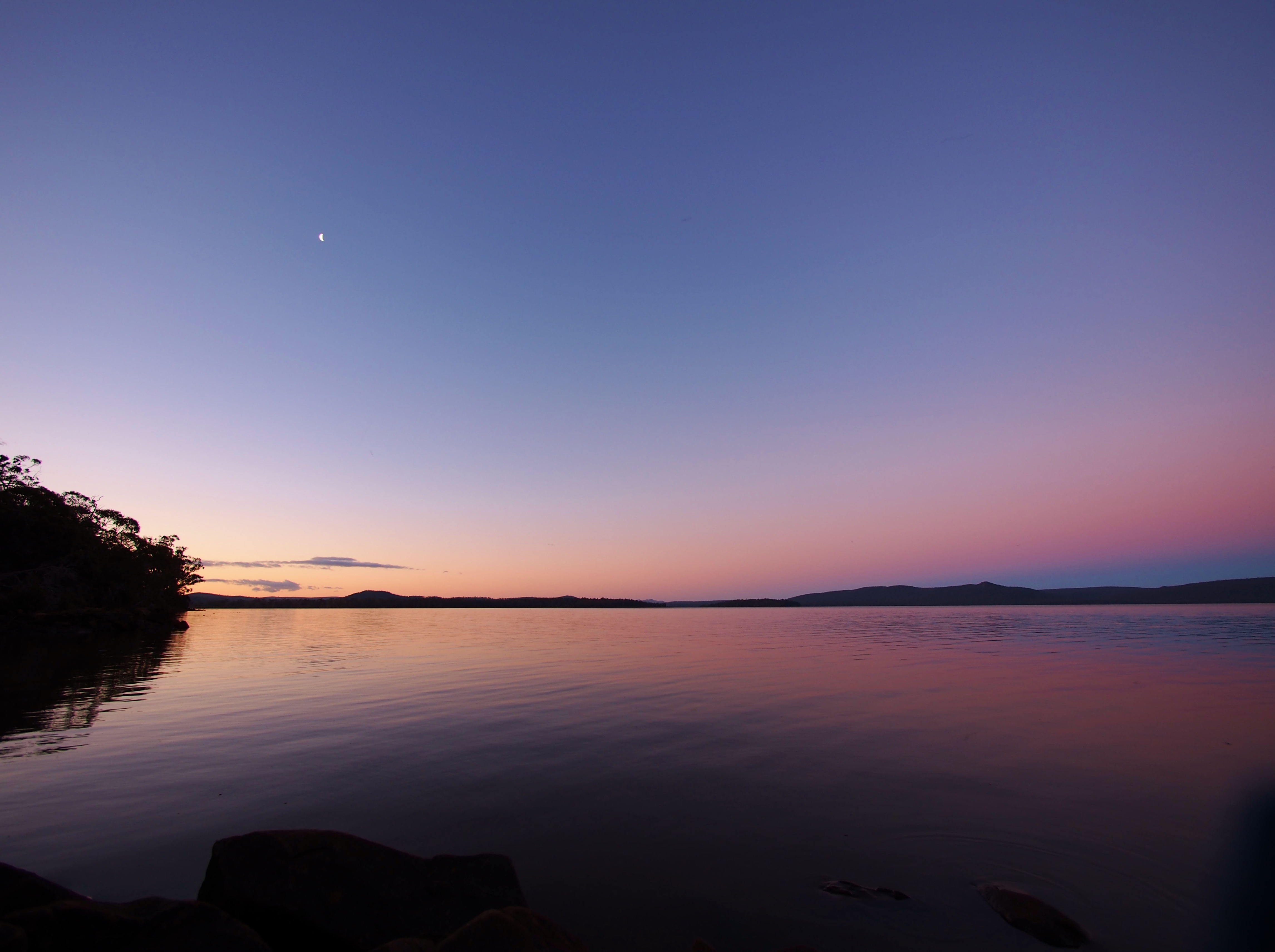
Lake Sorell Sunrise
Dago Point, Lake Sorell, Interlaken (5)

Roof Frost

Old Sluice Gate at Crescent Lake Central Highlands Tasmania

My Jeep n Table mountain from Central Highlands Tasmania

Interlaken, Tasmania 2014

Table Mountain, inaccessible to public. Central Highlands Tasmania
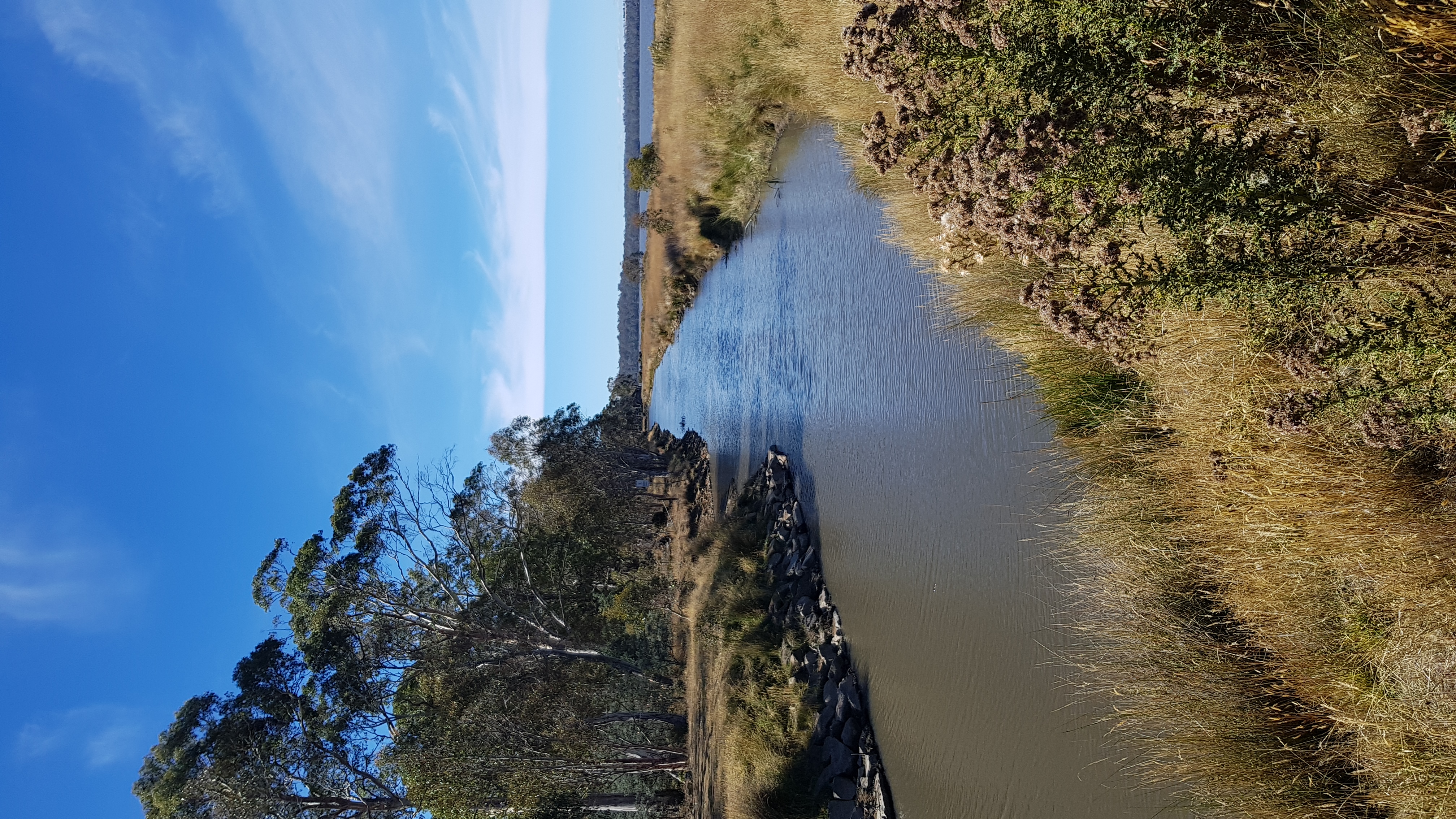
Crescent Lake Canal Central Highlands Tasmania

Tree at Interlaken, Tasmania

Interlaken Rd.

Regrowth, Lake Sorell

Camp kettle

Stars over the lake

Tree at sunset

treebound windmill

Breakfast on an open fire.

Ancient bushcraft (I)

Ancient bushcraft (II)

A town with no cheer.
Topographic Map of Interlaken TAS, Australia
Find elevation by address:

Places near Interlaken TAS, Australia:
45 Laycock Dr
85 Arthurs Lake Rd
Wilburville
Tunbridge
Arthurs Lake
23 Esplanade
Cramps Bay
Miena
Northern Midlands Council
Evandale
Western Junction
Evandale Road
Launceston Airport
6 Heald Rd
Country Club Tasmania
Prospect
10 Atlantic Pl
10 Atlantic Pl
10 Atlantic Pl
23 Mace St
Recent Searches:
- Elevation of Corso Fratelli Cairoli, 35, Macerata MC, Italy
- Elevation of Tallevast Rd, Sarasota, FL, USA
- Elevation of 4th St E, Sonoma, CA, USA
- Elevation of Black Hollow Rd, Pennsdale, PA, USA
- Elevation of Oakland Ave, Williamsport, PA, USA
- Elevation of Pedrógão Grande, Portugal
- Elevation of Klee Dr, Martinsburg, WV, USA
- Elevation of Via Roma, Pieranica CR, Italy
- Elevation of Tavkvetili Mountain, Georgia
- Elevation of Hartfords Bluff Cir, Mt Pleasant, SC, USA