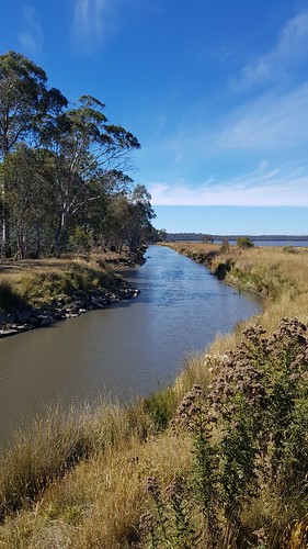
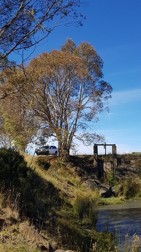
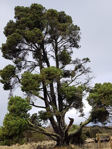
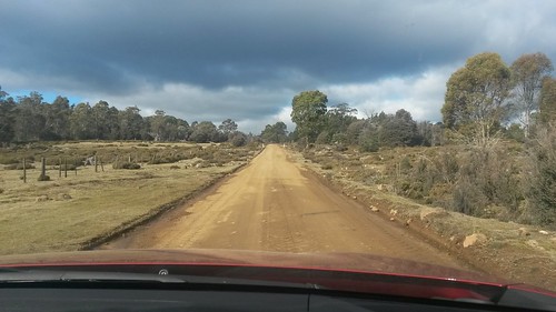
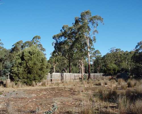
Elevation of 45 Laycock Dr, Interlaken TAS, Australia
Location: Australia > Tasmania > Interlaken >
Longitude: 147.144218
Latitude: -42.159152
Elevation: 820m / 2690feet
Barometric Pressure: 92KPa
Related Photos:
Topographic Map of 45 Laycock Dr, Interlaken TAS, Australia
Find elevation by address:

Places near 45 Laycock Dr, Interlaken TAS, Australia:
Interlaken
85 Arthurs Lake Rd
Wilburville
Tunbridge
Arthurs Lake
23 Esplanade
Cramps Bay
Miena
Northern Midlands Council
Evandale
Western Junction
Evandale Road
Launceston Airport
6 Heald Rd
Country Club Tasmania
Prospect
10 Atlantic Pl
10 Atlantic Pl
10 Atlantic Pl
23 Mace St
Recent Searches:
- Elevation of Corso Fratelli Cairoli, 35, Macerata MC, Italy
- Elevation of Tallevast Rd, Sarasota, FL, USA
- Elevation of 4th St E, Sonoma, CA, USA
- Elevation of Black Hollow Rd, Pennsdale, PA, USA
- Elevation of Oakland Ave, Williamsport, PA, USA
- Elevation of Pedrógão Grande, Portugal
- Elevation of Klee Dr, Martinsburg, WV, USA
- Elevation of Via Roma, Pieranica CR, Italy
- Elevation of Tavkvetili Mountain, Georgia
- Elevation of Hartfords Bluff Cir, Mt Pleasant, SC, USA


