Elevation of Western Junction TAS, Australia
Location: Australia > Tasmania > Northern Midlands Council >
Longitude: 147.2091657
Latitude: -41.5545281
Elevation: 174m / 571feet
Barometric Pressure: 0KPa
Related Photos:

Front Garden

St John Street

The Duckpond

Crabtree's Corner

Village Green

Photographic Relic

Evandale General Store

Shadows on the Royal Oak

Harland Rise (colour version)

Colonial Mansion

Early Light
unfolding the view

The old Gasworks building

Christ Church

Mother and Child

Antiques & Collectibles

Old Wesleyan Chapel

View from the bridge

The Dombrovskis Legacy

Shooting Star

Arts-Legal Precinct

While You Were Sleeping

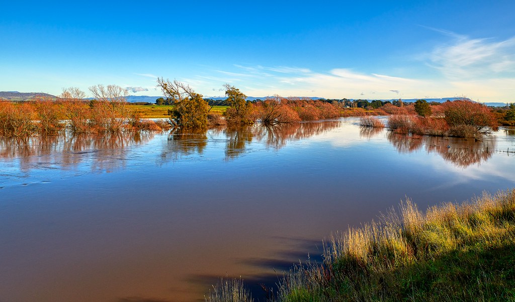
Still Water

St Andrew's Evandale

Clarendon Estate
Our Country
Jurassic Rock

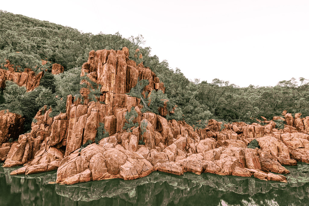
Ancient Gorge

Evandale Pastures

Greener Pastures

Lily Pond

Ferns #3

Autumn Sunrise

Dog Rock Bend

Art House 1888
Storm Brewing

Deep Time

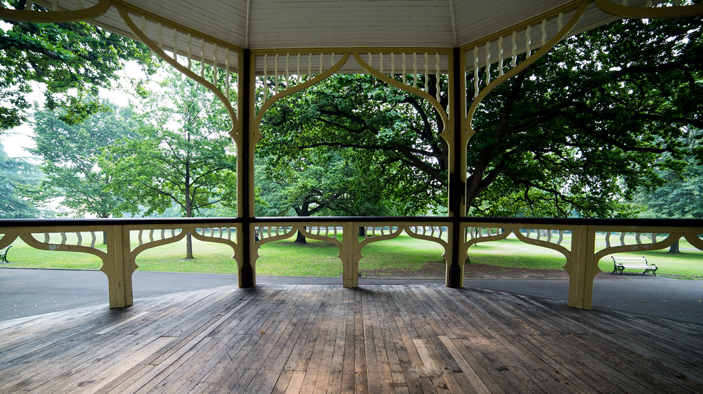
Falls Park Pavilion
Topographic Map of Western Junction TAS, Australia
Find elevation by address:

Places in Western Junction TAS, Australia:
Places near Western Junction TAS, Australia:
Evandale Road
Launceston Airport
Evandale
Prospect
23 Mace St
10 Atlantic Pl
10 Atlantic Pl
10 Atlantic Pl
Bellevue Avenue
10 Jardine Cres
97 Lawrence Vale Rd
25 Peel St
South Launceston
7 Meredith Cres
25 Essendon St
2 Wylrose Pl
29 Heather St
75 Wentworth St
Newstead
11a Eardley St
Recent Searches:
- Elevation map of Greenland, Greenland
- Elevation of Sullivan Hill, New York, New York, 10002, USA
- Elevation of Morehead Road, Withrow Downs, Charlotte, Mecklenburg County, North Carolina, 28262, USA
- Elevation of 2800, Morehead Road, Withrow Downs, Charlotte, Mecklenburg County, North Carolina, 28262, USA
- Elevation of Yangbi Yi Autonomous County, Yunnan, China
- Elevation of Pingpo, Yangbi Yi Autonomous County, Yunnan, China
- Elevation of Mount Malong, Pingpo, Yangbi Yi Autonomous County, Yunnan, China
- Elevation map of Yongping County, Yunnan, China
- Elevation of North 8th Street, Palatka, Putnam County, Florida, 32177, USA
- Elevation of 107, Big Apple Road, East Palatka, Putnam County, Florida, 32131, USA
- Elevation of Jiezi, Chongzhou City, Sichuan, China
- Elevation of Chongzhou City, Sichuan, China
- Elevation of Huaiyuan, Chongzhou City, Sichuan, China
- Elevation of Qingxia, Chengdu, Sichuan, China
- Elevation of Corso Fratelli Cairoli, 35, Macerata MC, Italy
- Elevation of Tallevast Rd, Sarasota, FL, USA
- Elevation of 4th St E, Sonoma, CA, USA
- Elevation of Black Hollow Rd, Pennsdale, PA, USA
- Elevation of Oakland Ave, Williamsport, PA, USA
- Elevation of Pedrógão Grande, Portugal