Elevation of Indio, CA, USA
Location: United States > California > Riverside County > Indio >
Longitude: -116.1713917
Latitude: 33.745603
Elevation: 30m / 98feet
Barometric Pressure: 0KPa
Related Photos:

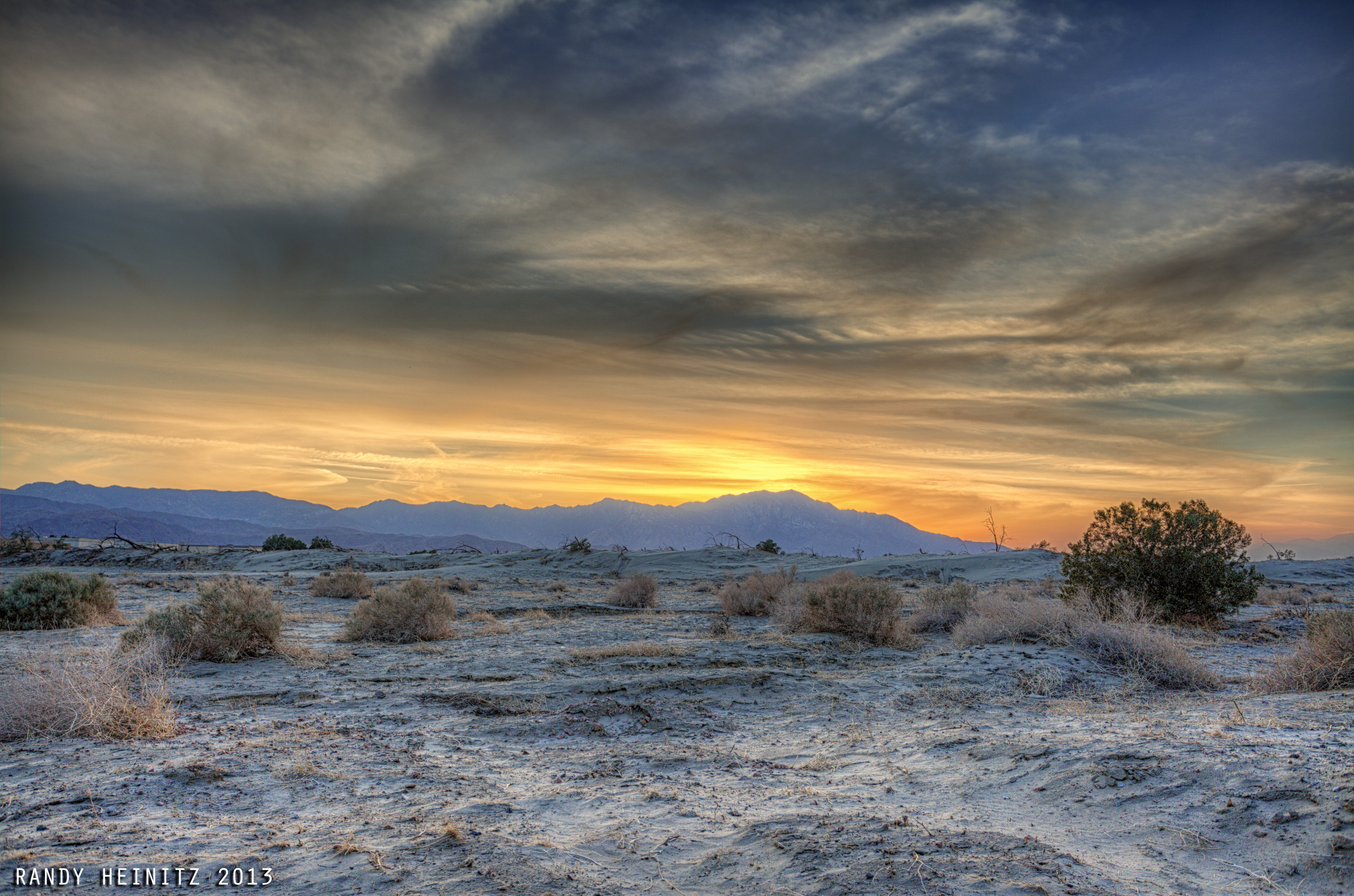
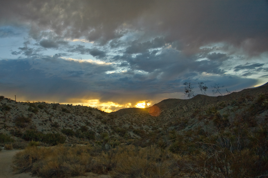
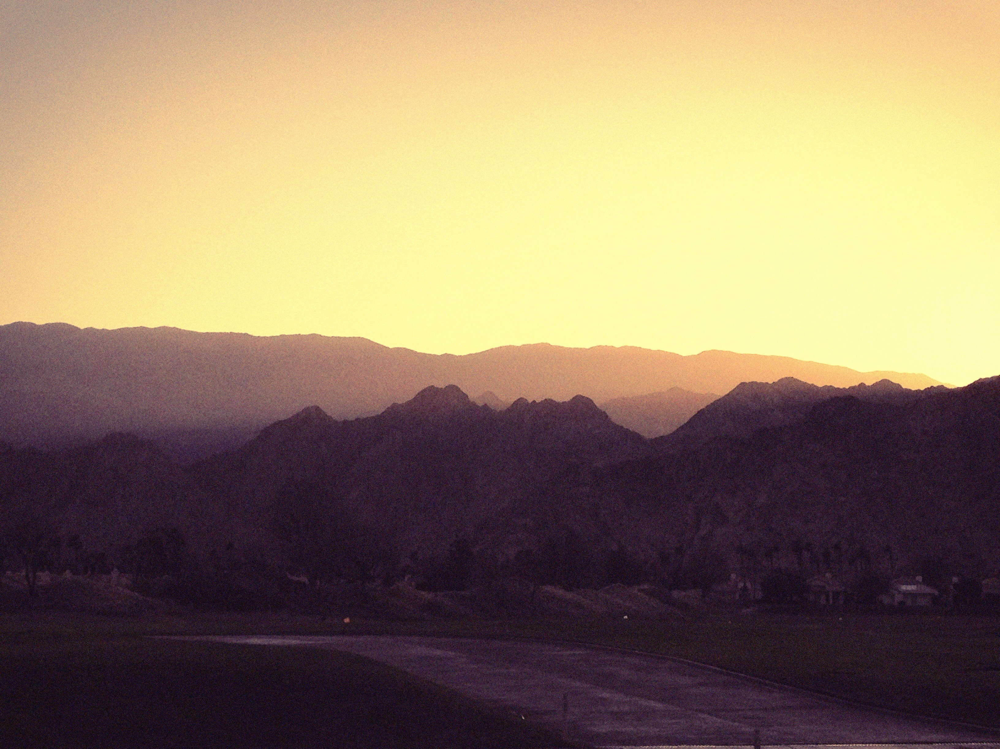
Sunrise 11_8_2010
An arrow in the sand, Riverside County, California

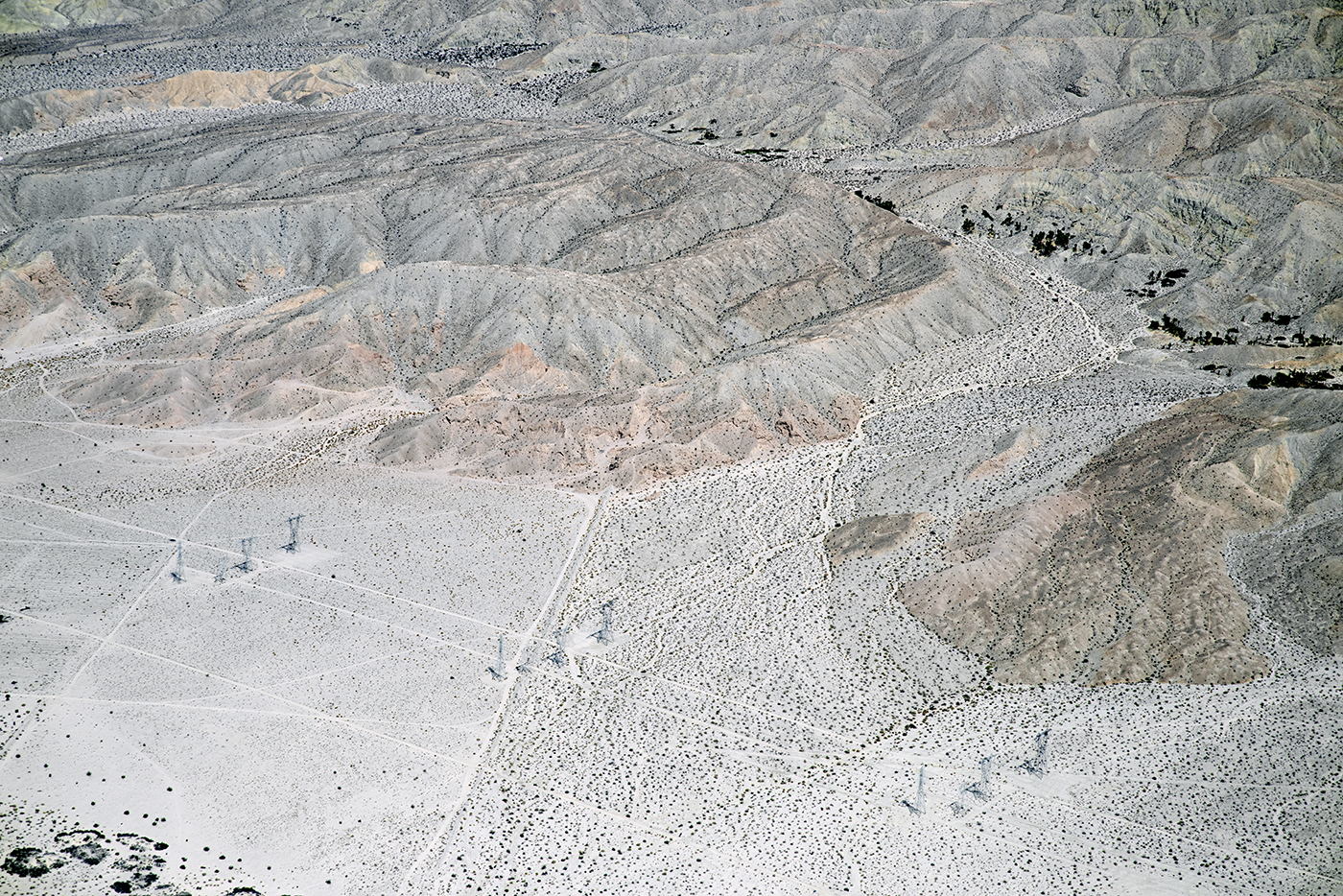
Above Granite Construction Quarry, Indio, Riverside County, California

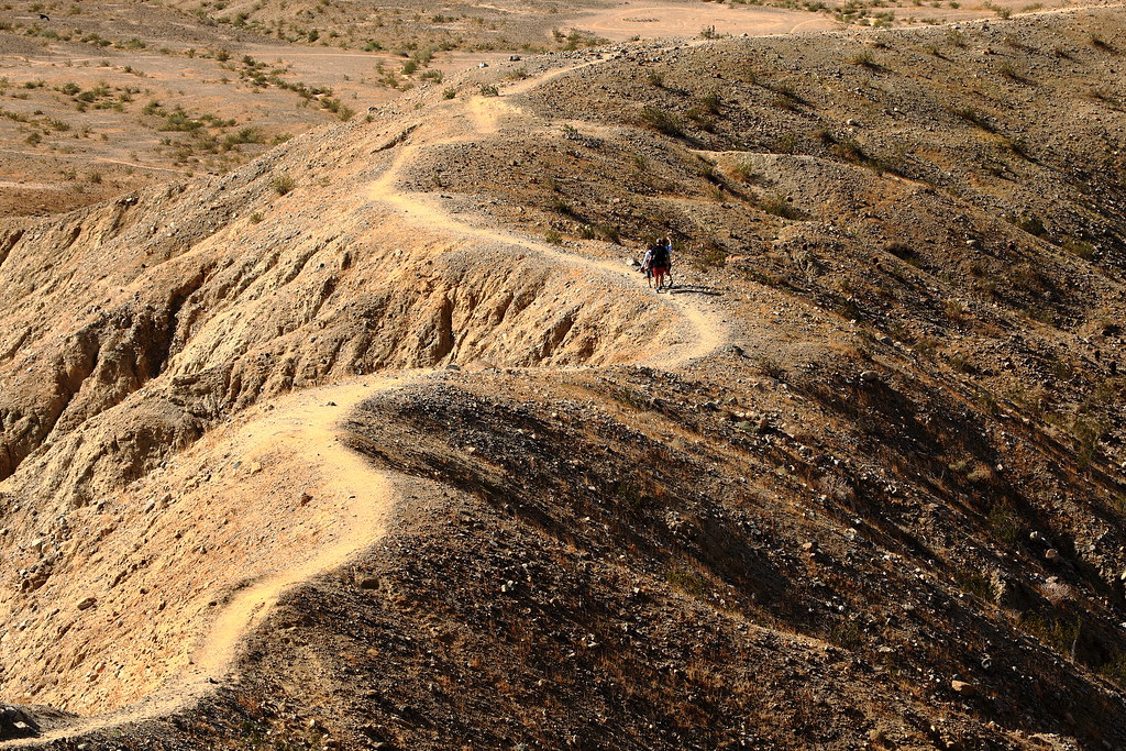
Dead's Eye View
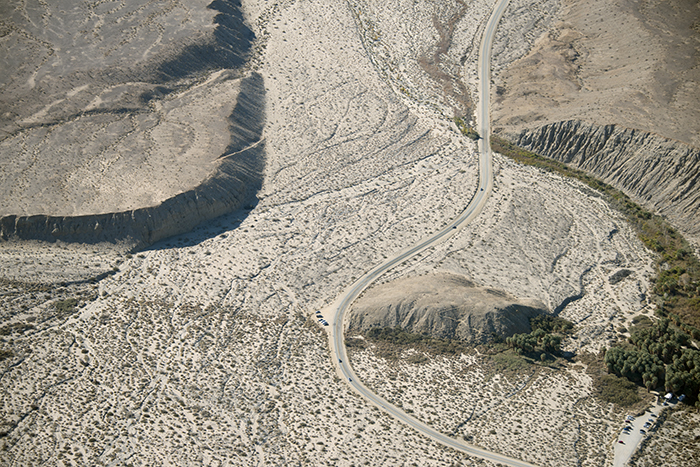
Above Thousand Palms Oasis and the Mission Creek strand of the San Andreas Fault
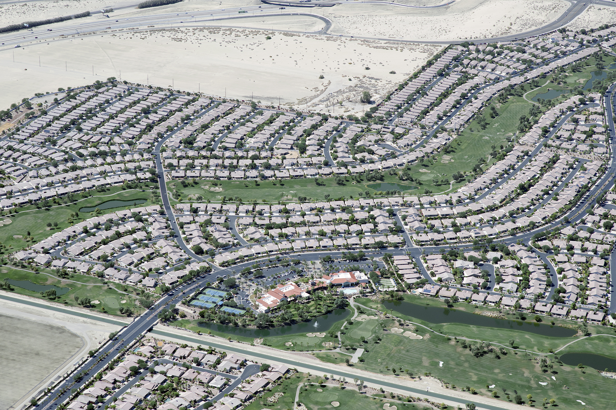
Aerial view of Sun City Shadow Hills, Indio, Coachella Valley, Riverside County, California
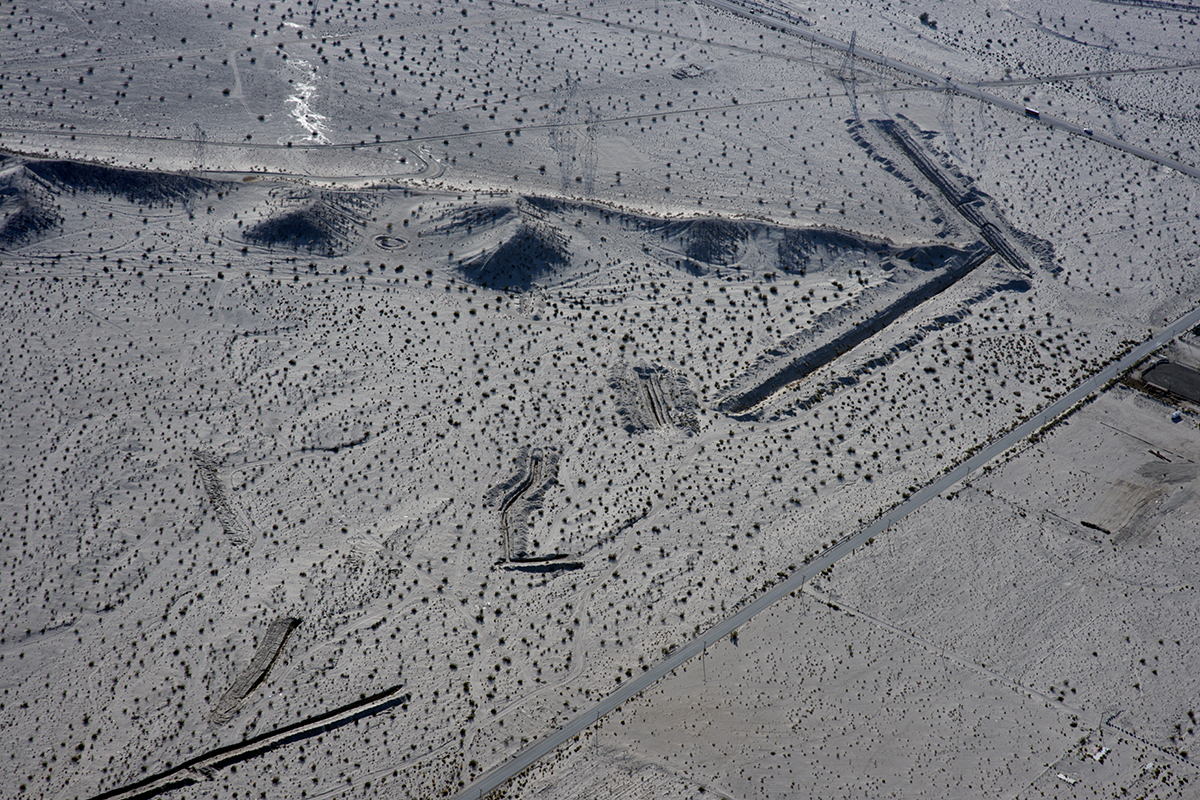
Aerial view of the San Andreas Fault Zone, Indio Hills, Riverside County, California
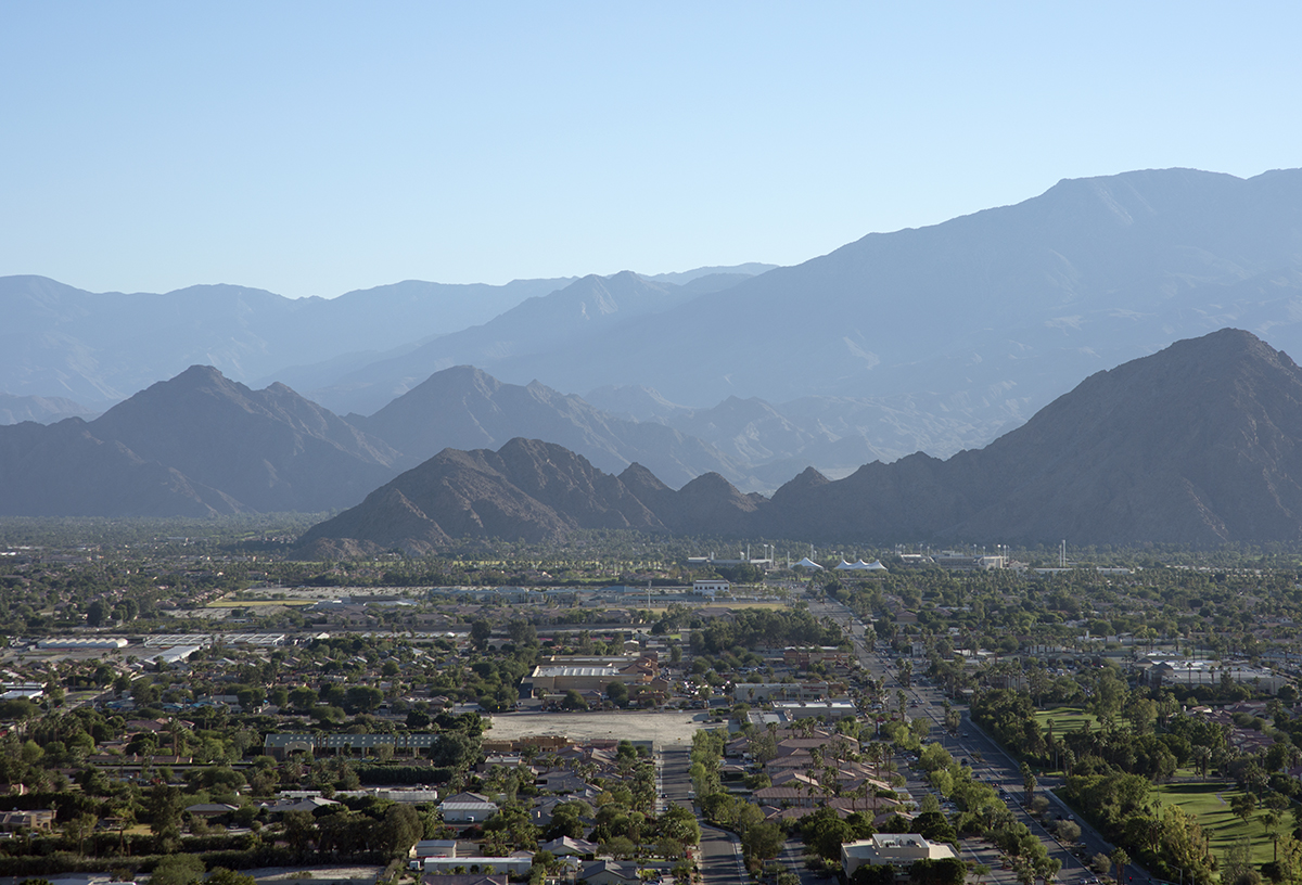
Aerial view of Point Happy and the Indian Wells Tennis Garden, Coachella Valley, California

Sunset view from Homewood Suites by Hilton La Quinta, CA

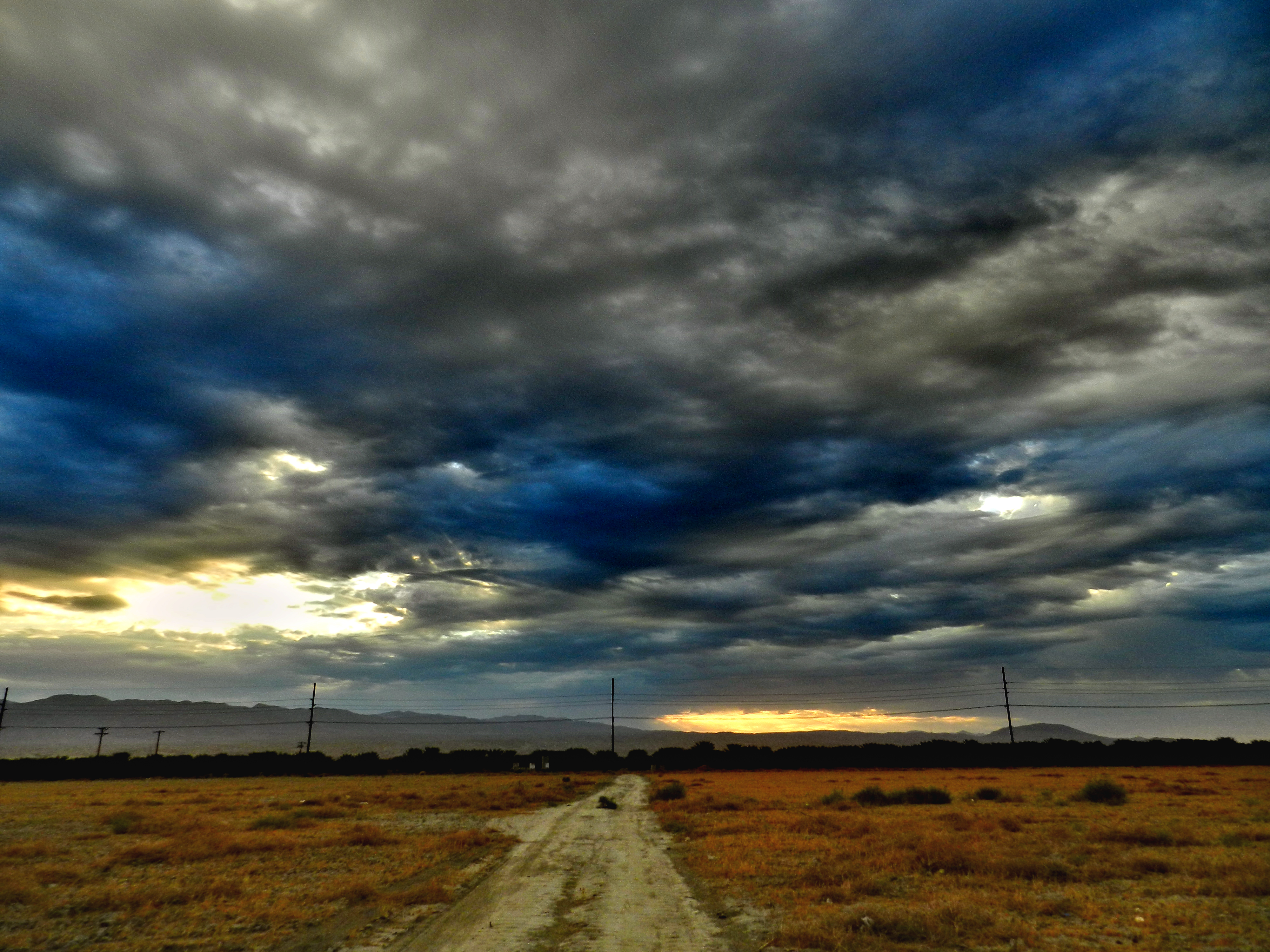
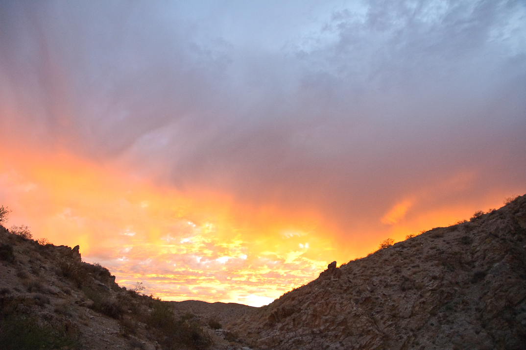
Morning Sunrise Clouds_1

Morning Sunrise Clouds_2

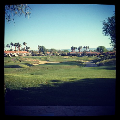
#Pretty #Sunset over the #golfcourse in #psp #laquinta #palmtrees #view #sun #sky #beautiful #palm
Berdoo Camp

Brunch view
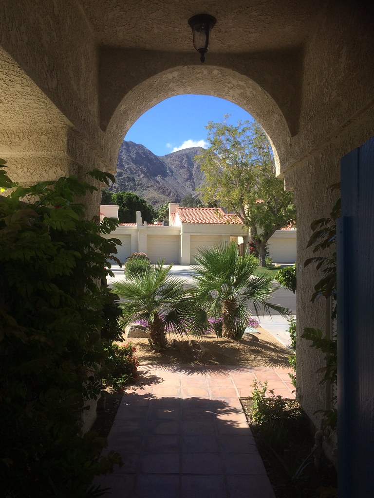
view out the front - Santa Rosa Cove

Patio Chair
Palm Shadows

Hubbs @rigz8 smashing #golfballs #golf #fun #gregnorman #laquinta #pgawest #drivingrange #view #mountain #grass

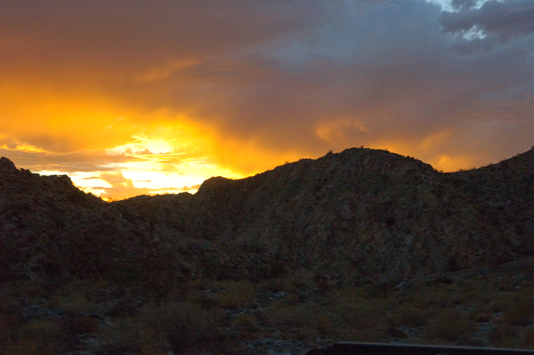
#Desert #sunset over the #EisenhowerMountains #IndianWells #psp #cactus #view #nofilter #sky #beautiful #palm #palmsprings #sun #colorful #pretty #cool

It's good to be a kid

Californian view

Danbo Ready to Tee Off

Days End at The American Canal

Palm Springs Vista
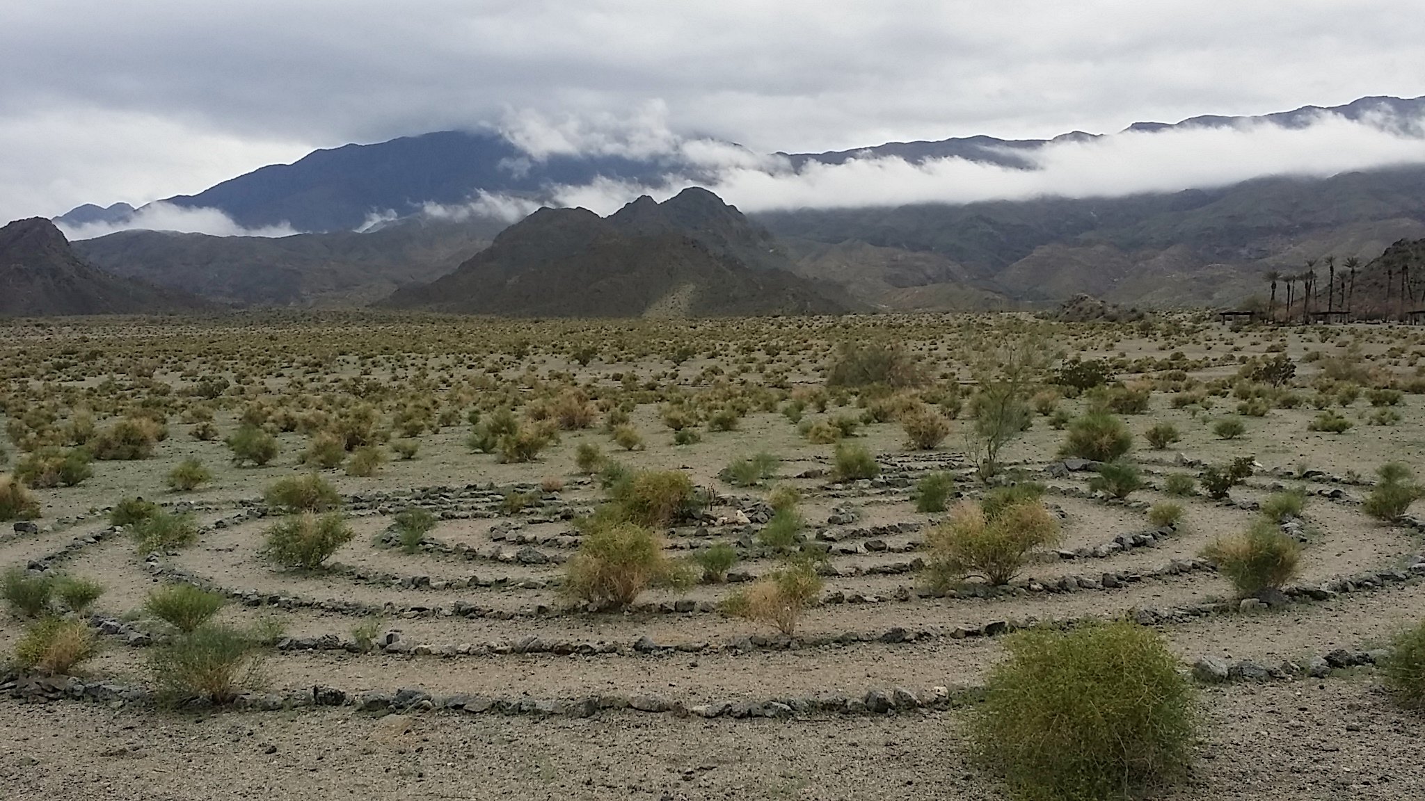
Pushwalla Trail
A New Normal?
On the way to #pioneertown in the #california high desert. #southerncalifornia #redemption #daily #bigbear #snow #spring
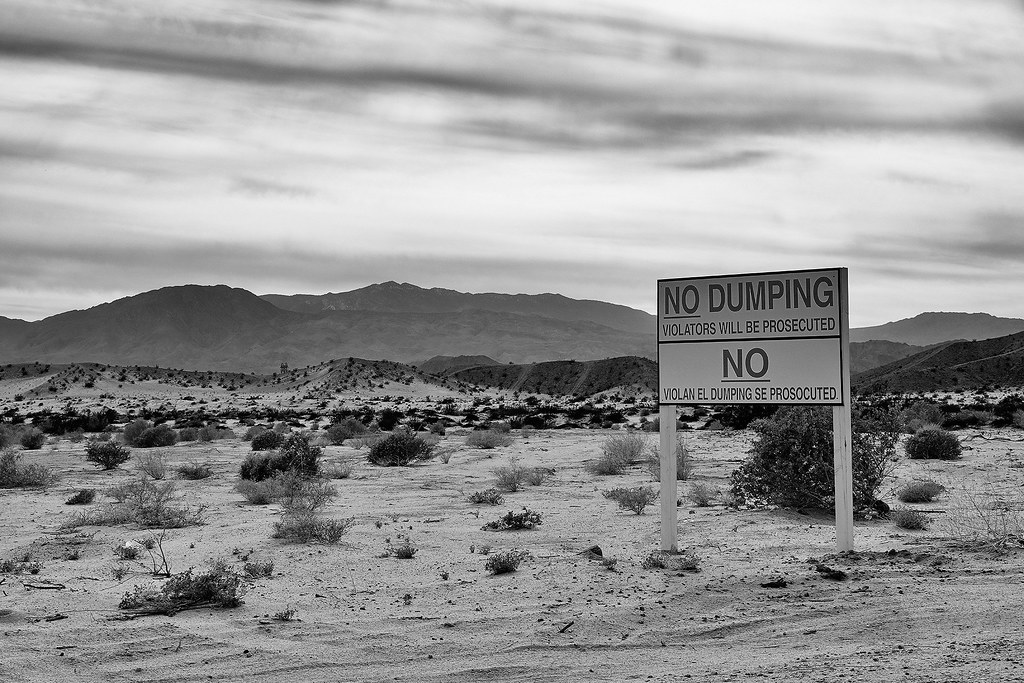
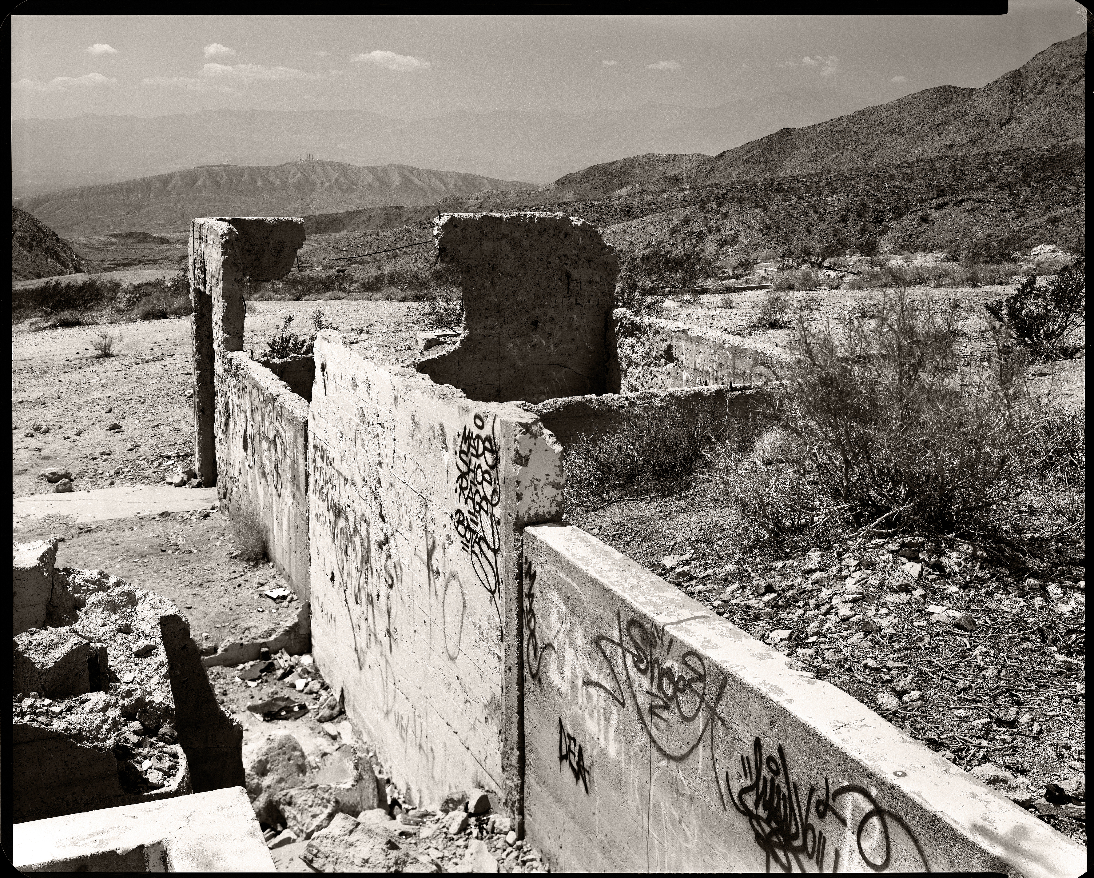
se prosocuted. indio, ca. 2014.
IV Mirage 03.12.12
Life & Death

#the desert #oggl
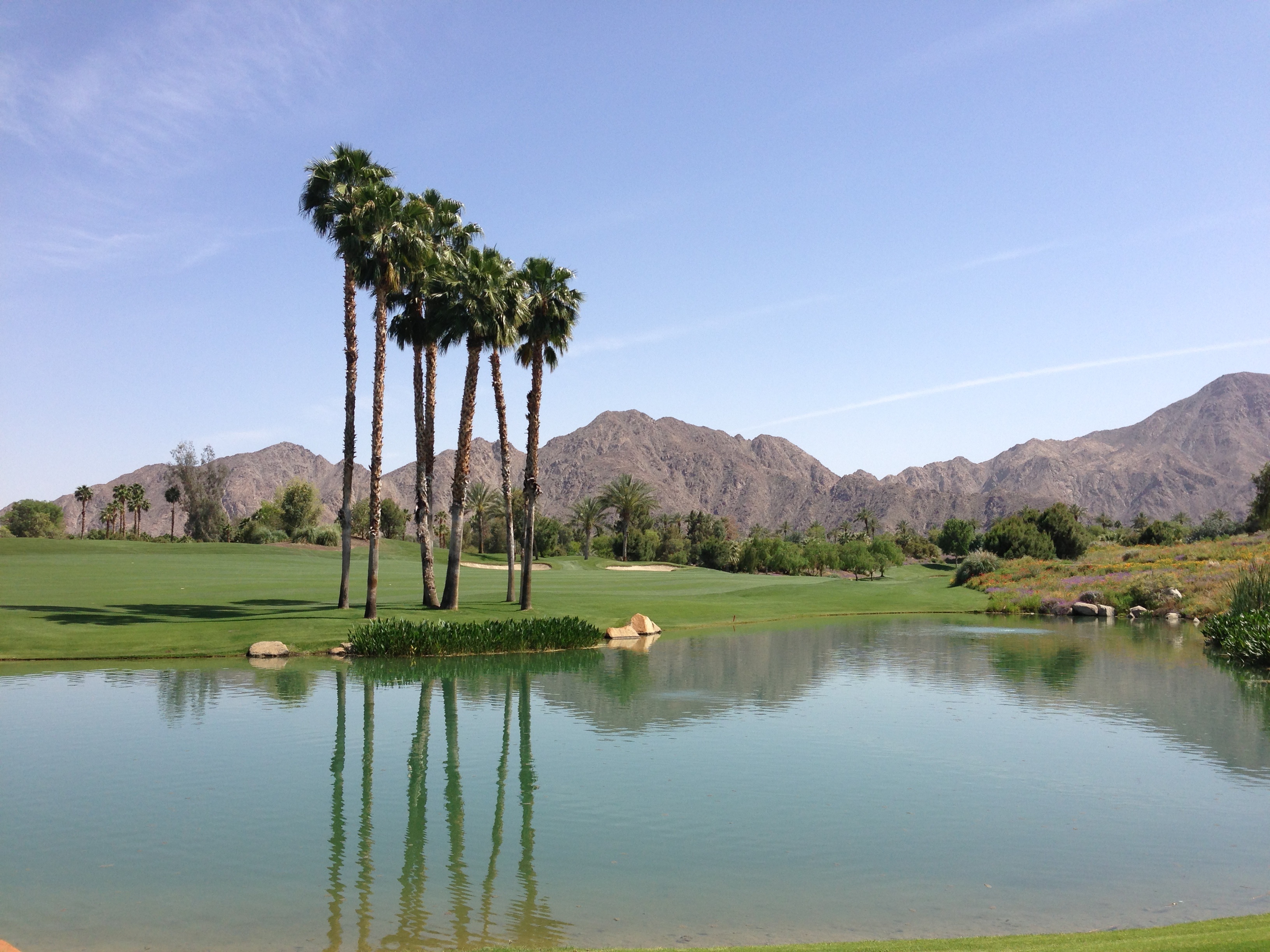
#Reflection over the #lake at the #1sttee #golf #gregnorman #pgawest #laquinta #psp #palm #palmsprings #sky #clouds #mountain #trees #pretty
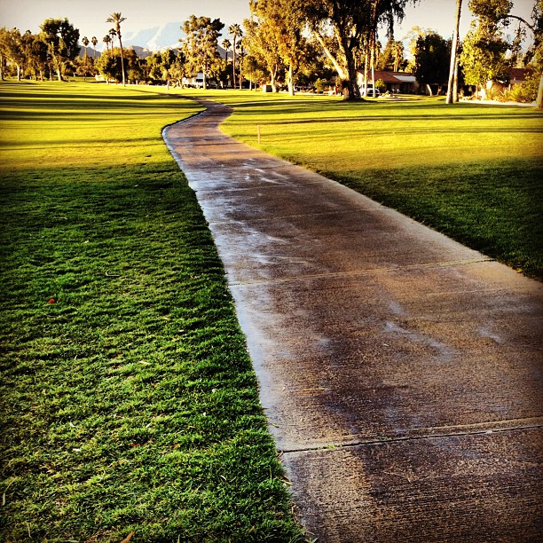
#sidewalk #golfcourse #justwatered
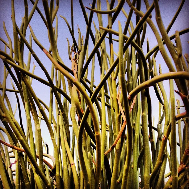
#cactus
PalmSprings-50
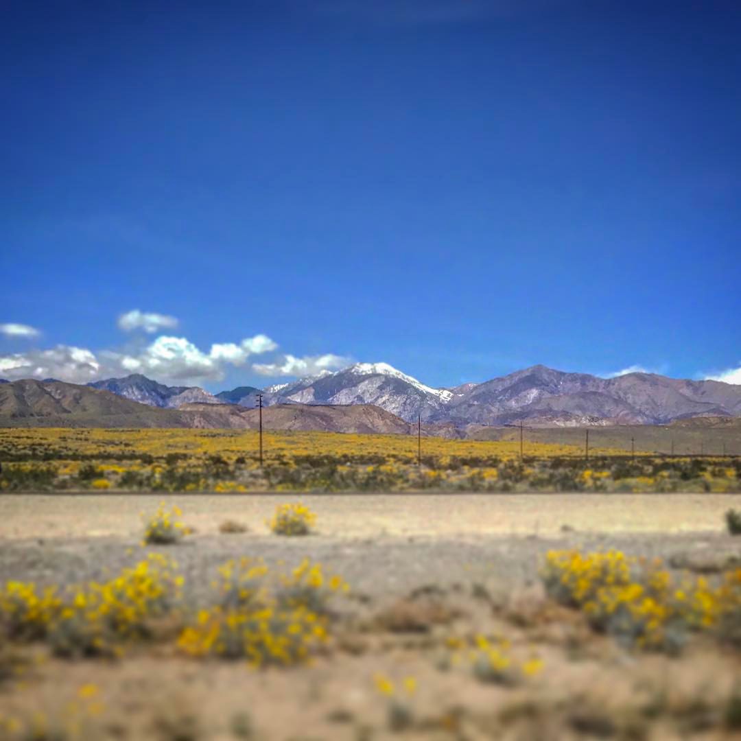
2013-April-23 at 7-36-AM-LA(33.724)-LO(-116.338)
PalmSprings-55
Good morning!
PalmSprings-43
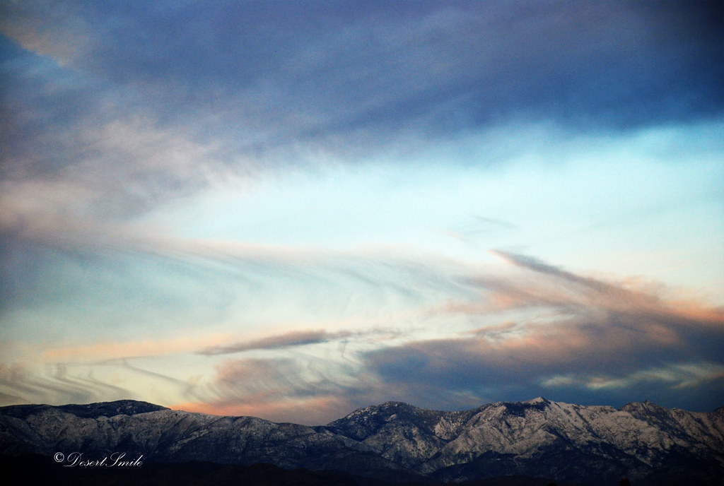
Morning Sky
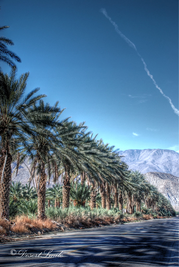
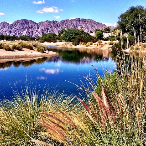
La Quinta
sunset in Palm Springs
Topographic Map of Indio, CA, USA
Find elevation by address:

Places near Indio, CA, USA:
43509 Adria Dr
85132 Stazzano Pl
42900 Golf Center Pkwy
83331 Skyline Trail Rd
Fargo Canyon Road
43715 Jackson St
Indio
Mountain View Avenue
Indio, CA, USA
Coachella
48550 El Arco St
Grapefruit Blvd, Coachella, CA, USA
1377 6th St
Zandi Way, Indio, CA, USA
Smoketree Apartments
San Salvador, Indio, CA, USA
82389 Samantha Ct
49817 Mclaine Dr
Neil's Lounge
CA-, Indio, CA, USA
Recent Searches:
- Elevation of 10370, West 107th Circle, Westminster, Jefferson County, Colorado, 80021, USA
- Elevation of 611, Roman Road, Old Ford, Bow, London, England, E3 2RW, United Kingdom
- Elevation of 116, Beartown Road, Underhill, Chittenden County, Vermont, 05489, USA
- Elevation of Window Rock, Colfax County, New Mexico, 87714, USA
- Elevation of 4807, Rosecroft Street, Kempsville Gardens, Virginia Beach, Virginia, 23464, USA
- Elevation map of Matawinie, Quebec, Canada
- Elevation of Sainte-Émélie-de-l'Énergie, Matawinie, Quebec, Canada
- Elevation of Rue du Pont, Sainte-Émélie-de-l'Énergie, Matawinie, Quebec, J0K2K0, Canada
- Elevation of 8, Rue de Bécancour, Blainville, Thérèse-De Blainville, Quebec, J7B1N2, Canada
- Elevation of Wilmot Court North, 163, University Avenue West, Northdale, Waterloo, Region of Waterloo, Ontario, N2L6B6, Canada
- Elevation map of Panamá Province, Panama
- Elevation of Balboa, Panamá Province, Panama
- Elevation of San Miguel, Balboa, Panamá Province, Panama
- Elevation of Isla Gibraleón, San Miguel, Balboa, Panamá Province, Panama
- Elevation of 4655, Krischke Road, Schulenburg, Fayette County, Texas, 78956, USA
- Elevation of Carnegie Avenue, Downtown Cleveland, Cleveland, Cuyahoga County, Ohio, 44115, USA
- Elevation of Walhonding, Coshocton County, Ohio, USA
- Elevation of Clifton Down, Clifton, Bristol, City of Bristol, England, BS8 3HU, United Kingdom
- Elevation map of Auvergne-Rhône-Alpes, France
- Elevation map of Upper Savoy, Auvergne-Rhône-Alpes, France