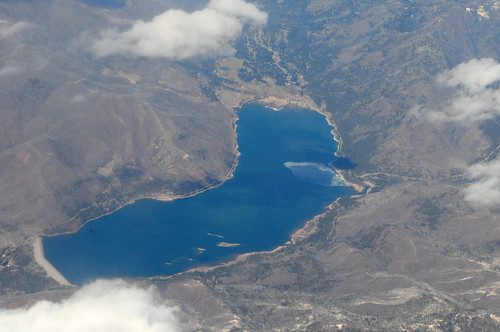
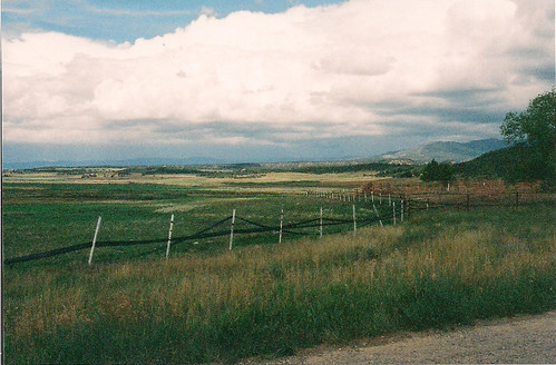
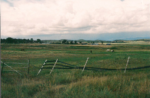
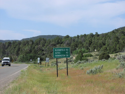
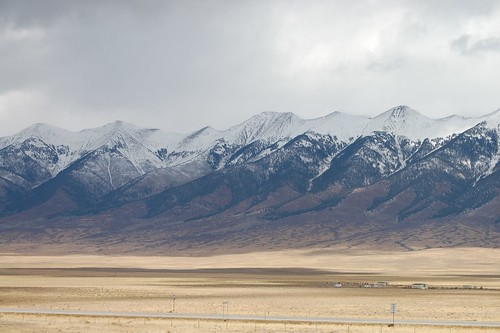
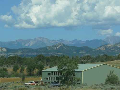
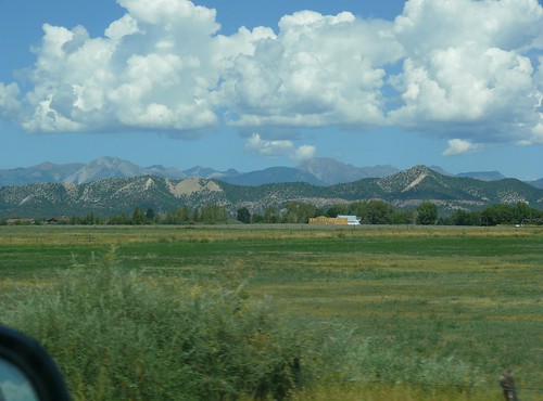
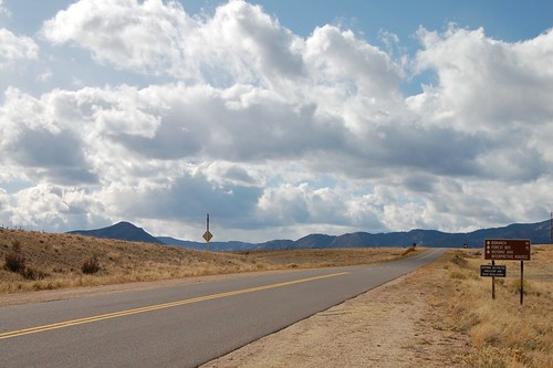
Elevation of Ignacio, CO, USA
Location: United States > Colorado > La Plata County >
Longitude: -107.63311
Latitude: 37.1150037
Elevation: 1966m / 6450feet
Barometric Pressure: 80KPa
Related Photos:
Topographic Map of Ignacio, CO, USA
Find elevation by address:

Places in Ignacio, CO, USA:
Places near Ignacio, CO, USA:
512 Arboles St
Southern Ute Reservation
805 Co Rd 316
12467 Co-172
139 Payne Ln
Co Rd, Ignacio, CO, USA
US-, Bayfield, CO, USA
Bayfield
Forest Lakes Metro District
178 Sundance Hills Rd
206 Dove Ranch Rd
35011 Us-160
710 Ranchos Florida Dr
Brice Canyon
Co Rd, Durango, CO, USA
La Plata County
10 Encantado Ct
2518 Co-172
1364 E Pioneer Dr
260 E Pioneer Dr
Recent Searches:
- Elevation of Corso Fratelli Cairoli, 35, Macerata MC, Italy
- Elevation of Tallevast Rd, Sarasota, FL, USA
- Elevation of 4th St E, Sonoma, CA, USA
- Elevation of Black Hollow Rd, Pennsdale, PA, USA
- Elevation of Oakland Ave, Williamsport, PA, USA
- Elevation of Pedrógão Grande, Portugal
- Elevation of Klee Dr, Martinsburg, WV, USA
- Elevation of Via Roma, Pieranica CR, Italy
- Elevation of Tavkvetili Mountain, Georgia
- Elevation of Hartfords Bluff Cir, Mt Pleasant, SC, USA
