Elevation of ID-78, Melba, ID, USA
Location: United States > Idaho > Owyhee County > Melba >
Longitude: -116.71139
Latitude: 43.4211335
Elevation: 684m / 2244feet
Barometric Pressure: 93KPa
Elevation Map:
Satellite Map:
Related Photos:
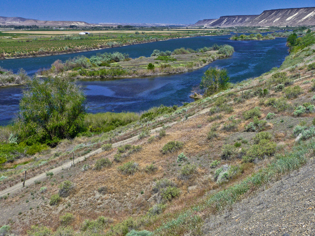
The Snake River in SW Idaho -- P1020868
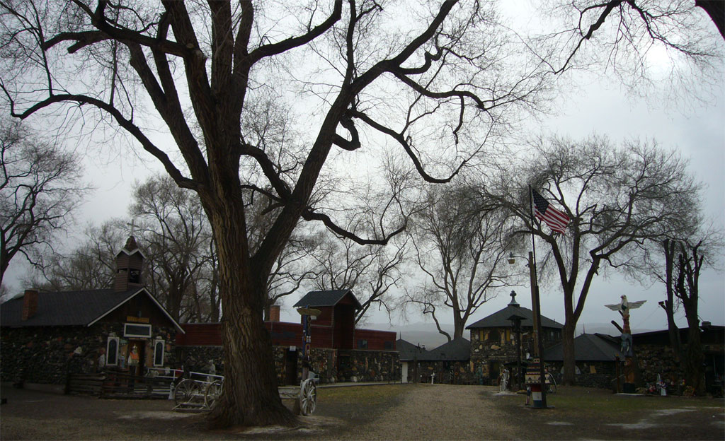
100312h - Cleo's Ferry Museum
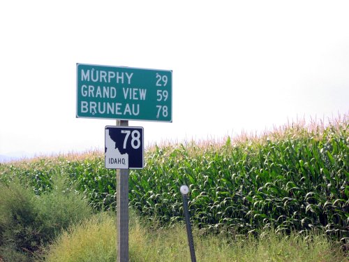
ID-78 East - Distance Marker

100312g - Cleo's Ferry Museum
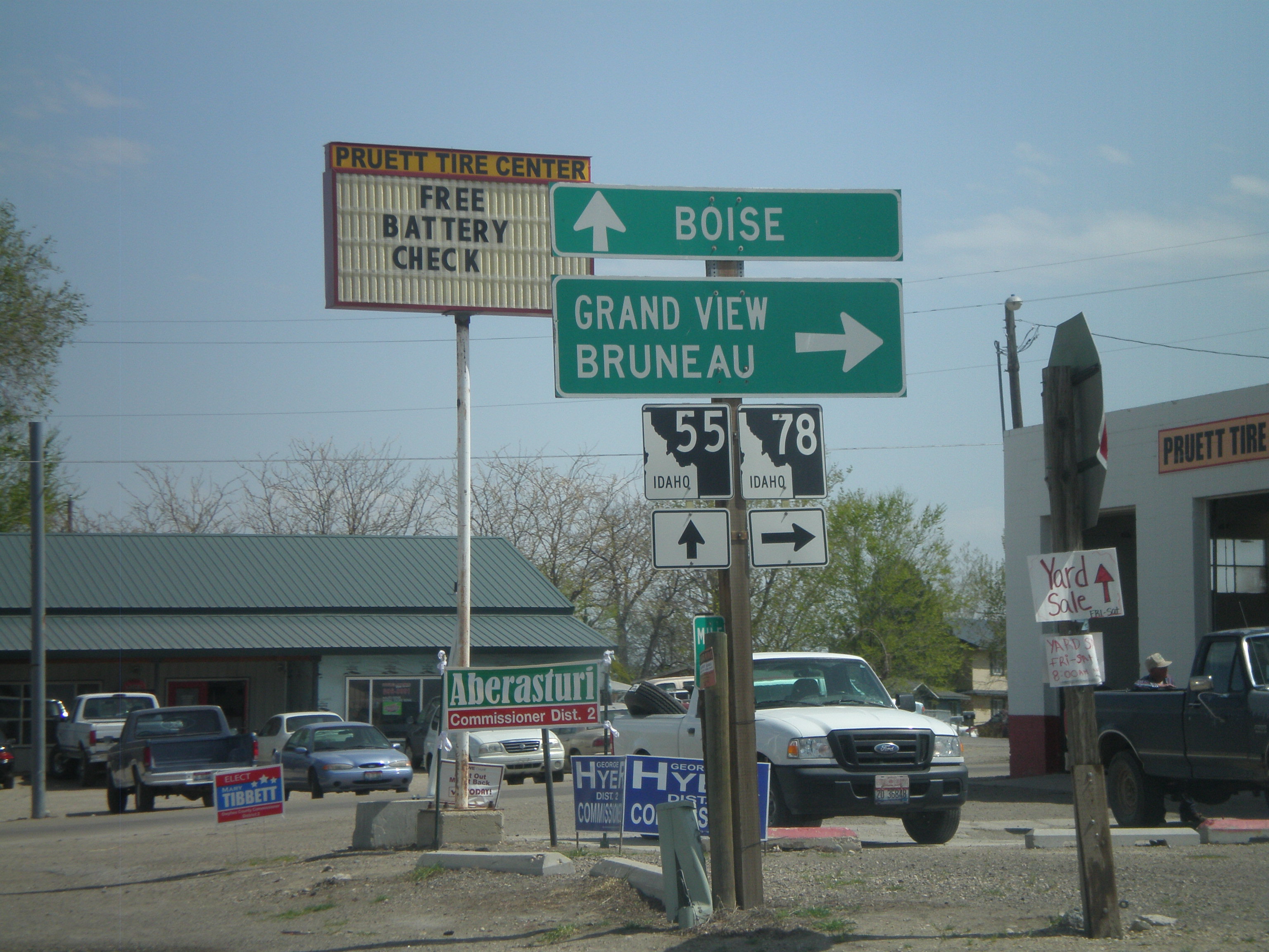
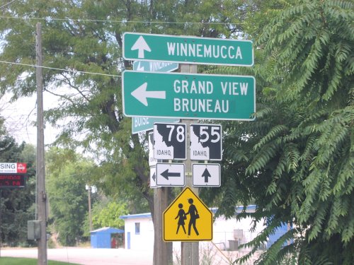
ID-55 North at ID-78
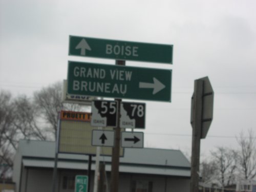
ID-55 South at ID-78
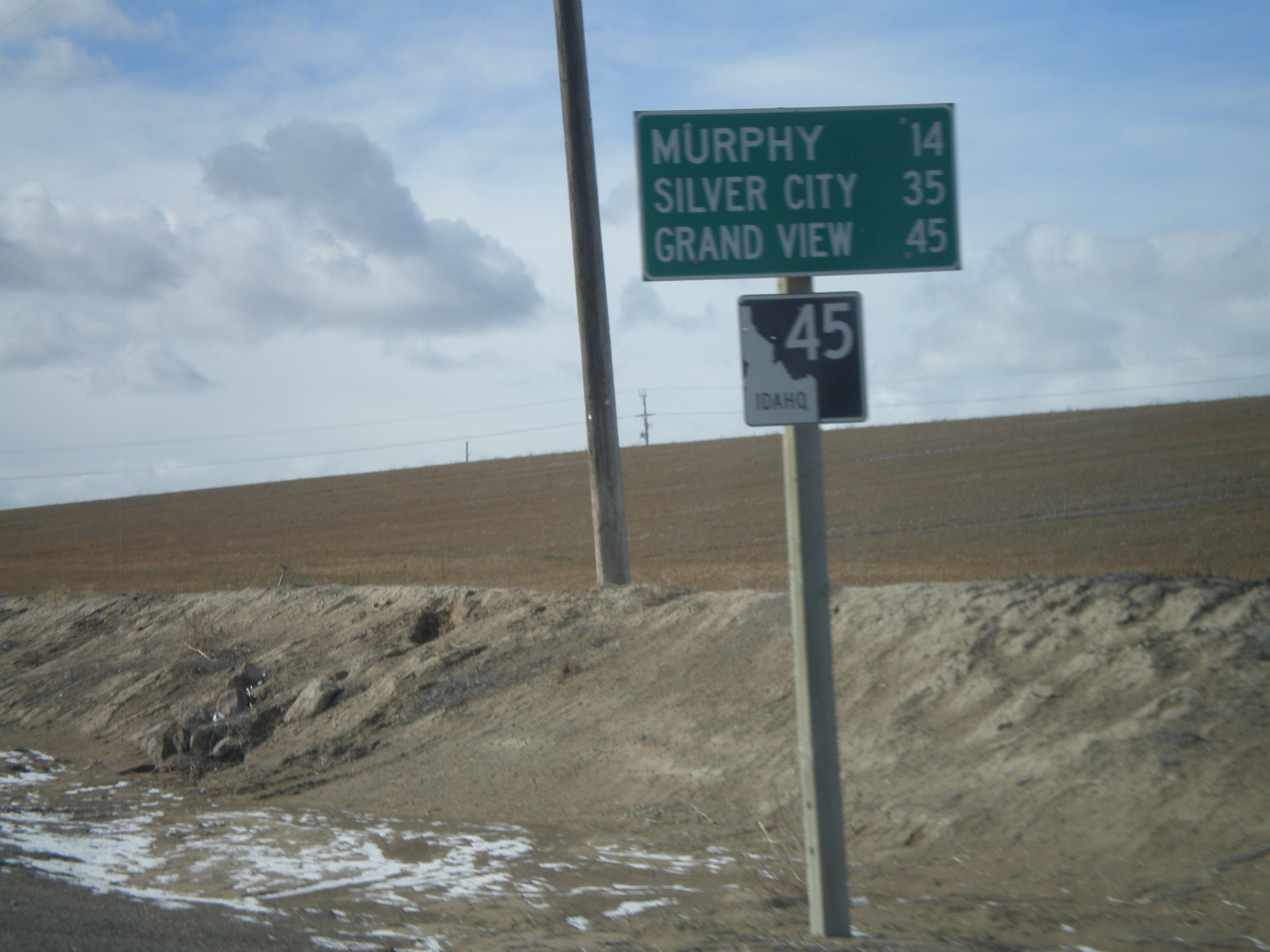
ID-45 South - Distance Marker
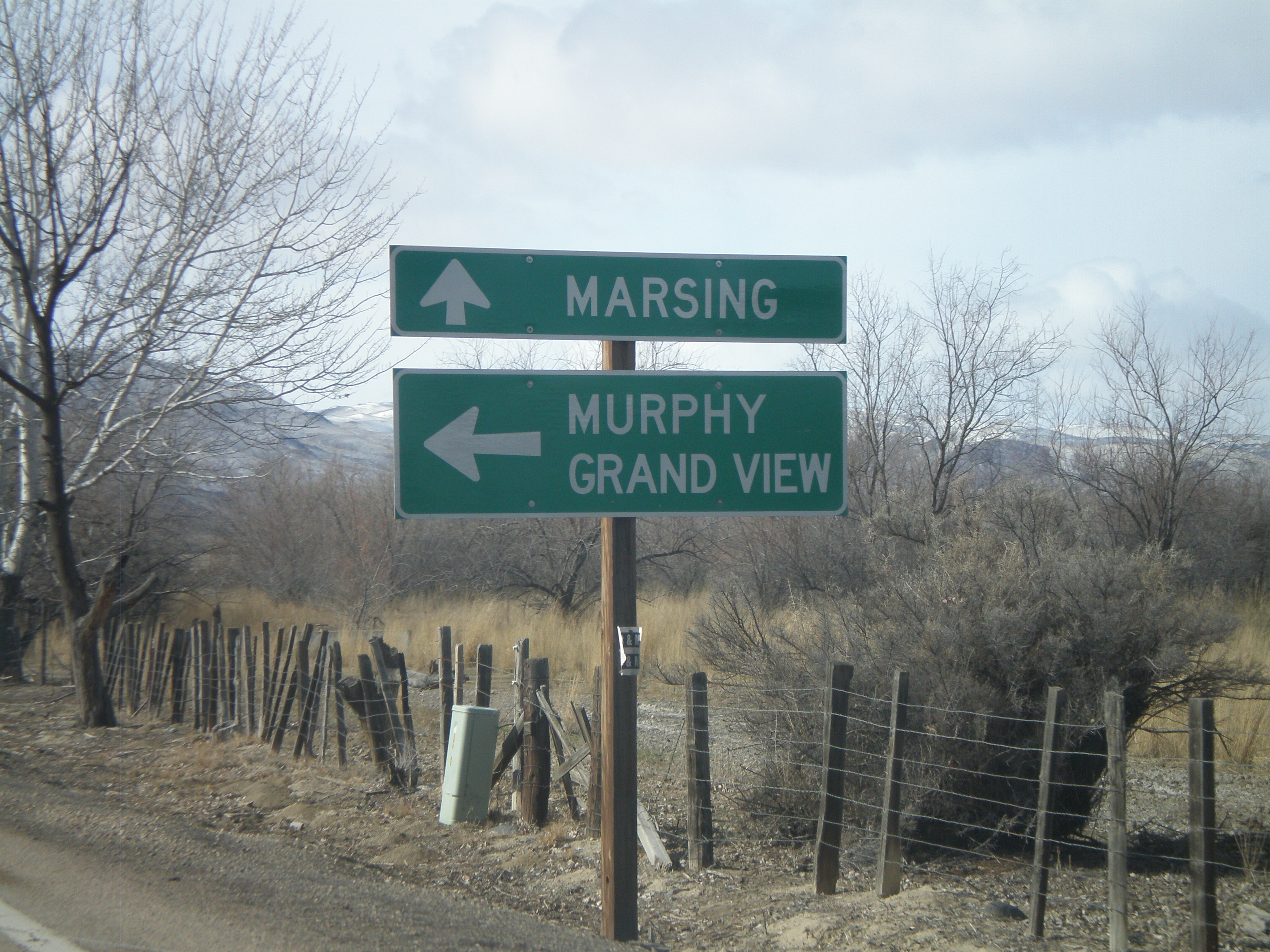
End ID-45 South at ID-78
ID-55 North at ID-78 West
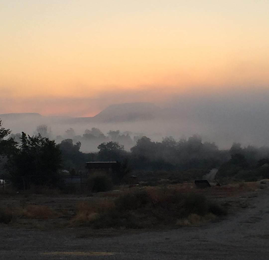
Last morning on the job! Loved waking up to this view for the last 3 weeks! #idaho #sunrise #hopehouse #nofilter
Topographic Map of ID-78, Melba, ID, USA
Find elevation by address:

Places near ID-78, Melba, ID, USA:
4th Ave, Nampa, ID, USA
1126 S Camas St
S Powerline Rd, Nampa, ID, USA
Deer Flat Rd, Nampa, ID, USA
3116 S Holly St
Nampa
3314 Ansley Pl
411 W Dakota Ave
2321 S Garland St
N Orchard Heights Way, Nampa, ID, USA
1506 Primrose Dr
5710 S Can-ada Rd
5708 S Can-ada Rd
5705 S Can-ada Rd
5700 Happy Valley Rd
E Lewis Ln, Nampa, ID, USA
910 W Orchard Ave
503 12th Ave S
930 2nd St N
3440 S Fork Ave
Recent Searches:
- Elevation of Corso Fratelli Cairoli, 35, Macerata MC, Italy
- Elevation of Tallevast Rd, Sarasota, FL, USA
- Elevation of 4th St E, Sonoma, CA, USA
- Elevation of Black Hollow Rd, Pennsdale, PA, USA
- Elevation of Oakland Ave, Williamsport, PA, USA
- Elevation of Pedrógão Grande, Portugal
- Elevation of Klee Dr, Martinsburg, WV, USA
- Elevation of Via Roma, Pieranica CR, Italy
- Elevation of Tavkvetili Mountain, Georgia
- Elevation of Hartfords Bluff Cir, Mt Pleasant, SC, USA