Elevation of I-80 / SR 65 Interchange Improvement Project, Nevada St, Auburn, CA, USA
Location: United States > California > Placer County > Auburn >
Longitude: -121.08287
Latitude: 38.903959
Elevation: 389m / 1276feet
Barometric Pressure: 97KPa
Elevation Map:
Satellite Map:
Related Photos:
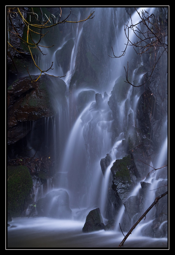
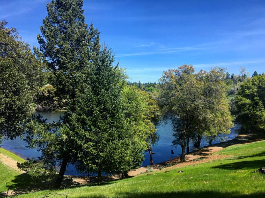
Grotto of the Falls
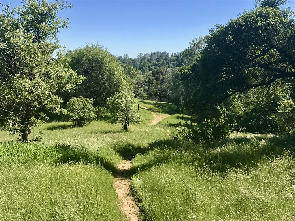
Trail View
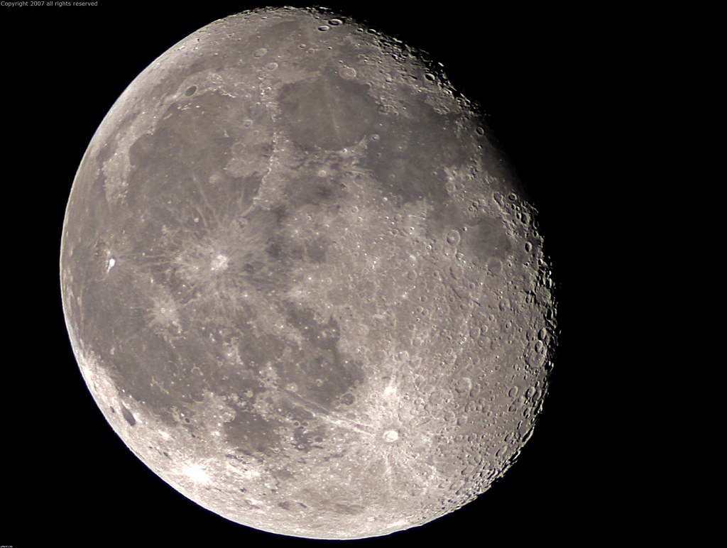
Full Sized Moon and Story 6479

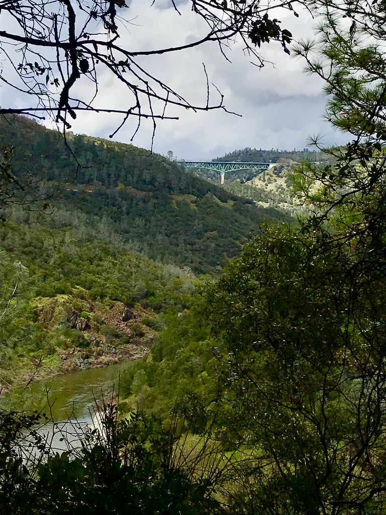
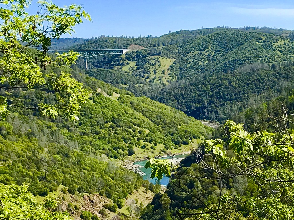
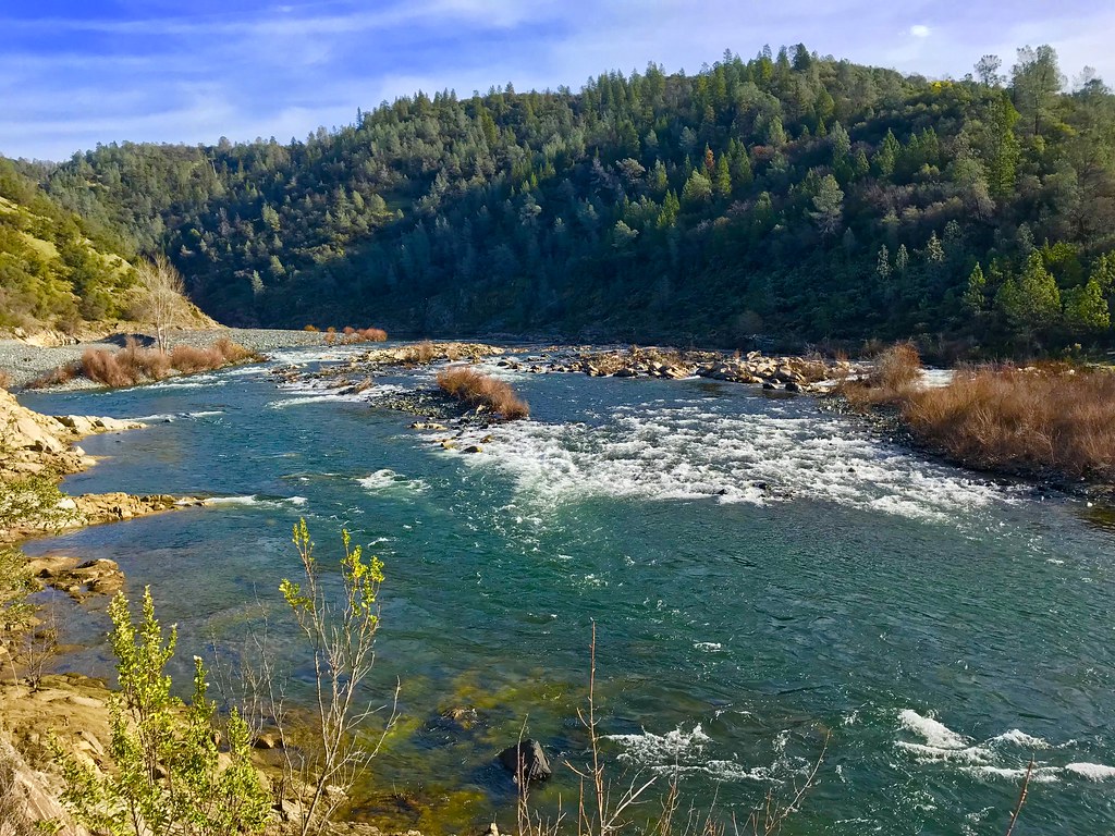
North Fork American River
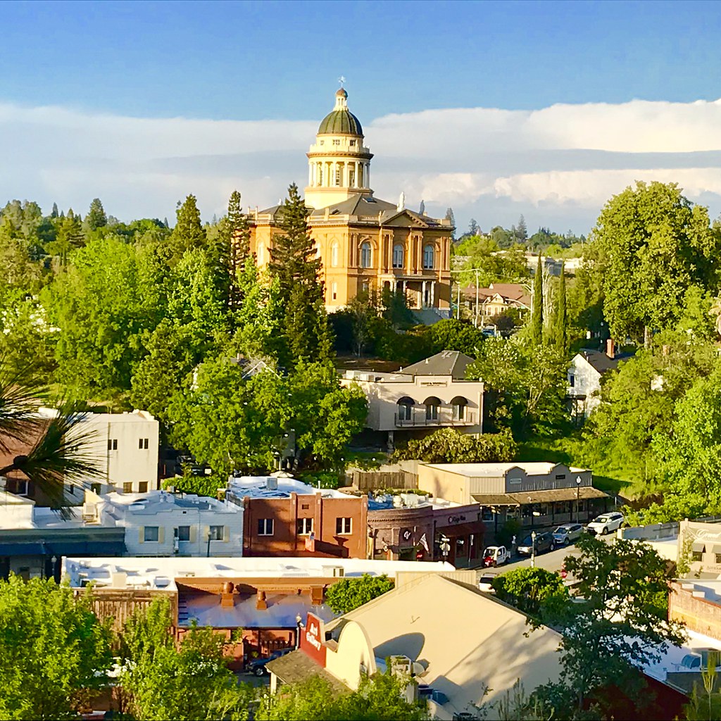
Courthouse View
Green. Blue. Good book. Good view. Perfect weather. #california #sunshine #view #peace #quiet
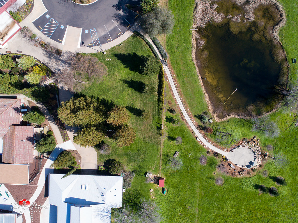
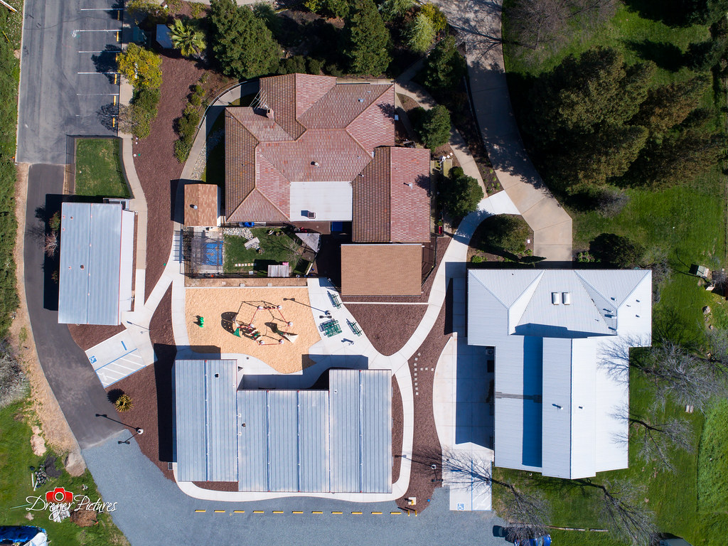
Church Campus

Quarry Wall Under Forest Moonlight

Best rear view ever
Canyon View Preserve
Church Campus
From the Gold Country

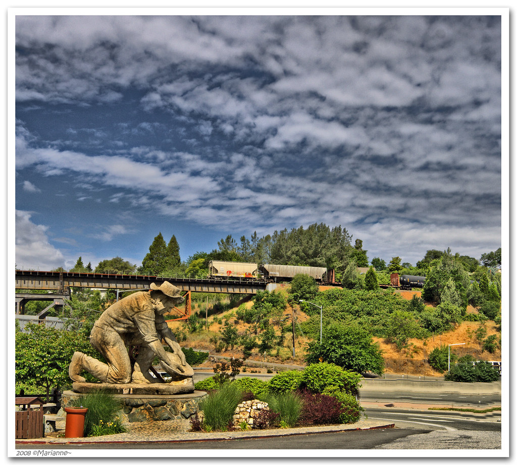
The Auburn Courthouse

Kitty Trance
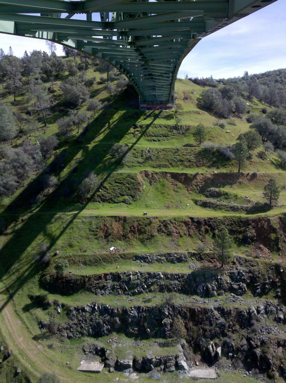
View towards east abutment
Upstream View
Paralleling tracks
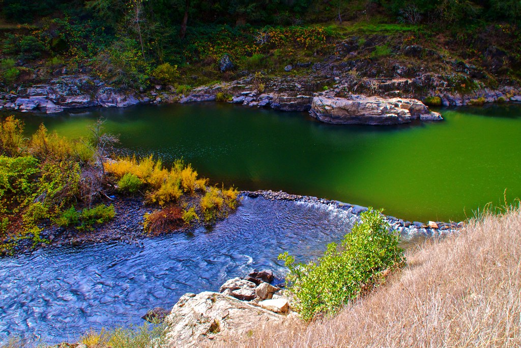
North Fork of American River

Couple-2059
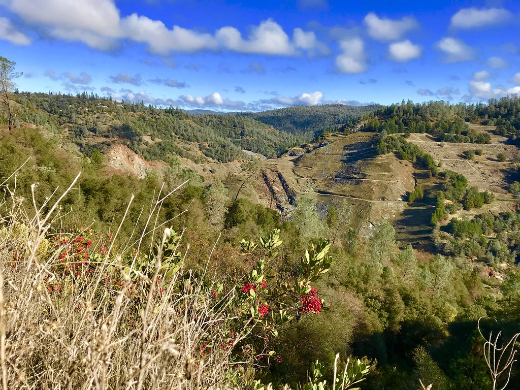
Canyon View
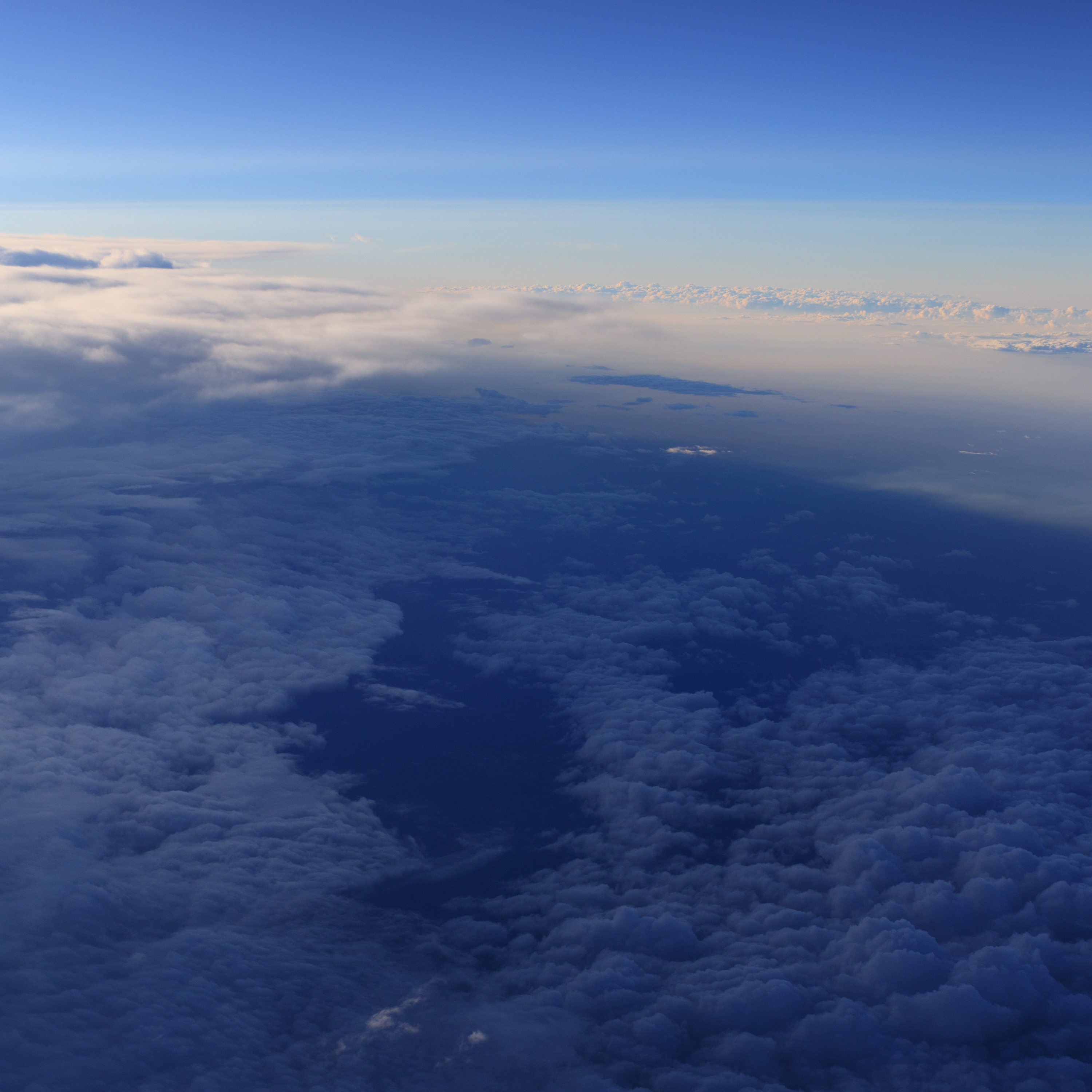
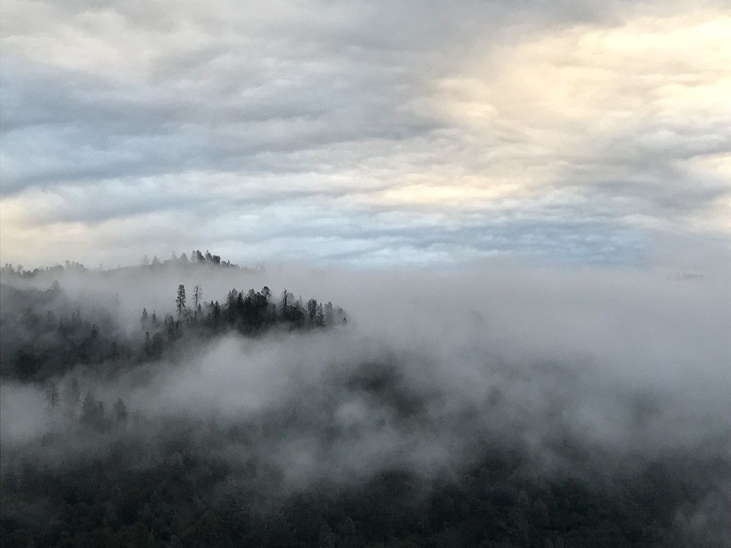
Aerial Views - Clouds above Auburn
Sometimes you get off the bike and take a hike around the lake... #lakeview #california #perfectday #hiking #trails #homestate #hearthealth #cardio #hikecalifornia #sunshine #peace #quiet #reflection
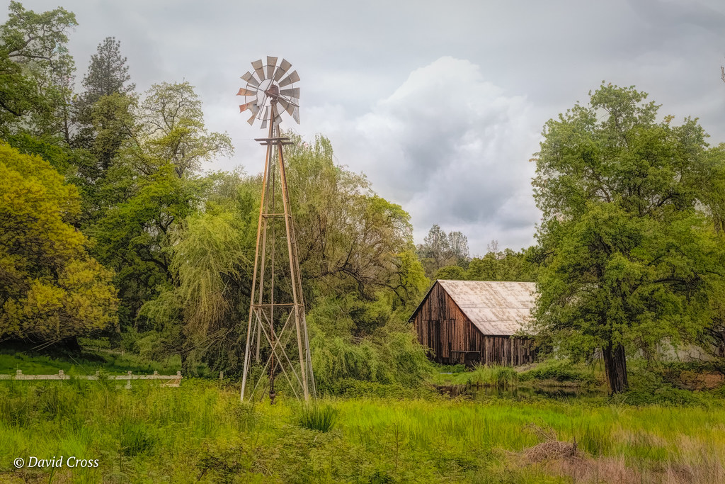
Down on the Farm

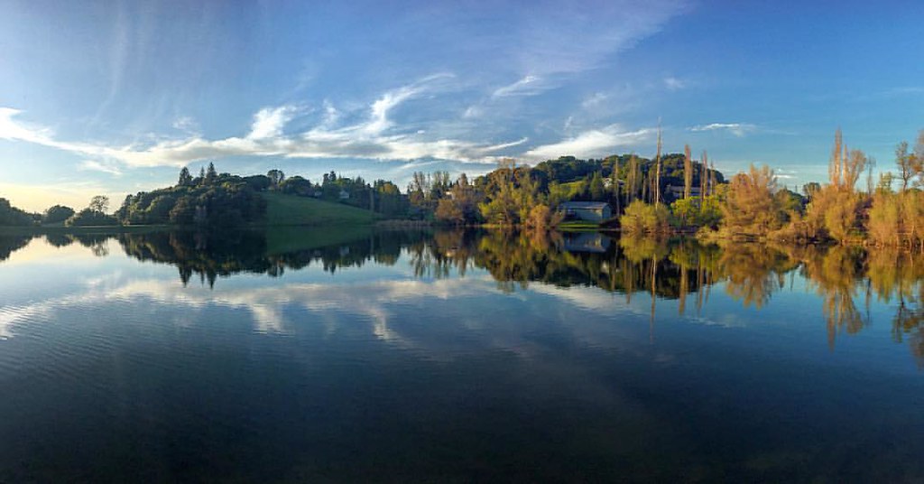
Sunset @ Folsom Lake
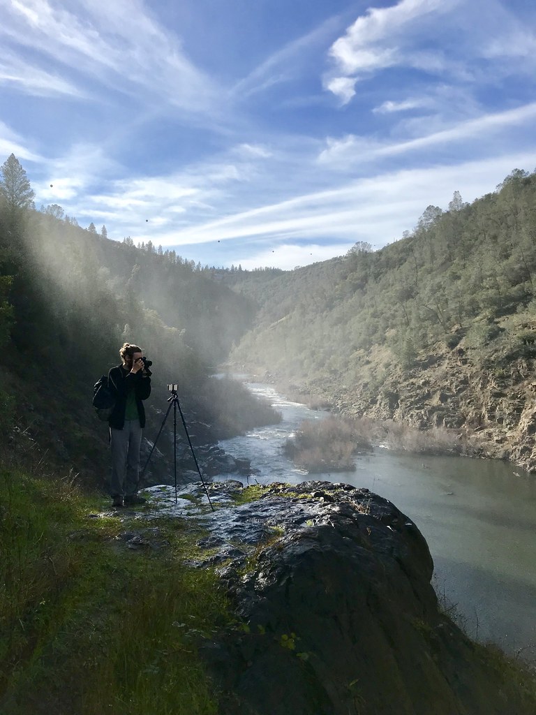
North Fork Photo Op
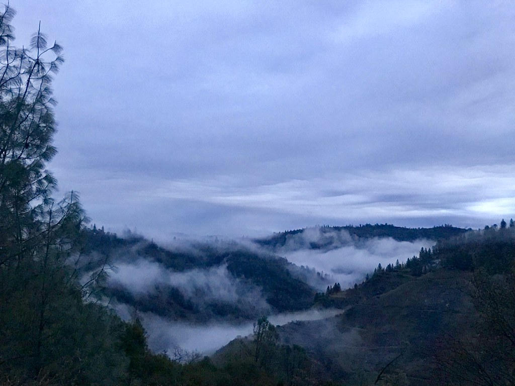
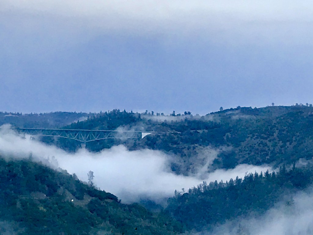
Canyon Clouds

Rock Wren
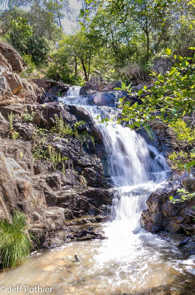
Hidden Falls

Hidden Falls
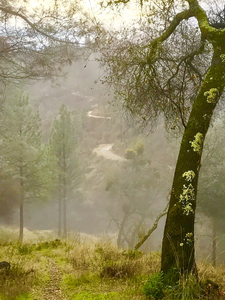
Misty Trail

moss and mist
Oregon Bar
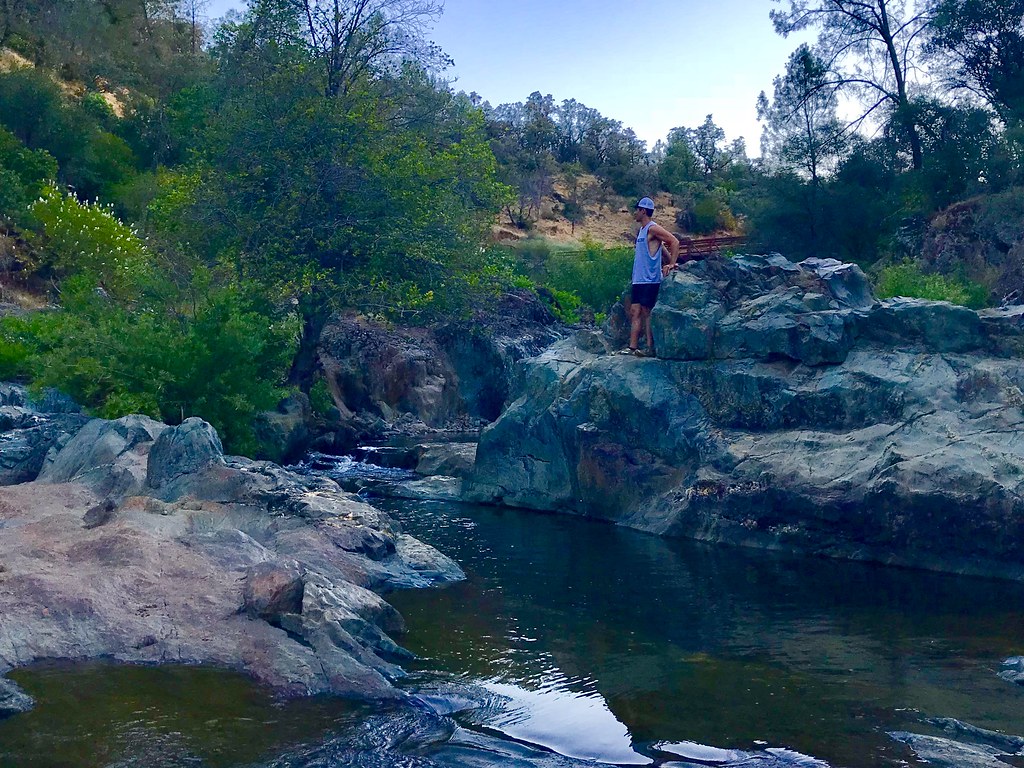
Bryan on the Rocks

Cool Quarry
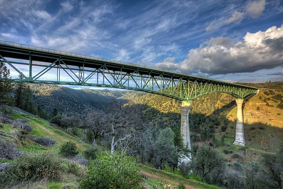
Forresthill Bridge

Clark's Hole
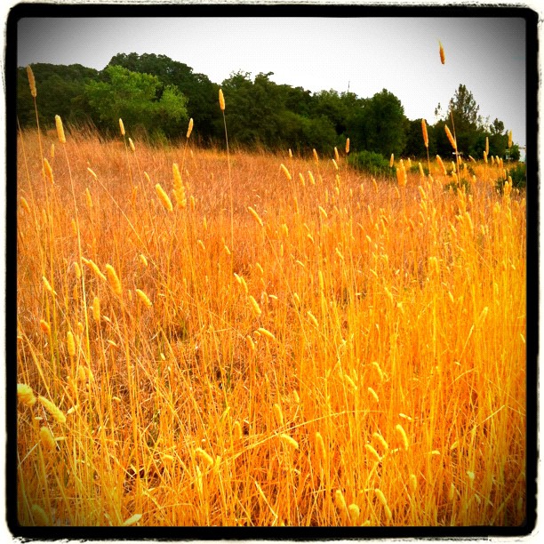
Amber waves

07122008150.jpg

Foresthill Bridge
Foresthill Bridge
Pines Peaking Through
Topographic Map of I-80 / SR 65 Interchange Improvement Project, Nevada St, Auburn, CA, USA
Find elevation by address:

Places near I-80 / SR 65 Interchange Improvement Project, Nevada St, Auburn, CA, USA:
193 Buena Vista St
1580 Lincoln Way
Auburn
313 Stone House Rd
139 Agard St
Placer High School
Gold Country Fairgrounds & Event Center
12300 Westwood Dr
12220 Alta Mesa Dr
12577 Highland Dr
1345 Live Oak Ln
2510 Vineyard Dr
2105 Pear Dr
Luther Road
1630 Tulip Cir
North Auburn
10355 Wise Rd
11670 Atwood Rd
Bridle Court
2209 Sombrero Ct
Recent Searches:
- Elevation of Corso Fratelli Cairoli, 35, Macerata MC, Italy
- Elevation of Tallevast Rd, Sarasota, FL, USA
- Elevation of 4th St E, Sonoma, CA, USA
- Elevation of Black Hollow Rd, Pennsdale, PA, USA
- Elevation of Oakland Ave, Williamsport, PA, USA
- Elevation of Pedrógão Grande, Portugal
- Elevation of Klee Dr, Martinsburg, WV, USA
- Elevation of Via Roma, Pieranica CR, Italy
- Elevation of Tavkvetili Mountain, Georgia
- Elevation of Hartfords Bluff Cir, Mt Pleasant, SC, USA