Elevation of Hwy, Saint Andrew's, NL A0N 1W0, Canada
Location: Canada > Newfoundland And Labrador > Division No. 4 > Division No. 4, Subd. A > Saint Andrew's >
Longitude: -59.321338
Latitude: 47.8268422
Elevation: 8m / 26feet
Barometric Pressure: 101KPa
Elevation Map:
Satellite Map:
Related Photos:
DSC_0661 [640x480]
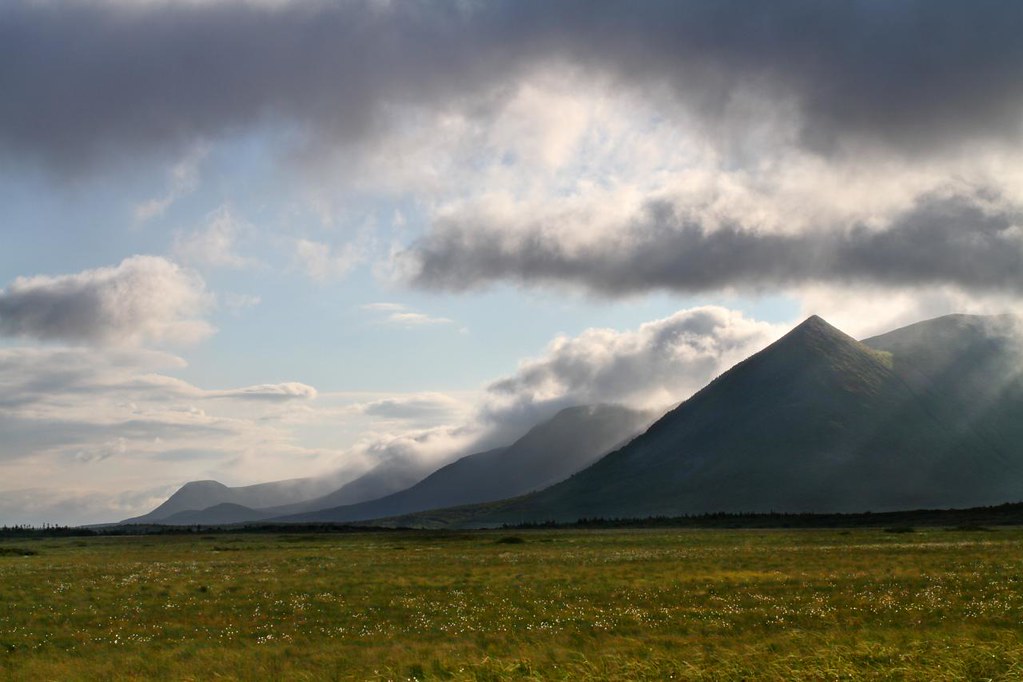
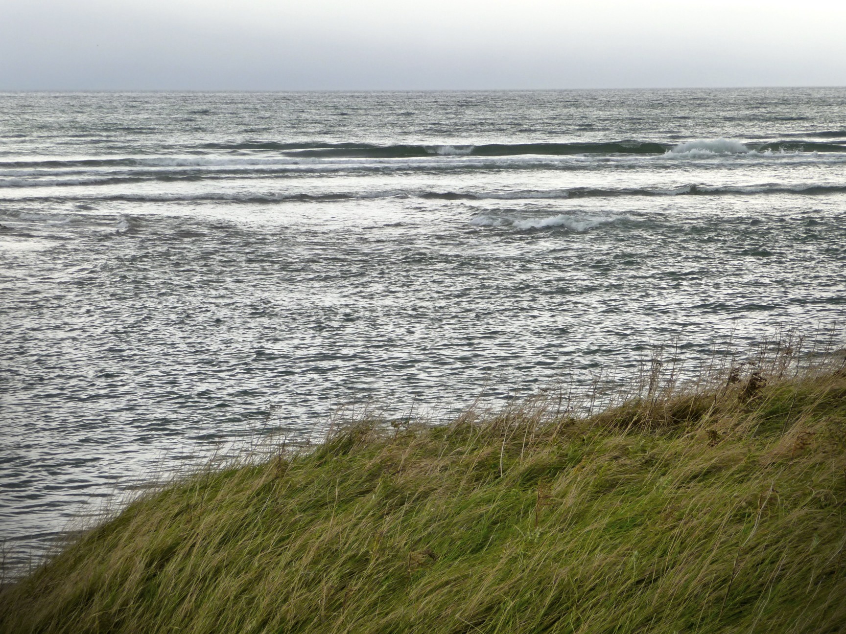
Wreckhouse Beauty
Codroy Valley, Newfoundland
On the island
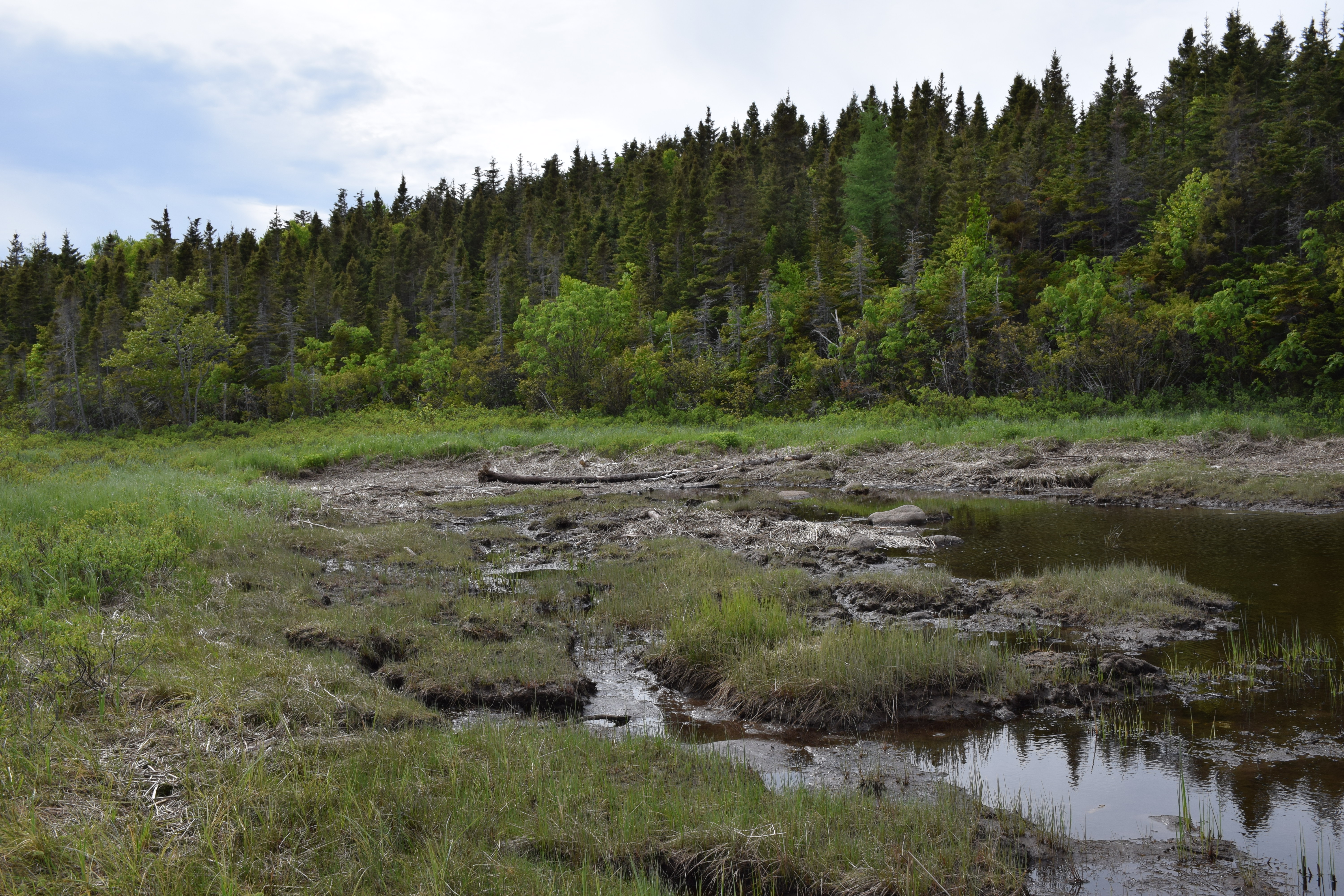
Doyles, Newfoundland

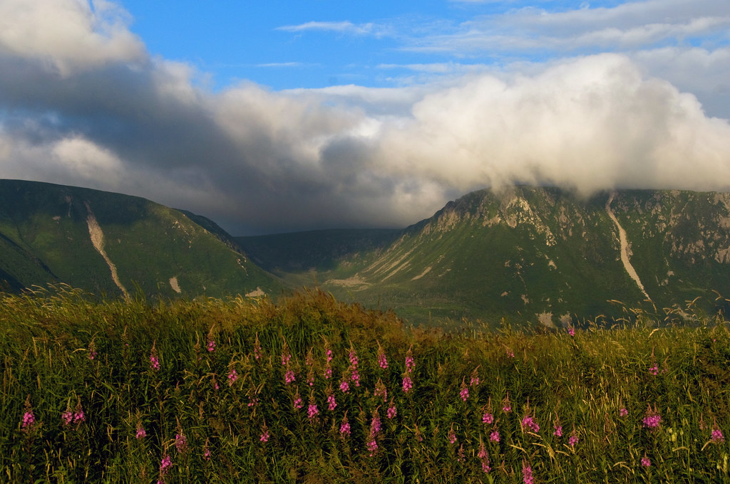
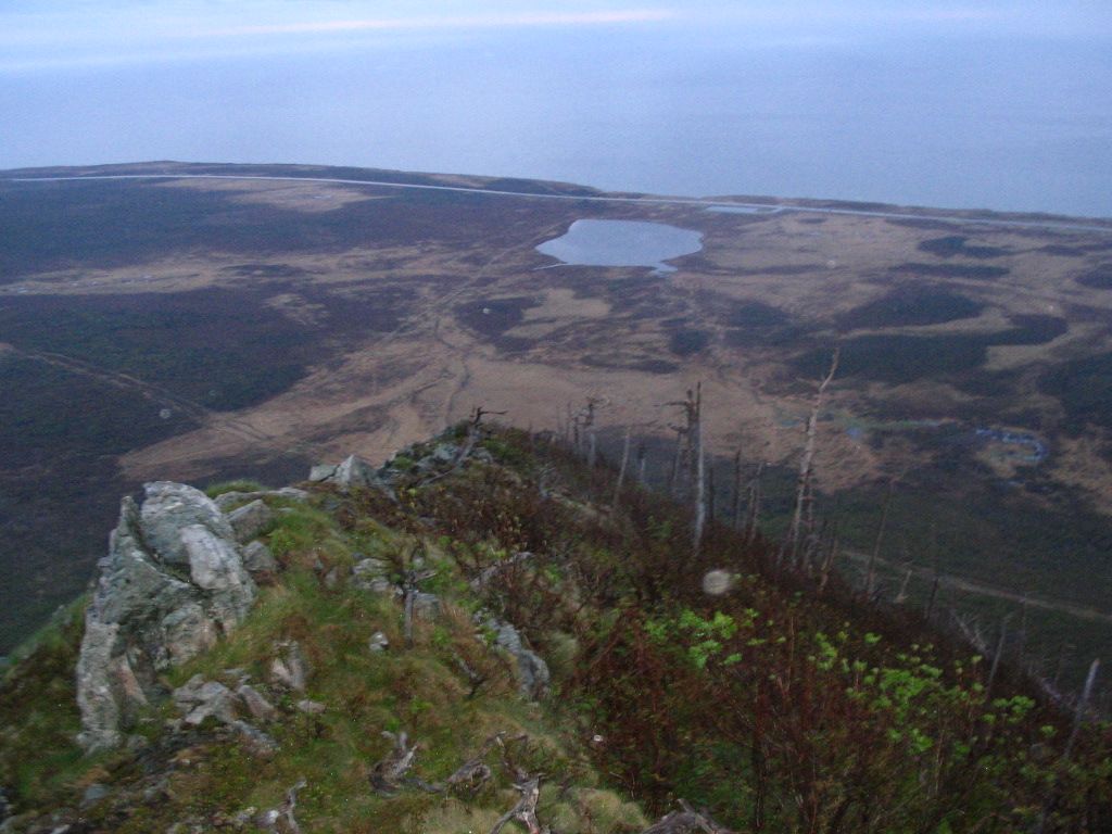
NLL 06700 Table Mountain
Doyles, Newfoundland
Codroy, Newfoundland
Doyles, Newfoundland
On Top of the tolt.
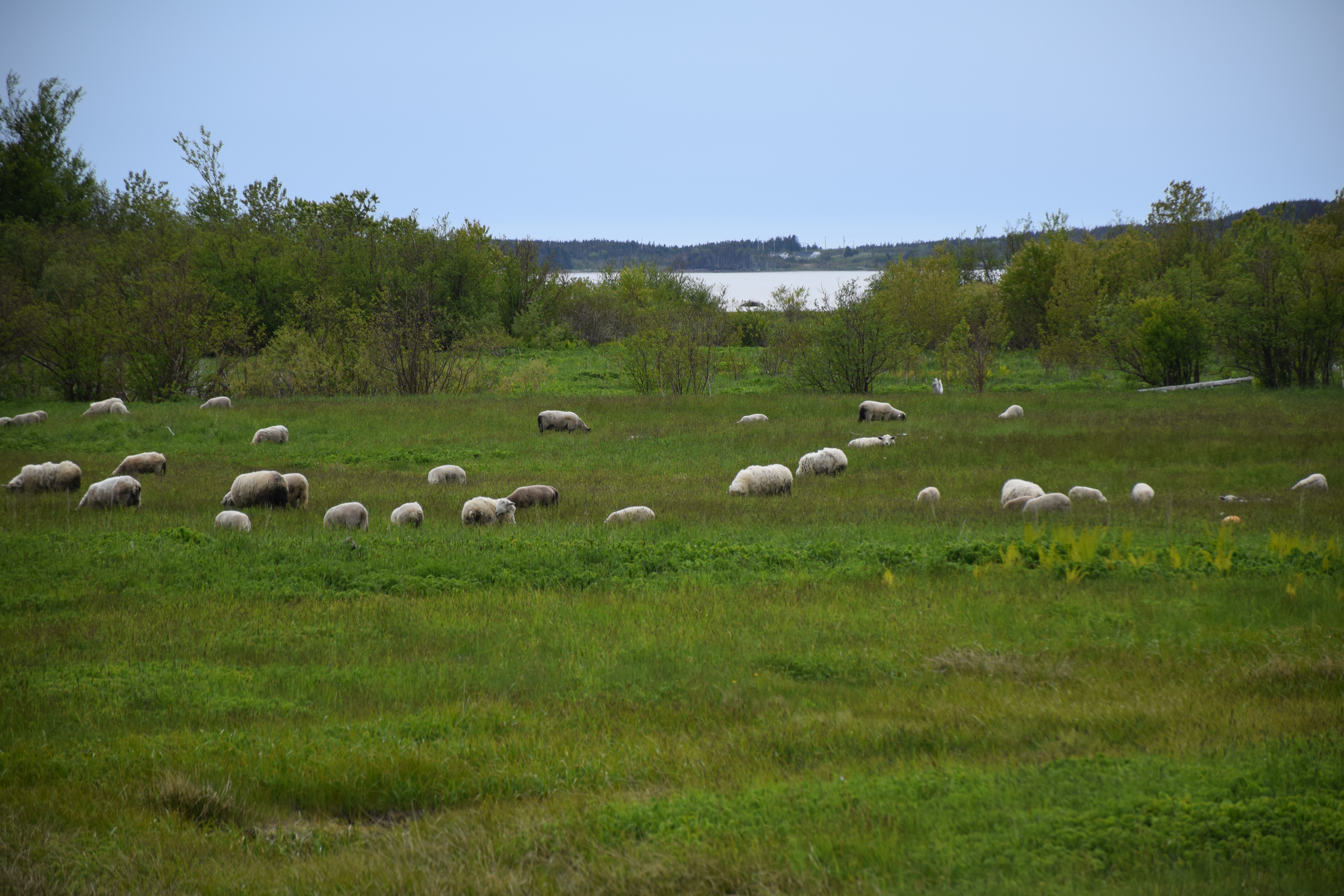
Codroy Newfoundland
DSC_0645 [640x480]

Newfoundland, Canada
Codroy Newfoundland

Newfoundland, Canada
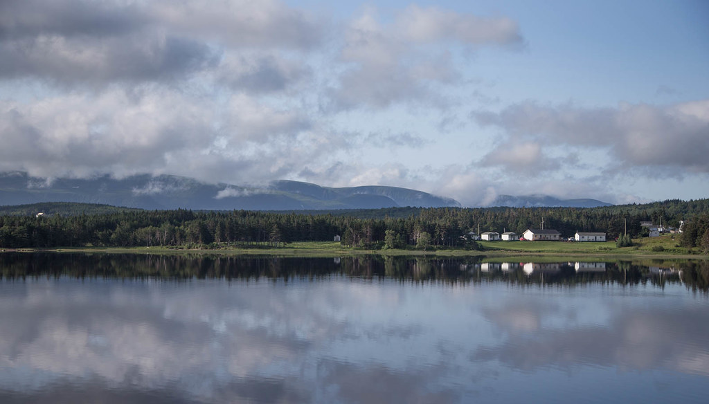
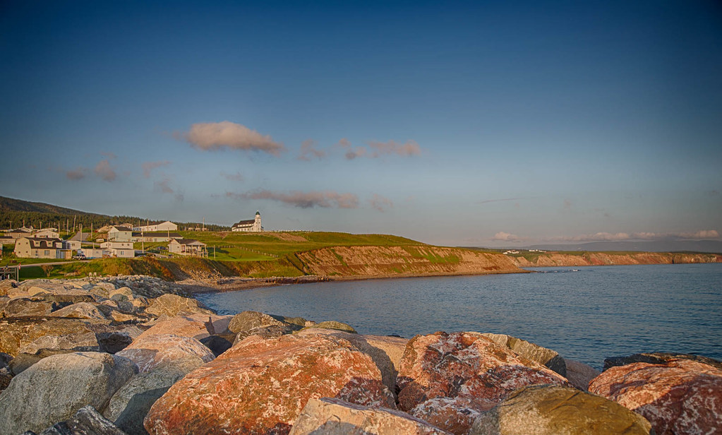
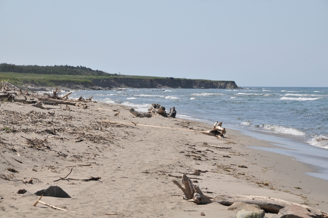
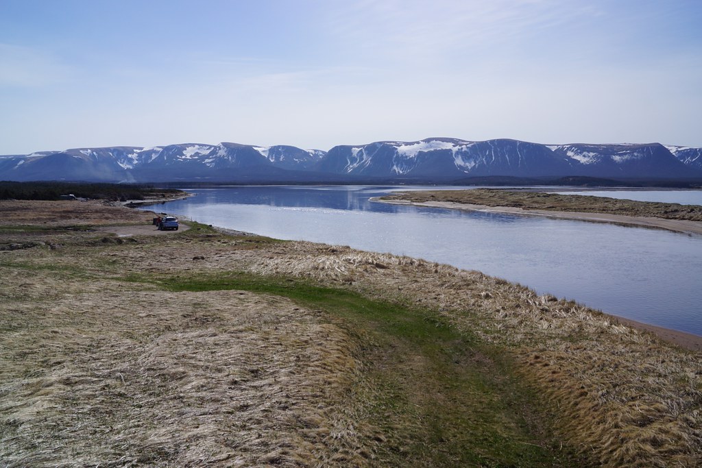
NLL 07700 Codroy Valley Provincial Park
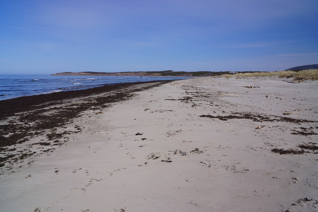
NLL 07600 Codroy Valley Provincial Park
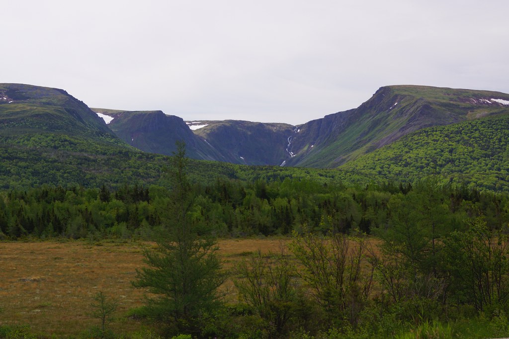
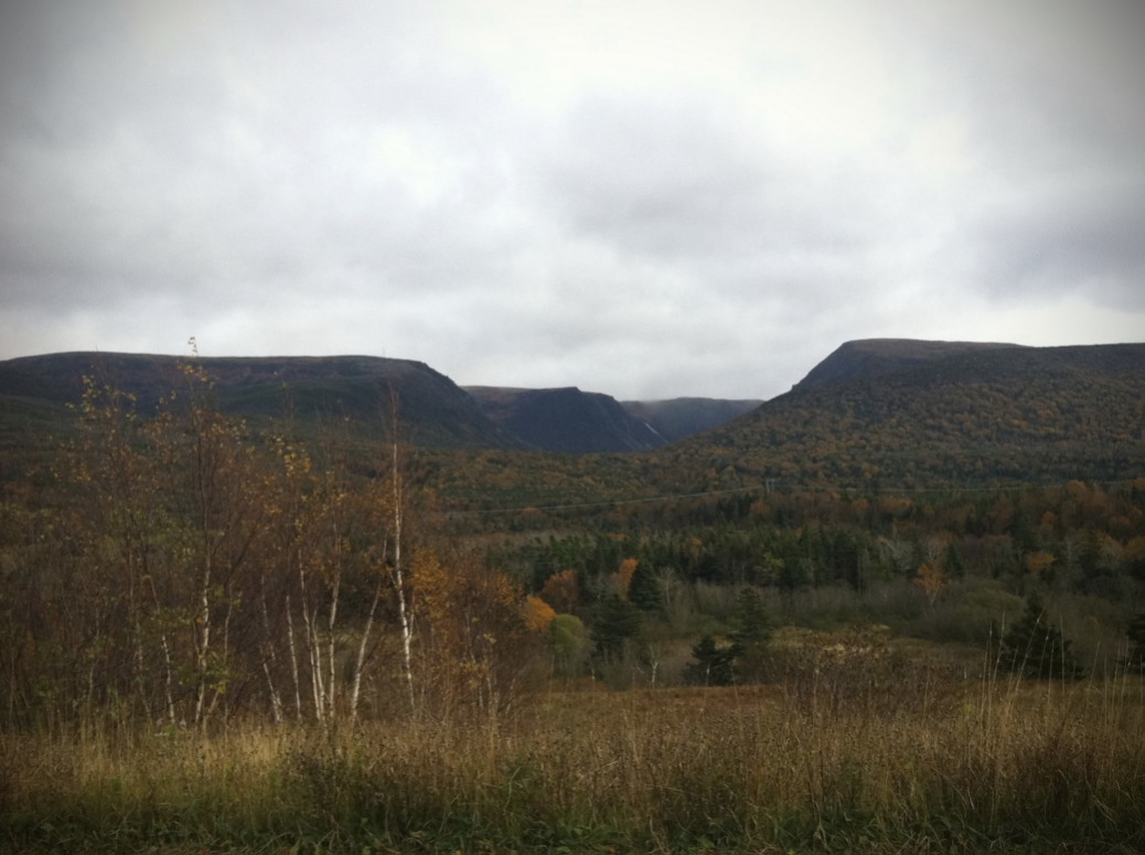
NLL 123400 Table Mountains near Port aux Basques - green
NLL 07400 Codroy Valley Provincial Park
NLL 07500 Codroy Valley Provincial Park
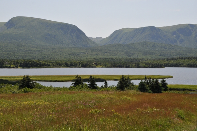
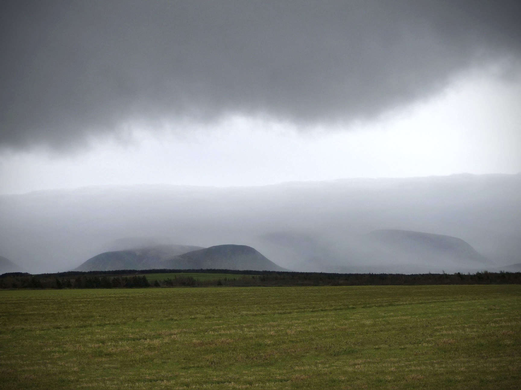
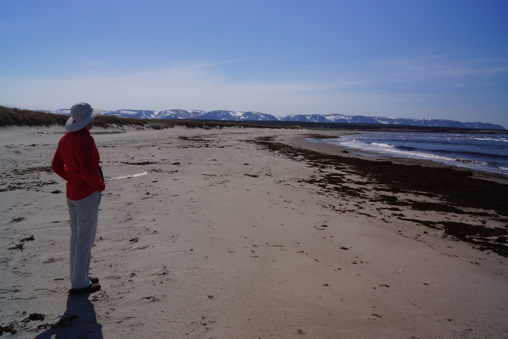
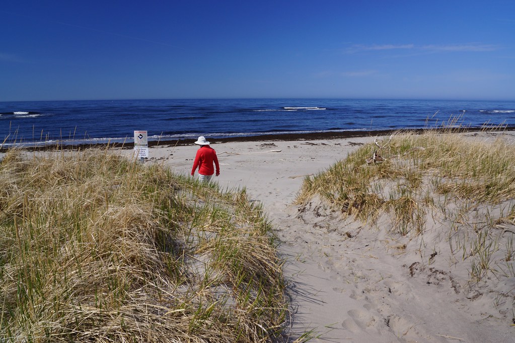
NLL 07300 Table Mountain from St Andrews Beach
Topographic Map of Hwy, Saint Andrew's, NL A0N 1W0, Canada
Find elevation by address:

Places near Hwy, Saint Andrew's, NL A0N 1W0, Canada:
98 Hwy, Doyles, NL A0N 1J0, Canada
24 Hwy, Highlands, NL A0N 1N0, Canada
Doyles
Division No. 4
Cape Saint George
NL-, Cape Saint George, NL A0N 1T1, Canada
NL-, Cape Saint George, NL A0N 1T1, Canada
NL-, Cape Saint George, NL A0N 1T1, Canada
NL-, Cape Saint George, NL A0N 1T1, Canada
74 NL-, Cape Saint George, NL A0N 1T1, Canada
Recent Searches:
- Elevation of Corso Fratelli Cairoli, 35, Macerata MC, Italy
- Elevation of Tallevast Rd, Sarasota, FL, USA
- Elevation of 4th St E, Sonoma, CA, USA
- Elevation of Black Hollow Rd, Pennsdale, PA, USA
- Elevation of Oakland Ave, Williamsport, PA, USA
- Elevation of Pedrógão Grande, Portugal
- Elevation of Klee Dr, Martinsburg, WV, USA
- Elevation of Via Roma, Pieranica CR, Italy
- Elevation of Tavkvetili Mountain, Georgia
- Elevation of Hartfords Bluff Cir, Mt Pleasant, SC, USA