Elevation of Saint Andrew's, NL A0N, Canada
Location: Canada > Newfoundland And Labrador > Division No. 4 > Division No. 4, Subd. A >
Longitude: -59.273257
Latitude: 47.777613
Elevation: 19m / 62feet
Barometric Pressure: 101KPa
Elevation Map:
Satellite Map:
Related Photos:
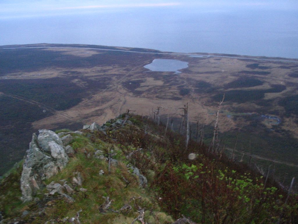
DSC_0661 [640x480]
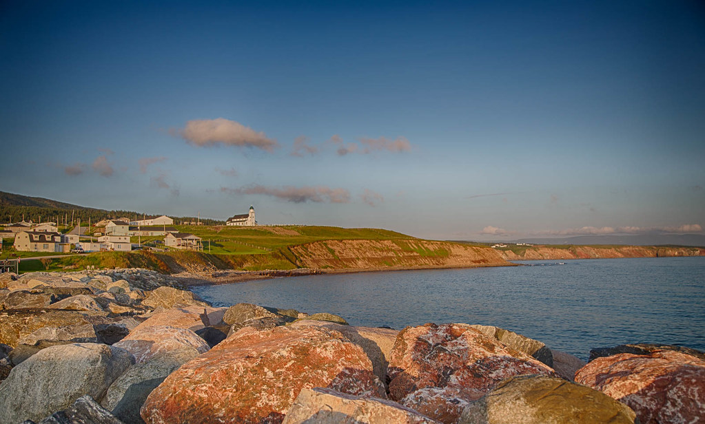
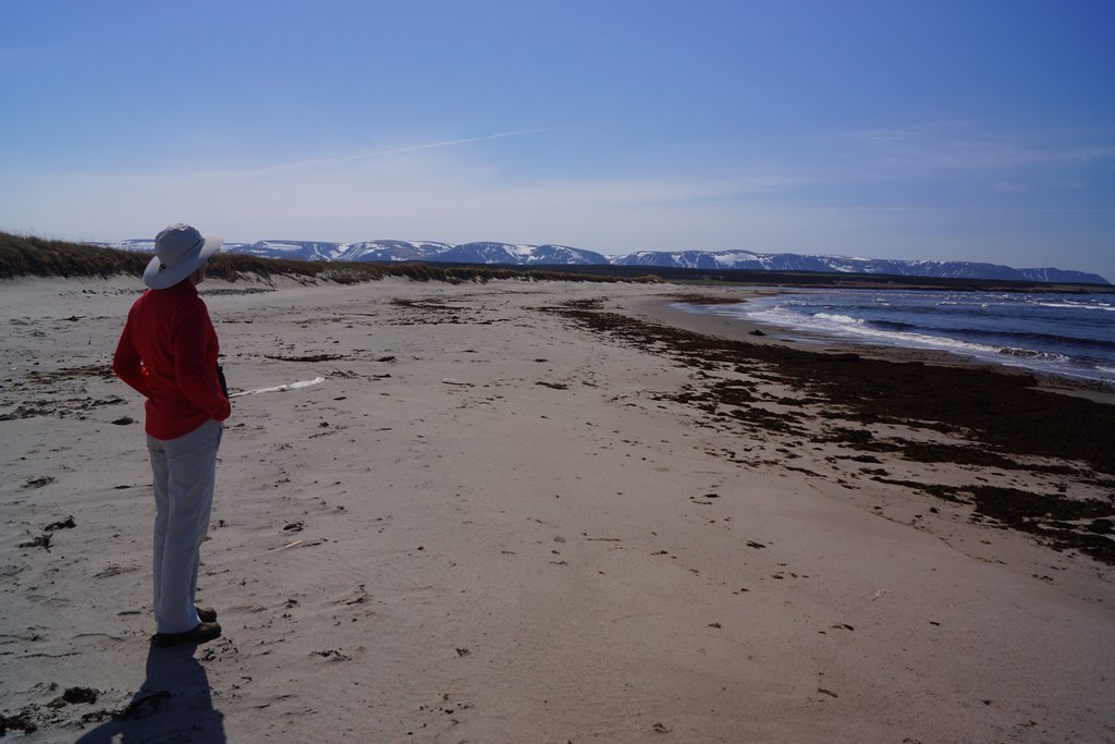
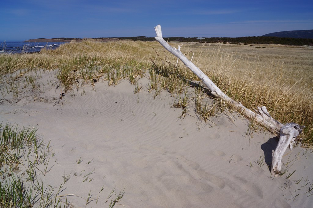
Wreckhouse Beauty
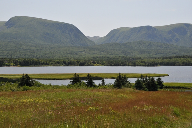
Codroy Valley, Newfoundland
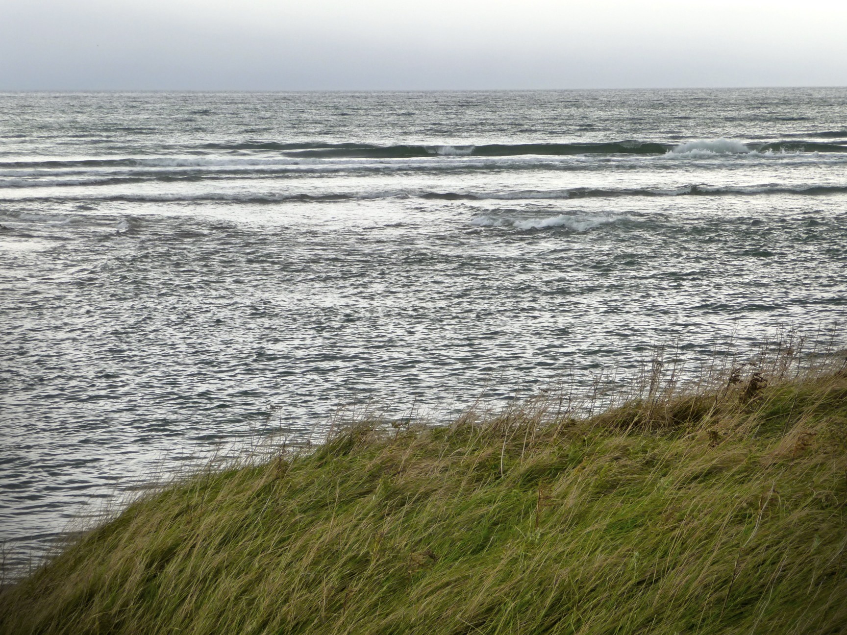
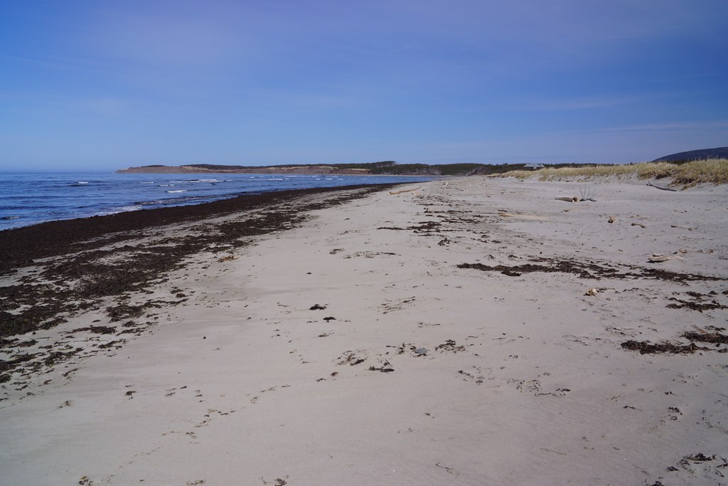
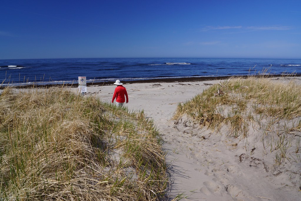
On the island
Doyles, Newfoundland

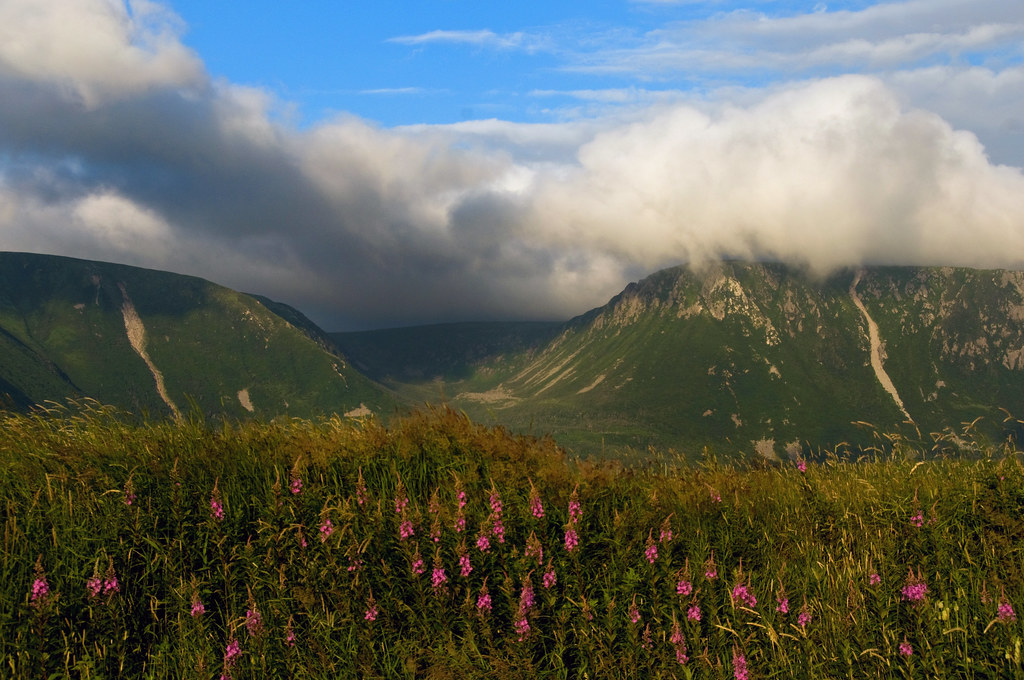
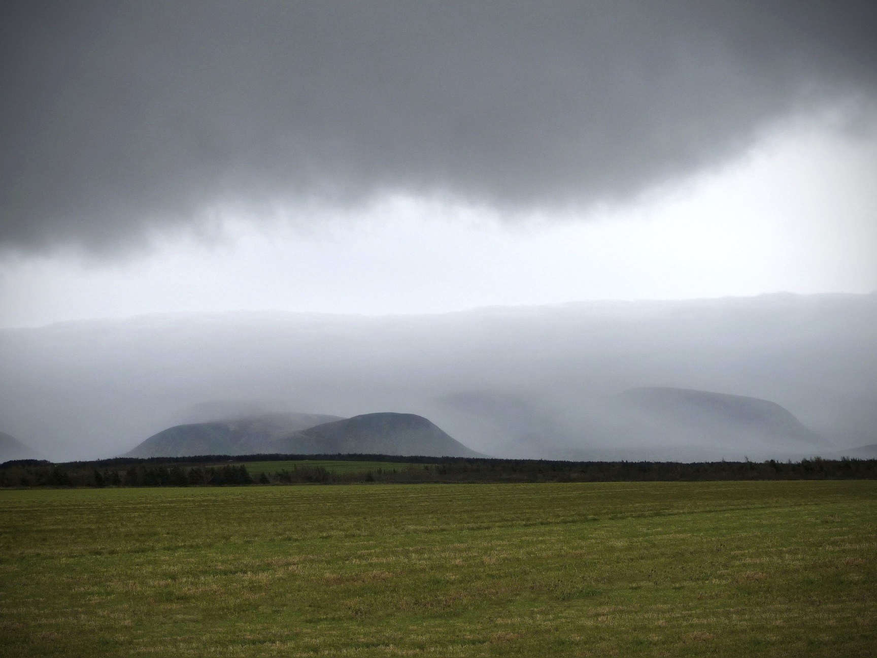
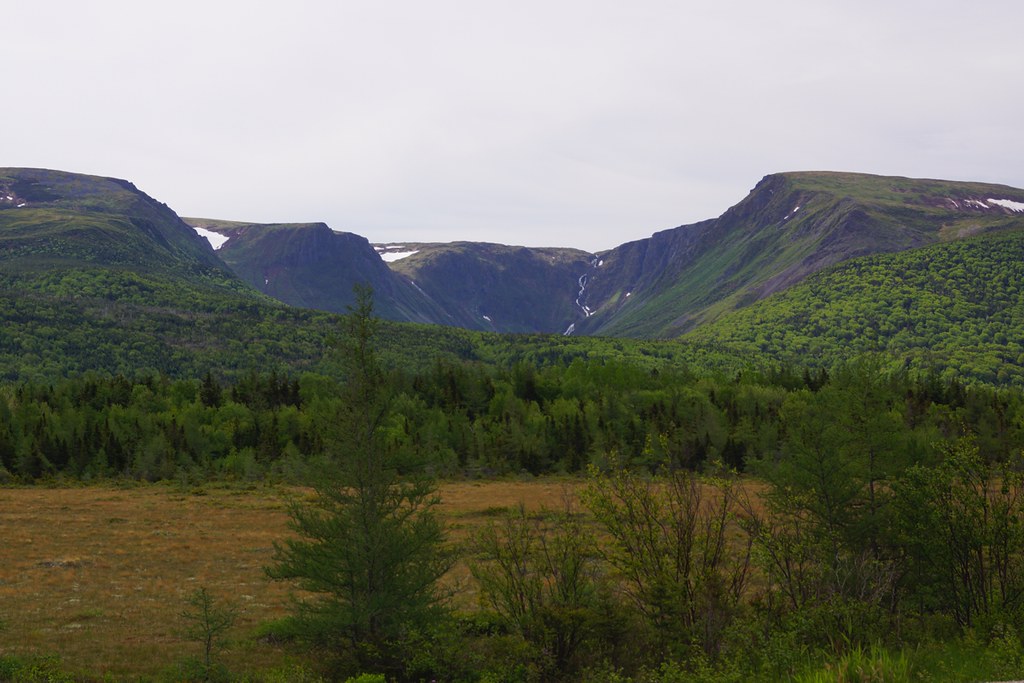
NLL 06700 Table Mountain
Doyles, Newfoundland
Codroy, Newfoundland
Doyles, Newfoundland
On Top of the tolt.
Twin hills, Caperay Newfoundland
Codroy Newfoundland
DSC_0645 [640x480]

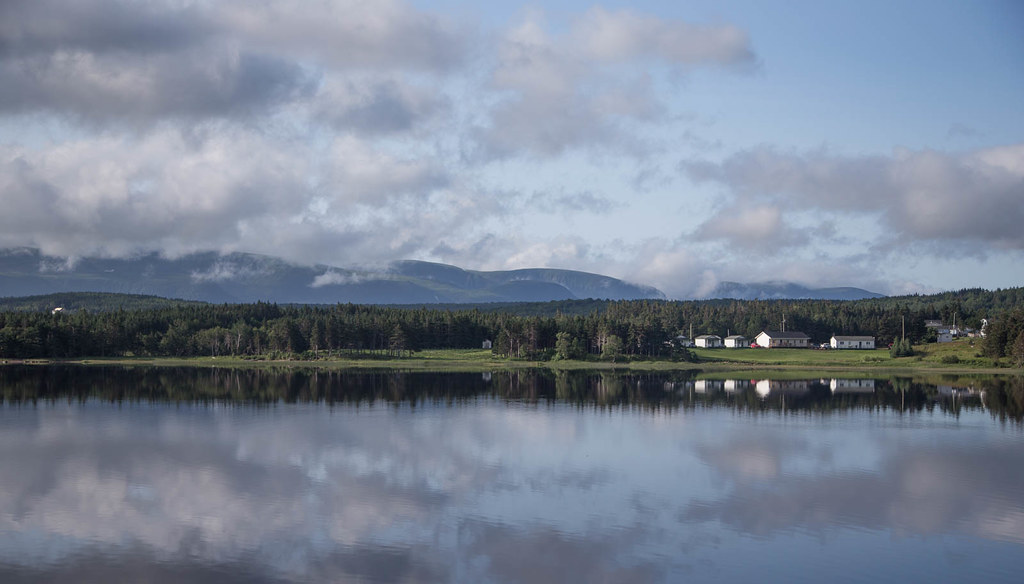
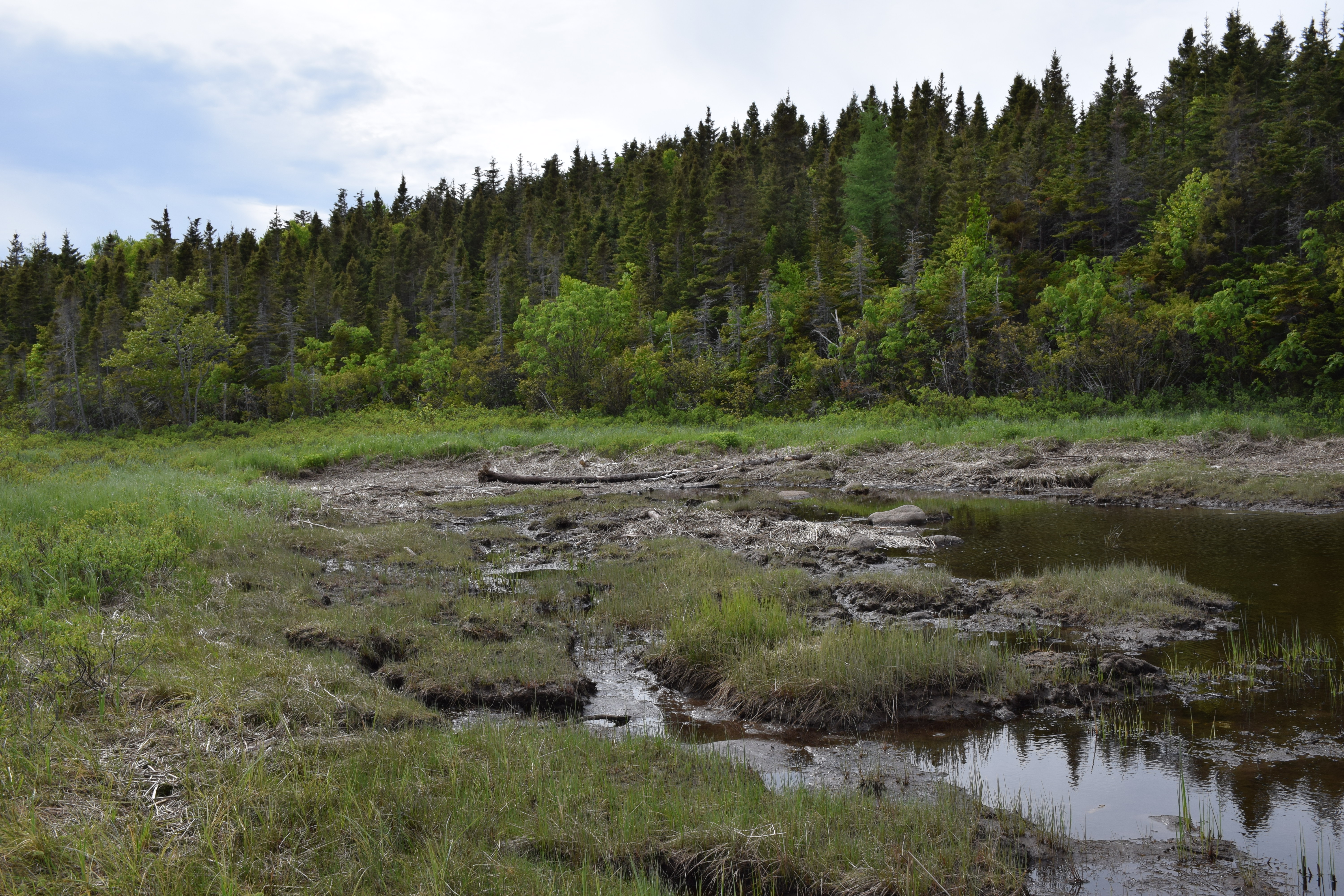
Newfoundland, Canada
Codroy Newfoundland

Newfoundland, Canada
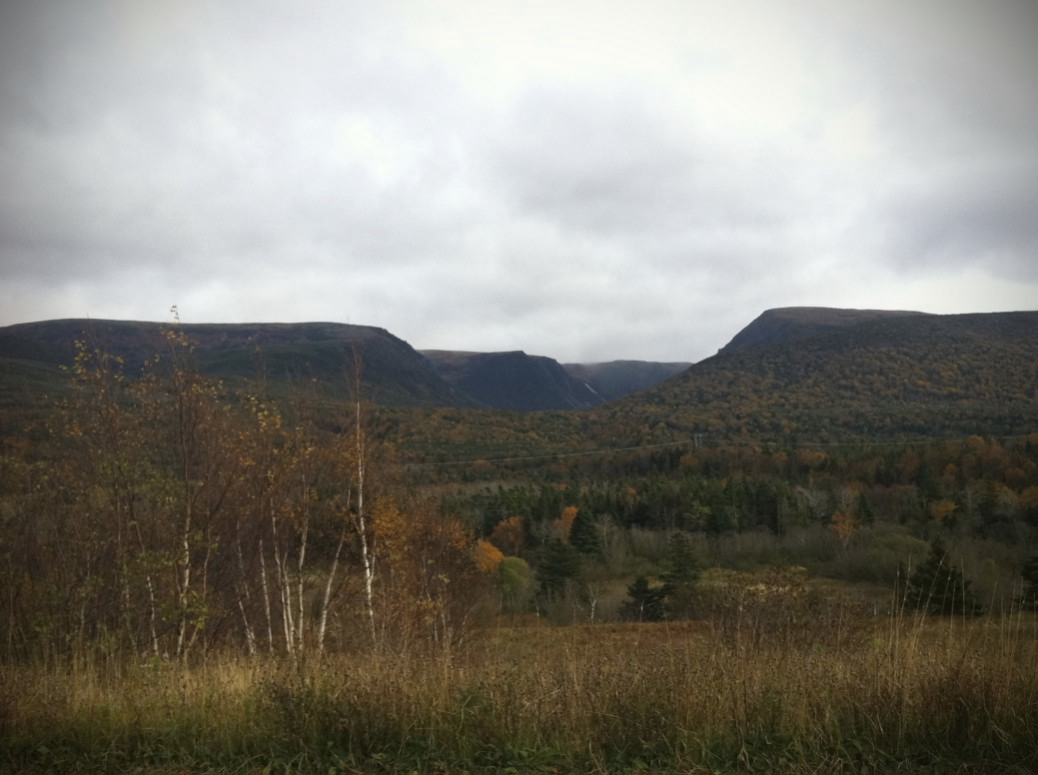
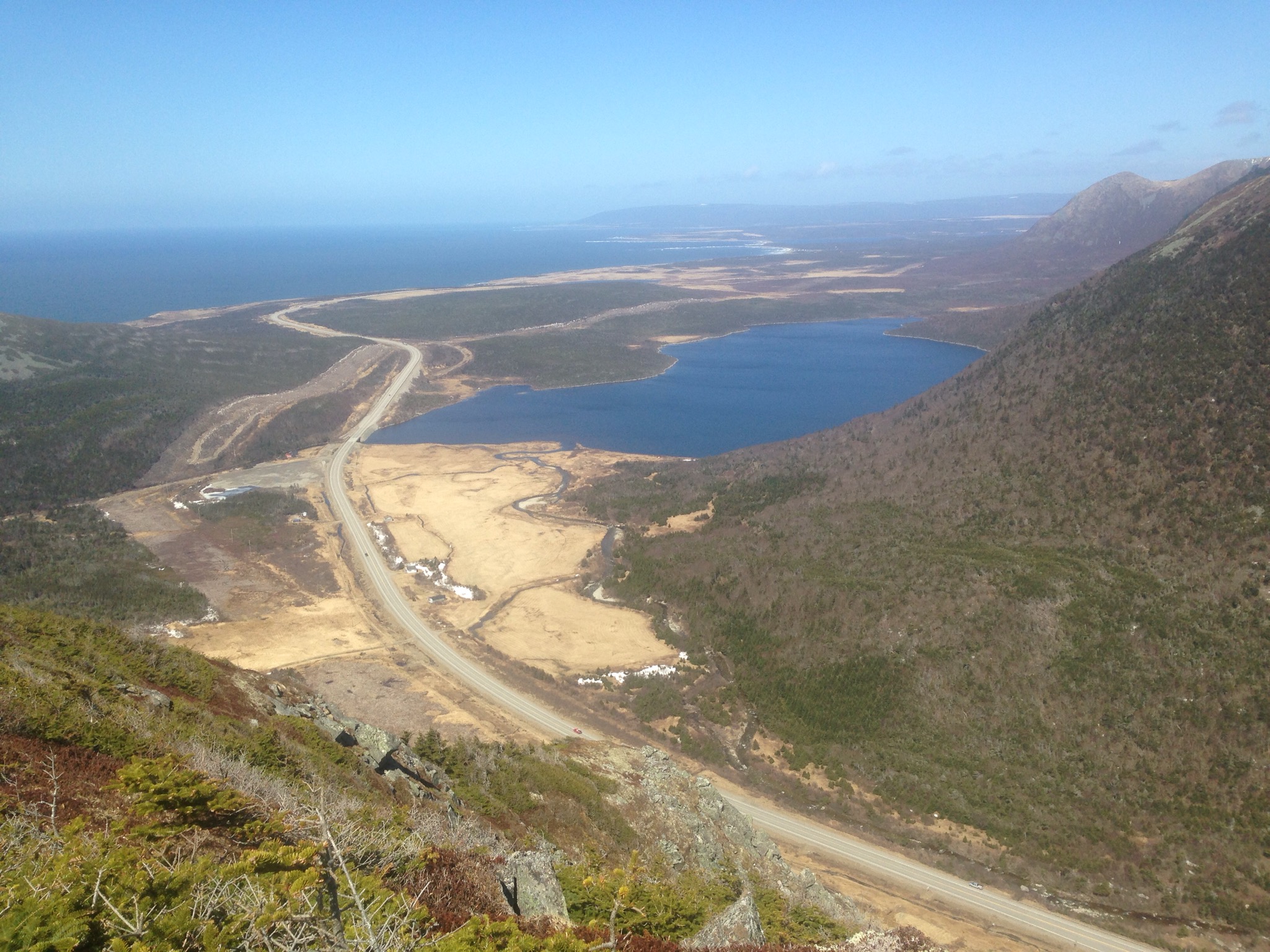
NLL 07700 Codroy Valley Provincial Park
NLL 07600 Codroy Valley Provincial Park
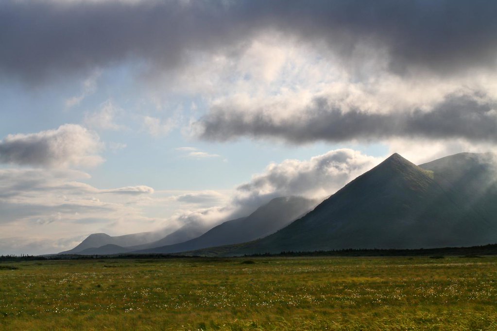
NLL 123400 Table Mountains near Port aux Basques - green
NLL 07400 Codroy Valley Provincial Park
NLL 07500 Codroy Valley Provincial Park
Topographic Map of Saint Andrew's, NL A0N, Canada
Find elevation by address:

Places in Saint Andrew's, NL A0N, Canada:
Places near Saint Andrew's, NL A0N, Canada:
Saint Andrew's
41 Hwy, Cape Ray, NL A0N 1C0, Canada
Cape Ray
3 Grand Bay Rd W, Channel-Port aux Basques, NL, Canada
4 Cabot St, Grand Bay East, NL A0N 1K0, Canada
Grand Bay East
77 Grand Bay Rd, Grand Bay East, NL A0N 1K0, Canada
56 Grand Bay Rd
Channel-port Aux Basques
Neils Harbour
32610 Cabot Trail
1425 White Point Rd
Victoria, Subd. A
35479 Cabot Trail
Ingonish
Cabot Trail, Ingonish, NS B0C 1K0, Canada
Cape Smokey Provincial Park
Ingonish Beach
Victoria County
Smokey Mountain
Recent Searches:
- Elevation of Corso Fratelli Cairoli, 35, Macerata MC, Italy
- Elevation of Tallevast Rd, Sarasota, FL, USA
- Elevation of 4th St E, Sonoma, CA, USA
- Elevation of Black Hollow Rd, Pennsdale, PA, USA
- Elevation of Oakland Ave, Williamsport, PA, USA
- Elevation of Pedrógão Grande, Portugal
- Elevation of Klee Dr, Martinsburg, WV, USA
- Elevation of Via Roma, Pieranica CR, Italy
- Elevation of Tavkvetili Mountain, Georgia
- Elevation of Hartfords Bluff Cir, Mt Pleasant, SC, USA