Elevation of 74 NL-, Cape Saint George, NL A0N 1T1, Canada
Location: Canada > Newfoundland And Labrador > Division No. 4 > Cape Saint George >
Longitude: -59.097941
Latitude: 48.6188882
Elevation: 10m / 33feet
Barometric Pressure: 101KPa
Elevation Map:
Satellite Map:
Related Photos:
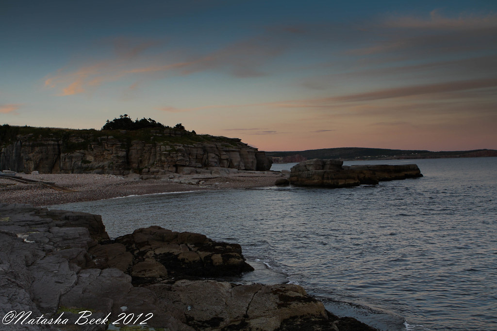
Pink Sky @ Night

Terranova, Canadá.

Lower Cove cliff
Terranova, Canadá.
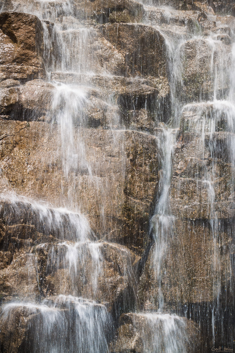
Hidden Falls
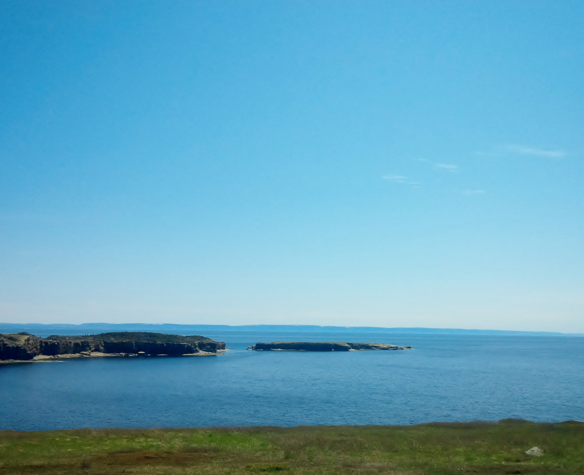
Newfoundland Coast

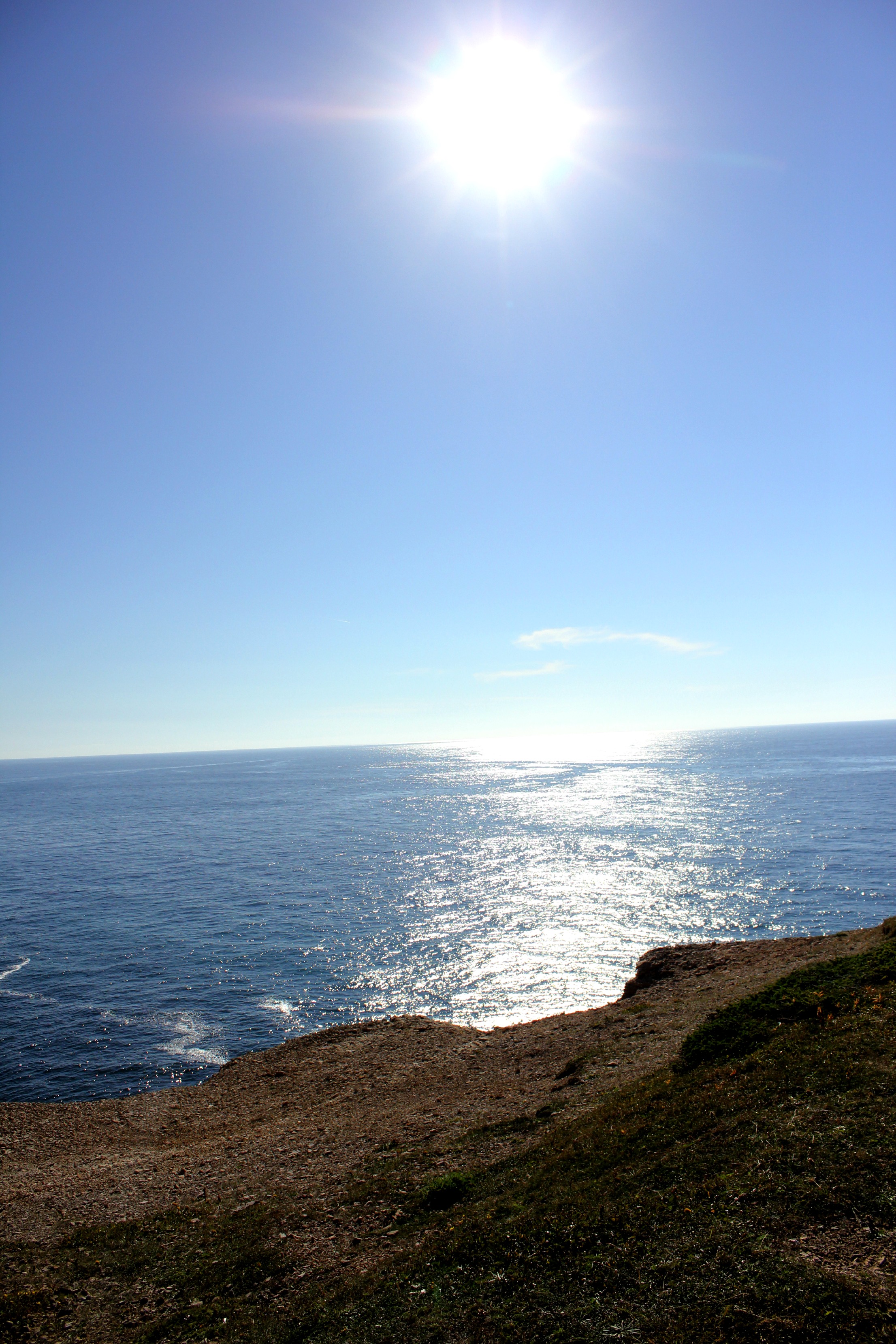
Ship Cove

Lower Cove cliff

Ship Cove
DSC_0529 [640x480]
Topographic Map of 74 NL-, Cape Saint George, NL A0N 1T1, Canada
Find elevation by address:

Places near 74 NL-, Cape Saint George, NL A0N 1T1, Canada:
NL-, Cape Saint George, NL A0N 1T1, Canada
NL-, Cape Saint George, NL A0N 1T1, Canada
NL-, Cape Saint George, NL A0N 1T1, Canada
NL-, Cape Saint George, NL A0N 1T1, Canada
Cape Saint George
Division No. 4
24 Hwy, Highlands, NL A0N 1N0, Canada
98 Hwy, Doyles, NL A0N 1J0, Canada
Doyles
Hwy, Saint Andrew's, NL A0N 1W0, Canada
Recent Searches:
- Elevation of Corso Fratelli Cairoli, 35, Macerata MC, Italy
- Elevation of Tallevast Rd, Sarasota, FL, USA
- Elevation of 4th St E, Sonoma, CA, USA
- Elevation of Black Hollow Rd, Pennsdale, PA, USA
- Elevation of Oakland Ave, Williamsport, PA, USA
- Elevation of Pedrógão Grande, Portugal
- Elevation of Klee Dr, Martinsburg, WV, USA
- Elevation of Via Roma, Pieranica CR, Italy
- Elevation of Tavkvetili Mountain, Georgia
- Elevation of Hartfords Bluff Cir, Mt Pleasant, SC, USA