Elevation map of Huon Valley Council, Huon Valley, TAS, Australia
Location: Australia > Tasmania >
Longitude: 146.45513
Latitude: -43.349847
Elevation: 212m / 696feet
Barometric Pressure: 99KPa
Elevation Map:
Satellite Map:
Related Photos:

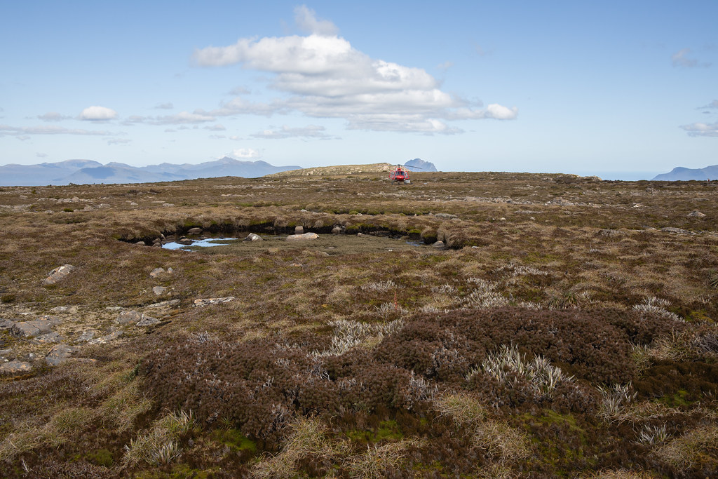
Federation Peak

Eastern Arthurs Range

Federation Peak and Thwaites Plateau from The Gables. Eastern Arthurs, SW Tasmania, 8th January, 1970.

The Arthur Ranges from Federation Peak. Eastern Arthurs, SW Tasmania, 9th January, 1970.

From Hanging Lake, Eastern Arthurs. SW Tasmania, January, 1970.

Precipitous Bluff From Near the Mouth of New River. 30th January, 1968.
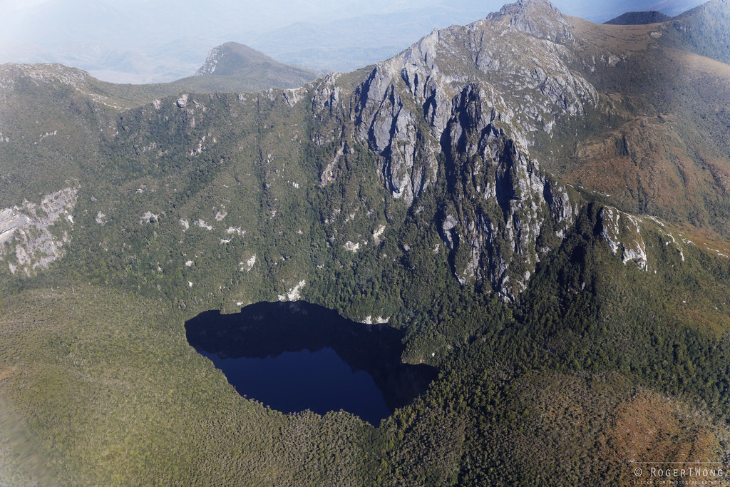
Mt Bobs - 1988 image rephotographed

Paul and our target, Federation Peak

20130202-22-Louisa River

Camp below Hanging Lake, Eastern Arthurs, South West National Park, Tasmania, 2nd January, 1974.
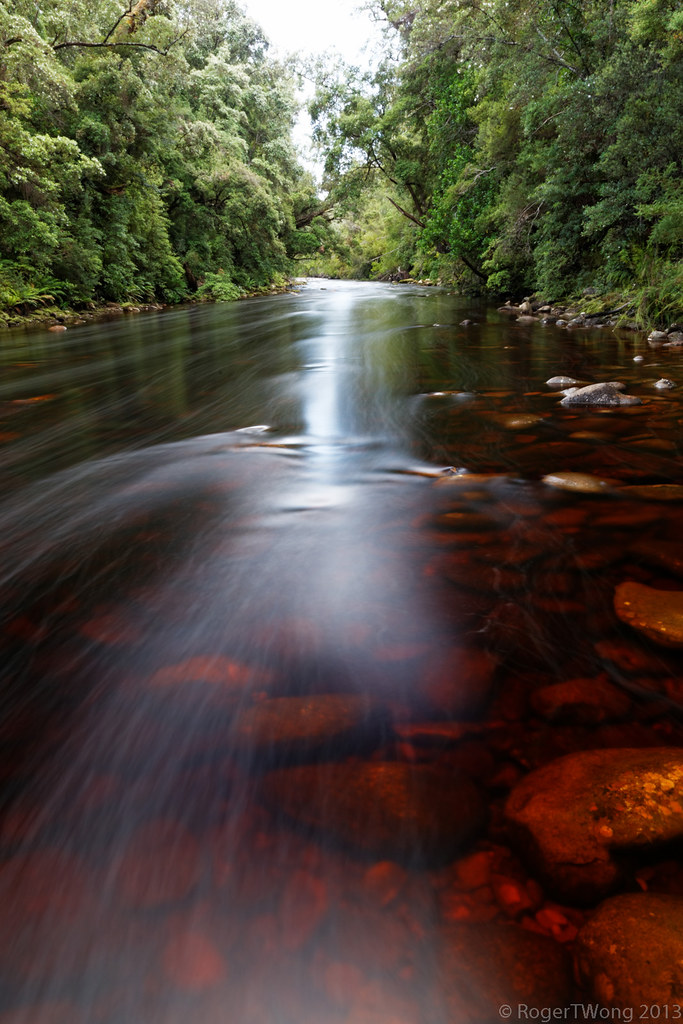
20130202-39-Louisa River portrait

Descending the Climbing Gully, Federation Peak, Eastern Arthurs, SW Tasmania, 9th January, 1970.

Hanging Lake and Geeves Bluff, Eastern Arthurs. SW Tasmania, January, 1970.

On the Southern Traverse, Eastern Arthurs, Federation Peak, SW Tasmania, 9th January, 1970.
20140201-021-Side of Federation Peak.jpg
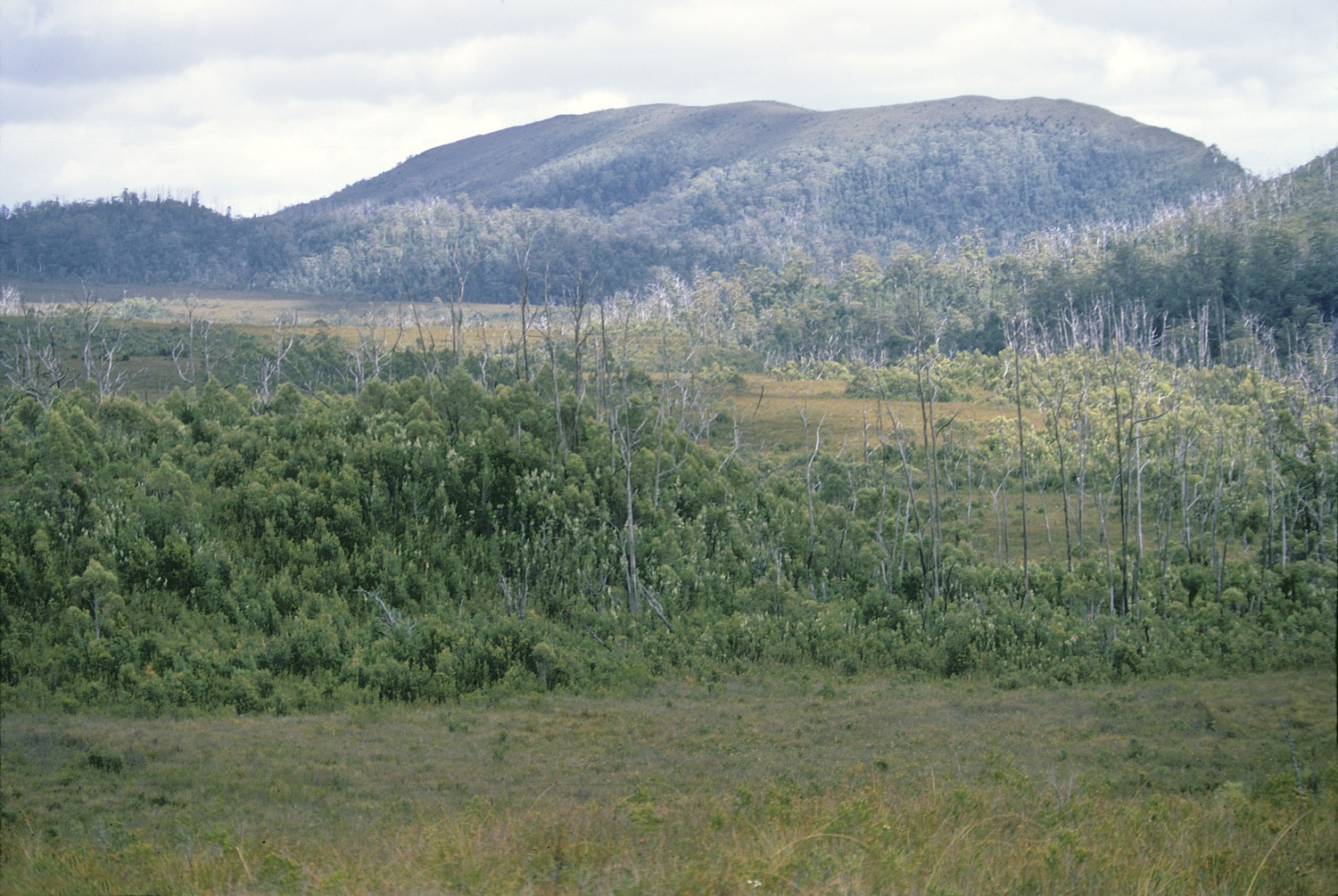
Strike Ridge, Craycroft Valley, SW Tasmania, 8th January, 1973

Mt Hopetoun and the Craycroft Valley from near Craycroft Junction, SW Tasmania, 8th January, 1970

Federation Peak

Mt Hopetoun and the Craycroft Valley, SW Tasmania, 8th January, 1970.
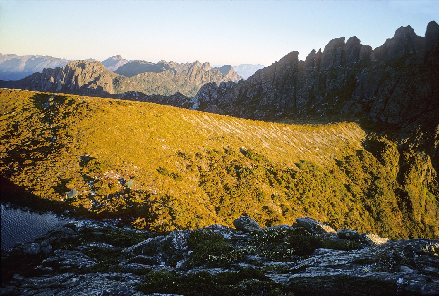
Hanging Lake and Stegosaurus Ridge, Eastern Arthurs, SW Tasmania, January, 1970.

Louisa River Crossing
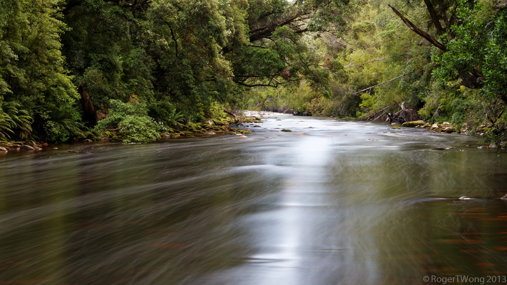
20130202-42-Louisa River flow
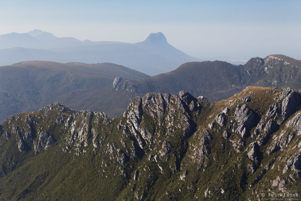
20140201-019-Side of Federation Peak.jpg
Topographic Map of Huon Valley Council, Huon Valley, TAS, Australia
Find elevation by address:

Places in Huon Valley Council, Huon Valley, TAS, Australia:
Places near Huon Valley Council, Huon Valley, TAS, Australia:
Derwent Valley Council
18 Mills Rd
Maydena
Cygnet
Lake Dobson
Mount Field
Lake Fenton
Lucaston
Lachlan
187 Saddle Rd
Kingborough Council
New Norfolk
61 Millhouses Rd
Boyer Oval
Gretna
33 Hillcrest Rd
Hamilton
67 Mill Rd
Glenorchy City Council
165 Morphetts Rd
Recent Searches:
- Elevation of Corso Fratelli Cairoli, 35, Macerata MC, Italy
- Elevation of Tallevast Rd, Sarasota, FL, USA
- Elevation of 4th St E, Sonoma, CA, USA
- Elevation of Black Hollow Rd, Pennsdale, PA, USA
- Elevation of Oakland Ave, Williamsport, PA, USA
- Elevation of Pedrógão Grande, Portugal
- Elevation of Klee Dr, Martinsburg, WV, USA
- Elevation of Via Roma, Pieranica CR, Italy
- Elevation of Tavkvetili Mountain, Georgia
- Elevation of Hartfords Bluff Cir, Mt Pleasant, SC, USA