Elevation of Hot Well Dunes, Safford, AZ, USA
Location: United States > Arizona > Graham County >
Longitude: -109.42653
Latitude: 32.5234345
Elevation: 1049m / 3442feet
Barometric Pressure: 89KPa
Elevation Map:
Satellite Map:
Related Photos:
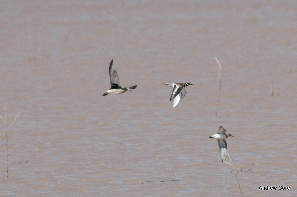
Black-bellied Plover

Project Flickr - Week39 - Silhouette in the Dunes

Southwest Airlines 737 MAX 8

American Redstart, Graham County AZ
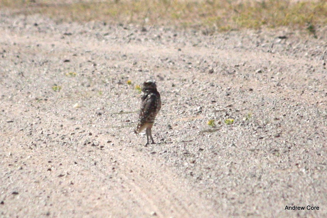
Burrowing Owl, Graham County AZ

(#102) Valentine Cactus

American Redstart, Graham County AZ
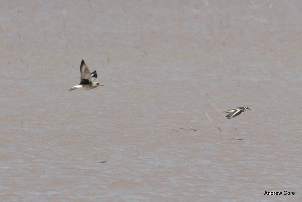
Black-bellied Plover
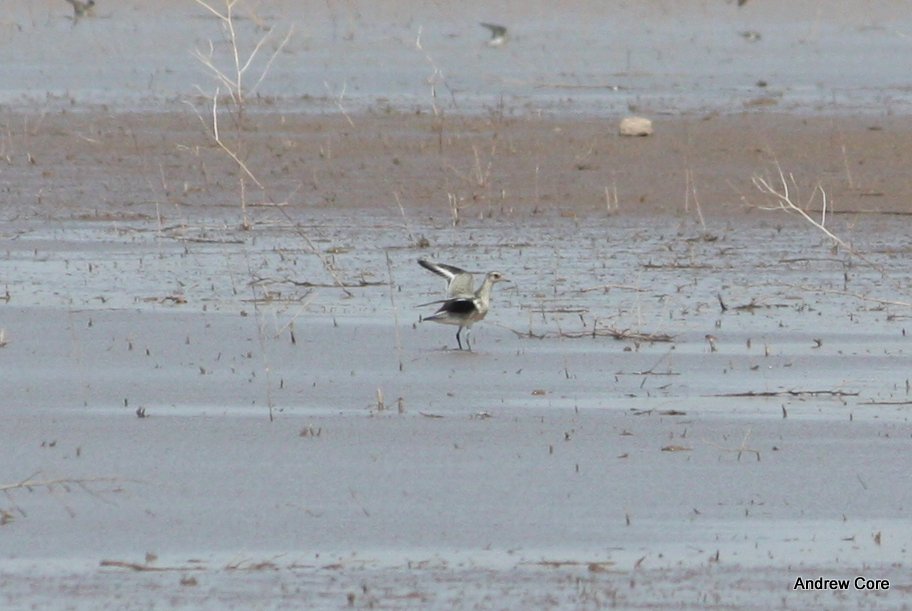
Black-bellied Plover
Topographic Map of Hot Well Dunes, Safford, AZ, USA
Find elevation by address:

Places near Hot Well Dunes, Safford, AZ, USA:
10250 Sky Blue Rd
5334 Foote Ave
South Larson Lane
S Church St, Safford, AZ, USA
E Buena Vista Rd, Safford, AZ, USA
E Clifton St, Solomon, AZ, USA
Solomon
Duncan
Burma Road
E Hollywood Rd, Safford, AZ, USA
Guthrie
Turtle Mountain
831 Bobcat Dr
Vanderbilt Peak
Clifton
30 Coronado Blvd, Clifton, AZ, USA
Saddleback Mountain
United States Postal Service
125 Park Ave
Summit Peak
Recent Searches:
- Elevation of Corso Fratelli Cairoli, 35, Macerata MC, Italy
- Elevation of Tallevast Rd, Sarasota, FL, USA
- Elevation of 4th St E, Sonoma, CA, USA
- Elevation of Black Hollow Rd, Pennsdale, PA, USA
- Elevation of Oakland Ave, Williamsport, PA, USA
- Elevation of Pedrógão Grande, Portugal
- Elevation of Klee Dr, Martinsburg, WV, USA
- Elevation of Via Roma, Pieranica CR, Italy
- Elevation of Tavkvetili Mountain, Georgia
- Elevation of Hartfords Bluff Cir, Mt Pleasant, SC, USA