Elevation of Vanderbilt Peak, New Mexico, USA
Location: United States > New Mexico > Mule Creek >
Longitude: -108.99700
Latitude: 32.8517366
Elevation: 2019m / 6624feet
Barometric Pressure: 79KPa
Elevation Map:
Satellite Map:
Related Photos:
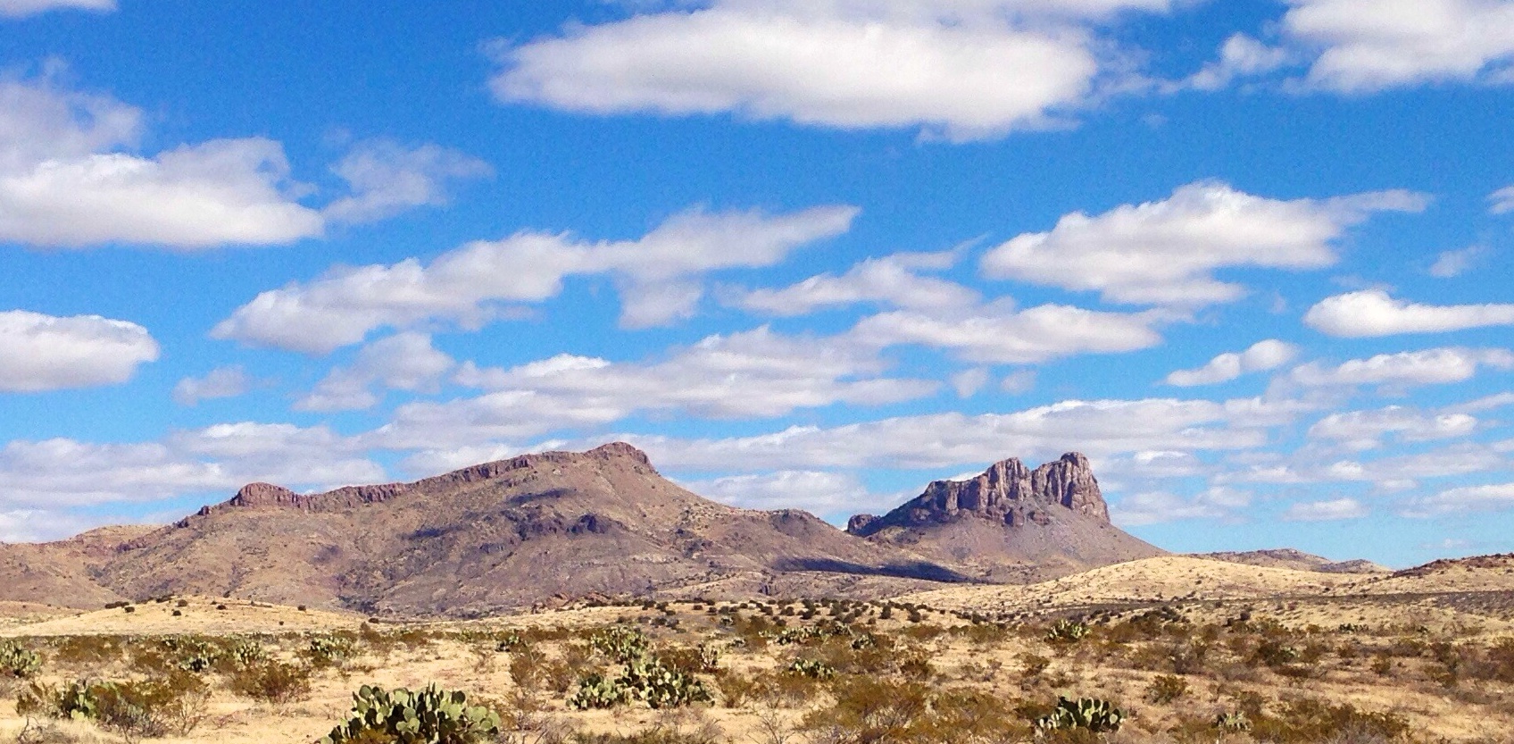
Steeple Rock, NM
Topographic Map of Vanderbilt Peak, New Mexico, USA
Find elevation by address:

Places near Vanderbilt Peak, New Mexico, USA:
Summit Peak
Saddleback Mountain
Crookson Peak
Deer Peak
Yellowjacket Peak
Tillie Hall Peak
Winchester Peak
Brushy Mountain
1368 Brushy Mountain Rd
Applegate Mountain
Duncan
Mcmullen Peak
Burma Road
Dry Section Mountain
Guthrie
Mule Creek
Mule Mountains Hp
831 Bobcat Dr
Redrock
Buckhorn
Recent Searches:
- Elevation of Corso Fratelli Cairoli, 35, Macerata MC, Italy
- Elevation of Tallevast Rd, Sarasota, FL, USA
- Elevation of 4th St E, Sonoma, CA, USA
- Elevation of Black Hollow Rd, Pennsdale, PA, USA
- Elevation of Oakland Ave, Williamsport, PA, USA
- Elevation of Pedrógão Grande, Portugal
- Elevation of Klee Dr, Martinsburg, WV, USA
- Elevation of Via Roma, Pieranica CR, Italy
- Elevation of Tavkvetili Mountain, Georgia
- Elevation of Hartfords Bluff Cir, Mt Pleasant, SC, USA