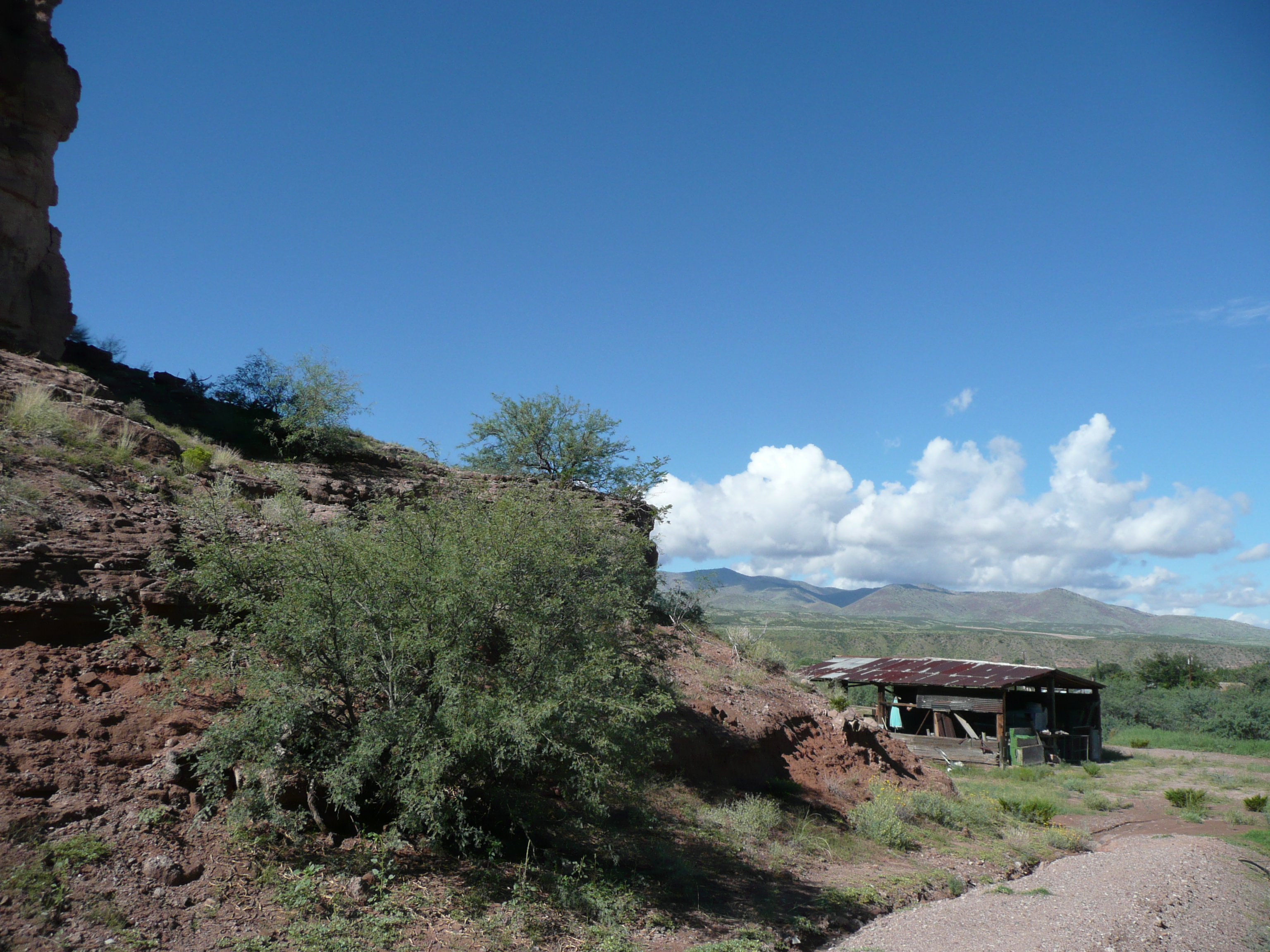
Elevation of Burma Road, Burma Rd, Arizona, USA
Location: United States > Arizona > Greenlee County > Duncan >
Longitude: -109.17824
Latitude: 32.8322148
Elevation: 1084m / 3556feet
Barometric Pressure: 89KPa
Elevation Map:
Satellite Map:
Related Photos:

PolaCon Bound

Guthrie along the Gila

U.S. 191, Greenlee County, Arizona (2)

U.S. 191, Greenlee County, Arizona

Duncan AZ

Peloncillo mountains

Peloncillo mountains

New bridge

Biscuit Canyon

Unusually lush
The old farm

Biscuit Canyon

Lonely lamp
Topographic Map of Burma Road, Burma Rd, Arizona, USA
Find elevation by address:

Places near Burma Road, Burma Rd, Arizona, USA:
Duncan
Guthrie
Saddleback Mountain
Vanderbilt Peak
831 Bobcat Dr
Summit Peak
Winchester Peak
Yellowjacket Peak
Crookson Peak
Tillie Hall Peak
Mcmullen Peak
Clifton
30 Coronado Blvd, Clifton, AZ, USA
125 Park Ave
United States Postal Service
1368 Brushy Mountain Rd
Brushy Mountain
Deer Peak
Applegate Mountain
Dry Section Mountain
Recent Searches:
- Elevation of Corso Fratelli Cairoli, 35, Macerata MC, Italy
- Elevation of Tallevast Rd, Sarasota, FL, USA
- Elevation of 4th St E, Sonoma, CA, USA
- Elevation of Black Hollow Rd, Pennsdale, PA, USA
- Elevation of Oakland Ave, Williamsport, PA, USA
- Elevation of Pedrógão Grande, Portugal
- Elevation of Klee Dr, Martinsburg, WV, USA
- Elevation of Via Roma, Pieranica CR, Italy
- Elevation of Tavkvetili Mountain, Georgia
- Elevation of Hartfords Bluff Cir, Mt Pleasant, SC, USA