Elevation of Hosmer, SD, USA
Location: United States > South Dakota > Edmunds County >
Longitude: -99.474839
Latitude: 45.5788675
Elevation: 581m / 1906feet
Barometric Pressure: 95KPa
Elevation Map:
Satellite Map:
Related Photos:

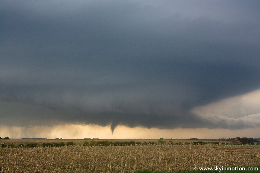
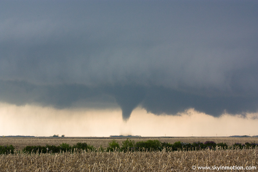
abandoned homestead
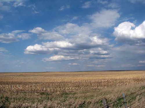
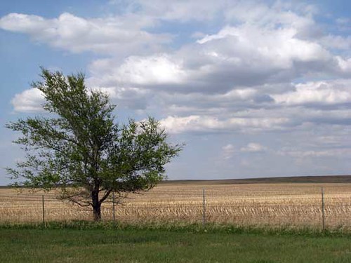
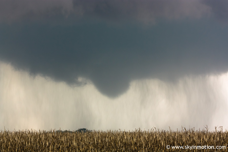
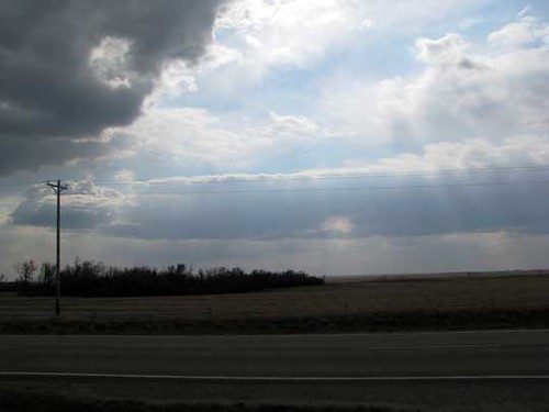
Field near Eureka
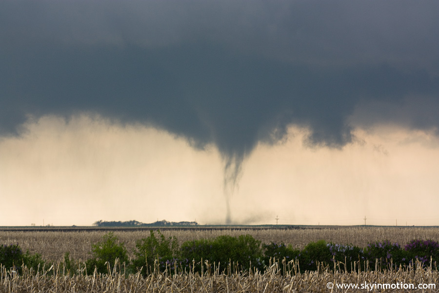
2010-05-23_3127
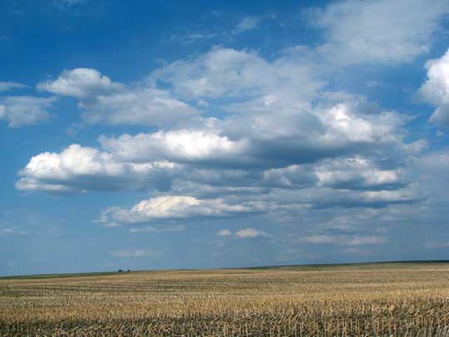
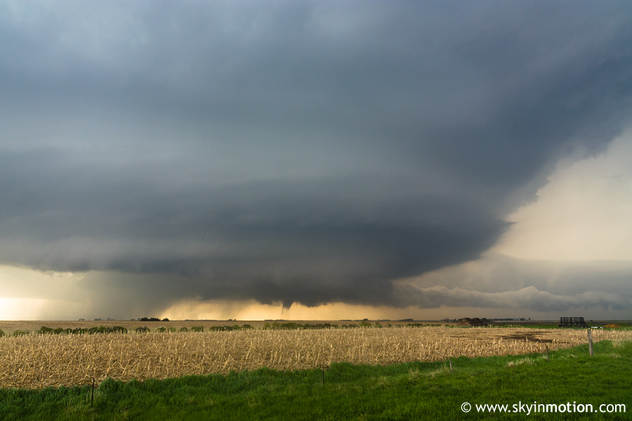
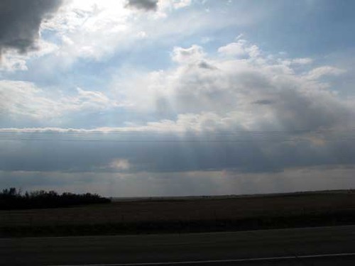
Field near Eureka
St. John’s Cemetery
2010-05-22_3093
2010-05-23_3111
2010-05-22_3088
2010-05-22_3084
2010-05-22_3079
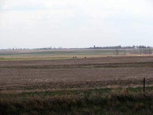
Field near Eureka
Field near Eureka
Field near Eureka
Topographic Map of Hosmer, SD, USA
Find elevation by address:

Places near Hosmer, SD, USA:
Hosmer Veterinary Clinic
101 E 5th St
Edmunds County
Ashley
Mcintosh County
37190 Old Hwy 12
6th St S, Wishek, ND, USA
Wishek
Cortlandt Township
381 W Lake Dr
Westport Township
37190 Co Rd 12w
37190 Co Rd 12w
Aberdeen Township
Us-281 & 118th St
2400 6th Ave Sw
1400 6th Ave Sw
217 9th Ave Sw
124 S Main St
124 N Main St
Recent Searches:
- Elevation of Corso Fratelli Cairoli, 35, Macerata MC, Italy
- Elevation of Tallevast Rd, Sarasota, FL, USA
- Elevation of 4th St E, Sonoma, CA, USA
- Elevation of Black Hollow Rd, Pennsdale, PA, USA
- Elevation of Oakland Ave, Williamsport, PA, USA
- Elevation of Pedrógão Grande, Portugal
- Elevation of Klee Dr, Martinsburg, WV, USA
- Elevation of Via Roma, Pieranica CR, Italy
- Elevation of Tavkvetili Mountain, Georgia
- Elevation of Hartfords Bluff Cir, Mt Pleasant, SC, USA