Elevation of W Lake Dr, Ipswich, SD, USA
Location: United States > South Dakota > Edmunds County > Cortlandt Township >
Longitude: -98.754070
Latitude: 45.4503689
Elevation: -10000m / -32808feet
Barometric Pressure: 295KPa
Elevation Map:
Satellite Map:
Related Photos:

BNSF 5962 at Mina, SD

The Crave'n Corner

The Lakehouse

CBEX Brown Co., SD 2010-10-22 (45).

Couples Photo at the Lake House

Dan and Pat at the Lake House

Group Photo at the Lake House
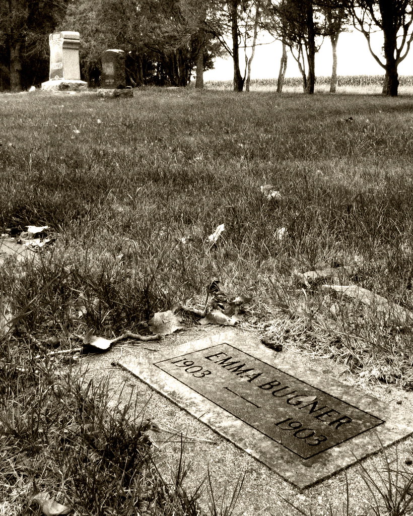
Emma, 1903-1903

December 21, 1964
Topographic Map of W Lake Dr, Ipswich, SD, USA
Find elevation by address:

Places near W Lake Dr, Ipswich, SD, USA:
37190 Co Rd 12w
37190 Co Rd 12w
Aberdeen Township
2400 6th Ave Sw
1400 6th Ave Sw
217 9th Ave Sw
124 S Main St
1209 S Main St
5 S Main St, Aberdeen, SD, USA
124 N Main St
Aberdeen
1119 N Dakota St
1632 N Harrison St
1711 Central Loop
1717 Central Loop
1618 S Mccoy St
2400 6th Ave Se
2522 13th Ave Se
2351 130th St
Recent Searches:
- Elevation of Corso Fratelli Cairoli, 35, Macerata MC, Italy
- Elevation of Tallevast Rd, Sarasota, FL, USA
- Elevation of 4th St E, Sonoma, CA, USA
- Elevation of Black Hollow Rd, Pennsdale, PA, USA
- Elevation of Oakland Ave, Williamsport, PA, USA
- Elevation of Pedrógão Grande, Portugal
- Elevation of Klee Dr, Martinsburg, WV, USA
- Elevation of Via Roma, Pieranica CR, Italy
- Elevation of Tavkvetili Mountain, Georgia
- Elevation of Hartfords Bluff Cir, Mt Pleasant, SC, USA