Elevation of Old Hwy 12, Ipswich, SD, USA
Location: United States > South Dakota > Edmunds County > Cortlandt Township >
Longitude: -98.805663
Latitude: 45.4616886
Elevation: 444m / 1457feet
Barometric Pressure: 96KPa
Elevation Map:
Satellite Map:
Related Photos:

Your mom

Heartland 1:00 AM
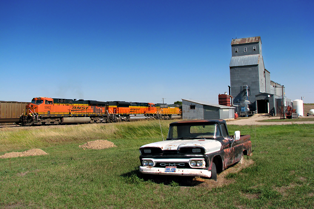
BNSF 5962 at Mina, SD

The Crave'n Corner

The Lakehouse

Wonder how the other 38 people in town feel about the color?
CBEX Brown Co., SD 2010-10-22 (45).
Topographic Map of Old Hwy 12, Ipswich, SD, USA
Find elevation by address:

Places near Old Hwy 12, Ipswich, SD, USA:
Cortlandt Township
381 W Lake Dr
37190 Co Rd 12w
37190 Co Rd 12w
Aberdeen Township
2400 6th Ave Sw
1400 6th Ave Sw
Westport Township
217 9th Ave Sw
124 S Main St
5 S Main St, Aberdeen, SD, USA
124 N Main St
1209 S Main St
Aberdeen
1119 N Dakota St
2nd Ave NW, Warner, SD, USA
1632 N Harrison St
Warner
1711 Central Loop
1717 Central Loop
Recent Searches:
- Elevation of Corso Fratelli Cairoli, 35, Macerata MC, Italy
- Elevation of Tallevast Rd, Sarasota, FL, USA
- Elevation of 4th St E, Sonoma, CA, USA
- Elevation of Black Hollow Rd, Pennsdale, PA, USA
- Elevation of Oakland Ave, Williamsport, PA, USA
- Elevation of Pedrógão Grande, Portugal
- Elevation of Klee Dr, Martinsburg, WV, USA
- Elevation of Via Roma, Pieranica CR, Italy
- Elevation of Tavkvetili Mountain, Georgia
- Elevation of Hartfords Bluff Cir, Mt Pleasant, SC, USA