Elevation of Horse Peak Road, Horse Peak Rd, Datil, NM, USA
Location: United States > New Mexico > Datil >
Longitude: -108.12163
Latitude: 34.0416705
Elevation: 2236m / 7336feet
Barometric Pressure: 77KPa
Elevation Map:
Satellite Map:
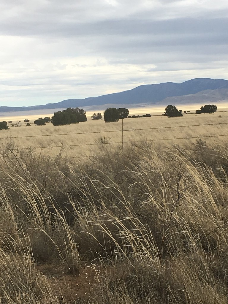
Related Photos:

Horse Springs, NM 2345a1-reA
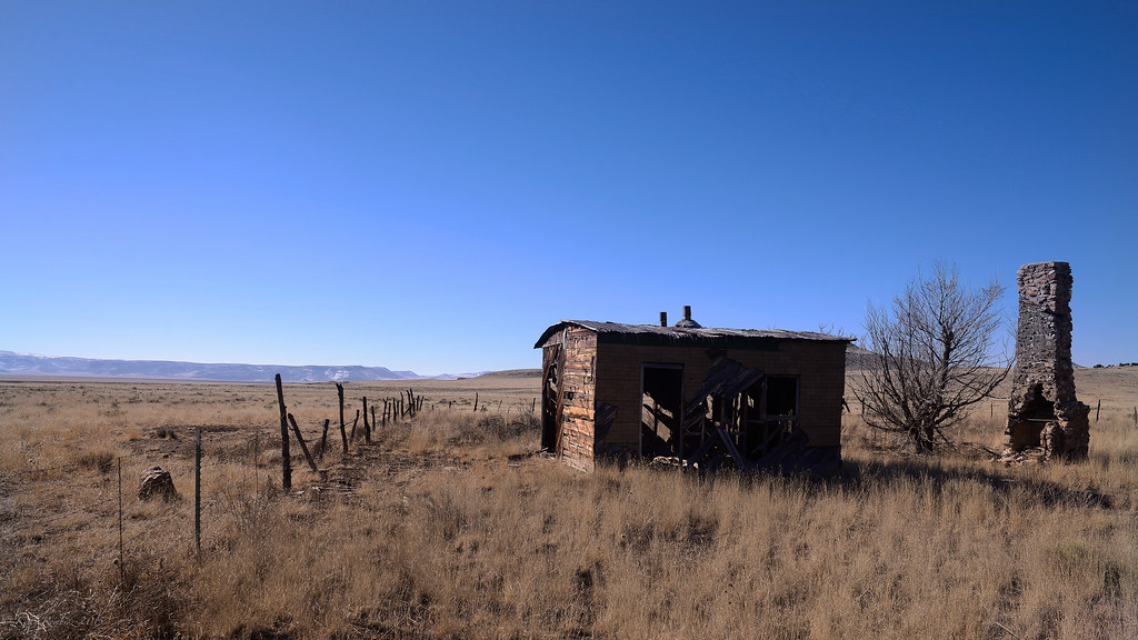
Needs paint

CAD0003468a
CAD0003461a
CAD0003464a

CAD0003466a
CAD0003457a
CAD0003458a

CAD0003381a
CAD0003383a

CAD0003384a

CAD0003387a

CAD0003390a
CAD0003392a
CAD0003395a
CAD0003398a
CAD0003400a
CAD0003404a
CAD0003407a

CAD0003494a
CAD0003321a

CAD0003325a
Topographic Map of Horse Peak Road, Horse Peak Rd, Datil, NM, USA
Find elevation by address:

Places near Horse Peak Road, Horse Peak Rd, Datil, NM, USA:
Wallace Mesa Trail
54 Campfire Trail
54 Campfire Trail
Uphill Drive
Wagon Trail
Wagon Trail
Wagon Trail
End-o-trail
Nance Drive
Jackrabbit Run
Sugarloaf Mountain
Cox Peak
Crosby Mountains Hp
Fawn Circle
Anderson Mountain
East Sugarloaf Mountain
Pie Town
Capital Dome
Datil Well Campground
Datil
Recent Searches:
- Elevation of Corso Fratelli Cairoli, 35, Macerata MC, Italy
- Elevation of Tallevast Rd, Sarasota, FL, USA
- Elevation of 4th St E, Sonoma, CA, USA
- Elevation of Black Hollow Rd, Pennsdale, PA, USA
- Elevation of Oakland Ave, Williamsport, PA, USA
- Elevation of Pedrógão Grande, Portugal
- Elevation of Klee Dr, Martinsburg, WV, USA
- Elevation of Via Roma, Pieranica CR, Italy
- Elevation of Tavkvetili Mountain, Georgia
- Elevation of Hartfords Bluff Cir, Mt Pleasant, SC, USA