Elevation of Uphill Drive, Uphill Dr, Datil, NM, USA
Location: United States > New Mexico > Datil >
Longitude: -108.13715
Latitude: 34.035102
Elevation: 2270m / 7447feet
Barometric Pressure: 77KPa
Elevation Map:
Satellite Map:
Related Photos:

Horse Springs, NM 2345a1-reA
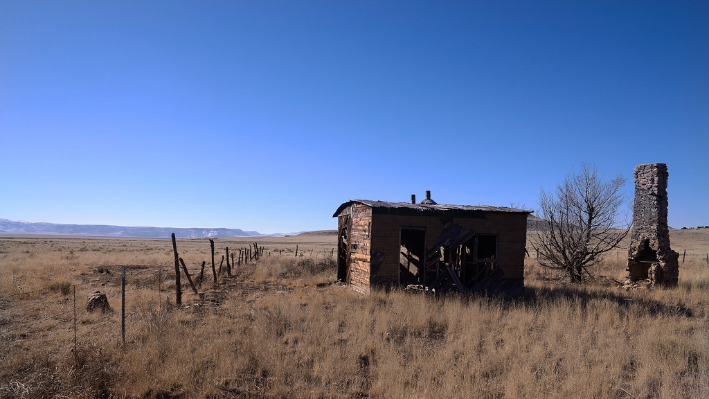
Needs paint
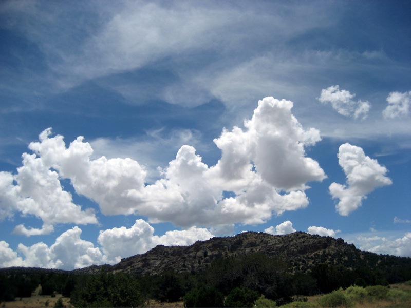
new mexico & sky

Another Fire East Of Pie Town, NM
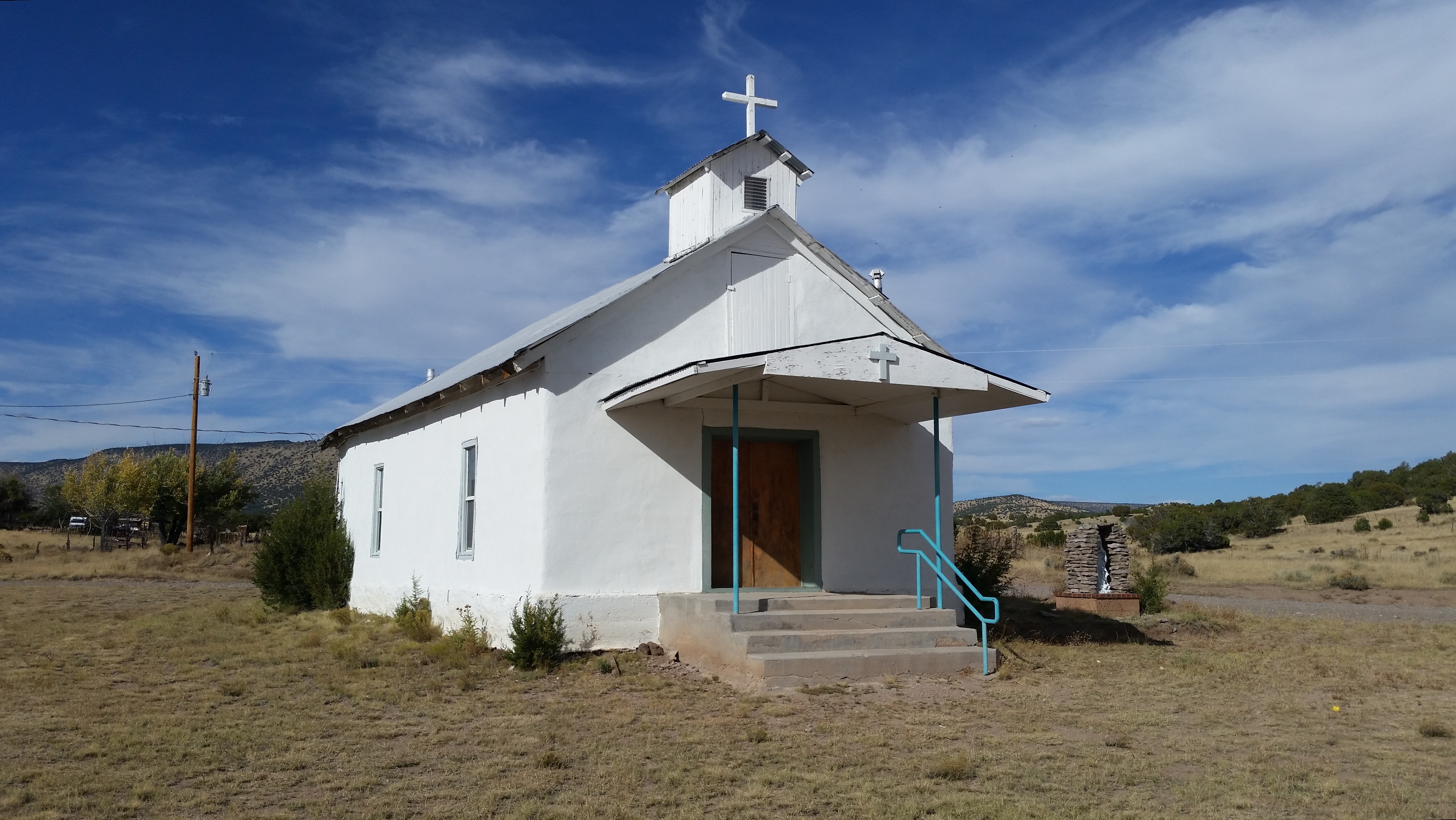
St Anne Mission Church, Horse Springs, NM
Topographic Map of Uphill Drive, Uphill Dr, Datil, NM, USA
Find elevation by address:

Places near Uphill Drive, Uphill Dr, Datil, NM, USA:
54 Campfire Trail
54 Campfire Trail
Wallace Mesa Trail
Horse Peak Road
Nance Drive
Wagon Trail
Wagon Trail
Wagon Trail
End-o-trail
Jackrabbit Run
Sugarloaf Mountain
Cox Peak
Crosby Mountains Hp
Fawn Circle
Anderson Mountain
Pie Town
East Sugarloaf Mountain
Capital Dome
Datil Well Campground
Datil
Recent Searches:
- Elevation of Corso Fratelli Cairoli, 35, Macerata MC, Italy
- Elevation of Tallevast Rd, Sarasota, FL, USA
- Elevation of 4th St E, Sonoma, CA, USA
- Elevation of Black Hollow Rd, Pennsdale, PA, USA
- Elevation of Oakland Ave, Williamsport, PA, USA
- Elevation of Pedrógão Grande, Portugal
- Elevation of Klee Dr, Martinsburg, WV, USA
- Elevation of Via Roma, Pieranica CR, Italy
- Elevation of Tavkvetili Mountain, Georgia
- Elevation of Hartfords Bluff Cir, Mt Pleasant, SC, USA