Elevation of Hopkinsville Rd, Cadiz, KY, USA
Location: United States > Kentucky > Trigg County > Cadiz >
Longitude: -87.741079
Latitude: 36.8783238
Elevation: 164m / 538feet
Barometric Pressure: 99KPa
Elevation Map:
Satellite Map:
Related Photos:

Keep Out

Cornelius Cemetery

Cornelius Cemetery

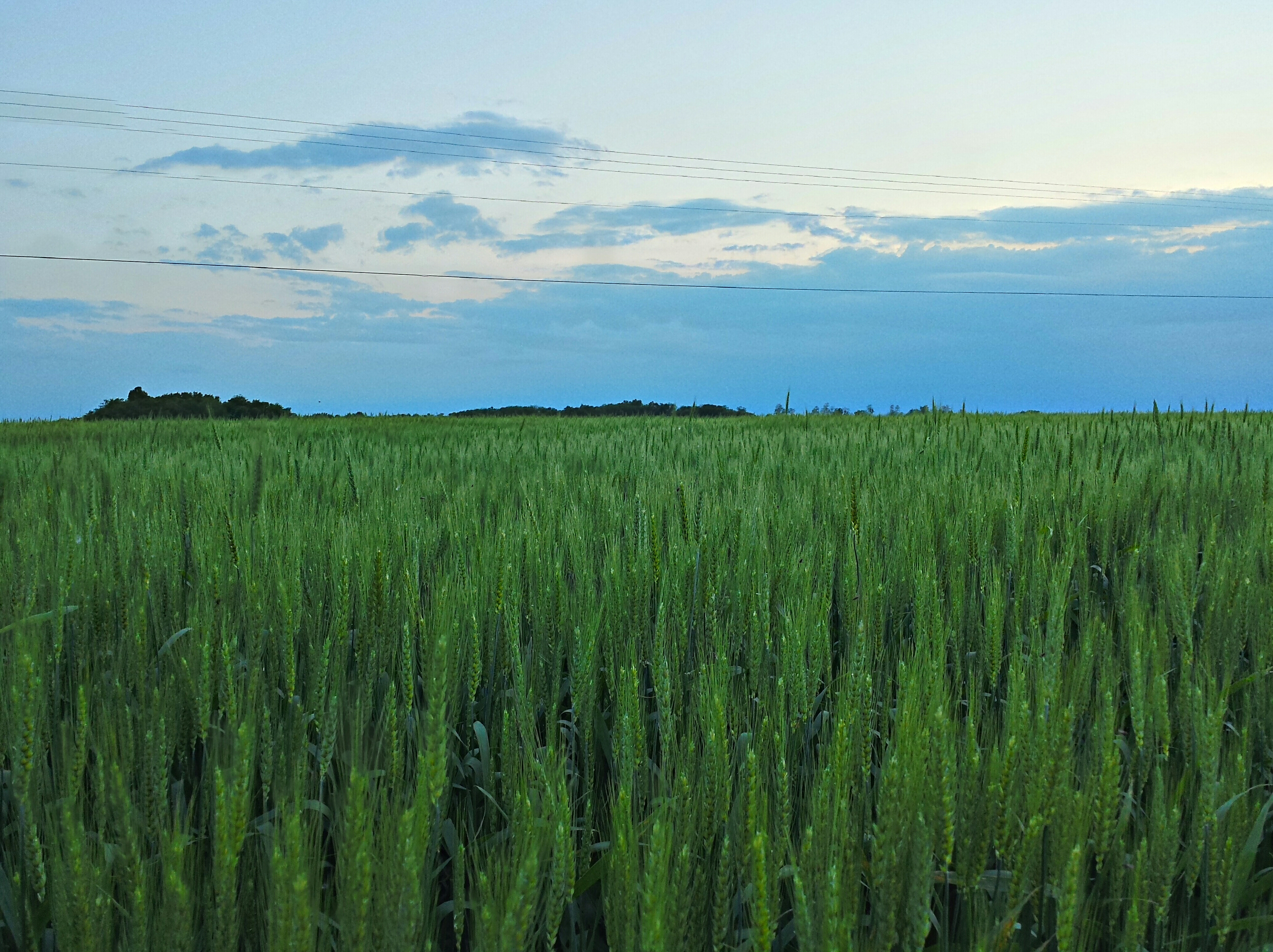
Kentucky Barn 1

In the Golden Light
2014-05-15 09.10.00 1

fall 2012

Where #bourbon is born. #themove #roadtrip

Kentucky Barn 2
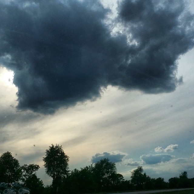
#CloudFormations #Kentucky @kentuckygram #kentuckygram

fall 2012

Justin Allen fly fishing November 2010

Garden of the Gods trip 2010
Topographic Map of Hopkinsville Rd, Cadiz, KY, USA
Find elevation by address:

Places near Hopkinsville Rd, Cadiz, KY, USA:
Trigg County
Gracey
Railroad St S, Gracey, KY, USA
Cadiz
11715 Julien Rd
46 Deepwood Dr
Hay Road
1586 Quisenberry Ln
Binns Mill Rd, Herndon, KY, USA
4857 Roaring Spring Rd
Roaring Spring Rd, Herndon, KY, USA
1910 Donaldson Creek Rd
1890 Roaring Spring Rd
4755 Harmony Grove Rd
4086 Clarks Store Sinking Fork Rd
4086 Clarks Store Sinking Fork Rd
4086 Clarks Store Sinking Fork Rd
4086 Clarks Store Sinking Fork Rd
Sam Downs Road
Rockcastle Rd, Cadiz, KY, USA
Recent Searches:
- Elevation of Corso Fratelli Cairoli, 35, Macerata MC, Italy
- Elevation of Tallevast Rd, Sarasota, FL, USA
- Elevation of 4th St E, Sonoma, CA, USA
- Elevation of Black Hollow Rd, Pennsdale, PA, USA
- Elevation of Oakland Ave, Williamsport, PA, USA
- Elevation of Pedrógão Grande, Portugal
- Elevation of Klee Dr, Martinsburg, WV, USA
- Elevation of Via Roma, Pieranica CR, Italy
- Elevation of Tavkvetili Mountain, Georgia
- Elevation of Hartfords Bluff Cir, Mt Pleasant, SC, USA