Elevation of Hay Road, Hay Rd, Princeton, KY, USA
Location: United States > Kentucky > Caldwell County > Princeton >
Longitude: -87.742955
Latitude: 36.9995482
Elevation: 173m / 568feet
Barometric Pressure: 99KPa
Elevation Map:
Satellite Map:
Related Photos:

Clearing Skies
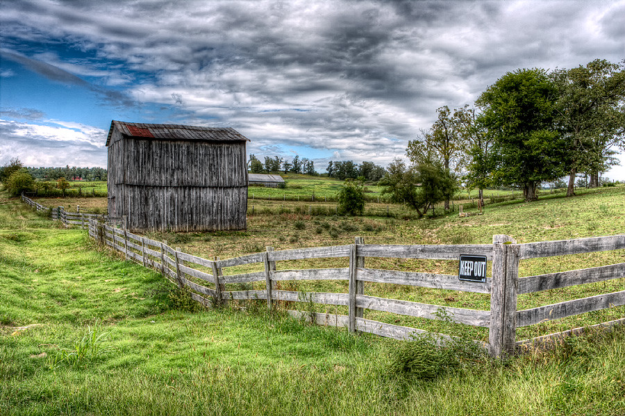
Keep Out

Sunset And Reflections I

Sunset And Reflections II

Forestry Road

Cabin in the Woods

Quiet Stream

Still Standing

Slowly Going Below The Treeline

Cornelius Cemetery

Cornelius Cemetery

The view from my room. #research #retreat

fall 2012

#CloudFormations #Kentucky @kentuckygram #kentuckygram

fall 2012

Sunset in Cadiz, Ky.
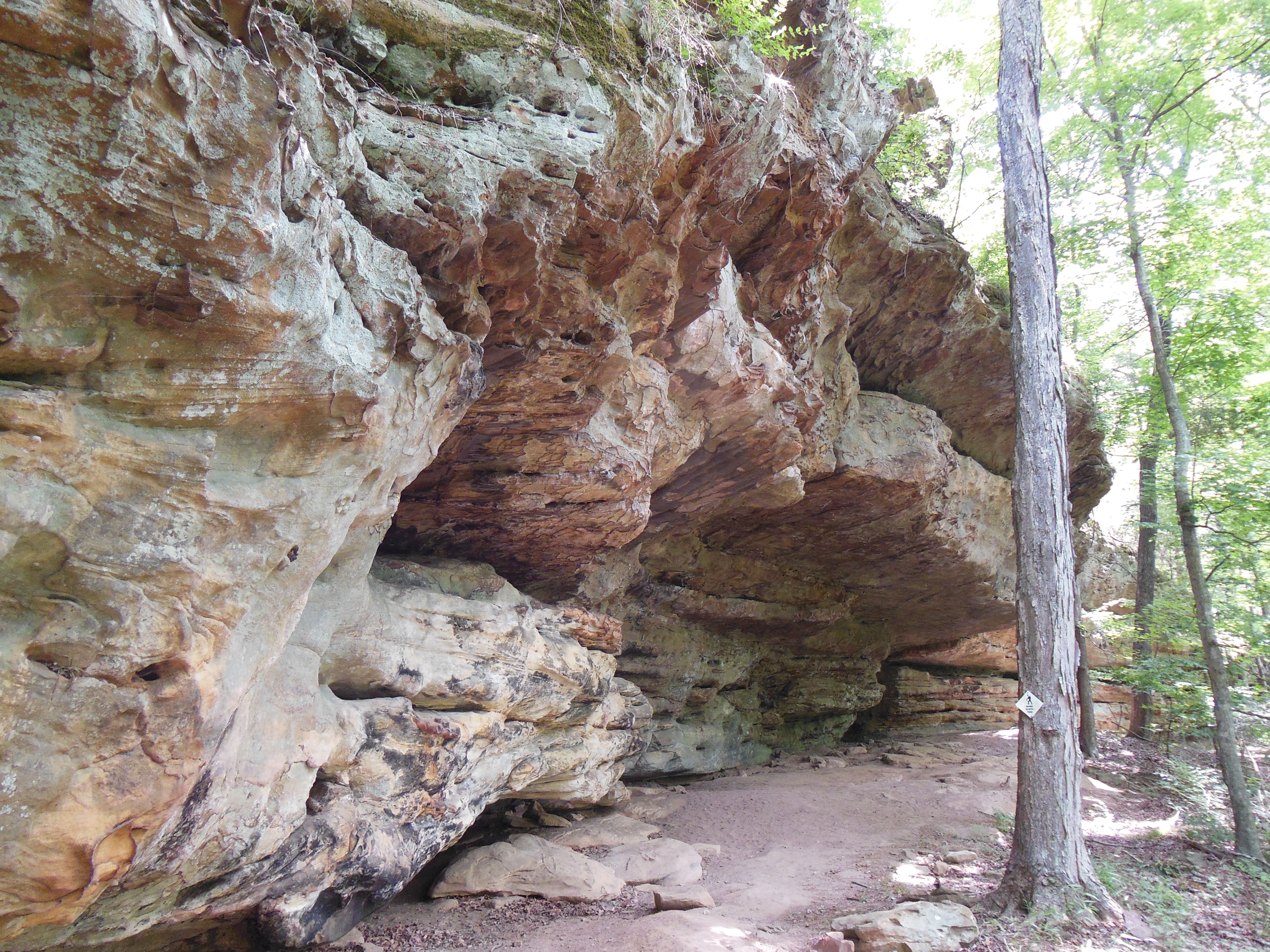
Indian Bluffs Trail, Pennyrile Forest State Resort Park
Topographic Map of Hay Road, Hay Rd, Princeton, KY, USA
Find elevation by address:

Places near Hay Road, Hay Rd, Princeton, KY, USA:
Claxton
Hopkinsville Rd, Cadiz, KY, USA
Hopkinsville Rd, Princeton, KY, USA
Jones-keeney Wildlife Management Area
Hopkinsville Rd, Princeton, KY, USA
Mount Hebron Church Road
Waterfall Cave
Gracey
Mount Hebron Church
Railroad St S, Gracey, KY, USA
Lewistown Rd, Princeton, KY, USA
Trigg County
KY-, Dawson Springs, KY, USA
4086 Clarks Store Sinking Fork Rd
4086 Clarks Store Sinking Fork Rd
4086 Clarks Store Sinking Fork Rd
4086 Clarks Store Sinking Fork Rd
Cadiz
White School House Road
1586 Quisenberry Ln
Recent Searches:
- Elevation of Corso Fratelli Cairoli, 35, Macerata MC, Italy
- Elevation of Tallevast Rd, Sarasota, FL, USA
- Elevation of 4th St E, Sonoma, CA, USA
- Elevation of Black Hollow Rd, Pennsdale, PA, USA
- Elevation of Oakland Ave, Williamsport, PA, USA
- Elevation of Pedrógão Grande, Portugal
- Elevation of Klee Dr, Martinsburg, WV, USA
- Elevation of Via Roma, Pieranica CR, Italy
- Elevation of Tavkvetili Mountain, Georgia
- Elevation of Hartfords Bluff Cir, Mt Pleasant, SC, USA