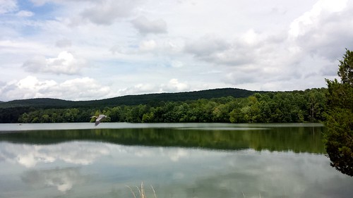
Elevation of Hollytree, AL, USA
Location: United States > Alabama > Jackson County >
Longitude: -86.2533183
Latitude: 34.798976
Elevation: 216m / 709feet
Barometric Pressure: 0KPa
Related Photos:
Topographic Map of Hollytree, AL, USA
Find elevation by address:

Places in Hollytree, AL, USA:
Places near Hollytree, AL, USA:
Co Rd 4, Hollytree, AL, USA
Trenton
Co Rd 8, Woodville, AL, USA
Pleasant Groves
AL-65, Paint Rock, AL, USA
Co Rd 15, Woodville, AL, USA
Paint Rock River
Gurley Pike
Gurley
Paint Rock
44 Knolton St
105 Collins St
Ryland Pike, Huntsville, AL, USA
576 Shooting Star Tr
Brownsboro
33 Croft Dr
Mcmullen Cove Guard House
122 Delta Pine Dr
Moontown Airport-3m5
2805 Centerridge Rd Se
Recent Searches:
- Elevation of Dharamkot Tahsil, Punjab, India
- Elevation of Bhinder Khurd, Dharamkot Tahsil, Punjab, India
- Elevation of 2881, Chabot Drive, San Bruno, San Mateo County, California, 94066, USA
- Elevation of 10370, West 107th Circle, Westminster, Jefferson County, Colorado, 80021, USA
- Elevation of 611, Roman Road, Old Ford, Bow, London, England, E3 2RW, United Kingdom
- Elevation of 116, Beartown Road, Underhill, Chittenden County, Vermont, 05489, USA
- Elevation of Window Rock, Colfax County, New Mexico, 87714, USA
- Elevation of 4807, Rosecroft Street, Kempsville Gardens, Virginia Beach, Virginia, 23464, USA
- Elevation map of Matawinie, Quebec, Canada
- Elevation of Sainte-Émélie-de-l'Énergie, Matawinie, Quebec, Canada
- Elevation of Rue du Pont, Sainte-Émélie-de-l'Énergie, Matawinie, Quebec, J0K2K0, Canada
- Elevation of 8, Rue de Bécancour, Blainville, Thérèse-De Blainville, Quebec, J7B1N2, Canada
- Elevation of Wilmot Court North, 163, University Avenue West, Northdale, Waterloo, Region of Waterloo, Ontario, N2L6B6, Canada
- Elevation map of Panamá Province, Panama
- Elevation of Balboa, Panamá Province, Panama
- Elevation of San Miguel, Balboa, Panamá Province, Panama
- Elevation of Isla Gibraleón, San Miguel, Balboa, Panamá Province, Panama
- Elevation of 4655, Krischke Road, Schulenburg, Fayette County, Texas, 78956, USA
- Elevation of Carnegie Avenue, Downtown Cleveland, Cleveland, Cuyahoga County, Ohio, 44115, USA
- Elevation of Walhonding, Coshocton County, Ohio, USA
