Elevation of AL-65, Paint Rock, AL, USA
Location: United States > Alabama > Jackson County > Paint Rock >
Longitude: -86.304175
Latitude: 34.7244753
Elevation: 195m / 640feet
Barometric Pressure: 99KPa
Elevation Map:
Satellite Map:
Related Photos:
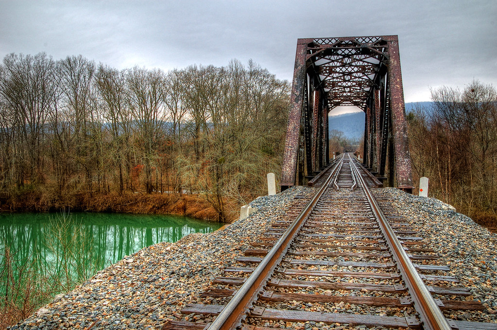
Green Lagoon
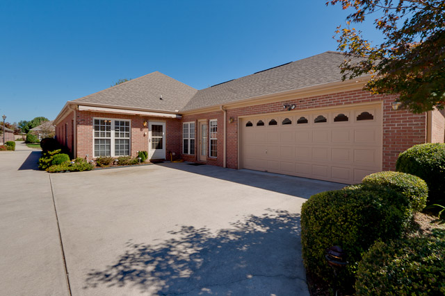
Garage and parking pads
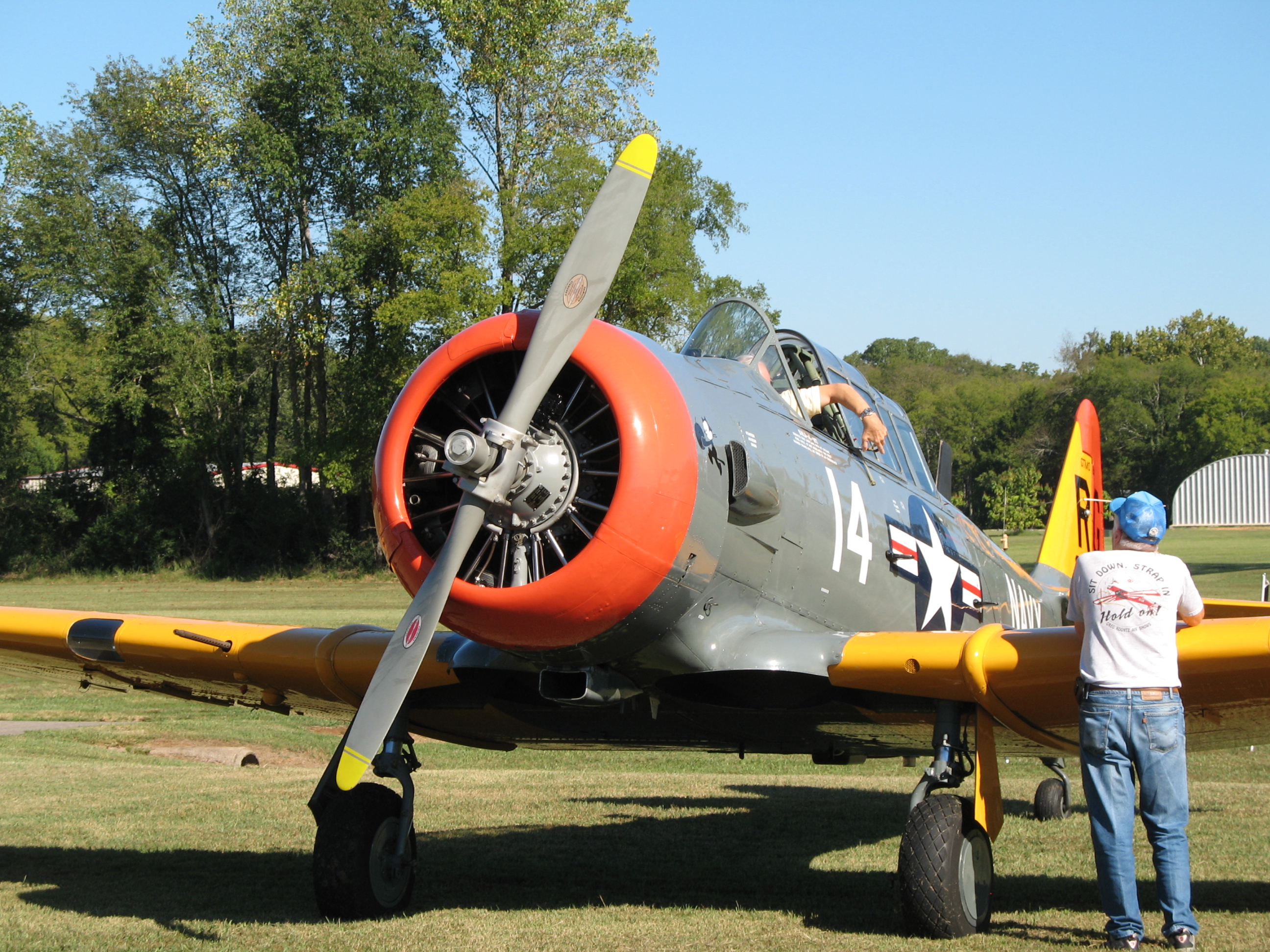
Texan front view
Bue biplane, side view close up
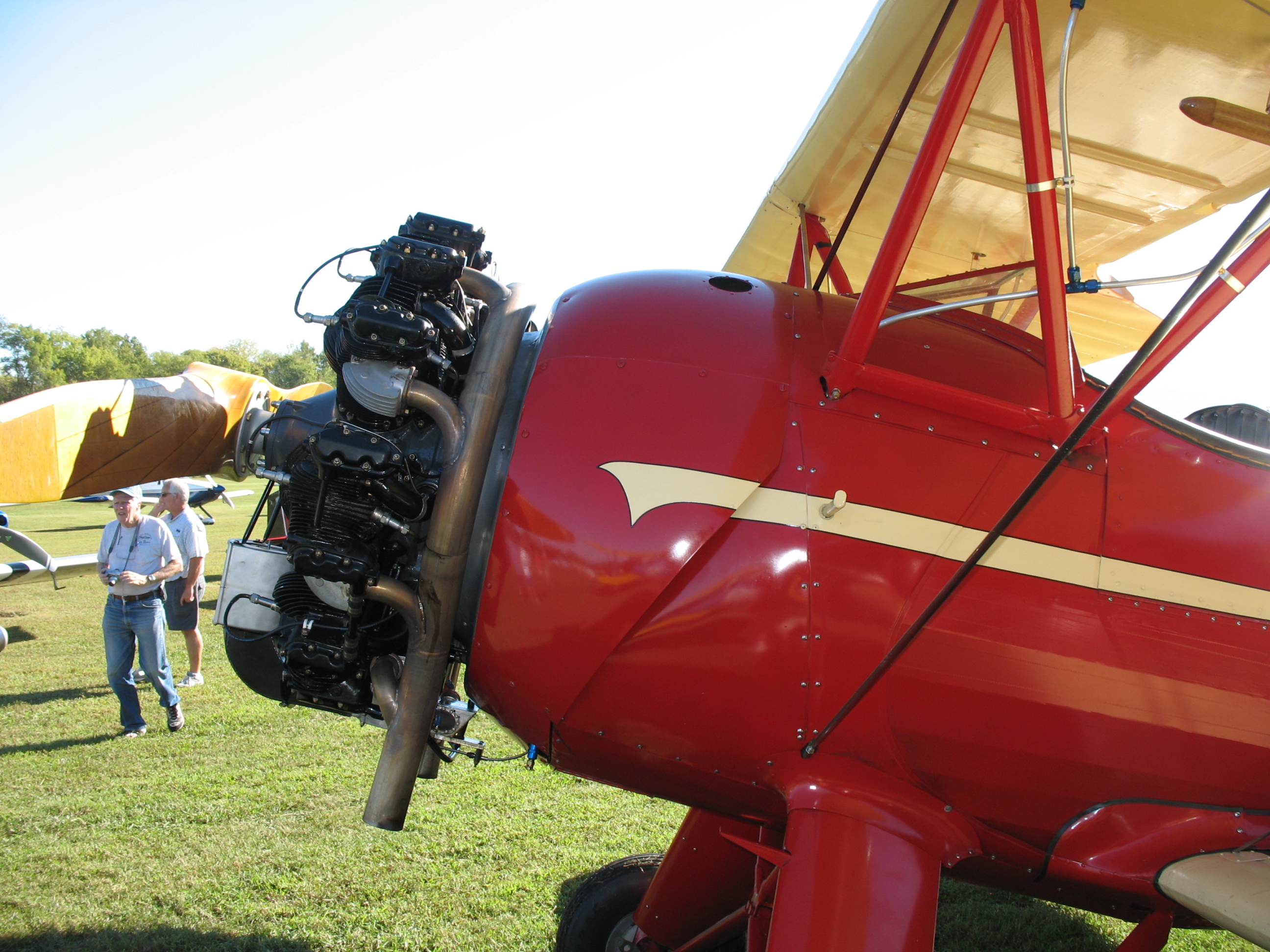
Red biplane side view
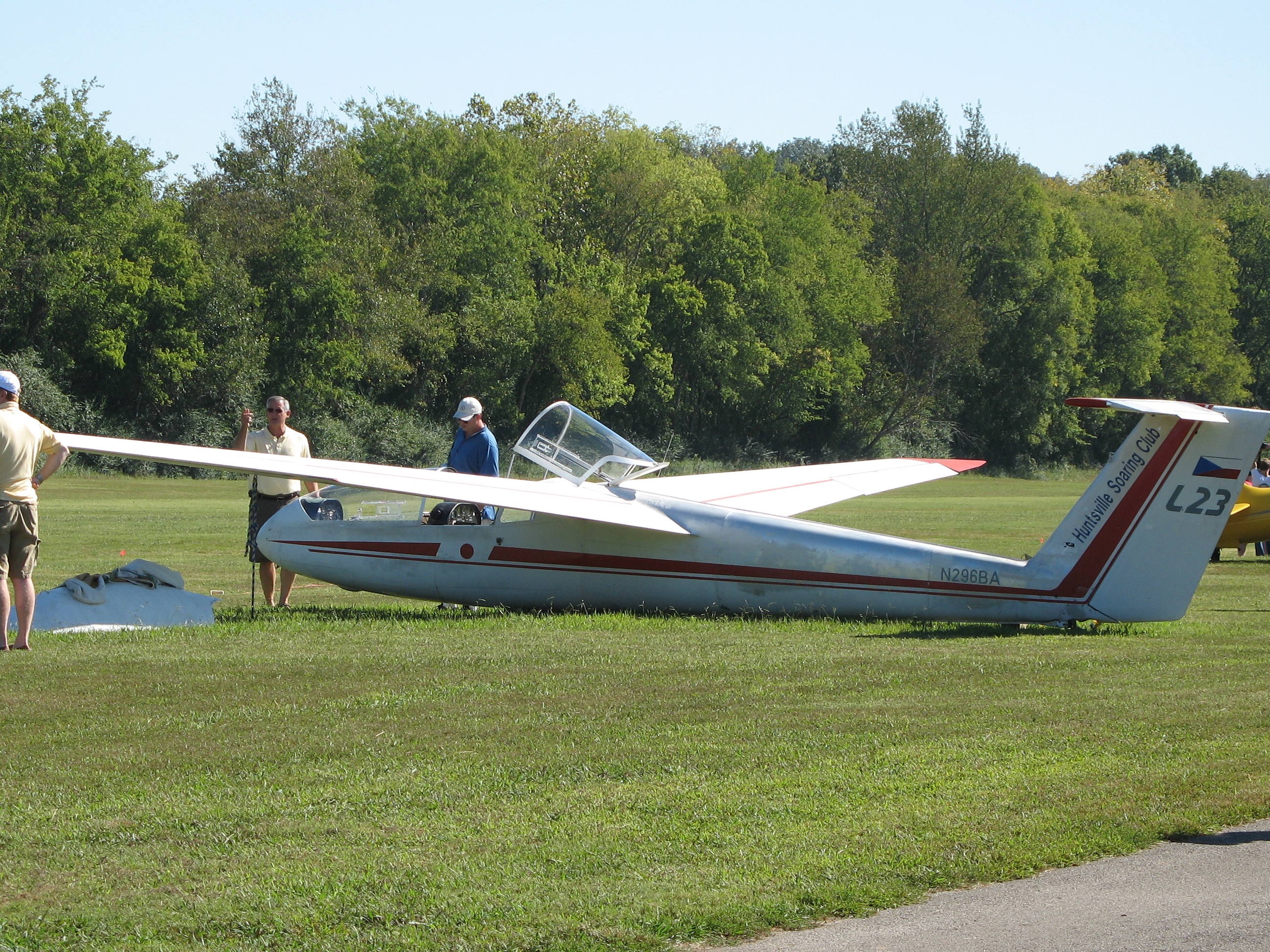
Decent view of glider

Blue biplane, side view
Red biplane front view
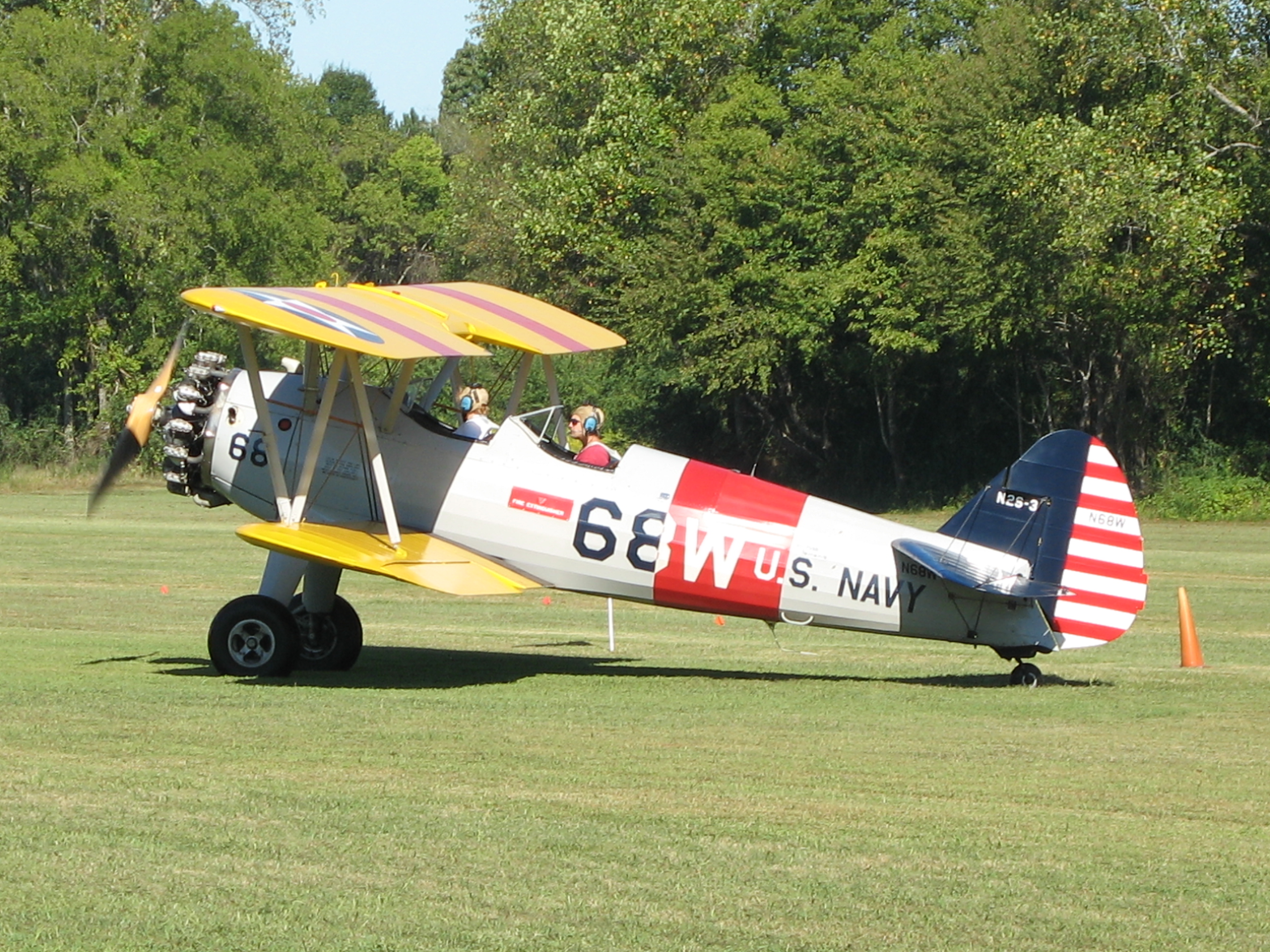
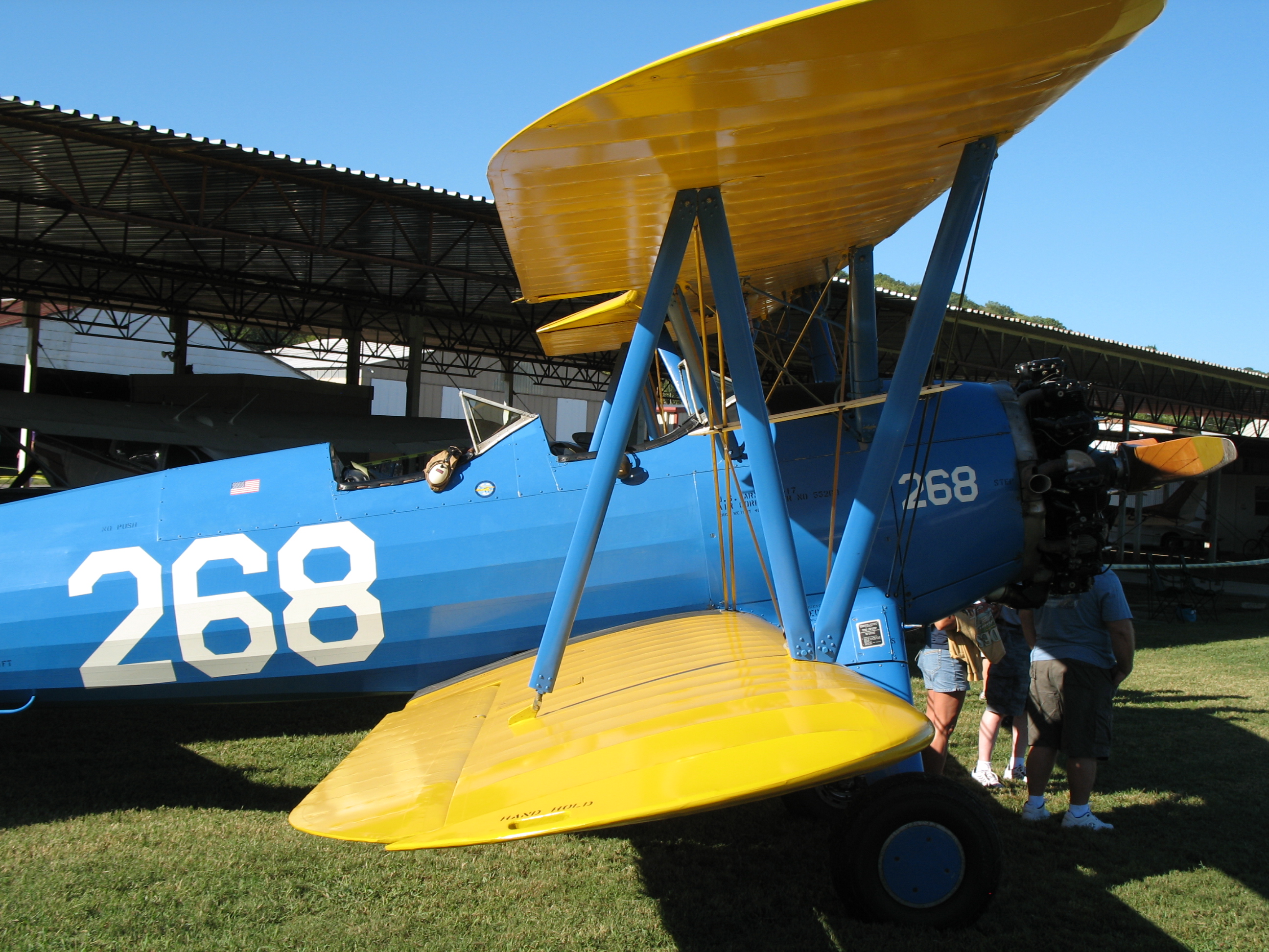
Stearman side view
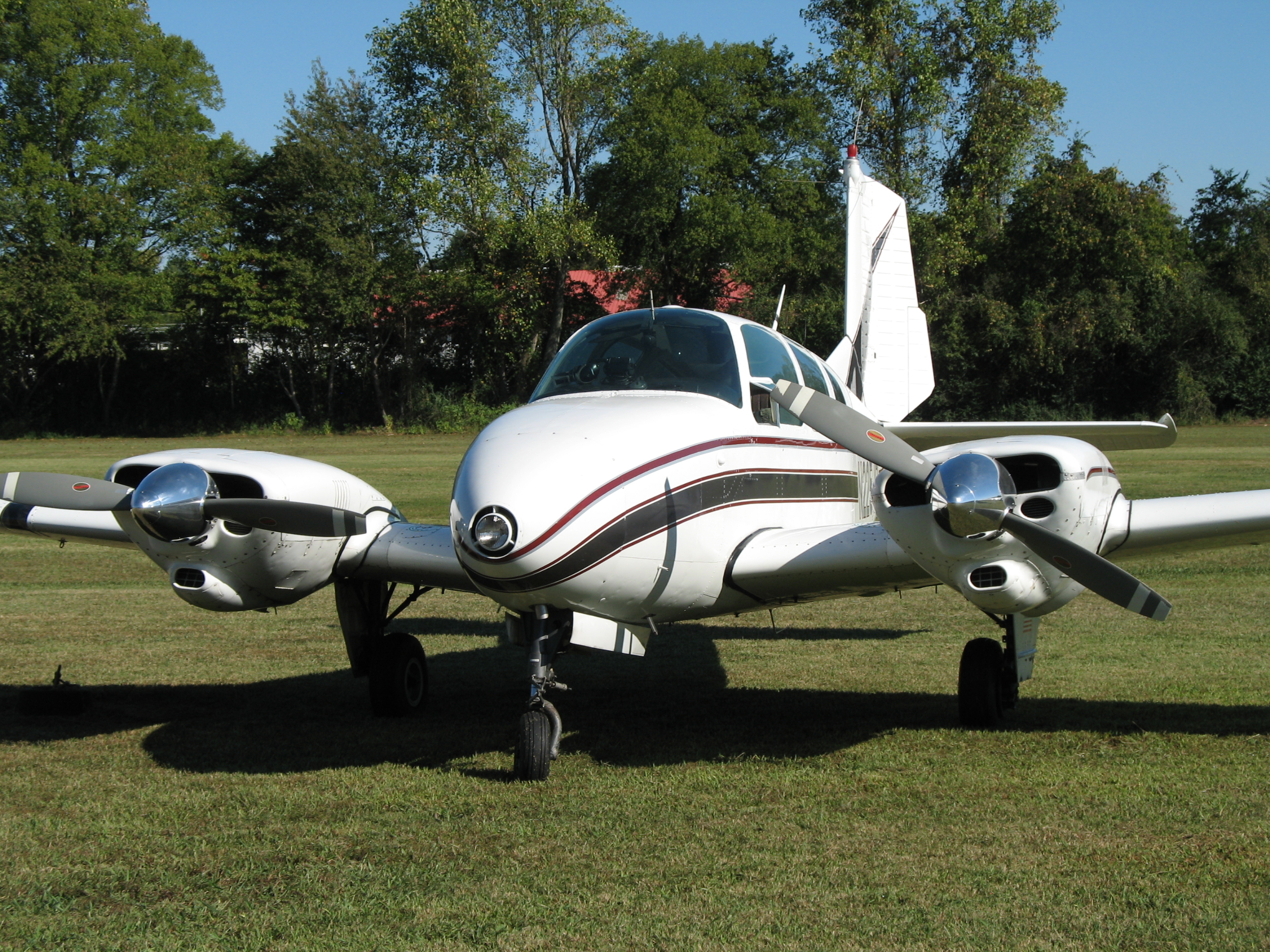
Front view of nice plane
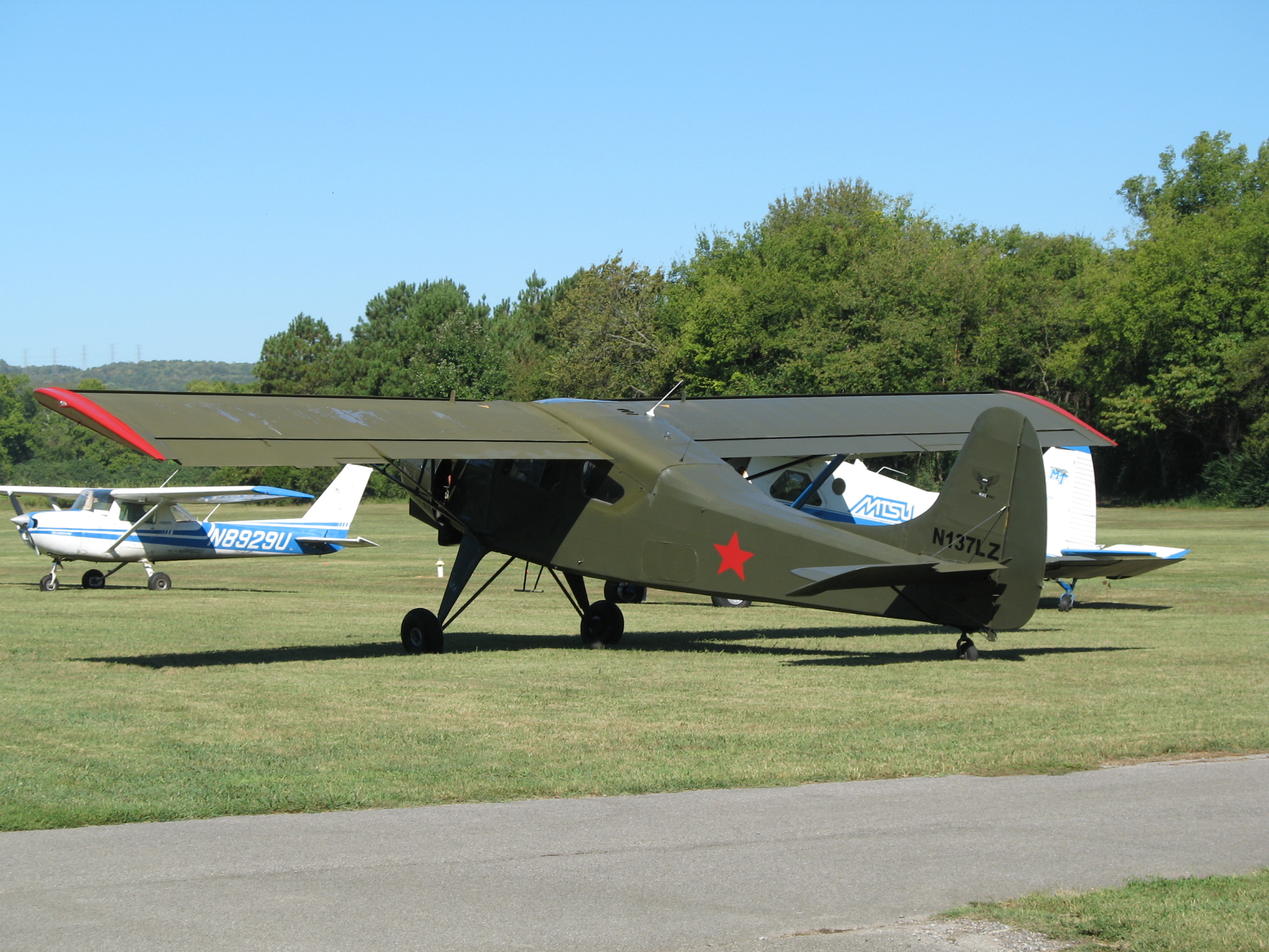
Green plane rear view
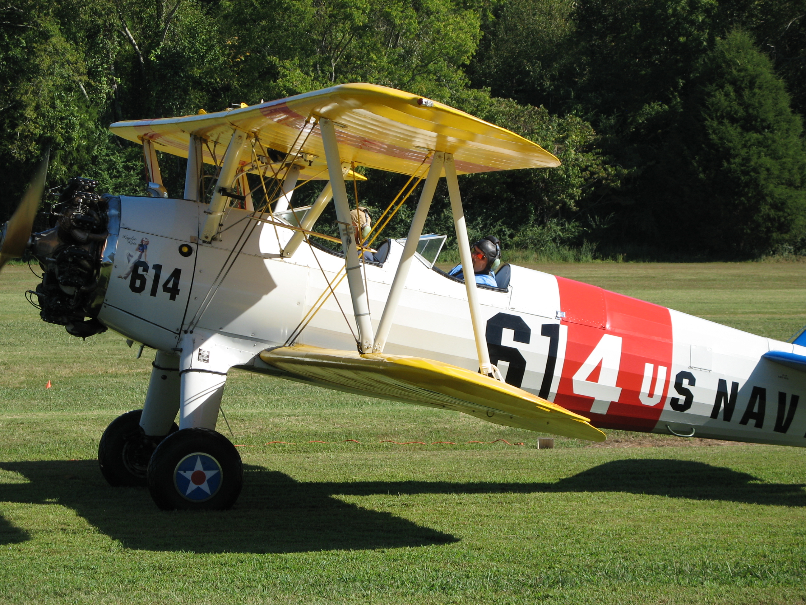
Stearman side view
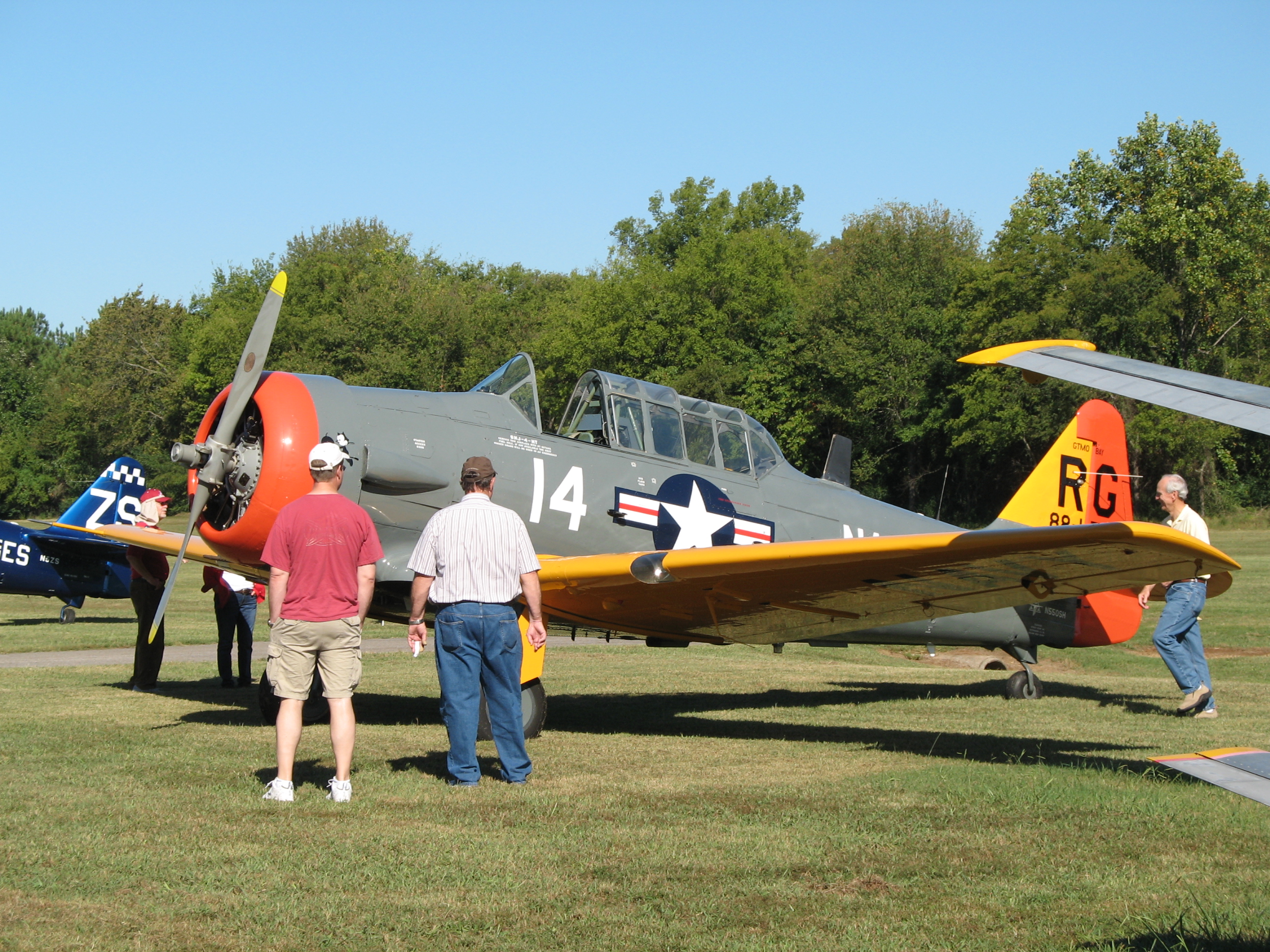
Texan side view

Stearman rear view
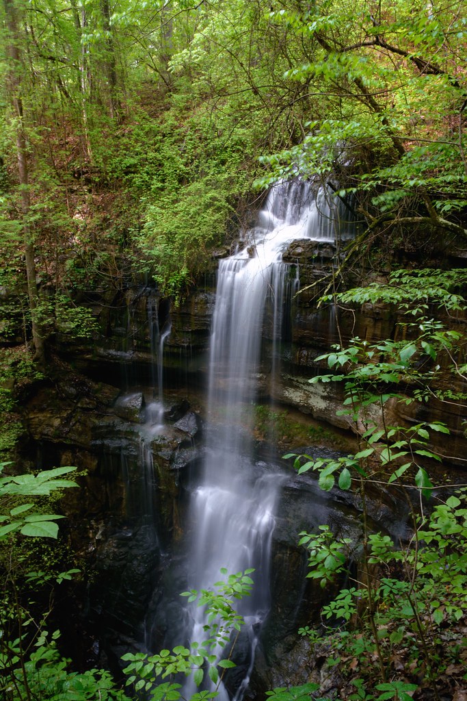
Lost Sink Falls
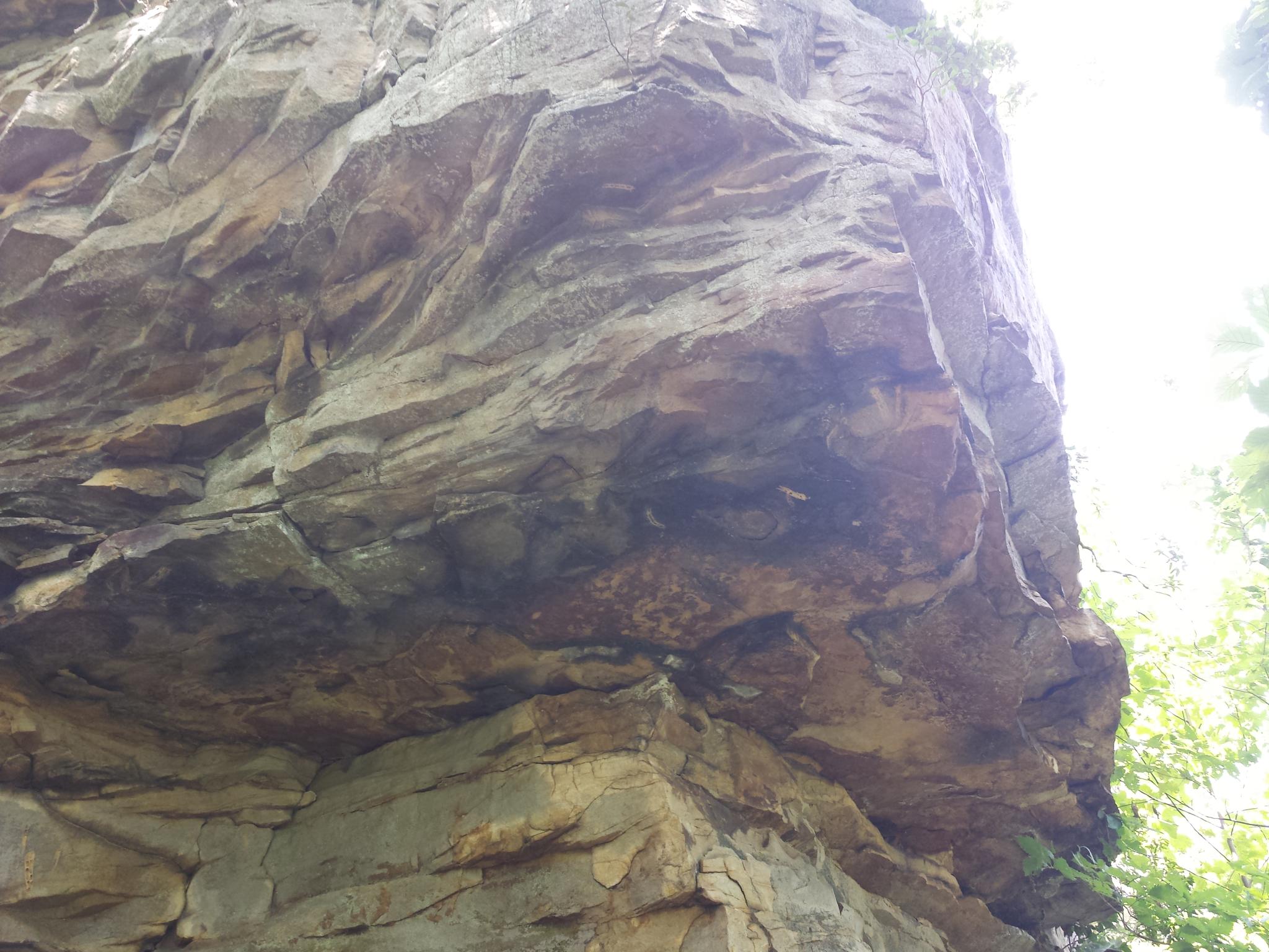
gurley-033
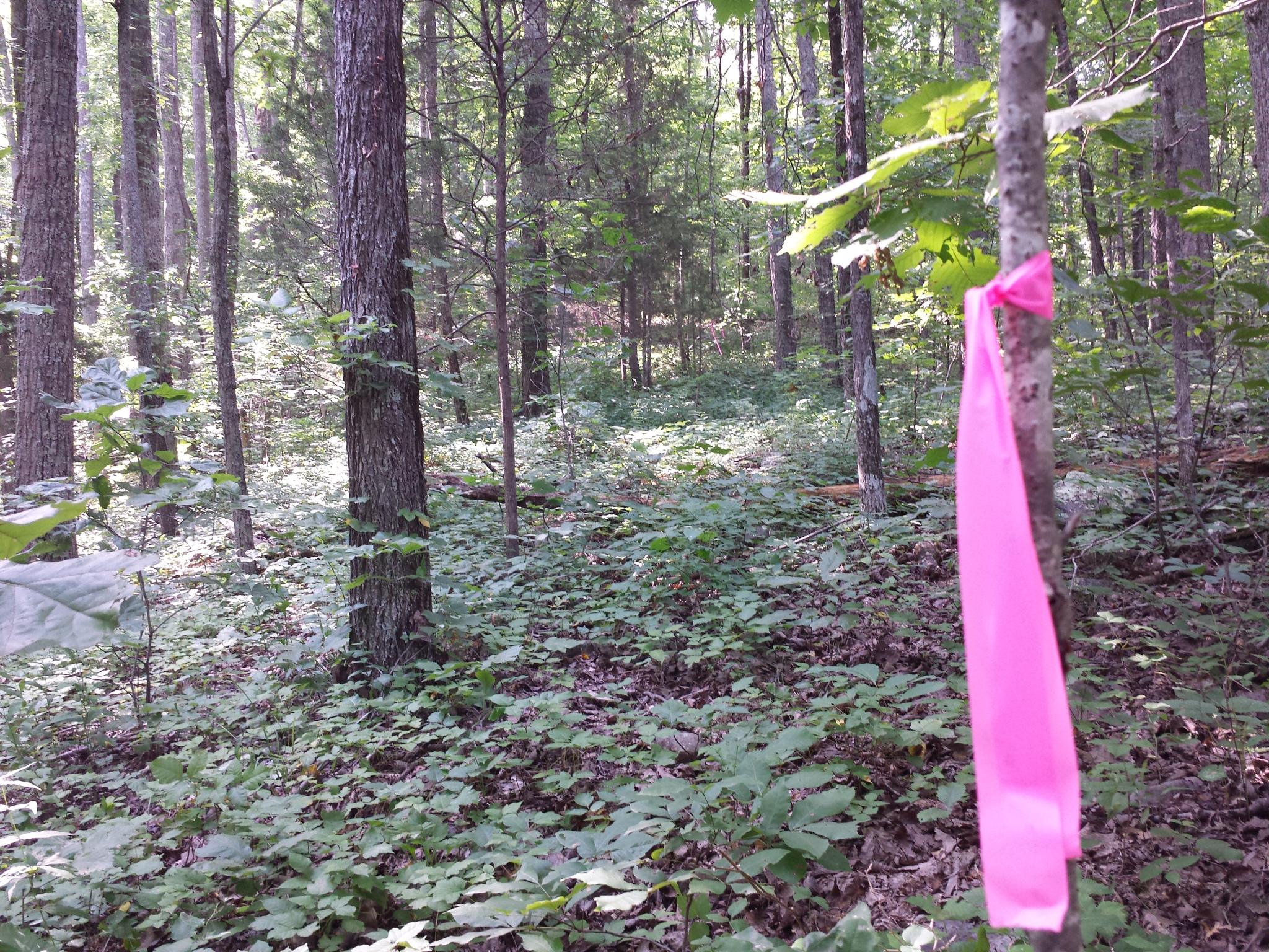
gurley-093

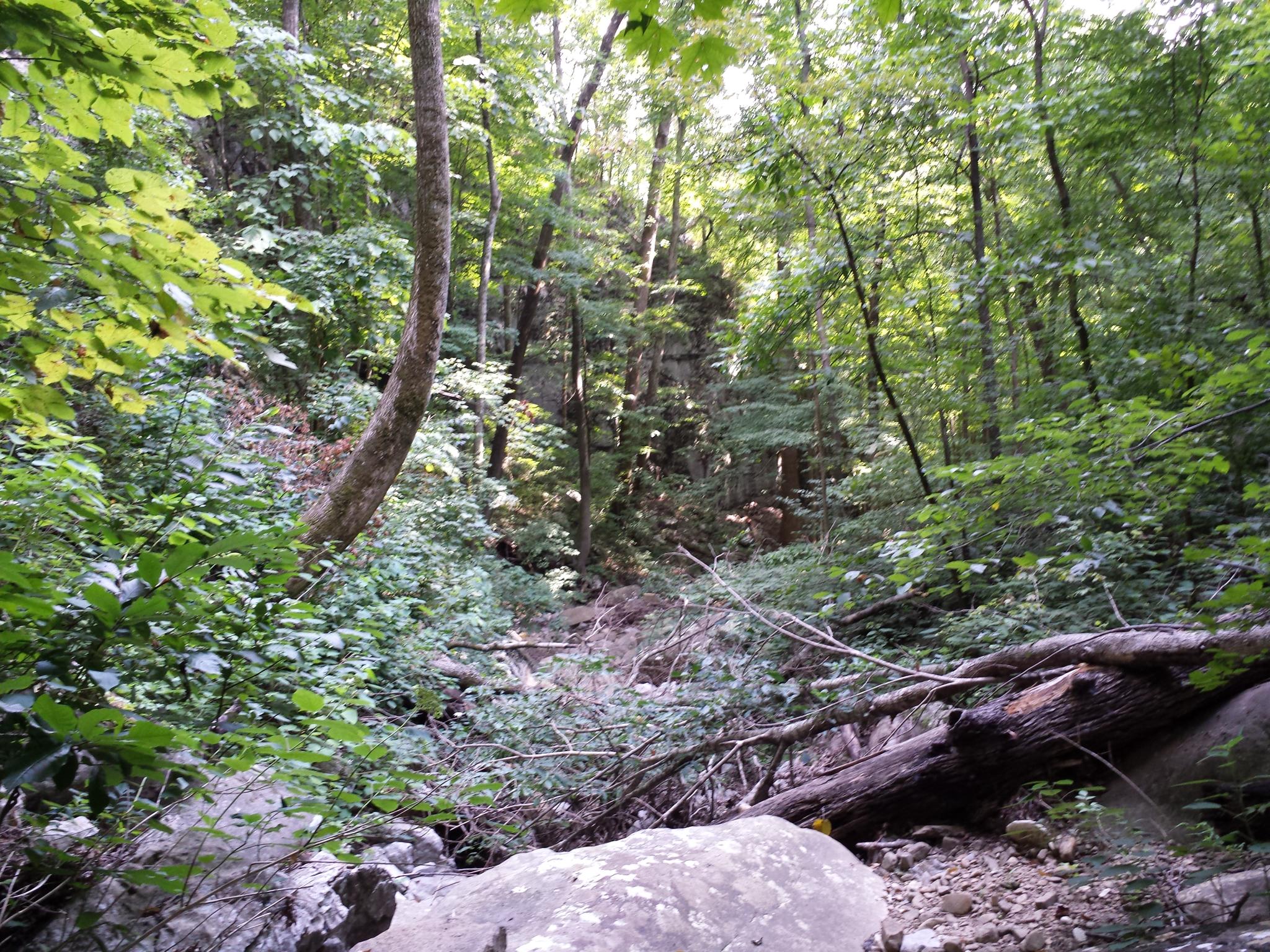
gurley-015

gurley-095
gurley-081
gurley-060
U.S. 72 Near Woodville, Alabama
to-004
U.S. 72 Near Huntsville, Alabama

gurley-062
gurley-055
gurley-075
gurley-083
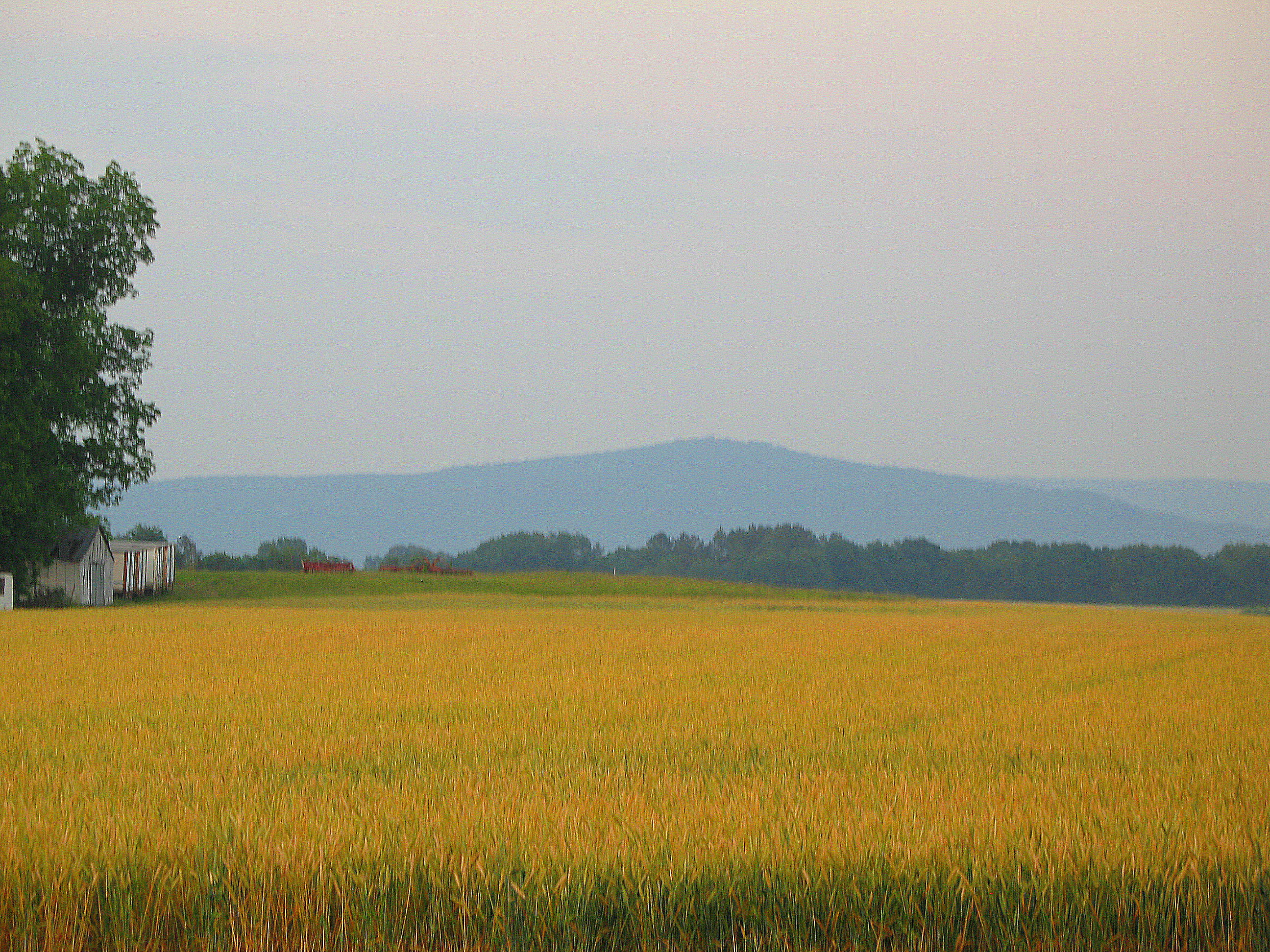
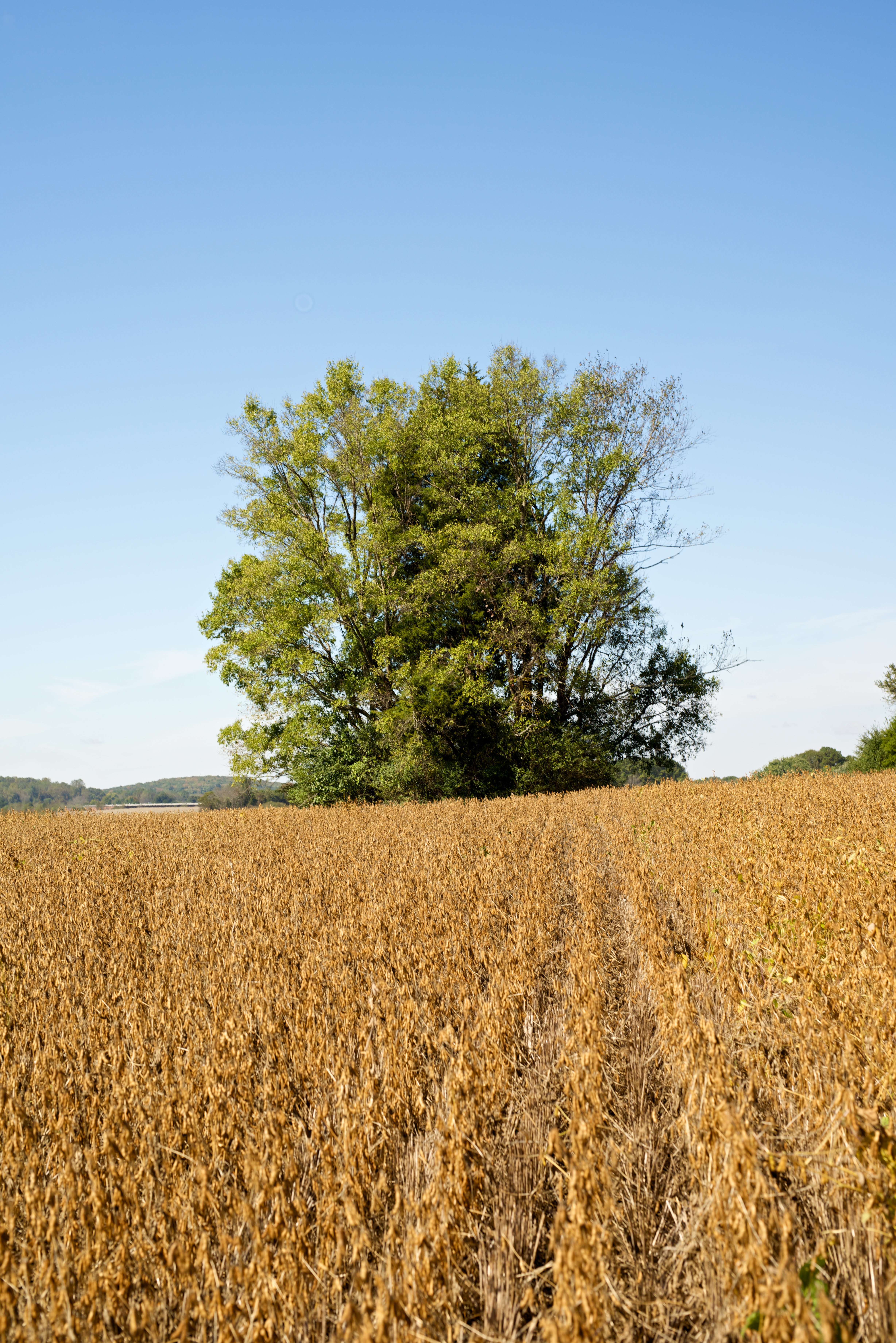
Yellow field

2015-07-05_04-06-34
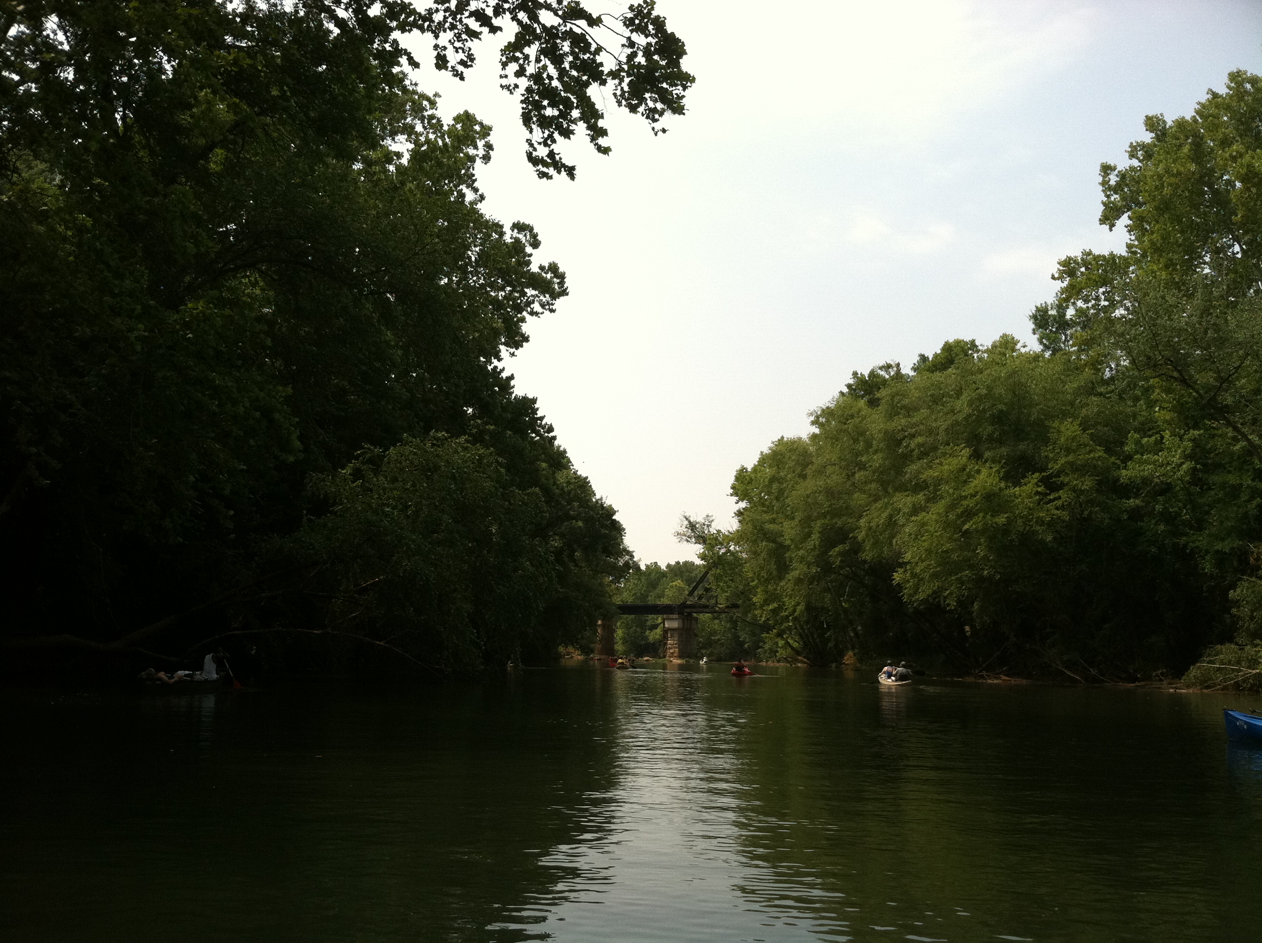
On the Other Side
Memorial Day traffic
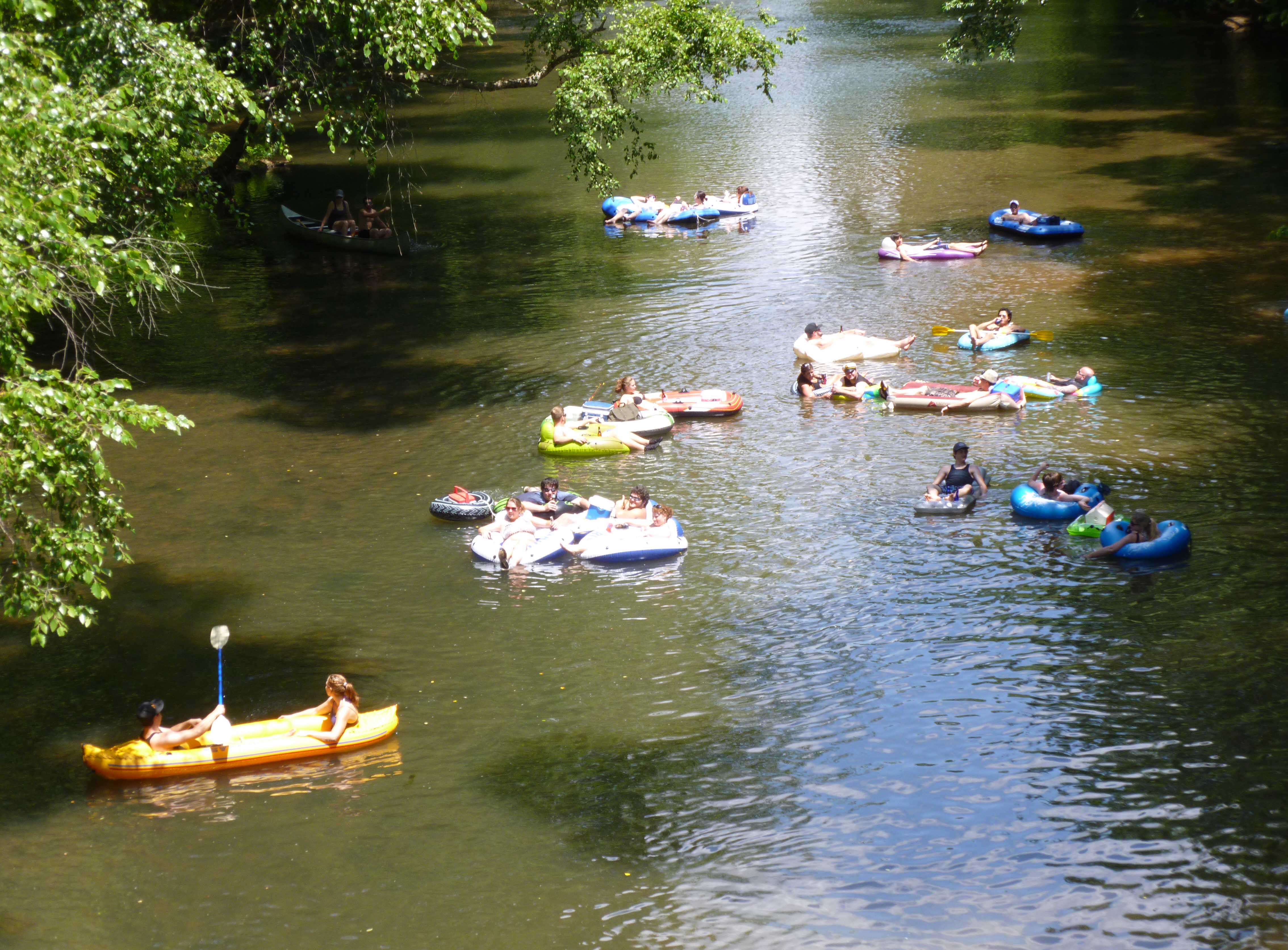
Flint River, Alabama

U.S. 72 Near Huntsville, Alabama
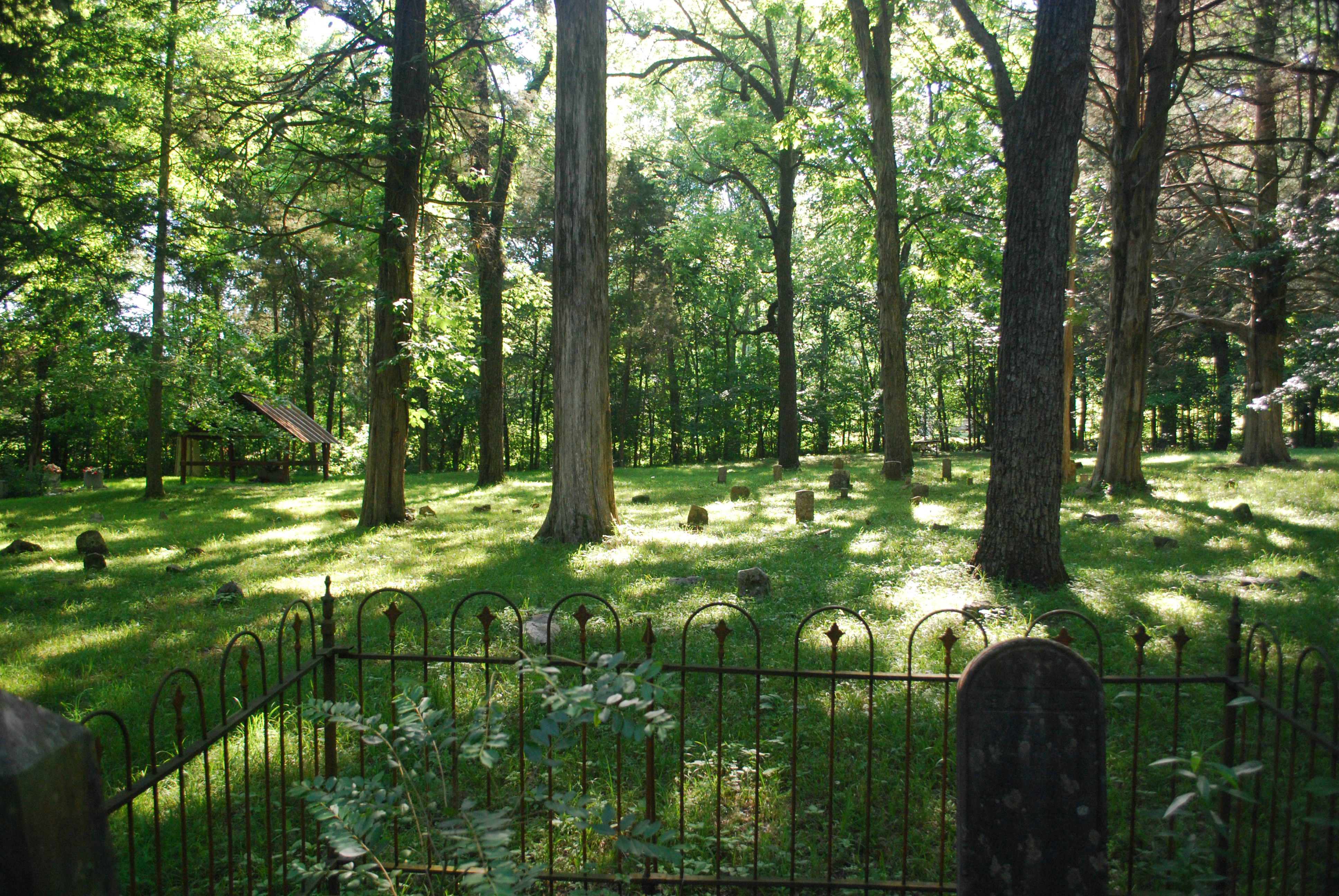
JehuElizabethGraves001 204
Topographic Map of AL-65, Paint Rock, AL, USA
Find elevation by address:

Places near AL-65, Paint Rock, AL, USA:
Paint Rock River
Trenton
Paint Rock
44 Knolton St
Gurley Pike
Gurley
Co Rd 8, Woodville, AL, USA
Co Rd 4, Hollytree, AL, USA
Hollytree
Pleasant Groves
105 Collins St
576 Shooting Star Tr
Mcmullen Cove Guard House
Ryland Pike, Huntsville, AL, USA
Brownsboro
Co Rd 15, Woodville, AL, USA
2805 Centerridge Rd Se
2707 Wenzel Cir Se
Moontown Airport-3m5
122 Delta Pine Dr
Recent Searches:
- Elevation of Corso Fratelli Cairoli, 35, Macerata MC, Italy
- Elevation of Tallevast Rd, Sarasota, FL, USA
- Elevation of 4th St E, Sonoma, CA, USA
- Elevation of Black Hollow Rd, Pennsdale, PA, USA
- Elevation of Oakland Ave, Williamsport, PA, USA
- Elevation of Pedrógão Grande, Portugal
- Elevation of Klee Dr, Martinsburg, WV, USA
- Elevation of Via Roma, Pieranica CR, Italy
- Elevation of Tavkvetili Mountain, Georgia
- Elevation of Hartfords Bluff Cir, Mt Pleasant, SC, USA