Elevation of Hollow Rd, Windber, PA, USA
Location: United States > Pennsylvania > Somerset County > Windber >
Longitude: -78.707215
Latitude: 40.2165
Elevation: 734m / 2408feet
Barometric Pressure: 93KPa
Elevation Map:
Satellite Map:
Related Photos:

Johnstown Flood National Memorial

View of The South Fork Dam

The Unger House

What remains of the South Fork Dam

Not Your Usual PRR Bridge Pt. 1
Martinsburg, PA

Close View of the failed South Fork Dam

Abandoned Locomotive -- Windber, Pennsylvania

Gently, now, down the hill...

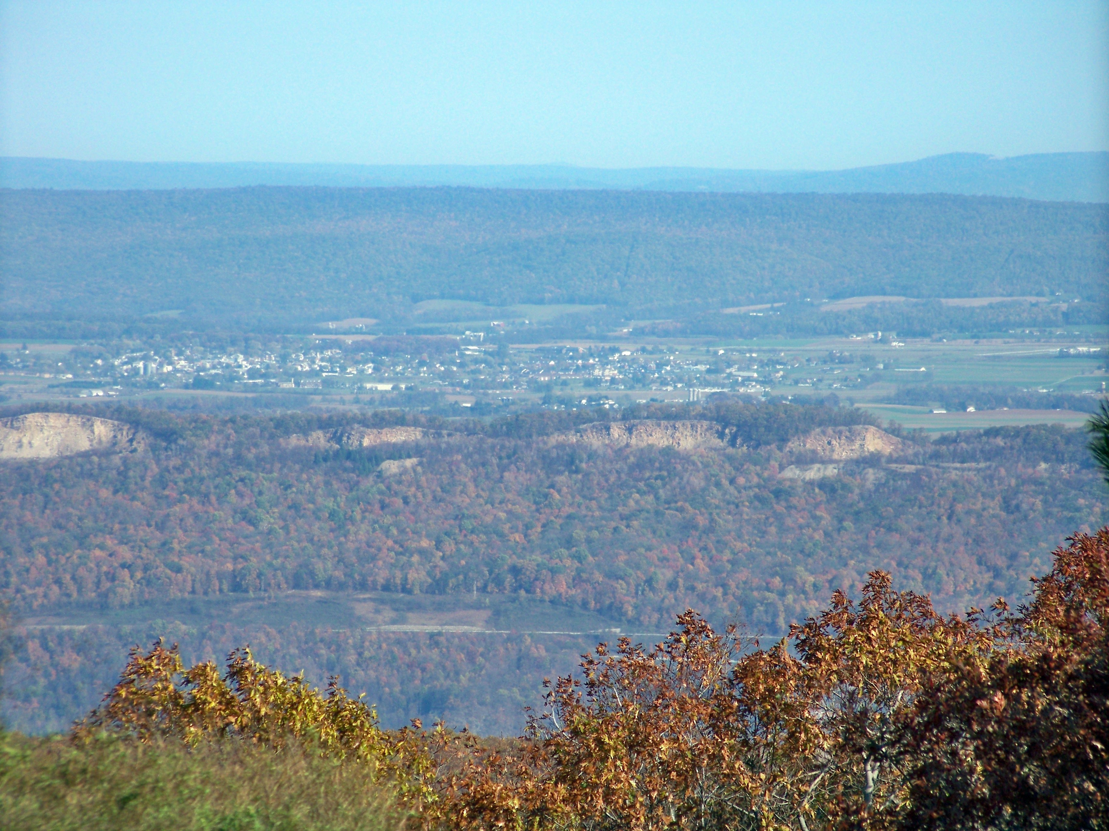
South Fork Valley

Mine 40 near Windber, PA

Hen-of-the-woods

Steam from the Conemaugh Generating Station rising behind Laurel Ridge

Somewhere Over Pennsylvania

Small waterfall, Beaverdam Creek

House and Barn -- Bedford County, Pennsylvania

Mountains disappear in falling snow in a scenic view from the second highest point in Pennsylvania at Blue Knob State Park, Pennsylvania

Bedford County, Pennsylvania
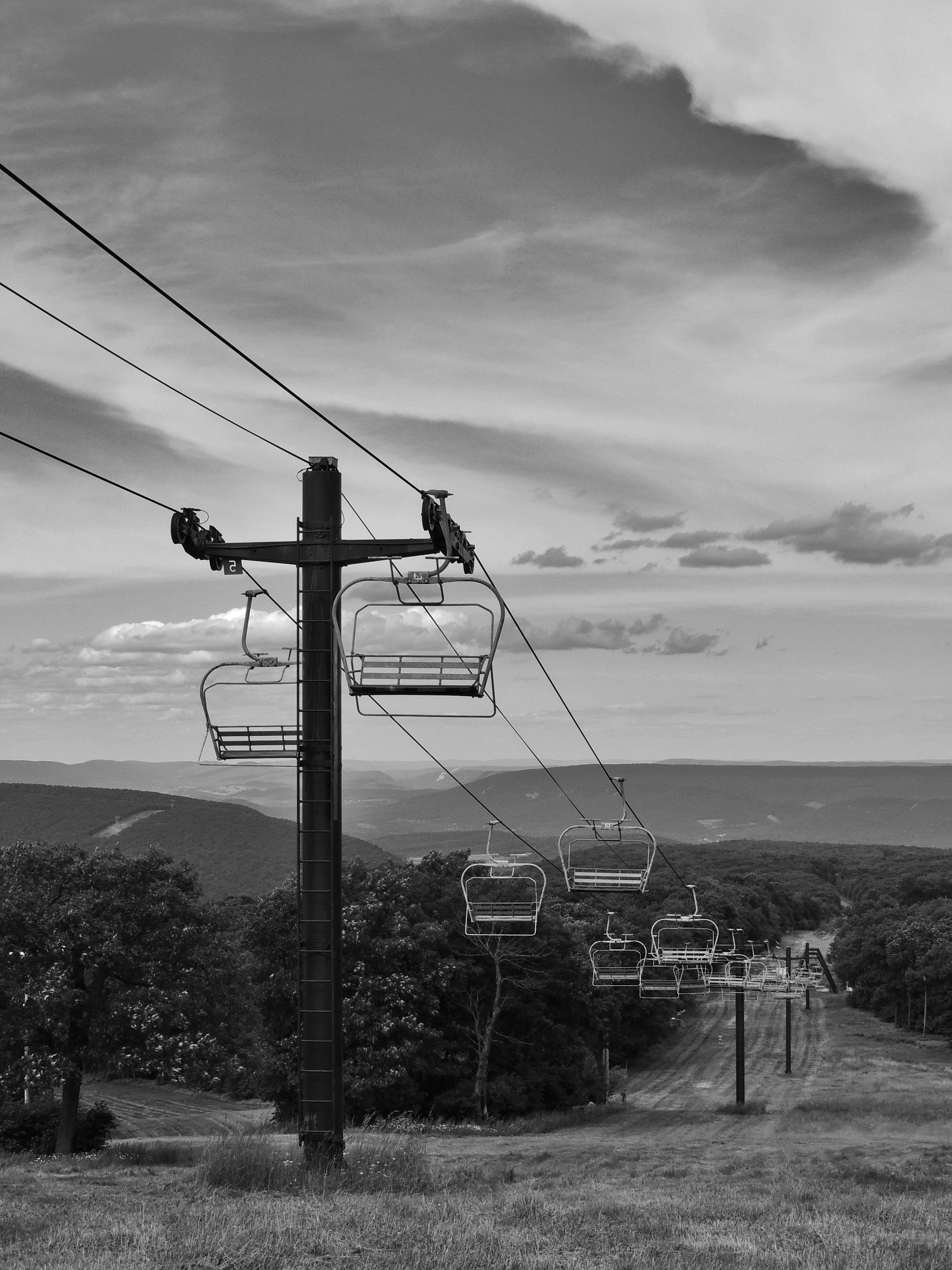
Blue Knob State Park

Orange fungus

Boundary sign and trail blazing

Paint Falls

Paint Falls

June fog
South Fork Dam

Paint Falls Side Waterfall

Fern country
Remains of the South Fork Dam

Johnstown Flood NM PA 1
Pivia Lookout on southwest

Through the fern country

Unger House and What was Once Lake Conemaugh, Johnstown Flood Memorial, South Fork, Pennsylvania, July 2017

water rolling down on Beaverdam Creek

Begin of Mountain View Trail

Mine No. 40

Blue Knob State Park

Johnstown Flood Dam
Topographic Map of Hollow Rd, Windber, PA, USA
Find elevation by address:

Places near Hollow Rd, Windber, PA, USA:
Ogle Township
Short Cut Road
Pleasantville
Beaverdale
Beaver Run Avenue
149 Mindish Rd
Summerhill Township
Napier Township
1214 Washington Ave
Pavia Township
New Paris
Smith Gap Lane
Blue Knob State Park
3083 Frankstown Rd
Springhill Rd, Portage, PA, USA
Blue Knob
Portage Township
Spring Hill
119 Allen St
388 W Ridge Rd
Recent Searches:
- Elevation of Corso Fratelli Cairoli, 35, Macerata MC, Italy
- Elevation of Tallevast Rd, Sarasota, FL, USA
- Elevation of 4th St E, Sonoma, CA, USA
- Elevation of Black Hollow Rd, Pennsdale, PA, USA
- Elevation of Oakland Ave, Williamsport, PA, USA
- Elevation of Pedrógão Grande, Portugal
- Elevation of Klee Dr, Martinsburg, WV, USA
- Elevation of Via Roma, Pieranica CR, Italy
- Elevation of Tavkvetili Mountain, Georgia
- Elevation of Hartfords Bluff Cir, Mt Pleasant, SC, USA