Elevation of Blue Knob State Park, Park Rd, Imler, PA, USA
Location: United States > Pennsylvania > Bedford County > Pavia Township >
Longitude: -78.589762
Latitude: 40.2890611
Elevation: 759m / 2490feet
Barometric Pressure: 93KPa
Elevation Map:
Satellite Map:
Related Photos:

Westbound Norfolk Southern 4044 (GE AC44C6M) leading a string of garbage containers at Cassandra Overlook @ Cambria County, PA

It's Lit at Lilly

Somewhere Over Pennsylvania

Monochrome Monday - Pennsy edition

Small waterfall, Beaverdam Creek

At Cassandra, the pusher set of a freight train is leaving the view to push over the Horseshoe Curve.

Feeling Much Better Now

water rolling down on Beaverdam Creek

Snook's Bridge -- Bedford County, Pennsylvania

Snook's Bridge -- Bedford County, Pennsylvania

Norfolk Southern Pittsburgh Line at Cassandra Overlook

Basic Colors

NS 38Q at Portage, Pennsylvania

Roster Shot: NS [NKP] 8100

The Not-so-early-bird...just Barely Gets the Worm

Mountains disappear in falling snow in a scenic view from the second highest point in Pennsylvania at Blue Knob State Park, Pennsylvania
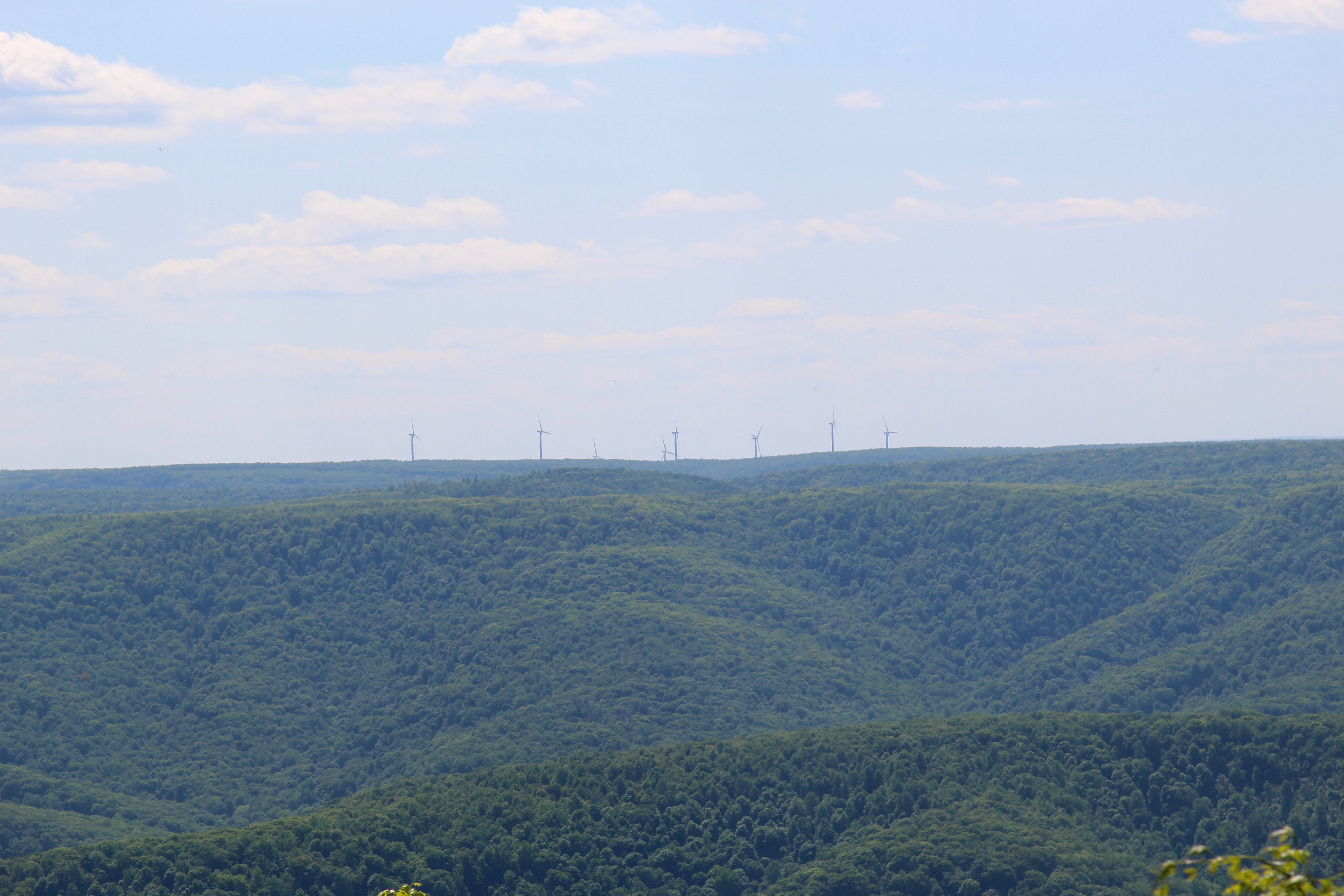
Blue Knob State Park

Viewed from a local road overpass , Amtrak is westbound near Cassandra.

Orange fungus
Martinsburg, PA

Boundary sign and trail blazing

The Overlook
NS 12G Lilly, Pa
Amtrak 89

Bowser Covered Bridge spanning Bob's Creek, Osterburg Pennsylvania

Bowser Covered Bridge

Fern country

Snooks Covered Bridge
Pivia Lookout on southwest

Through the fern country

Begin of Mountain View Trail

Dr. Knisely Covered Bridge in Bedford Co. PA

Mountain View Trail

Dr. Knisley Covered Bridge

Dr. Knisley Covered Bridge

Snooks Covered Bridge
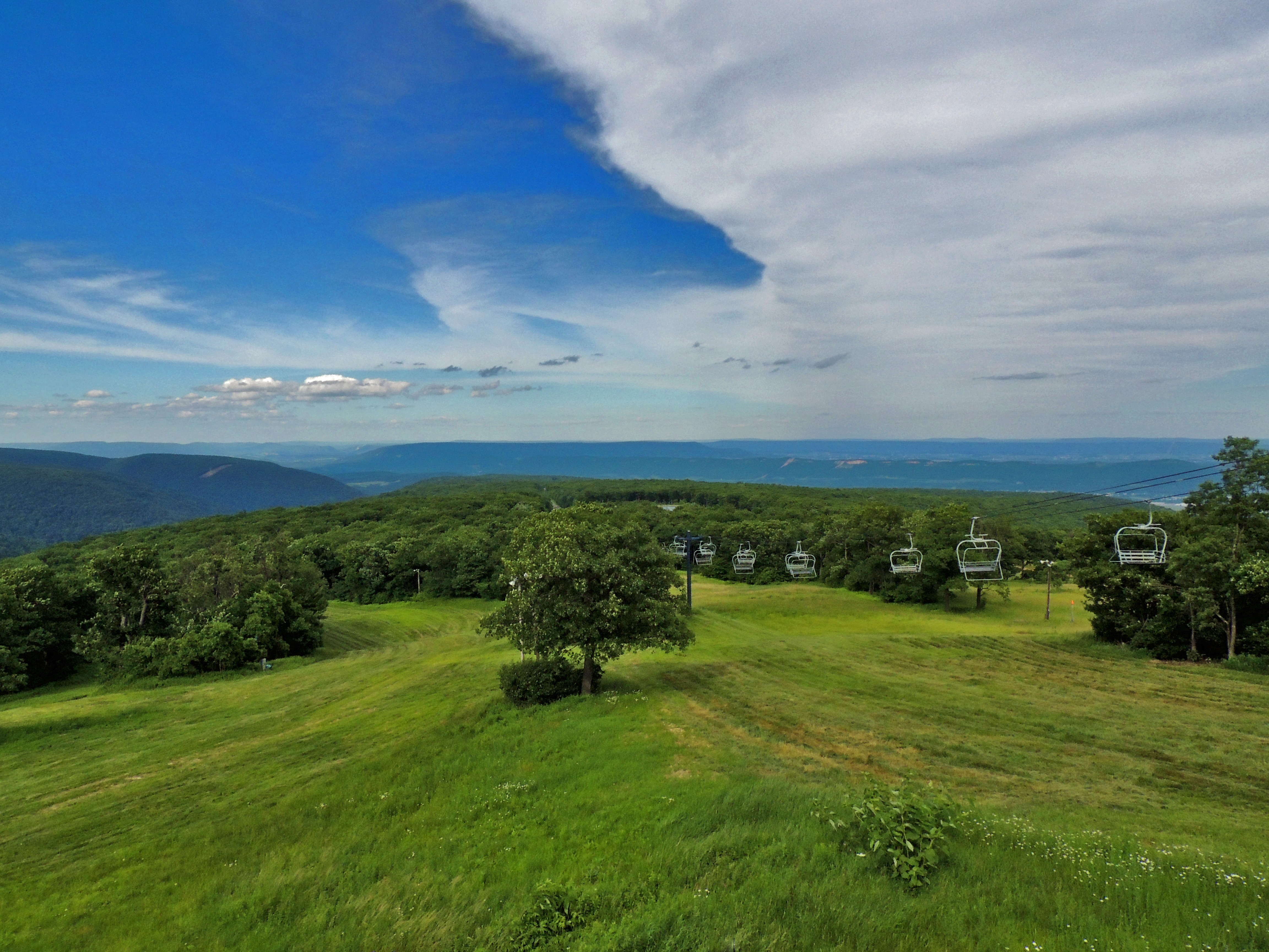
Blue Knob State Park

Dr. Knisley Covered Bridge
Topographic Map of Blue Knob State Park, Park Rd, Imler, PA, USA
Find elevation by address:

Places near Blue Knob State Park, Park Rd, Imler, PA, USA:
Pavia Township
Blue Knob
969 Diamond Ln
Greenfield Township
Portage Township
3083 Frankstown Rd
Springhill Rd, Portage, PA, USA
Summerhill Township
Beaverdale
119 Allen St
Spring Hill
1214 Washington Ave
Polecat Hollow Road
606 Sherman St
Portage
922 Gillespie Ave
Beaver Run Avenue
1801 Rush Dr
Deer Run Lane
Puzzletown Rd, Duncansville, PA, USA
Recent Searches:
- Elevation of Corso Fratelli Cairoli, 35, Macerata MC, Italy
- Elevation of Tallevast Rd, Sarasota, FL, USA
- Elevation of 4th St E, Sonoma, CA, USA
- Elevation of Black Hollow Rd, Pennsdale, PA, USA
- Elevation of Oakland Ave, Williamsport, PA, USA
- Elevation of Pedrógão Grande, Portugal
- Elevation of Klee Dr, Martinsburg, WV, USA
- Elevation of Via Roma, Pieranica CR, Italy
- Elevation of Tavkvetili Mountain, Georgia
- Elevation of Hartfords Bluff Cir, Mt Pleasant, SC, USA