Elevation of Hillview, IL, USA
Location: United States > Illinois > Greene County > Patterson Township >
Longitude: -90.541235
Latitude: 39.4506034
Elevation: 133m / 436feet
Barometric Pressure: 100KPa
Elevation Map:
Satellite Map:
Related Photos:

What Could Have Been
Double decker
Off-season manger
Something to show you the way
The Goldenrod

356~365~I Hope This Stuff Works!
Surprise!
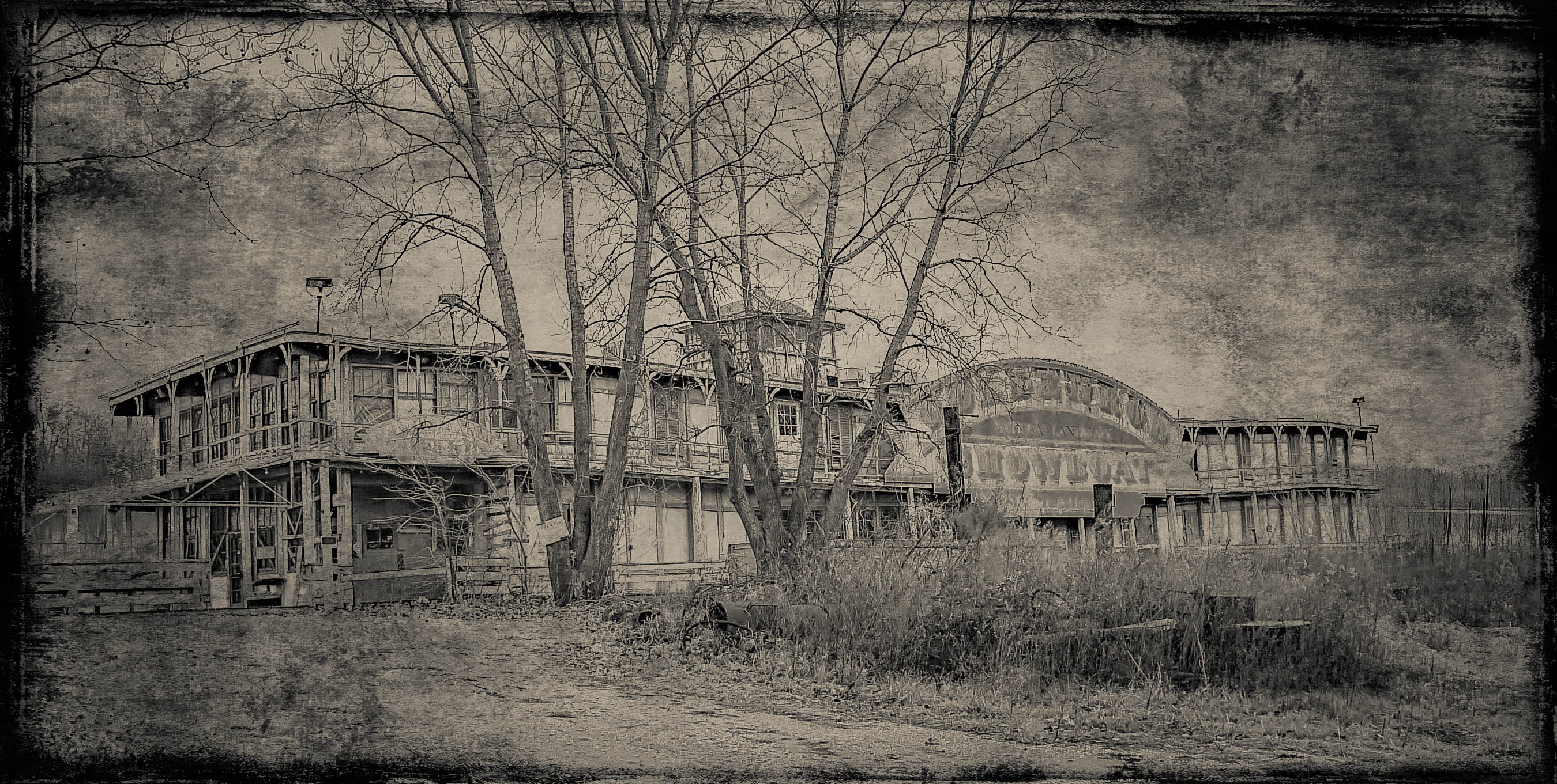
Goldenrod Showboat_Textured
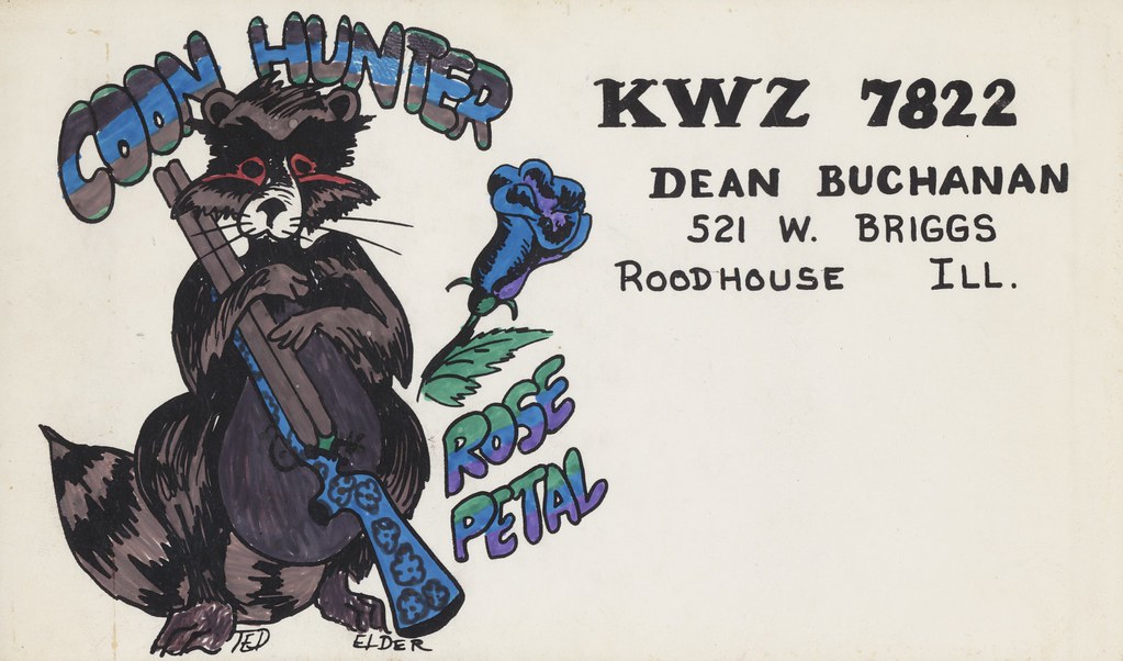
Telder: Coon Hunter & Rose Petal - Roodhouse, Illinois
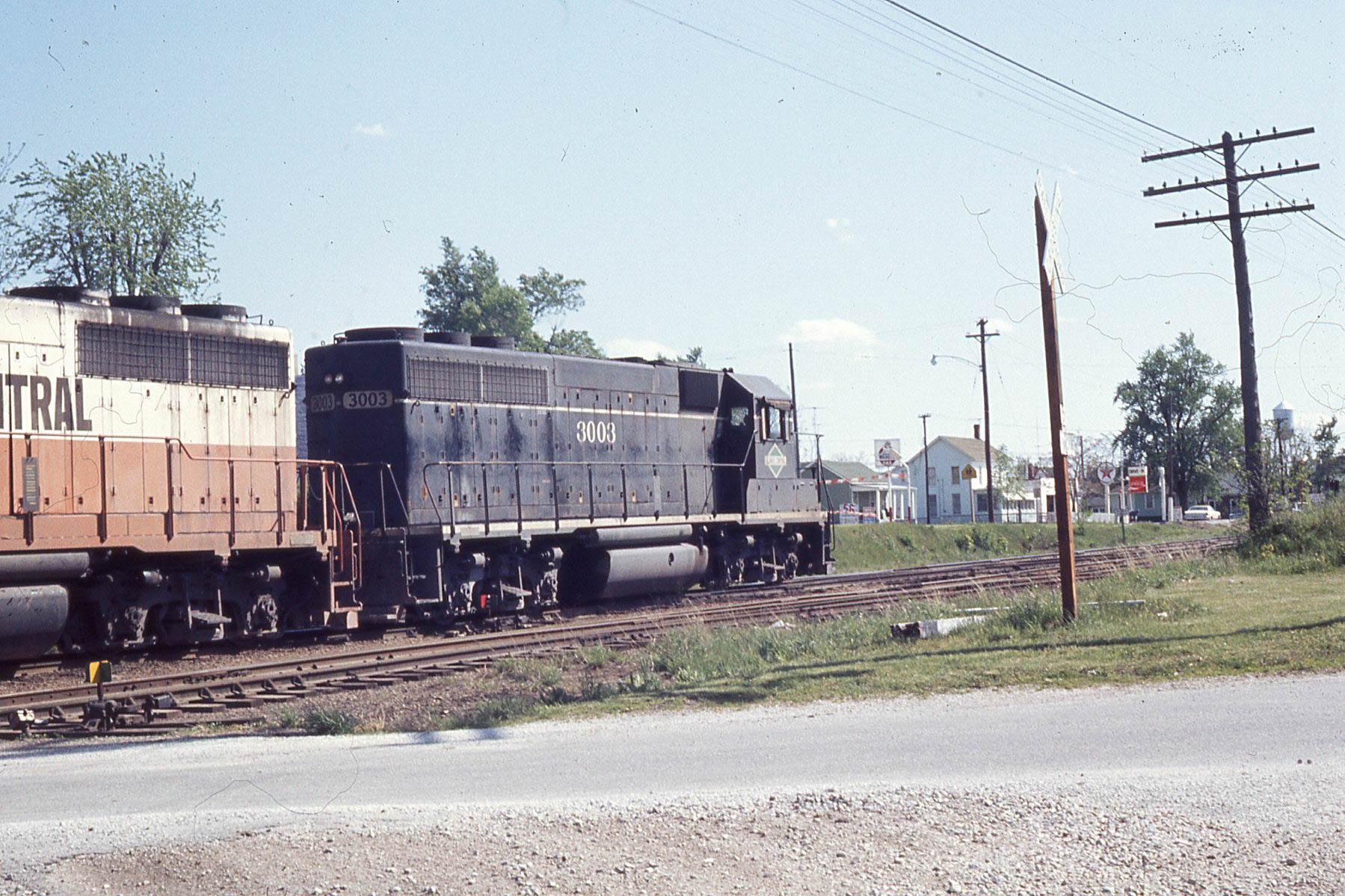
Illinois Central GP-40 #3003 at Roodhouse IL on the old GM&O "Jack Line" 4/25/76

Illinois River
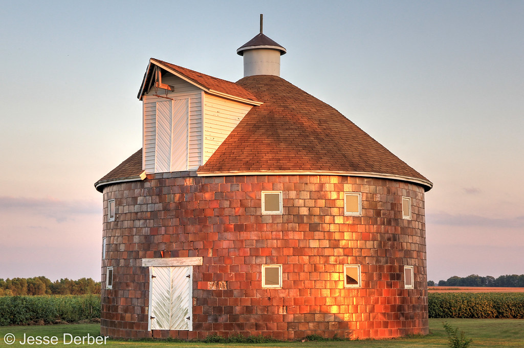
Last Light on the Virginia Tillery Round Barn

James John Eldrid House Bathed in Moonlight
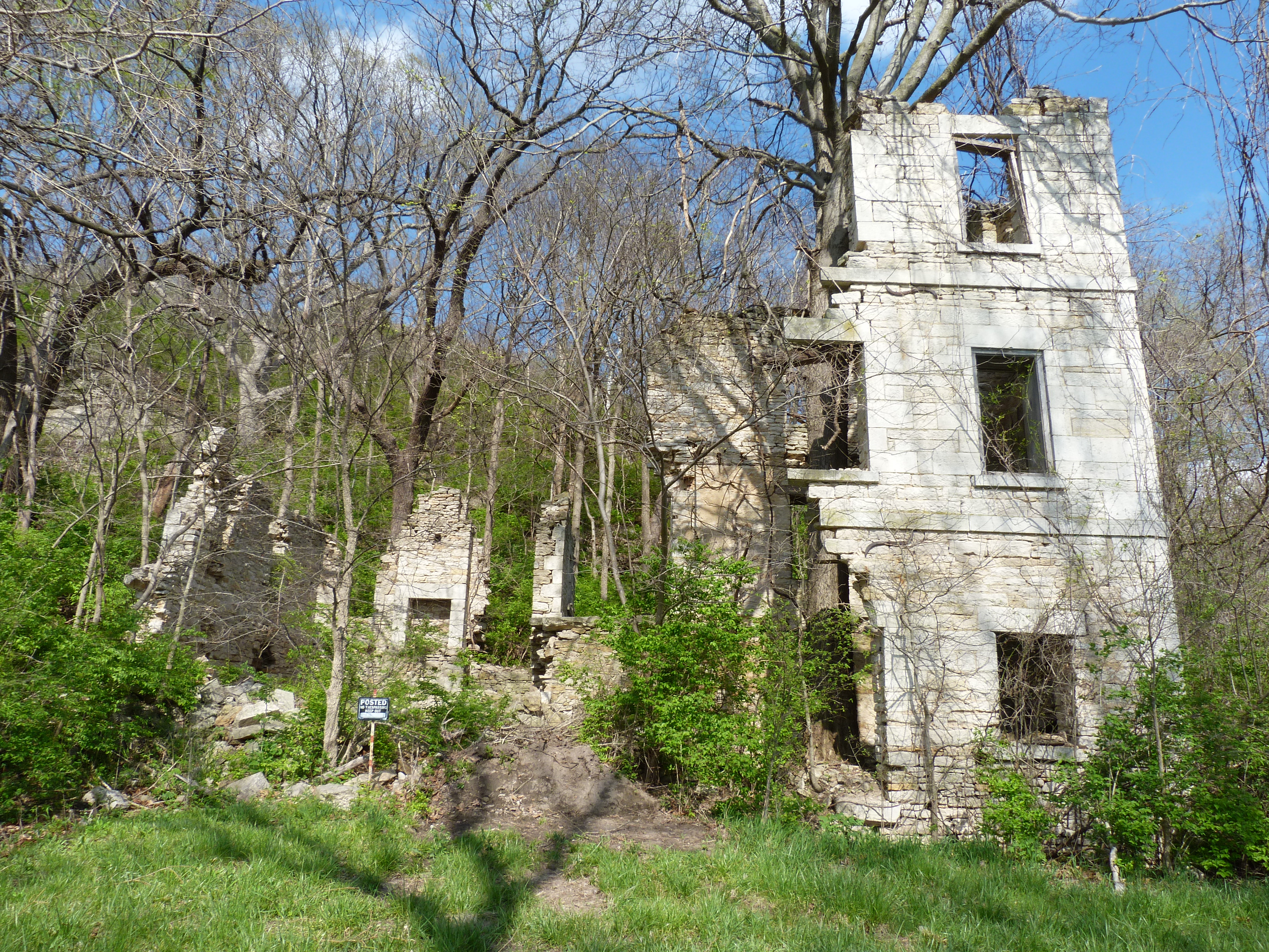
Haypress Mansion Revisited
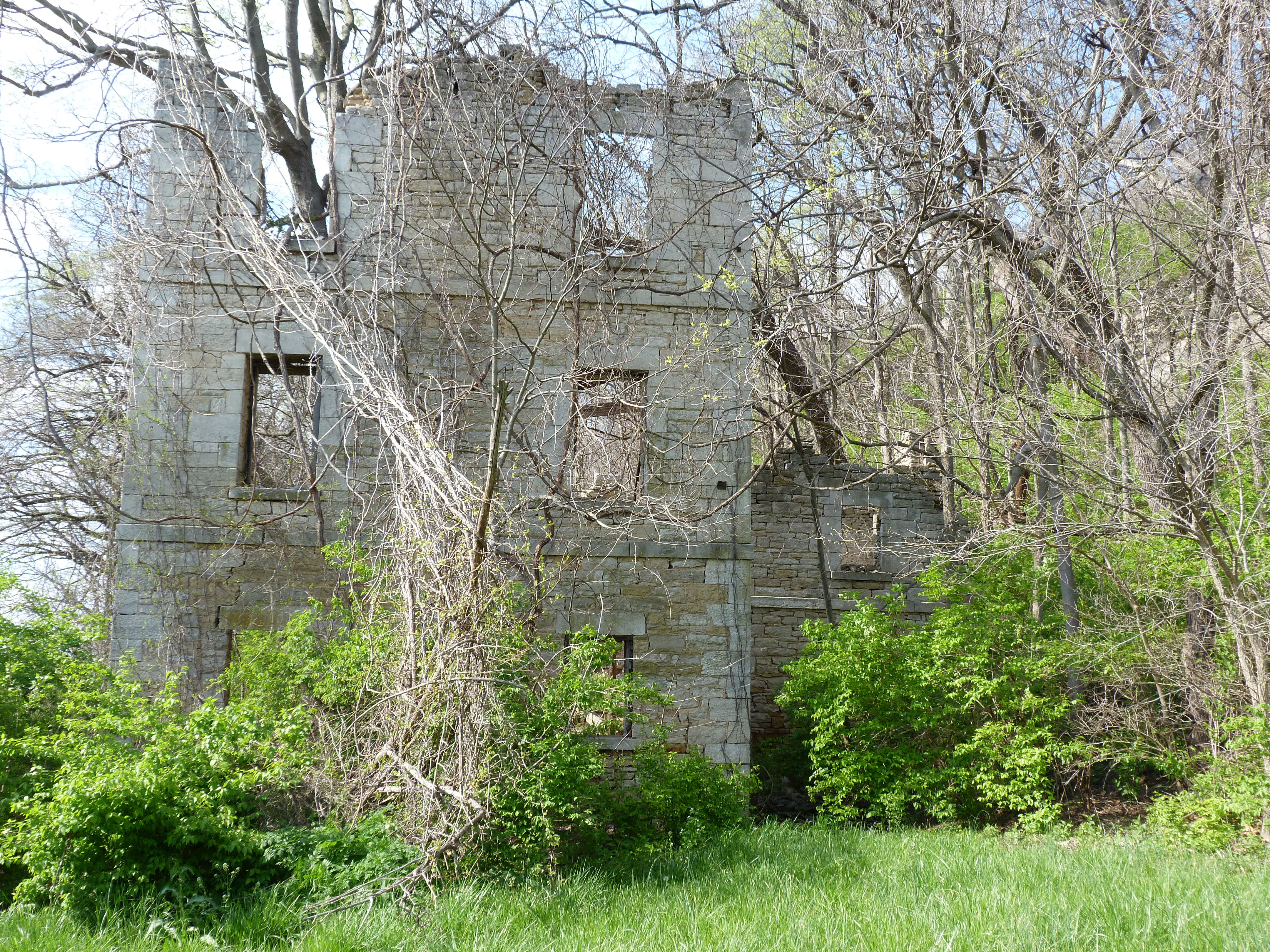
Haypress Revisited
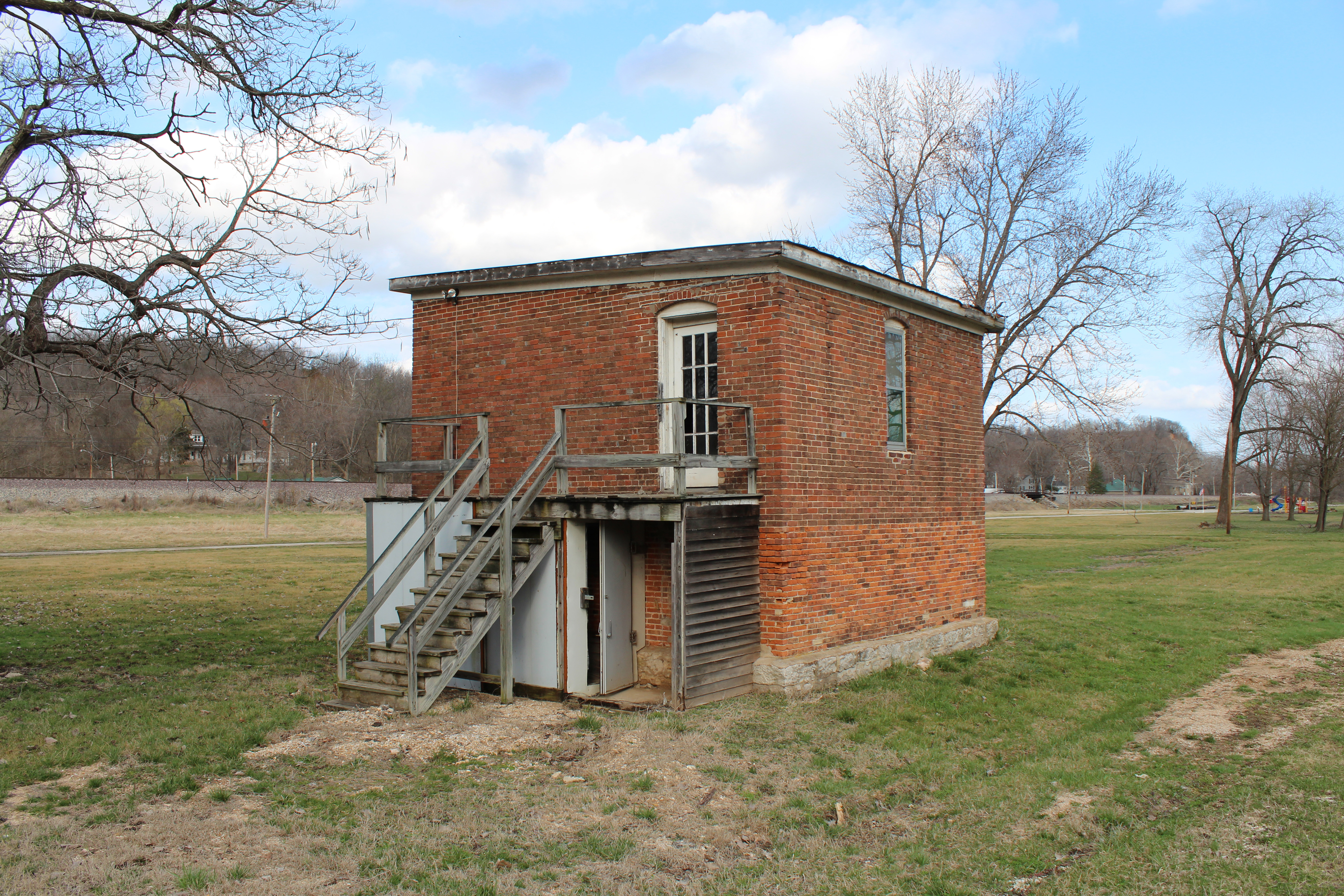
Mystery building
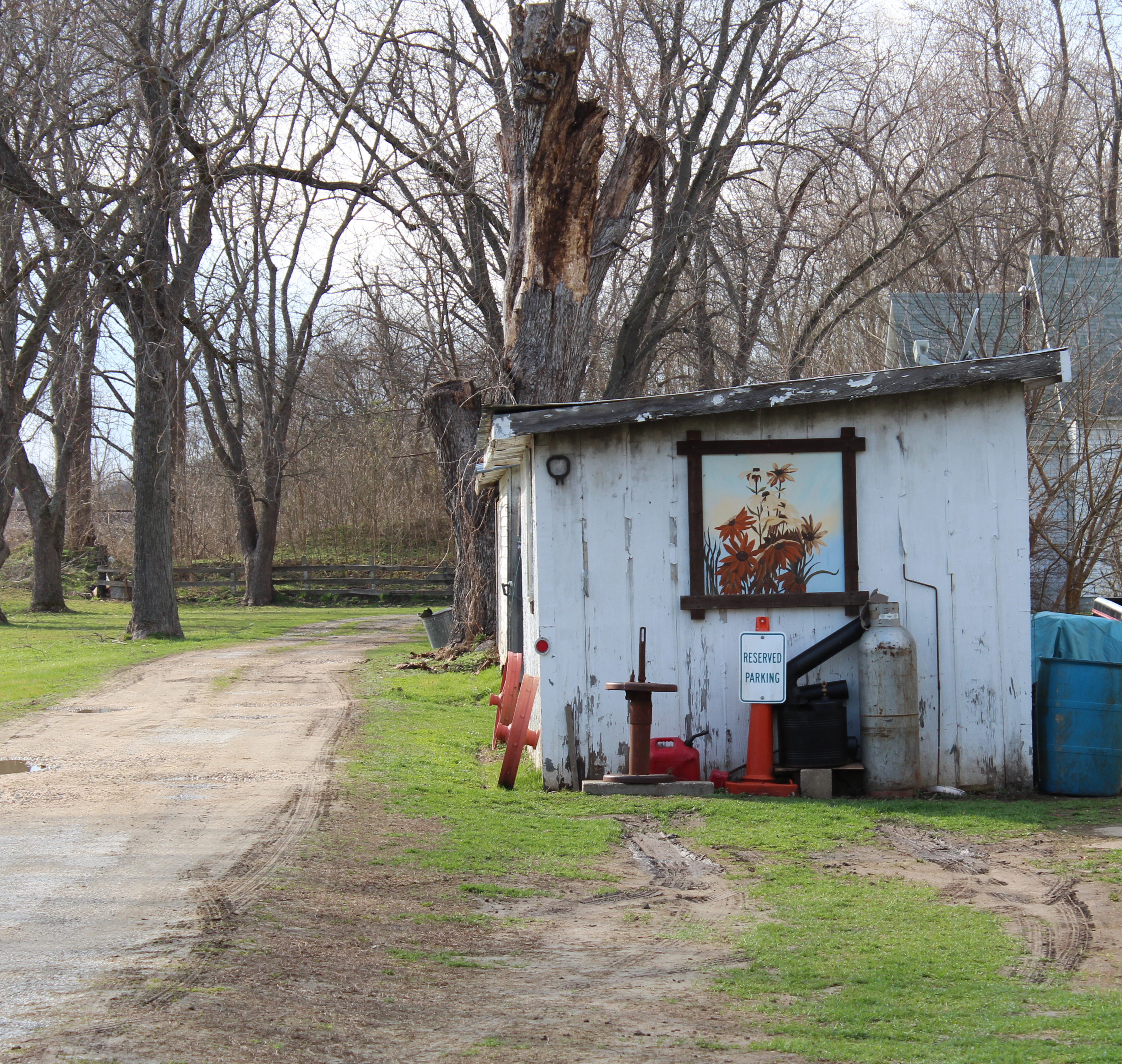
Reserved parking
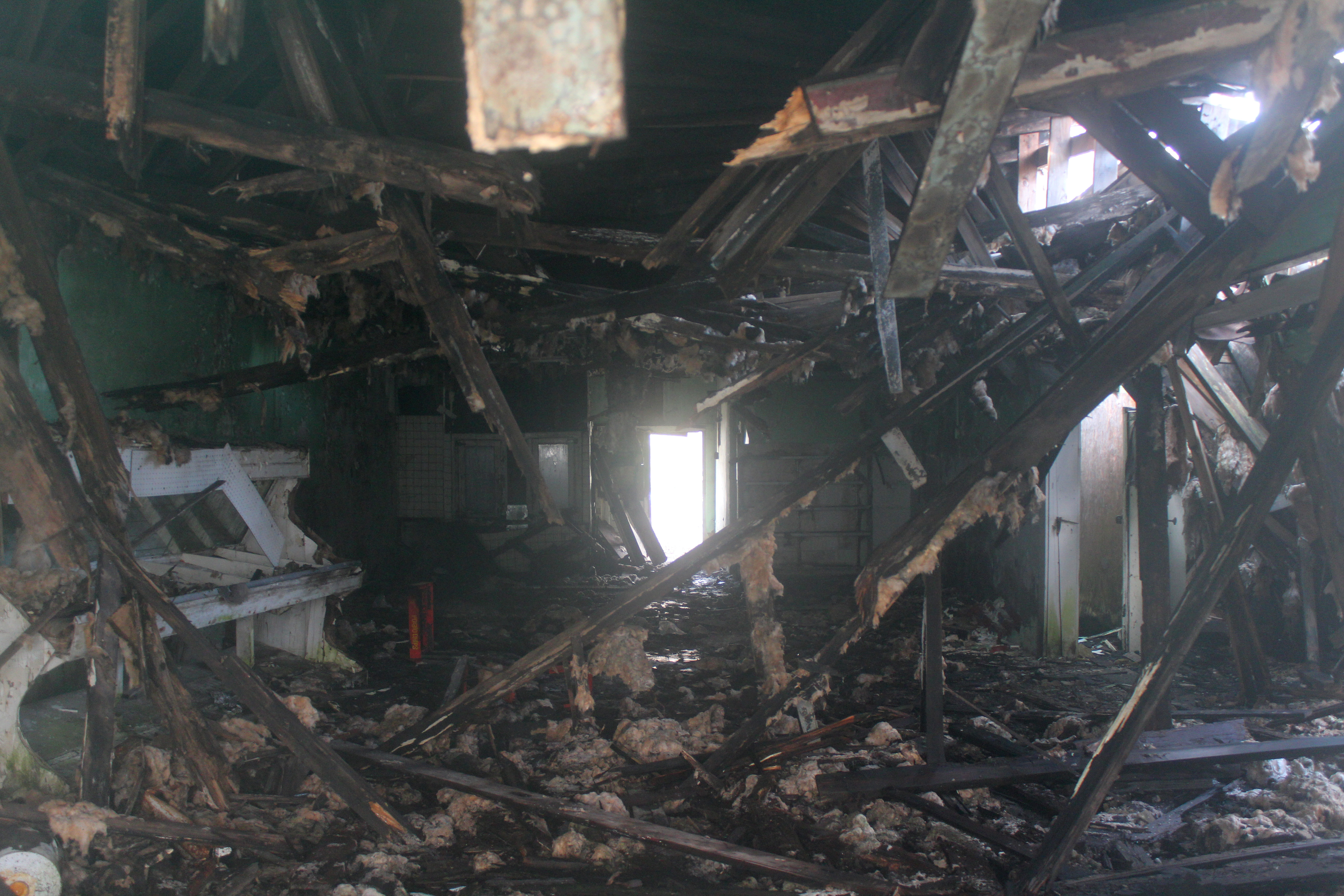
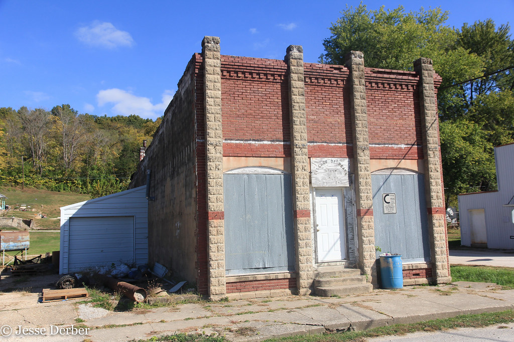
Collapsing store
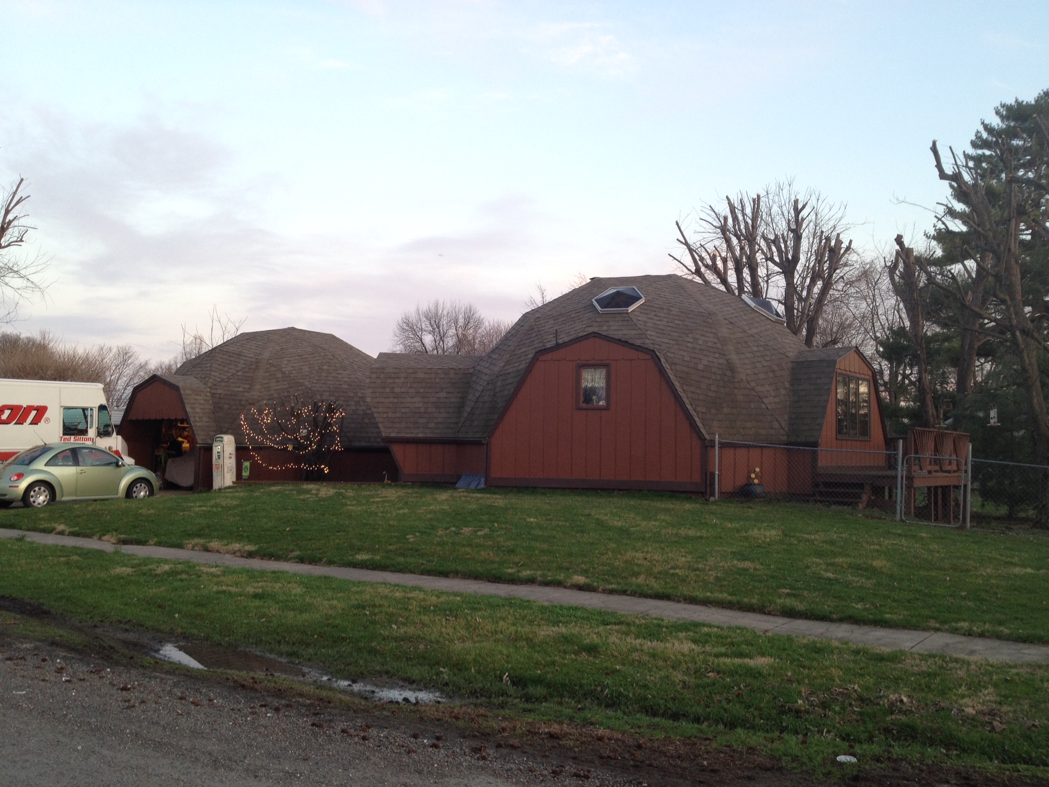
Double dome
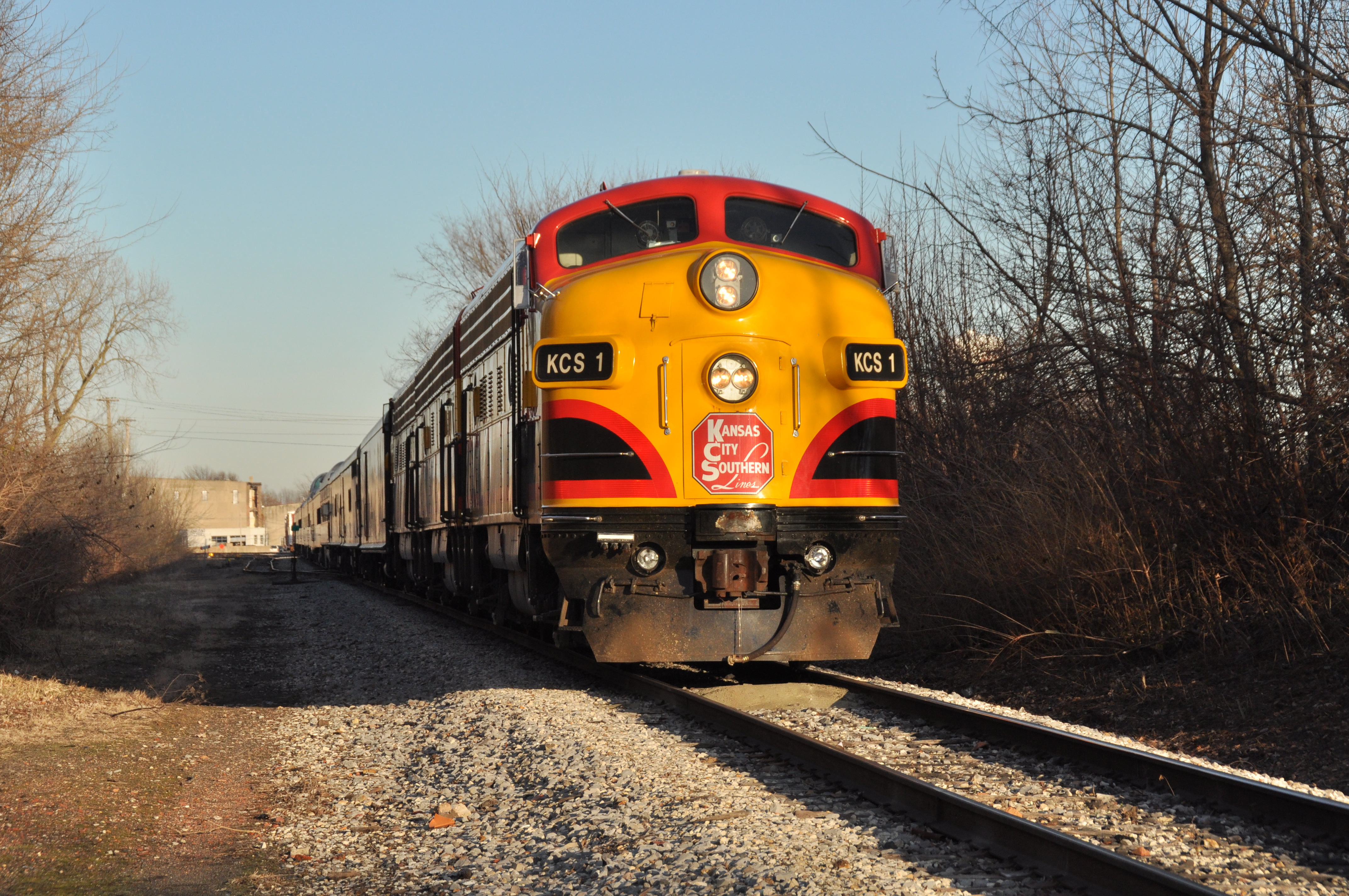
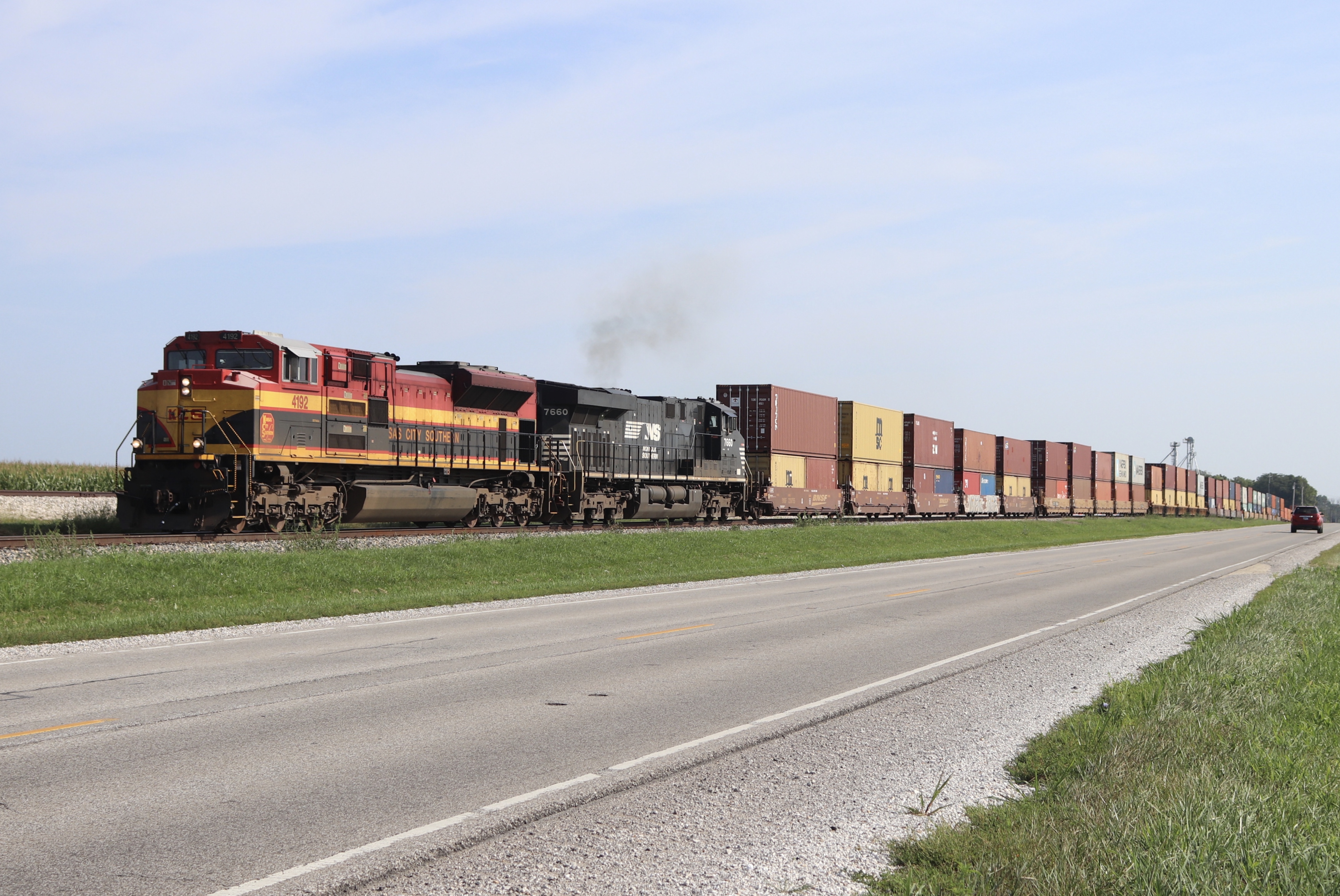
KCS 1
Pearl Village Hall
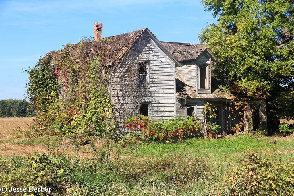
The Homestead
Topographic Map of Hillview, IL, USA
Find elevation by address:

Places near Hillview, IL, USA:
Patterson Township
Pearl
Main St, Pearl, IL, USA
Glasgow
Pearl Township
White Hall
N Jacksonville St, White Hall, IL, USA
Alsey Township
Alsey
Main St, Alsey, IL, USA
Alsey, IL, USA
Scott County
Roodhouse
Worcester St, Roodhouse, IL, USA
Greene County
203 Orr St
Roodhouse Township
2 S Main St, Winchester, IL, USA
Winchester
854 Taylor Ln
Recent Searches:
- Elevation of Corso Fratelli Cairoli, 35, Macerata MC, Italy
- Elevation of Tallevast Rd, Sarasota, FL, USA
- Elevation of 4th St E, Sonoma, CA, USA
- Elevation of Black Hollow Rd, Pennsdale, PA, USA
- Elevation of Oakland Ave, Williamsport, PA, USA
- Elevation of Pedrógão Grande, Portugal
- Elevation of Klee Dr, Martinsburg, WV, USA
- Elevation of Via Roma, Pieranica CR, Italy
- Elevation of Tavkvetili Mountain, Georgia
- Elevation of Hartfords Bluff Cir, Mt Pleasant, SC, USA