Elevation of Greene County, IL, USA
Location: United States > Illinois >
Longitude: -90.374835
Latitude: 39.4029862
Elevation: 151m / 495feet
Barometric Pressure: 100KPa
Elevation Map:
Satellite Map:
Related Photos:
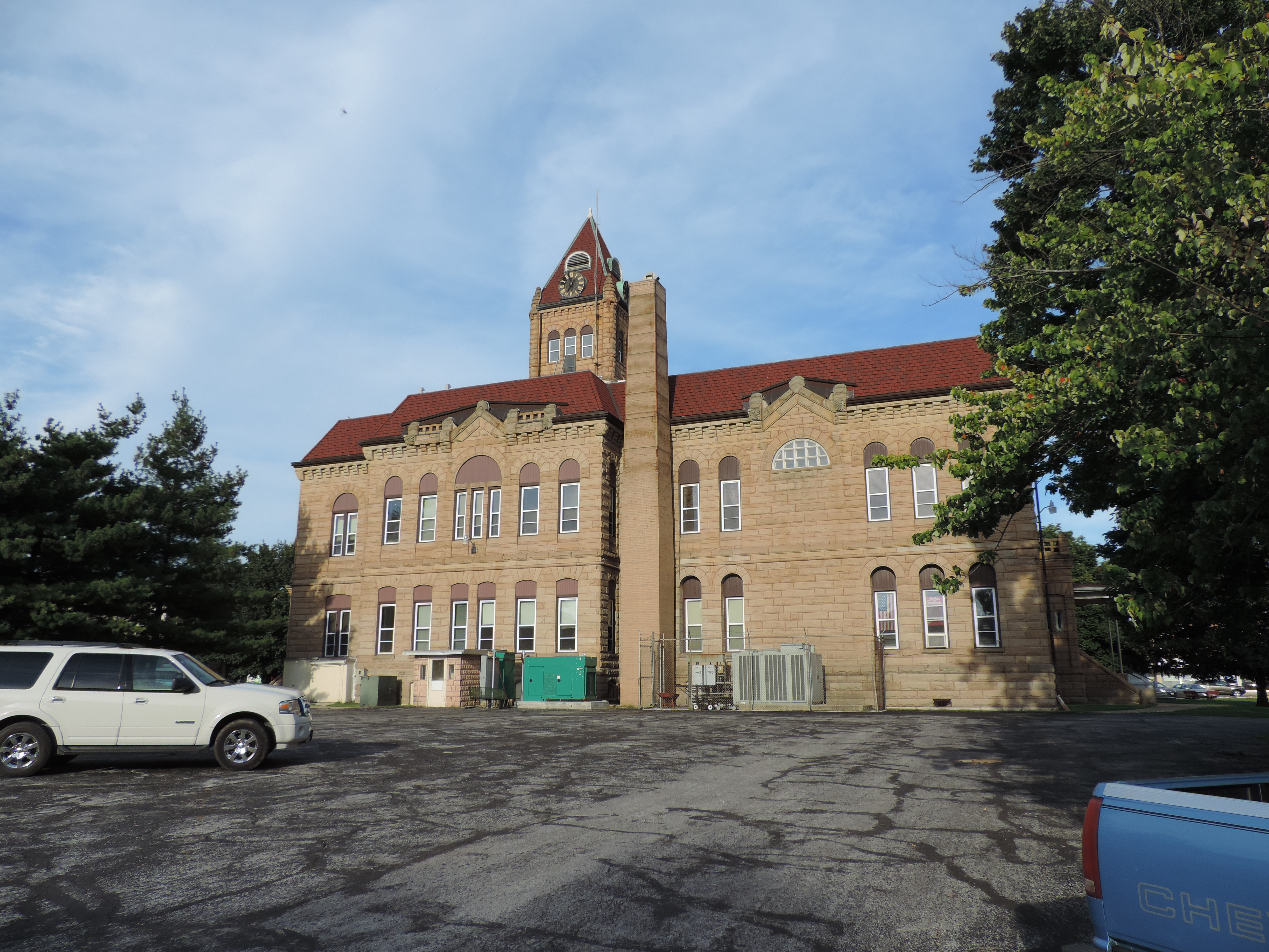
Greene County Courthouse, Rear View
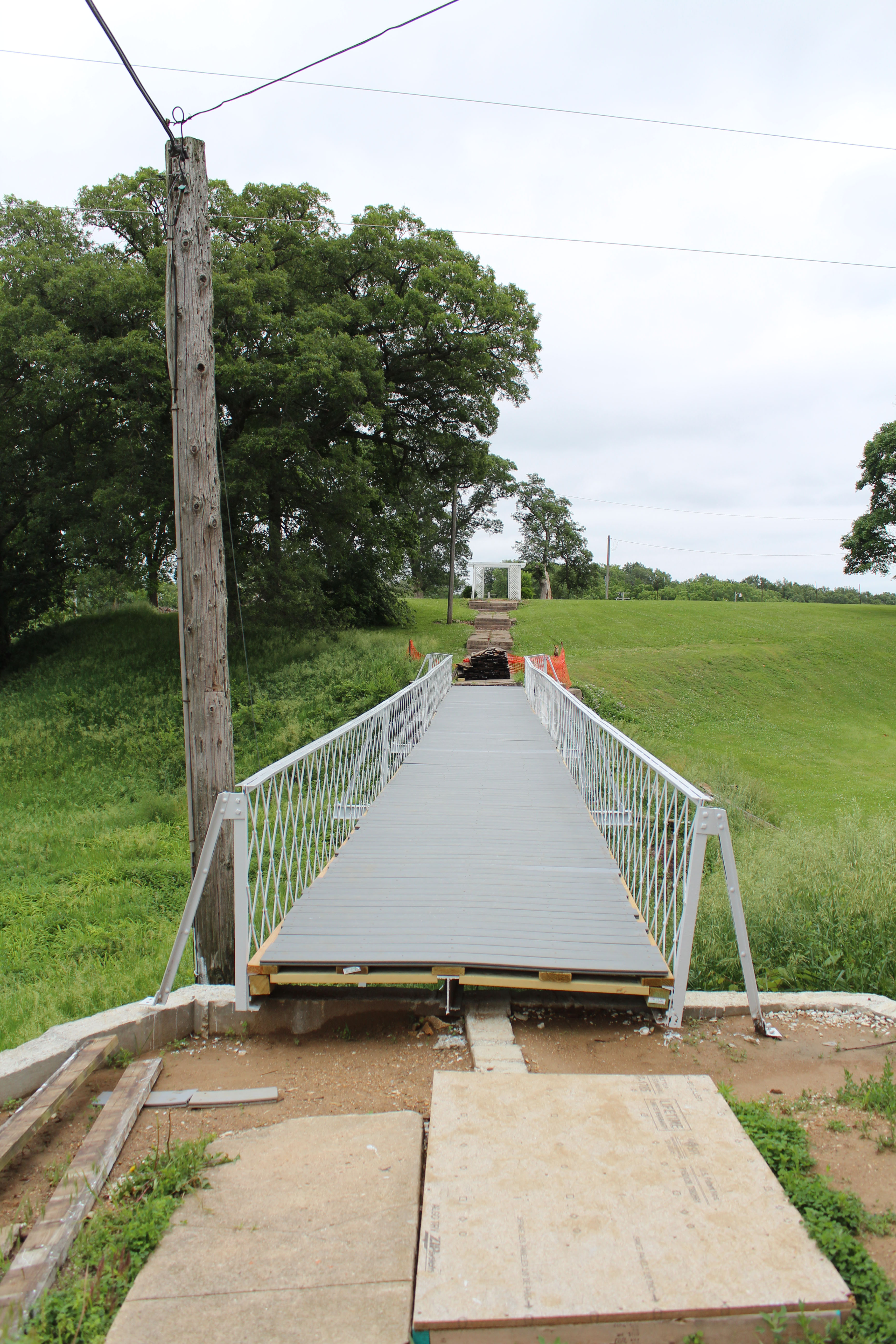
School bridge

2012-11-23 Greene County №009

2012-11-23 Greene County №014

2012-11-23 Greene County №007

2013 Day by Day №005/365

2012-11-23 Greene County №005

2012-11-23 Greene County №002

2012-11-23 Greene County №006

2012-11-23 Greene County №004

2012-11-23 Greene County №015

What Could Have Been
Topographic Map of Greene County, IL, USA
Find elevation by address:

Places in Greene County, IL, USA:
Places near Greene County, IL, USA:
N Jacksonville St, White Hall, IL, USA
White Hall
Worcester St, Roodhouse, IL, USA
Roodhouse
203 Orr St
Roodhouse Township
Patterson Township
Alsey Township
Main St, Alsey, IL, USA
Alsey
Alsey, IL, USA
Hillview
Glasgow
Scott County
2 S Main St, Winchester, IL, USA
Winchester
Pearl
Woodson
974 Lonergan Ln
974 Lonergan Ln
Recent Searches:
- Elevation of Corso Fratelli Cairoli, 35, Macerata MC, Italy
- Elevation of Tallevast Rd, Sarasota, FL, USA
- Elevation of 4th St E, Sonoma, CA, USA
- Elevation of Black Hollow Rd, Pennsdale, PA, USA
- Elevation of Oakland Ave, Williamsport, PA, USA
- Elevation of Pedrógão Grande, Portugal
- Elevation of Klee Dr, Martinsburg, WV, USA
- Elevation of Via Roma, Pieranica CR, Italy
- Elevation of Tavkvetili Mountain, Georgia
- Elevation of Hartfords Bluff Cir, Mt Pleasant, SC, USA