Elevation of Hestand, KY, USA

Location: United States > Kentucky > Monroe County >

Longitude: -85.629416

Latitude: 36.6542255

Elevation: 269m / 883feet

Barometric Pressure: 98KPa

Elevation Map:

elevation map of Hestand, KY, USA

Satellite Map:

Satellite map of Hestand, KY, USA

Related Photos:

old sky history classic abandoned rural vintage photography photo nikon antique tennessee celina neglected engineering americanflag bluesky pic oldbuildings flags historic retro photograph weathered courthouse thesouth hdr redwhiteblue cumberlandplateau ruralamerica engineeringasart beautifulsky historicbuilding claycounty 2015 smalltownamerica photomatix deepbluesky bracketed skyabove claycountycourthouse middletennessee vintagebuilding ruraltennessee hdrphotomatix ofandbyengineers ruralview hdrimaging retrobuilding classicbuilding celinatennessee ibeauty historyisallaroundus antiquebuilding hdraddicted allskyandclouds tennesseephotographer d5200 structuresofthesouth southernphotography screamofthephotographer hdrvillage celinatn engineeringisart jlrphotography photographyforgod worldhdr tennesseehdr nikond5200 hdrrighthererightnow engineerswithcameras hdrworlds jlramsaurphotography orrustyamericanrelicsfadingamericait’saretroworldafteralloldandbeautifulvanishingamerica claycountytncourthouse
Clay County, TN Courthouse - Celina, TN
sky history clouds rural photography photo nikon kentucky engineering bluesky pic oldbuildings historic photograph americana courthouse thesouth hdr cumberlandplateau ruralamerica whiteclouds engineeringasart beautifulsky courtsquare monroecounty historicbuilding 2015 smalltownamerica photomatix deepbluesky bracketed skyabove tompkinsville hdrphotomatix ofandbyengineers ruralview fadingamerica monroecountycourthouse hdrimaging uscountycourthouses ruralkentucky vanishingamerica tompkinsvillekentucky oldandbeautiful ibeauty historyisallaroundus hdraddicted allskyandclouds tennesseephotographer structuresofthesouth southernphotography screamofthephotographer hdrvillage tompkinsvilleky engineeringisart jlrphotography photographyforgod worldhdr d7200 hdrrighthererightnow engineerswithcameras hdrworlds jlramsaurphotography nikond7200 americanrelics it’saretroworldafterall monroecountykycourthouse
Monroe County, KY Courthouse - Tompkinsville, KY
river mural tn eagle tennessee celina baldeagle riverboat cumberlandriver paddlewheel claycounty bmok tn52
Riverboat Mural - Celina, TN
tn tennessee celina courthouse 1872 claycounty countycourthouse uscctnclay bmok tn52 bmok2
Clay County Courthouse - Celina, TN
kentucky ky monroecounty
Old Mulkey Meetinghouse Interior View
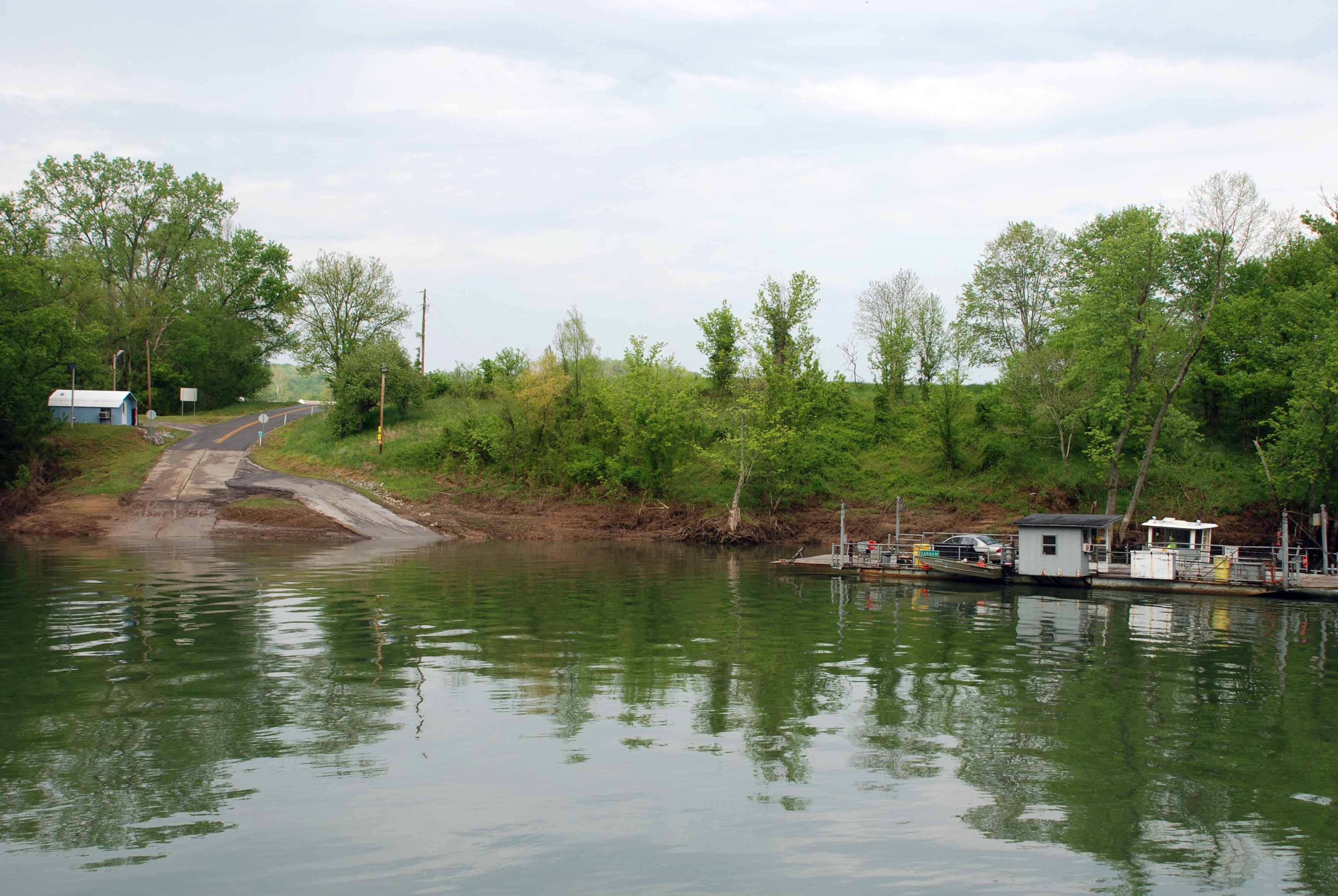
Turkey Neck Bend Ferry
panorama reunion ranger tennessee 7d airborne rangers hilltop thecabin rangerreunion canon7d thehilltop a75thranger
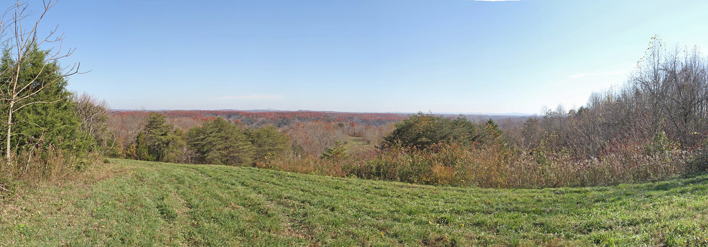
Tennessee Panorama 1
reunion ranger 7d airborne hilltop panoramapart rangerreunion canon7d thehilltop a75th
Tennessee Panorama 2
reunion ranger 7d airborne hilltop panoramapart rangerreunion canon7d thehilltop a75th
Tennessee Panorama 3
reunion ranger tennessee 7d hillside airborne rangers hilltop thecabin rangerreunion canon7d thehilltop a75th a75thrangers
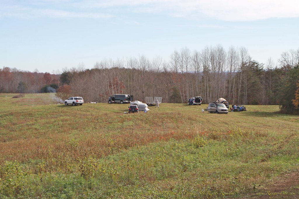
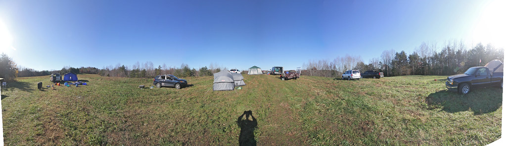
7D-IMG_1072-2 Campsite
reunion ranger tennessee 7d hillside airborne rangers hilltop thecabin rangerreunion canon7d thehilltop a75th a75thrangers
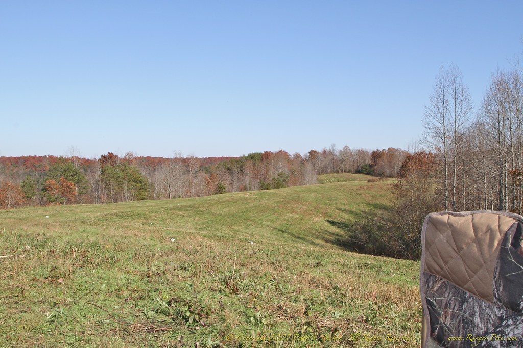
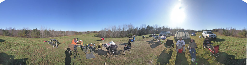
7D-IMG_0836-2 Downrange
kentucky ky monroecounty
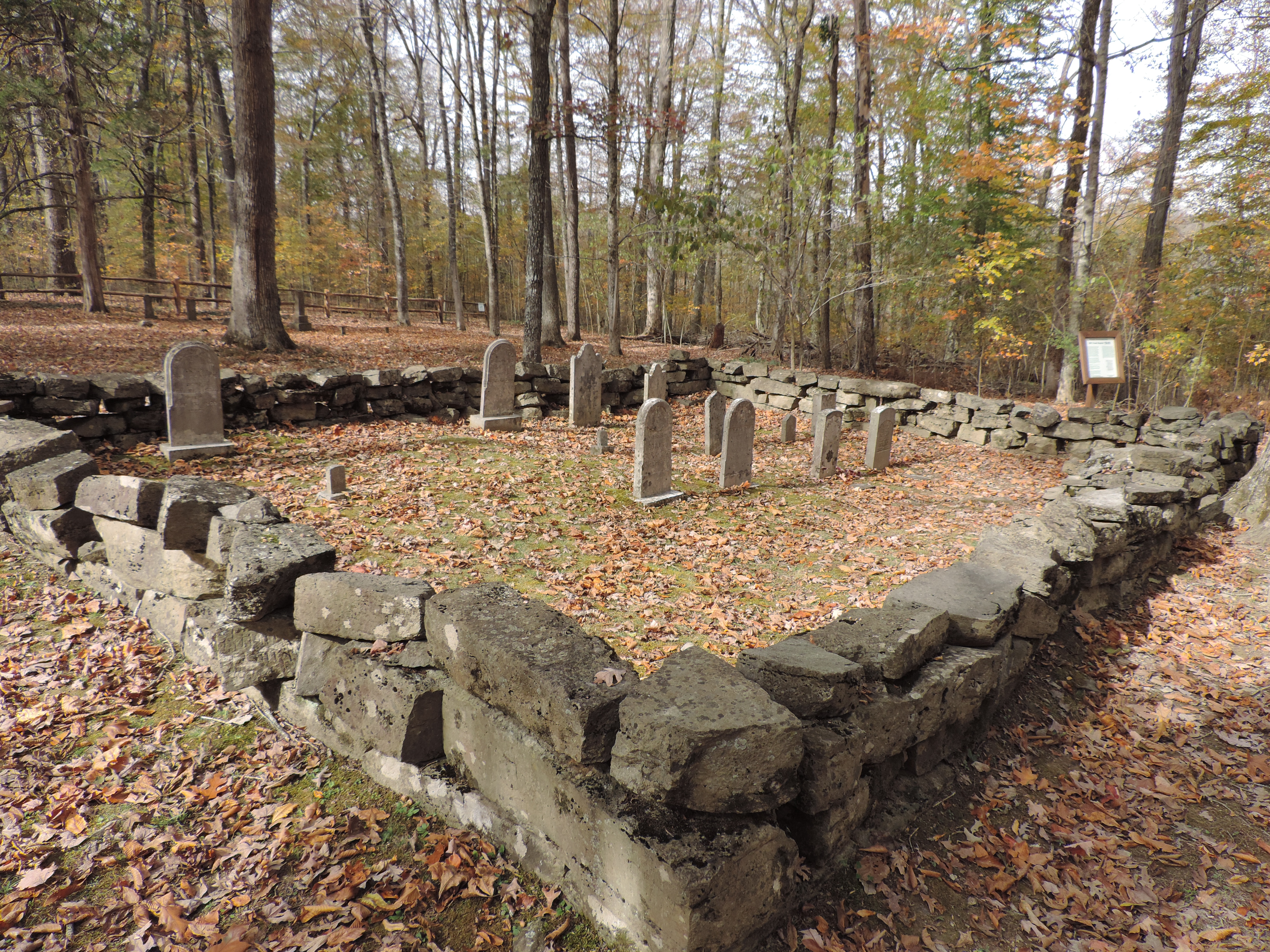
Stone Grave Encloseure
reunion ranger tennessee 7d hillside airborne rangers hilltop thecabin rangerreunion canon7d thehilltop a75th a75thrangers
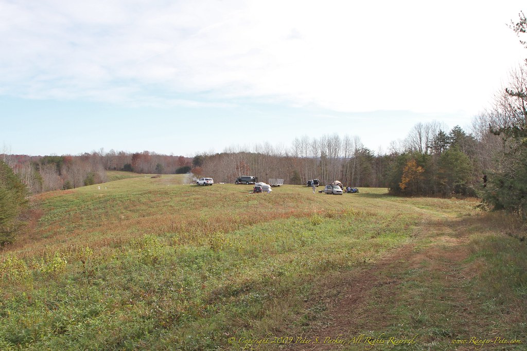
7D-IMG_1071-2 Campsite
Pitcock Branch creek - 01
Pitcock Branch creek - 02