Elevation of Clay County Hwy, Red Boiling Springs, TN, USA
Location: United States > Tennessee > Clay County > Red Boiling Springs >
Longitude: -85.779193
Latitude: 36.579761
Elevation: 230m / 755feet
Barometric Pressure: 99KPa
Elevation Map:
Satellite Map:
Related Photos:

Old Mulkey Meetinghouse Interior View
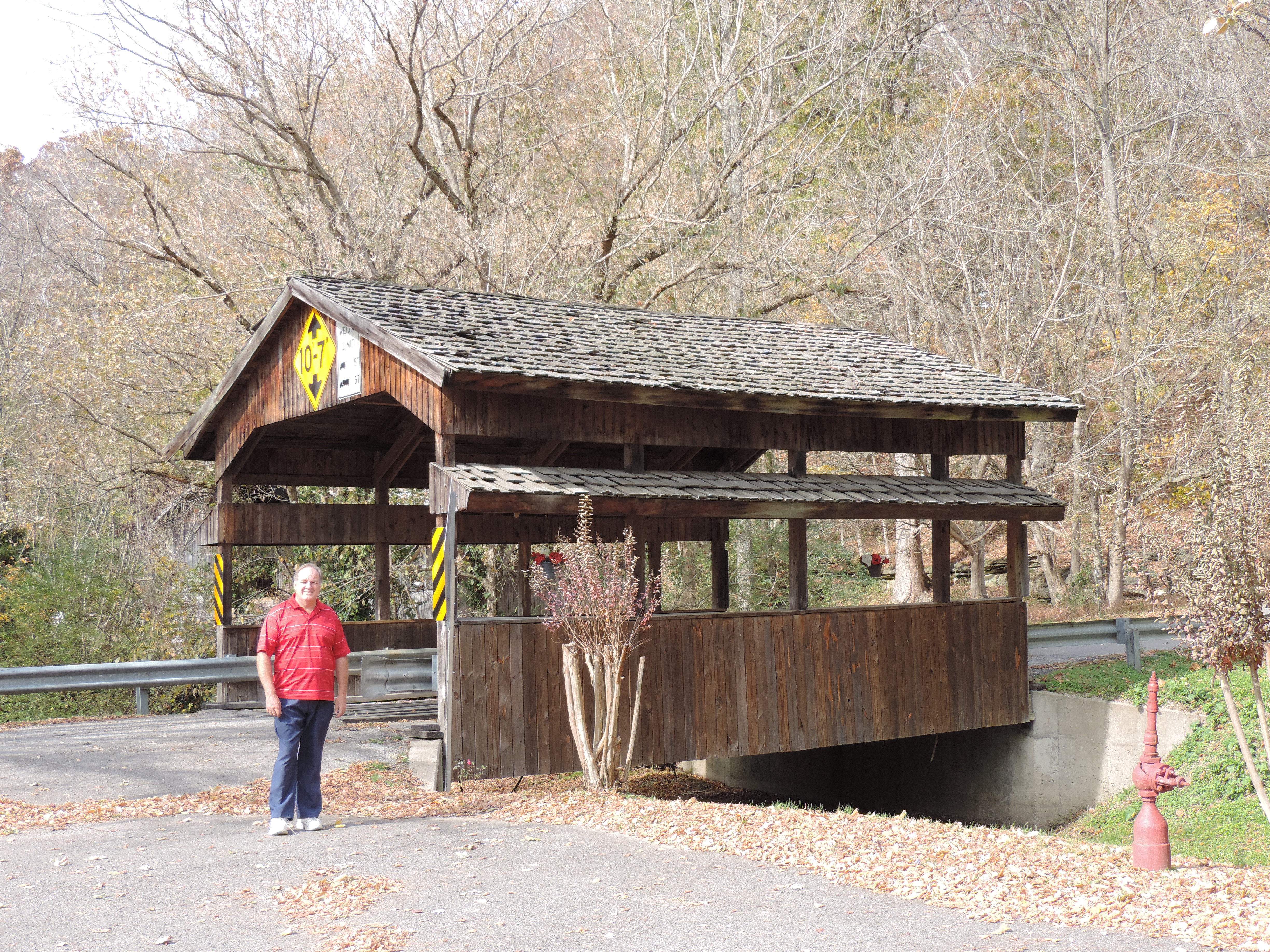
Valley View Drive Covered Bridge

7D-IMG_1018-2 The Cabin - Front View
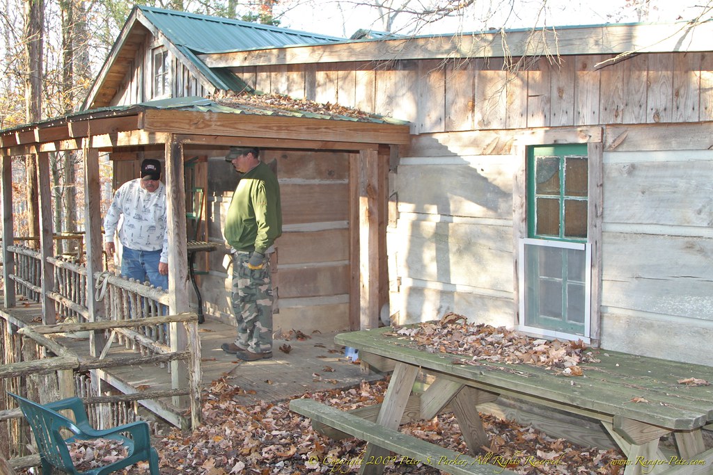
7D-IMG_1019-2 The Cabin - Back View

Monroe County, KY Courthouse - Tompkinsville, KY
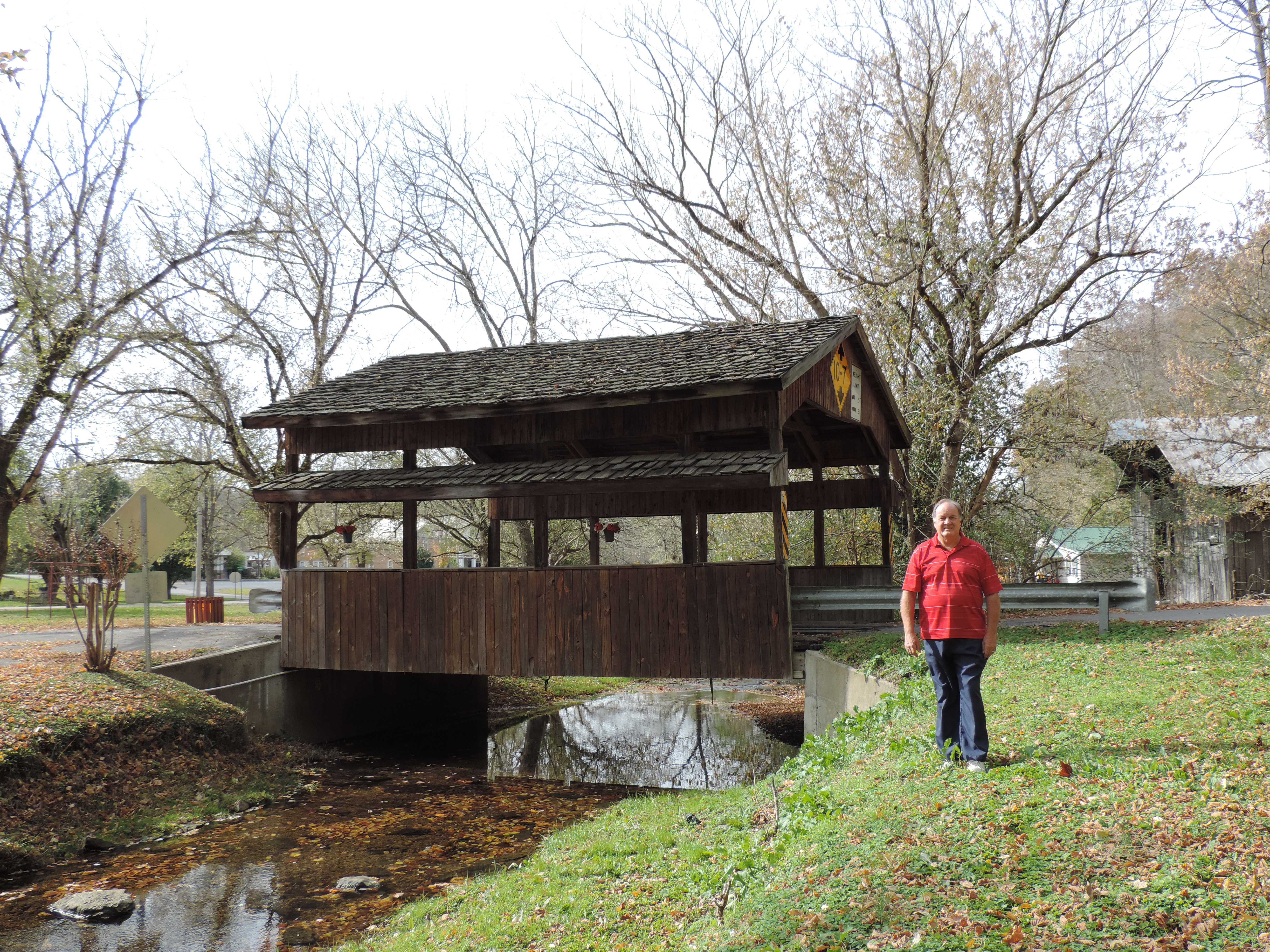
Valley View Drive Covered Bridge
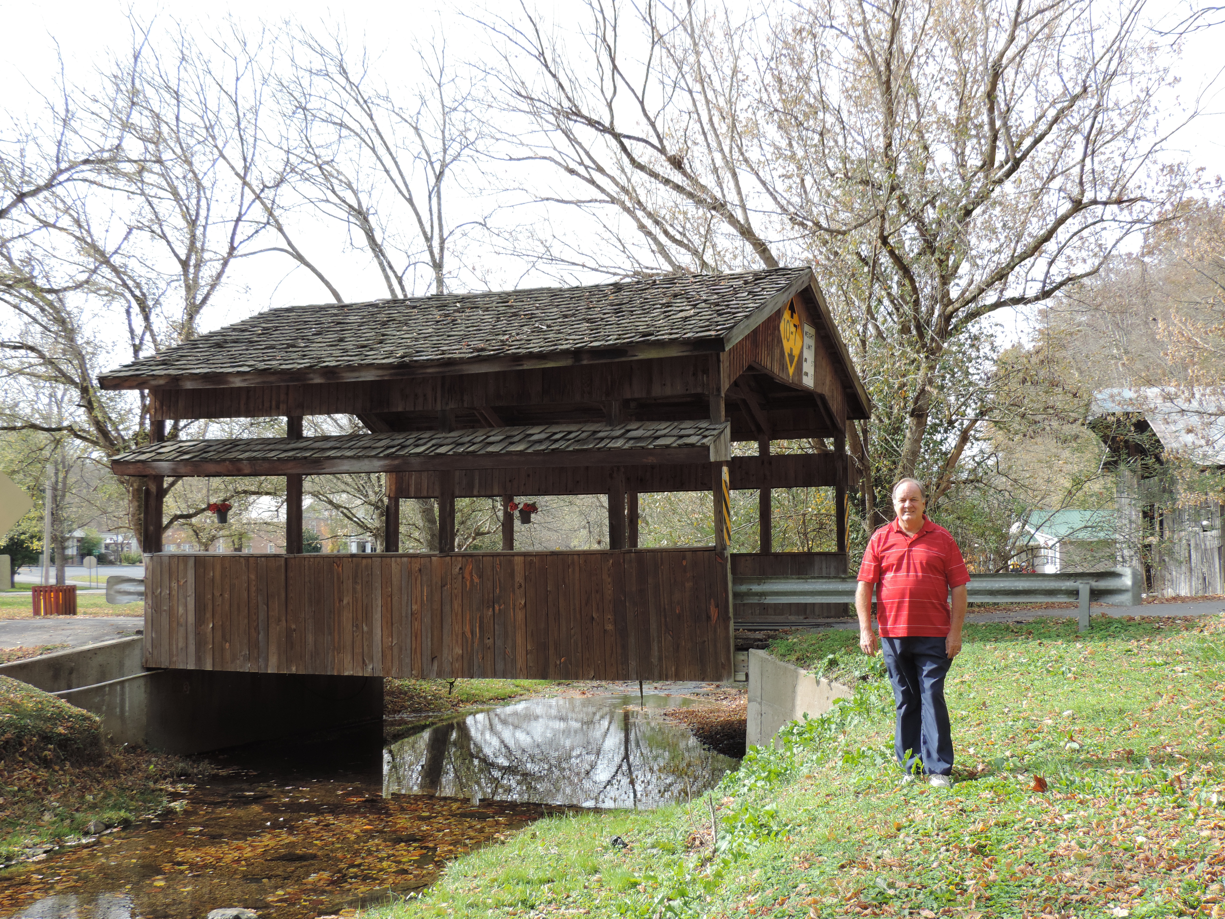
Valley View Drive Covered Bridge
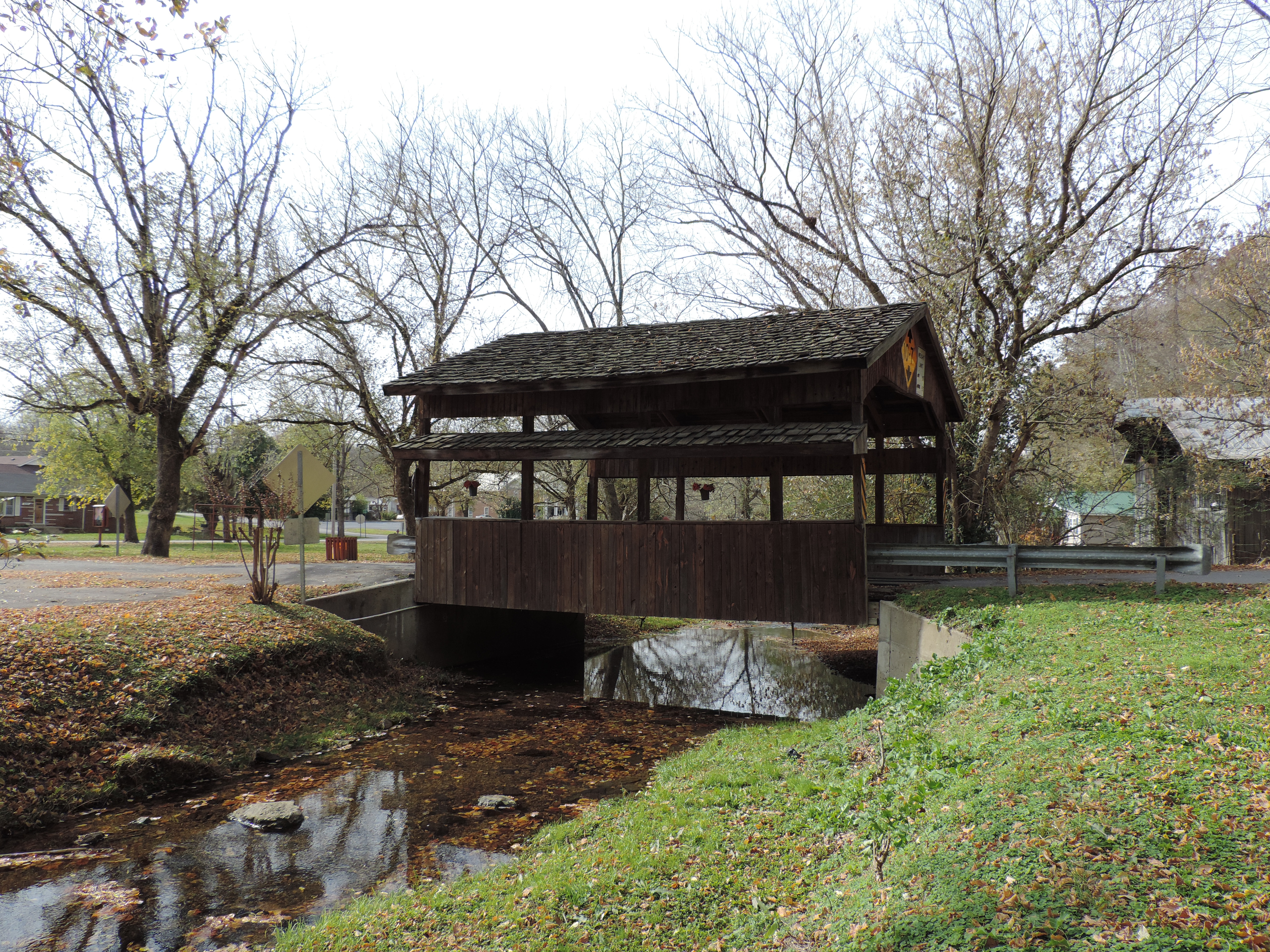
Valley View Drive Covered Bridge
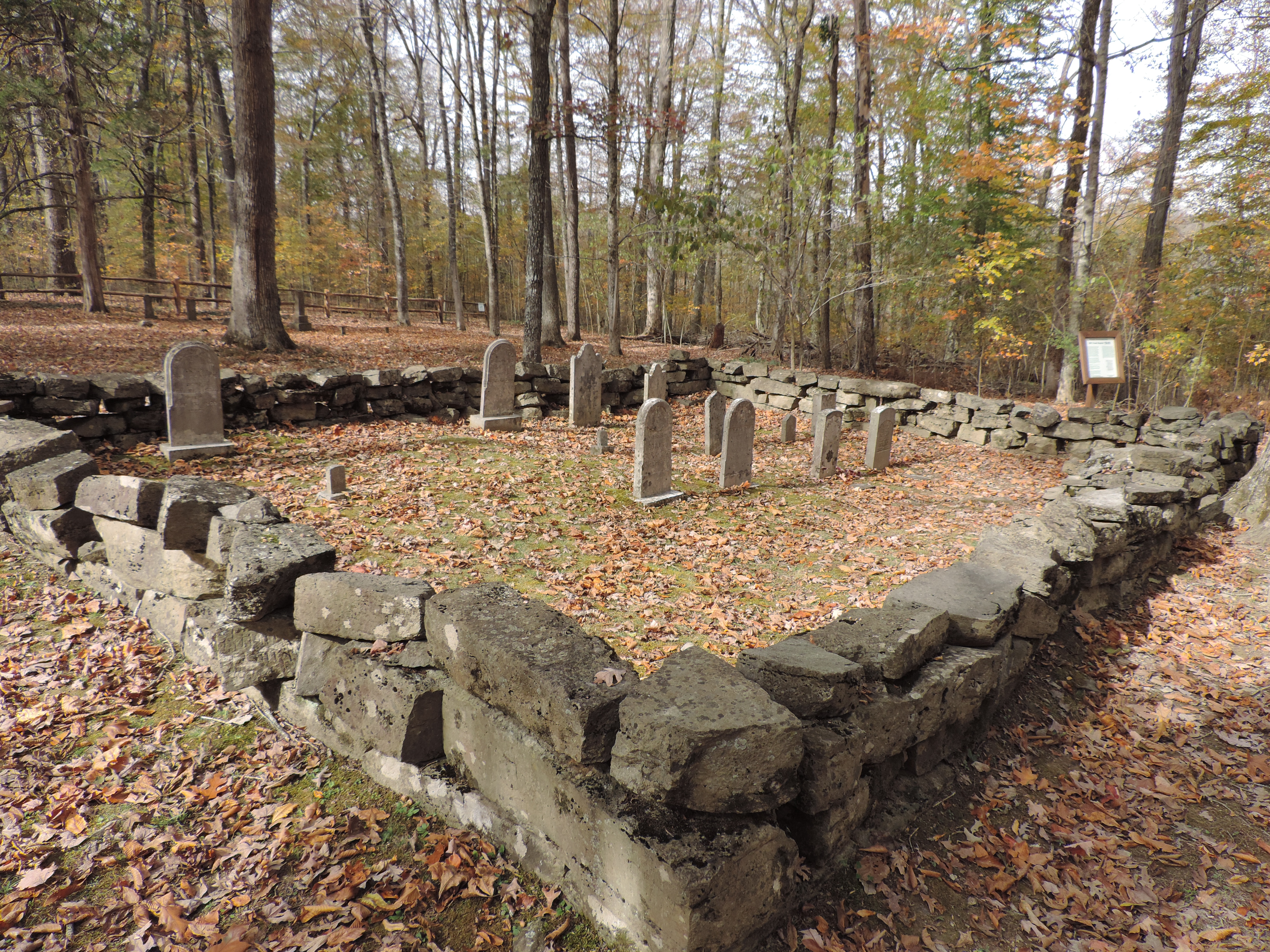
Stone Grave Encloseure
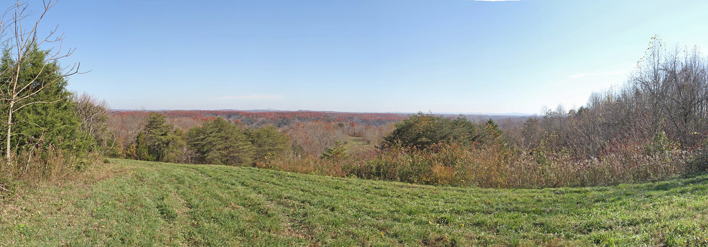
Tennessee Panorama 1
Tennessee Panorama 2
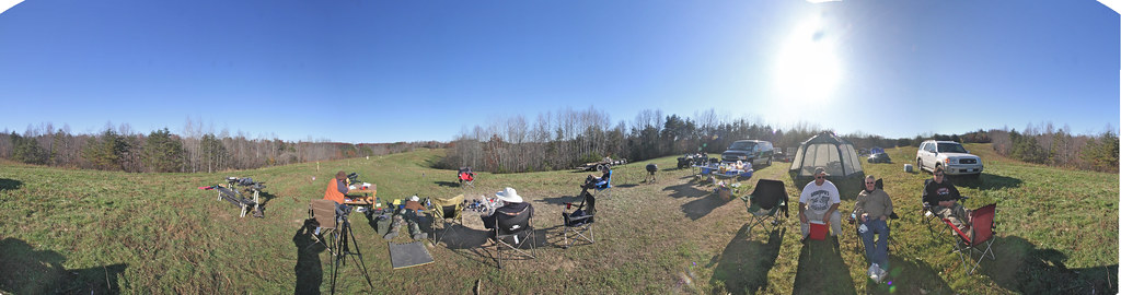
Tennessee Panorama 3
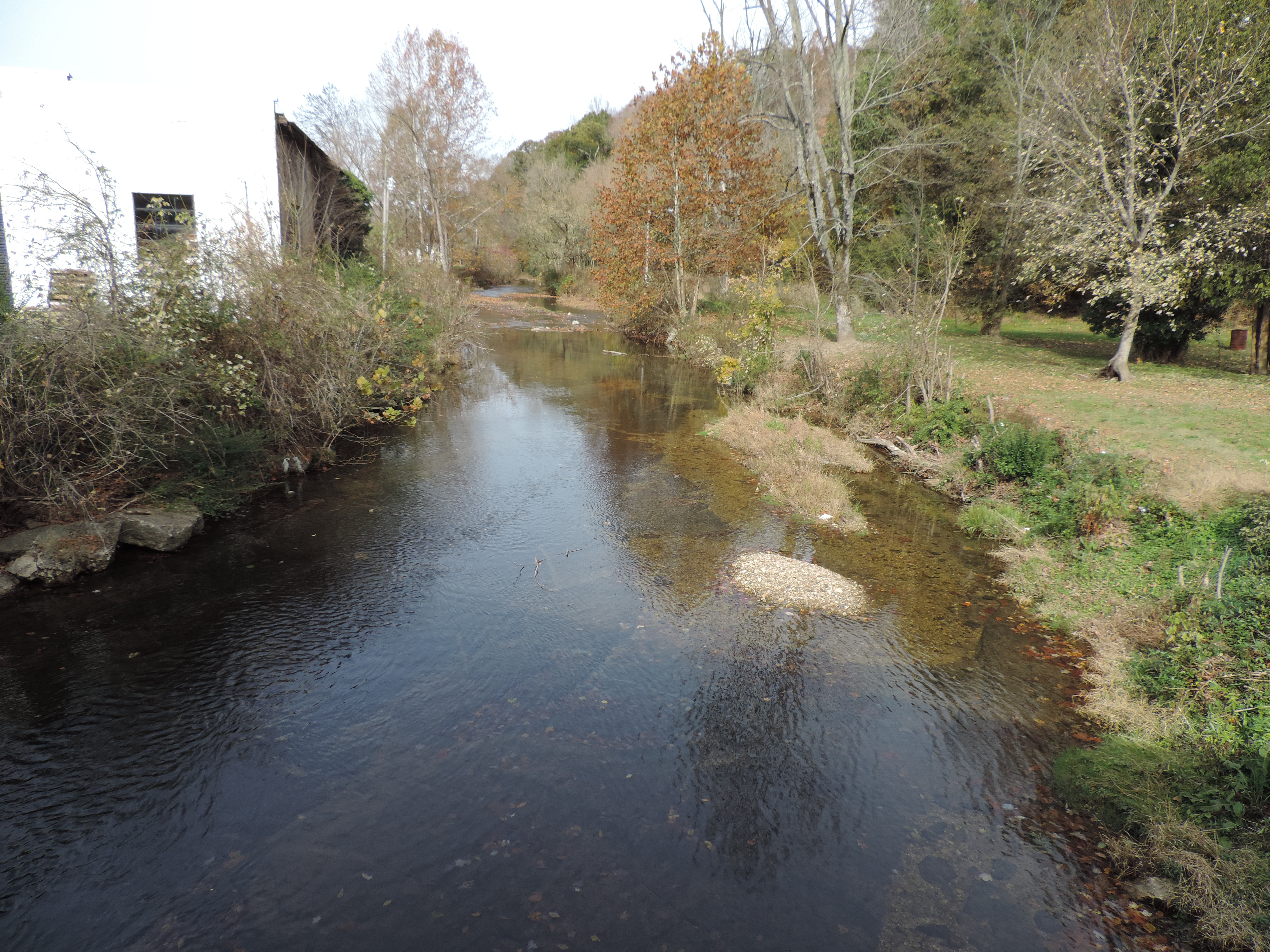
Salt Lick Creek from the Covered Bridge
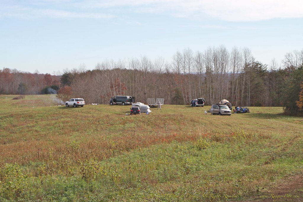
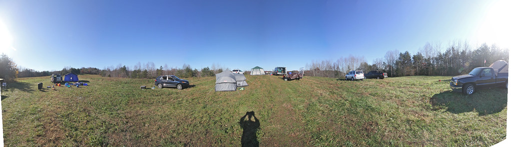
7D-IMG_1072-2 Campsite
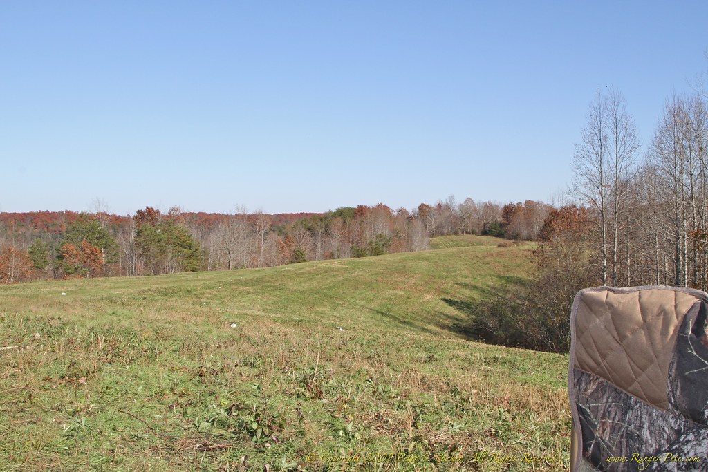
7D-IMG_0836-2 Downrange
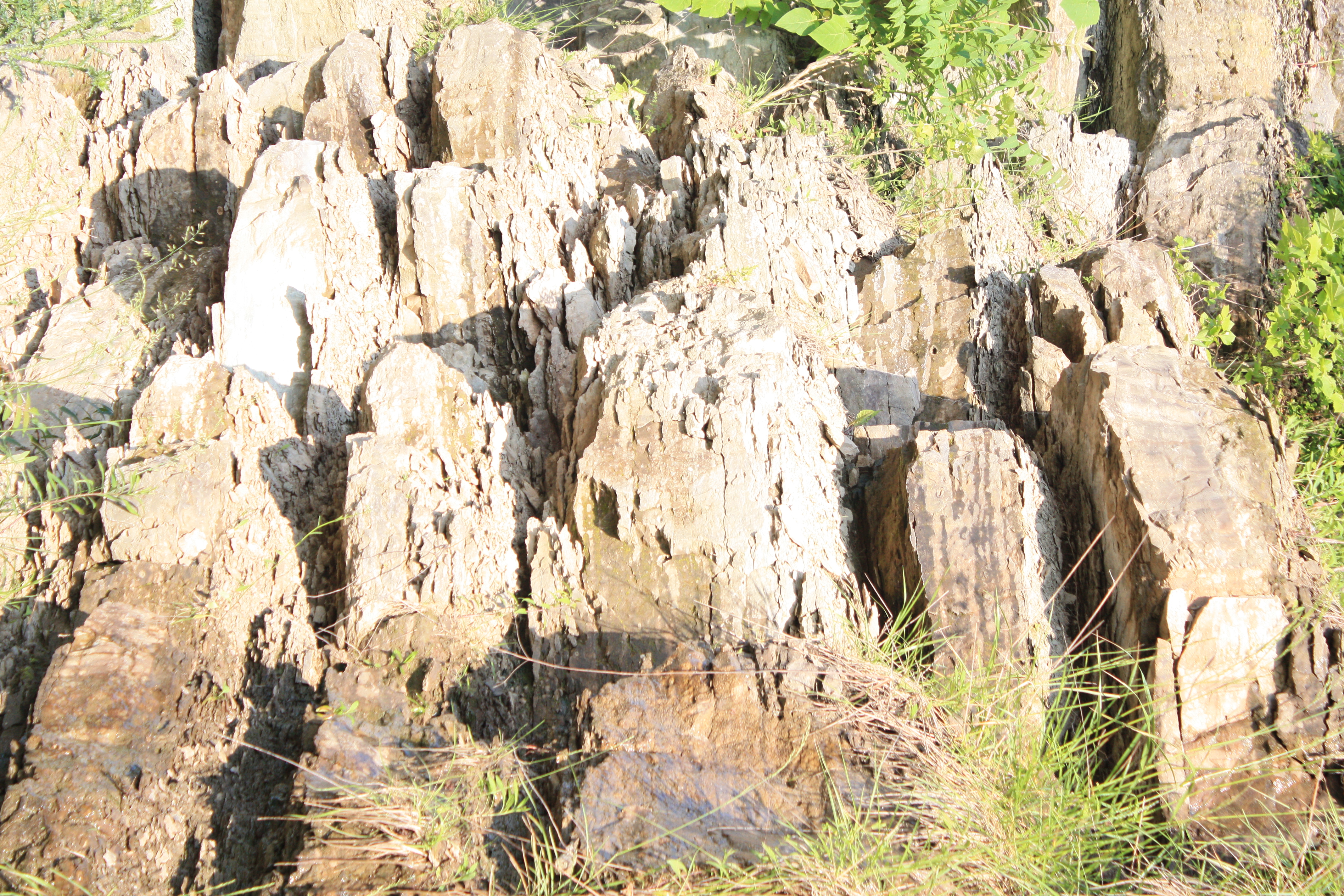
Faces in the rocks
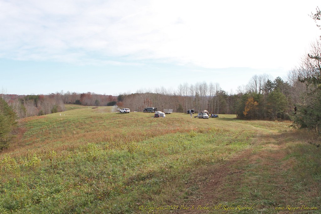
7D-IMG_1071-2 Campsite

Faces in the rocks
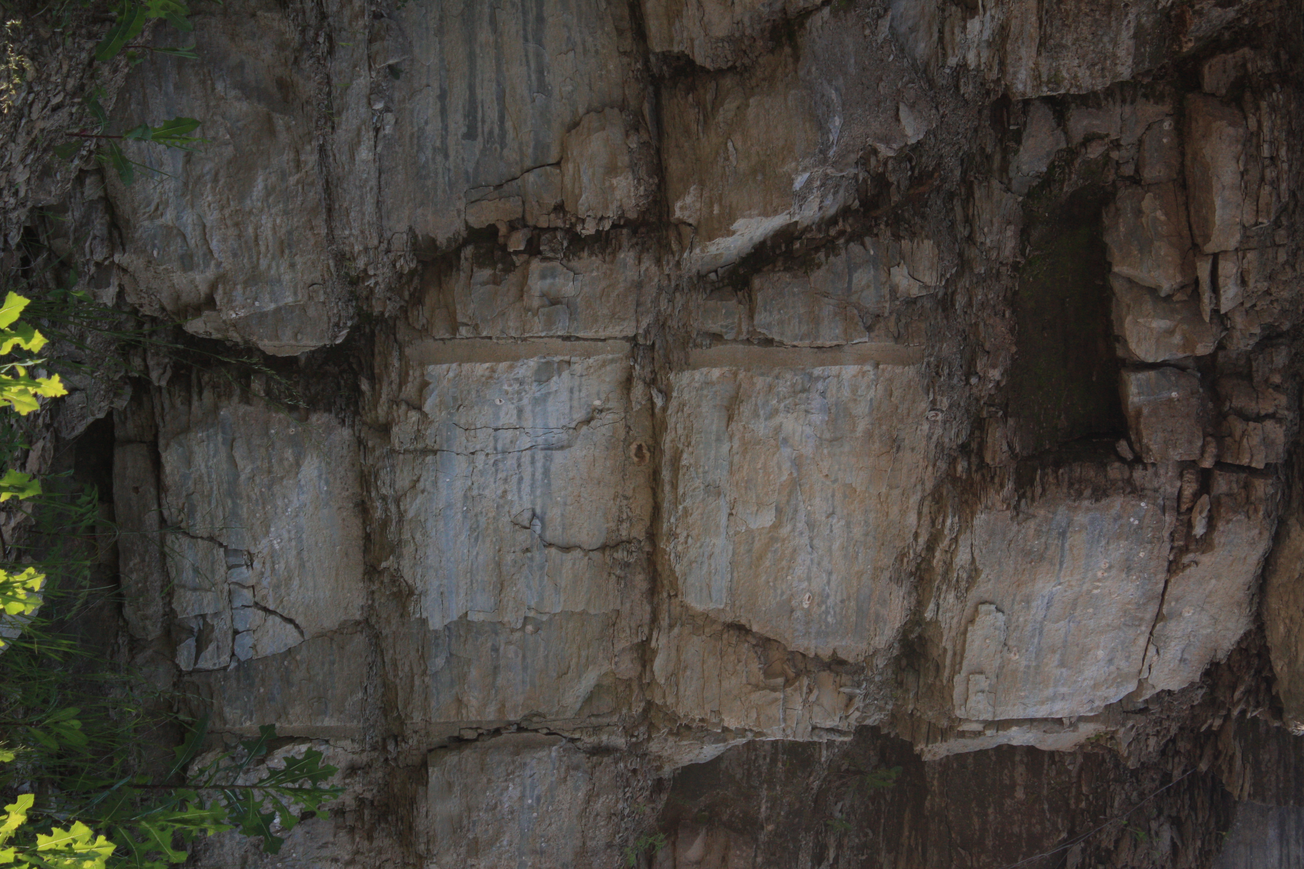
Faces in the rocks
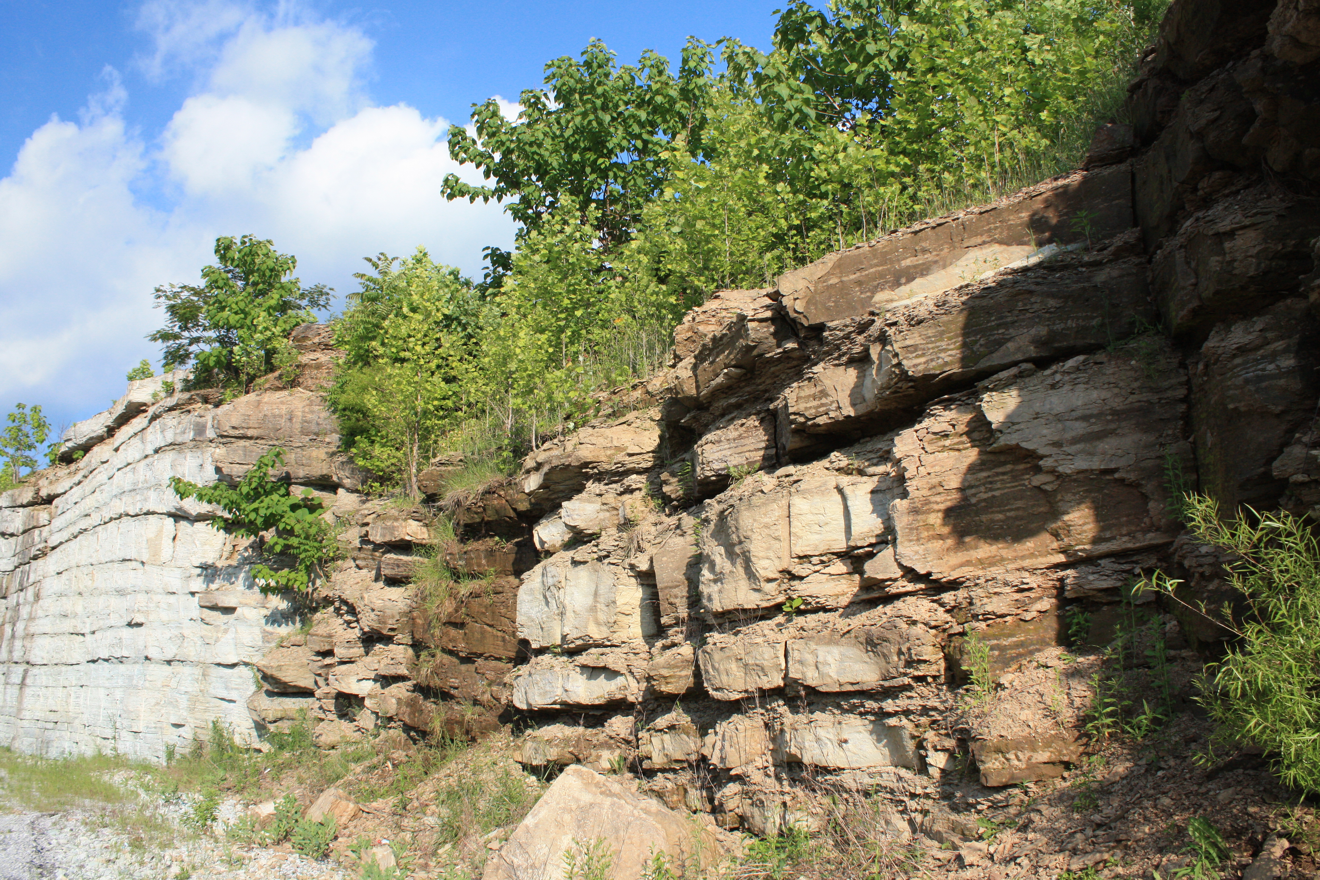
Tennessee rock walls

Faces in the rocks
Faces in the rocks
Topographic Map of Clay County Hwy, Red Boiling Springs, TN, USA
Find elevation by address:

Places near Clay County Hwy, Red Boiling Springs, TN, USA:
Brady Road
487 Union Hill Moss Rd
487 Union Hill Moss Rd
N Main St, Tompkinsville, KY, USA
Tompkinsville
245 Kendall Rd
245 Kendall Rd
Moss
117 Spring Valley Rd
Hestand
State Hwy, Hestand, KY, USA
6958 Clay County Hwy
Clay County Highway
Mcclerran Cemetary Road
Clay County
1959 New Hope Rd
Vernon Rd, Hestand, KY, USA
Free Hill River Road
397 Star Point Rd
Star Point Road
Recent Searches:
- Elevation of Corso Fratelli Cairoli, 35, Macerata MC, Italy
- Elevation of Tallevast Rd, Sarasota, FL, USA
- Elevation of 4th St E, Sonoma, CA, USA
- Elevation of Black Hollow Rd, Pennsdale, PA, USA
- Elevation of Oakland Ave, Williamsport, PA, USA
- Elevation of Pedrógão Grande, Portugal
- Elevation of Klee Dr, Martinsburg, WV, USA
- Elevation of Via Roma, Pieranica CR, Italy
- Elevation of Tavkvetili Mountain, Georgia
- Elevation of Hartfords Bluff Cir, Mt Pleasant, SC, USA